
Pyla, Cyprus · October 2023
Pyla to Fig Tree Bay
A long-distance coastal journey from Larnaca toward the pristine waters of Protaras.
Car-free access to the start
The walk after the bus
- Nearby bus stop in the snapshot
- Uclan University
- Estimated access walk
- 0.24 km · ~3 min
- Walking-distance indicator
- Easy
This is the connection to the hike's start, not the full hike. A nearby stop does not guarantee a bus at your chosen time.
Sources and missing information
- Access source
- Stored walking-route estimate and official bus-stop snapshot
- Hike recorded
- October 2023
- Transport story checked
- Not documented
- Access snapshot verification date
- Not documented
- Access-walk ascent
- Not documented
- Access terrain and road safety
- Not documented
- Access water availability
- Not documented
- Bus service frequency
- Not documented
Distance is not a safety rating. Check current buses, access, weather, daylight and water; remote or hazardous terrain may require turning back.
44.2 km
Distance
236 m
Elevation gain
—
Peak
One day
Duration
Fields & Plateau
Terrain
October 2023
Date
Hard
Difficulty
Very strong
Mobile signal
Overview
The story of this trail
I walked from Pyla to Fig Tree Bay in October 2023. My recording covers 44.2 km with 236 m of ascent: a long day across fields and plateau, through Ayia Napa and on towards Protaras. This is my own route, not one designated nature trail. The challenge is the distance and the time spent in the open, rather than a big mountain climb.
The idea of walking east had been with me since my first year at university. On a 48 km round trip from Pyla to Xylophagou, I spotted Ayia Napa Marina on the horizon and thought that one day I would walk all the way there. I eventually reached Ayia Napa on foot, but the wish to explore further stayed with me. Fig Tree Bay gave that wish another destination.
By October 2023, though, I was walking for more than exploration. At the end of June 2023, the same classmates who had left me out of their summer plans excluded me again, this time from their reunion in Protaras. I did not say so at the time, but that, too, fed the decision to walk east: the place they had gathered in without me became the place I wanted to reach on my own feet. After a seizure in public in September 2023, I felt vulnerable and struggled with depression. Walking had always been a way to find independence, especially because I cannot legally drive. I hoped a long walk to Protaras might help me find some of that feeling again.
The day was beautiful, almost dreamlike, but reaching the beach did not make everything better. Even the kind reactions online could not fill what was missing. I want to be honest about that: a long walk can mean a great deal without solving everything. Looking back now, I do not regret going to Fig Tree Bay. The quiet roads, the open coast and the water at the finish are still moments I am glad to have kept.
Transport story
How do you get to Pyla from Limassol by bus?
Two buses: the intercity to Larnaca, then bus 424 to its last stop in Pyla, which is the trailhead.
- First bus
- Intercity bus to Larnaca from the Limassol New Port terminal, ride to the last stop, the Nicolaides Building
- Second bus
- Bus 424 from Larnaca Central Station to the last stop, UCLan University
- Trailhead
- UCLan University stop, Pyla
The route
Milestones from start to finish
Pyla to Fig Tree Bay
Drag to move · scroll to zoom
Elevation & steepness
4–123 m
Distance
44.19 km
Elevation gain
236 m
Elevation loss
273 m
Highest point
123 m
Lowest point
4 m
Steepness by distance
Major climbs & descents
The most significant sustained climbs and descents along the route.
Major climbs
Major descents
Road type
How the route is classified across its full distance.
Weather along the route
Loading the forecast…
Sun & shade through the day
Open sunShade category · from mapped tree cover along the routeCurrent date and time: …
Working out the sun along the route…
From the trail
Moments from the walk
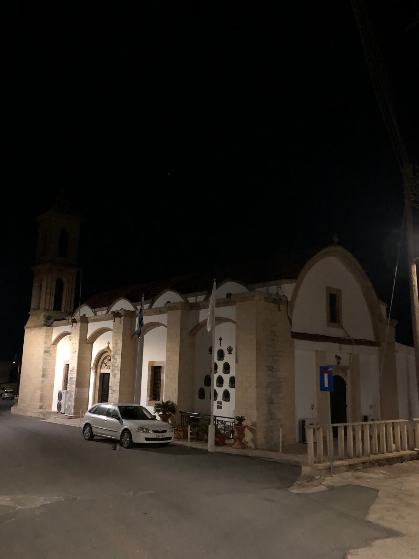
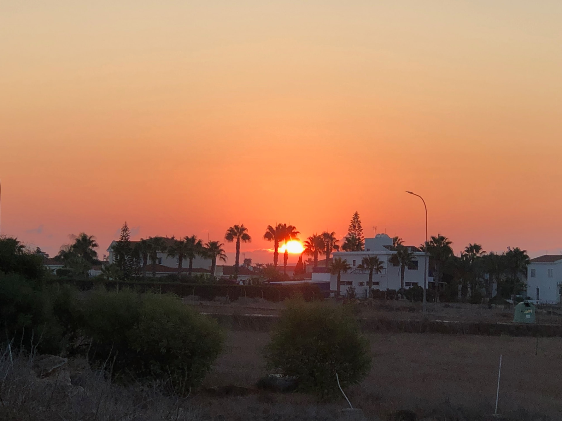
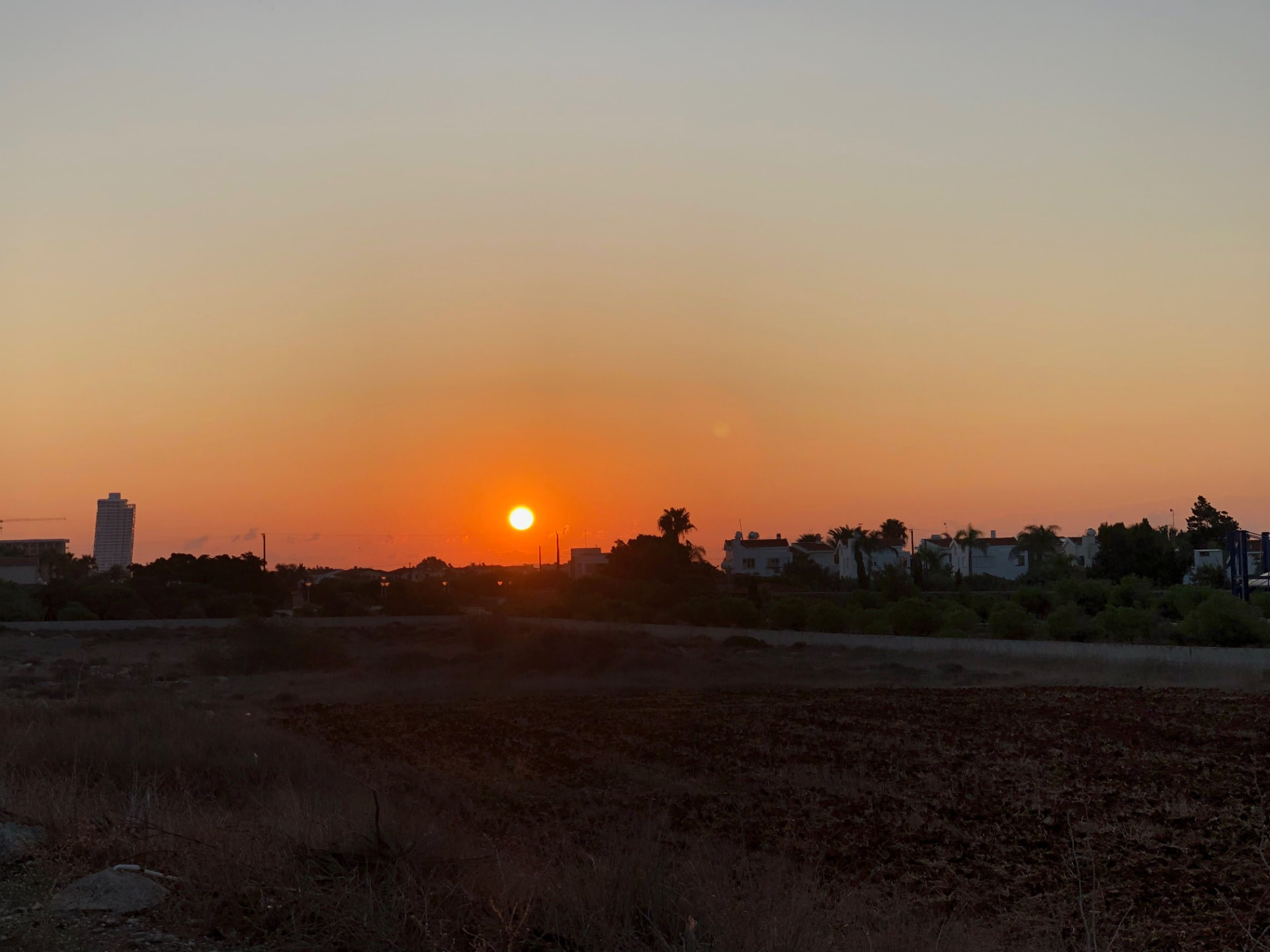
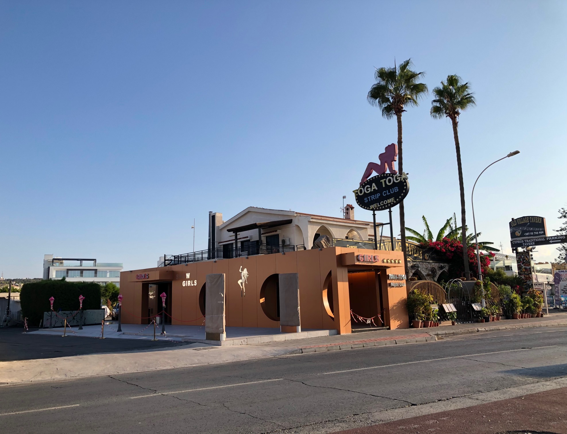
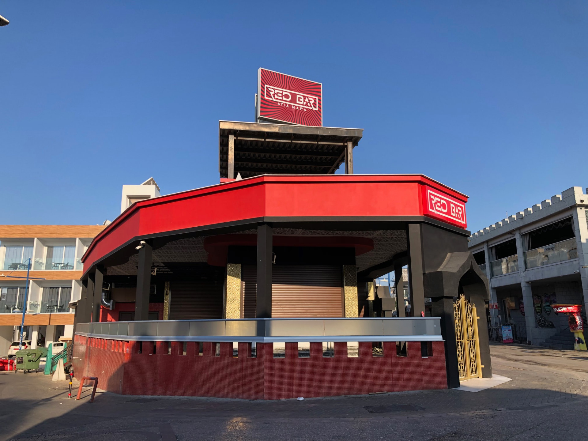
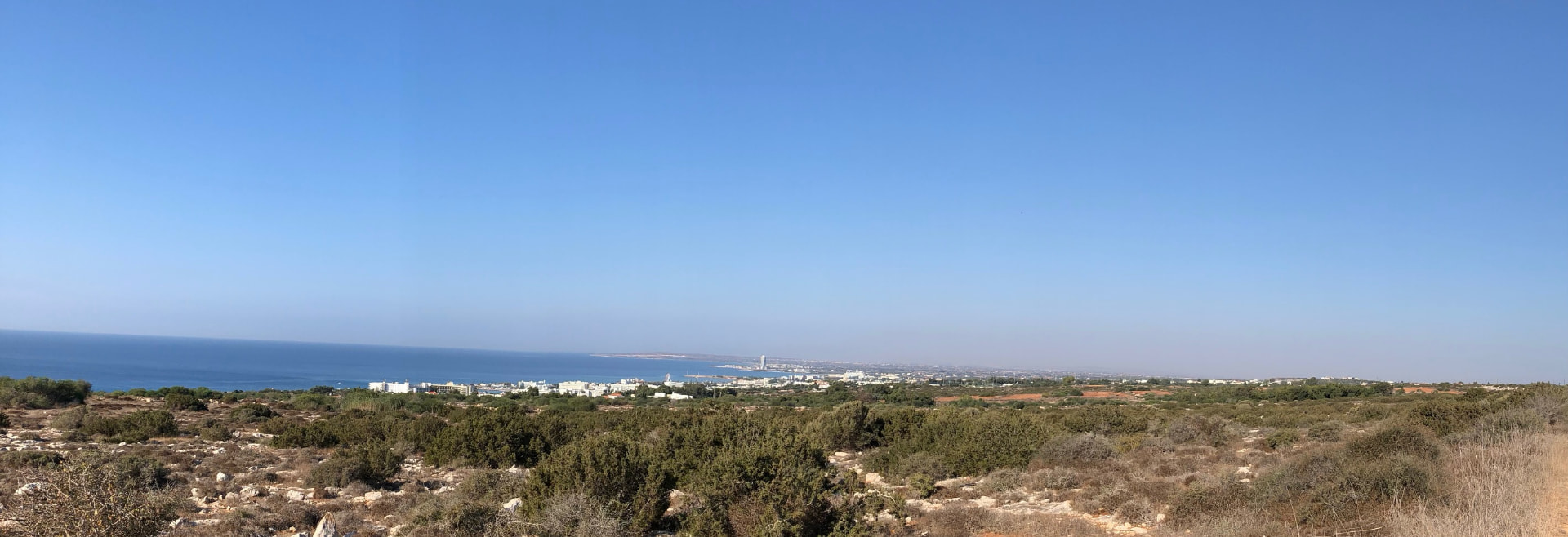
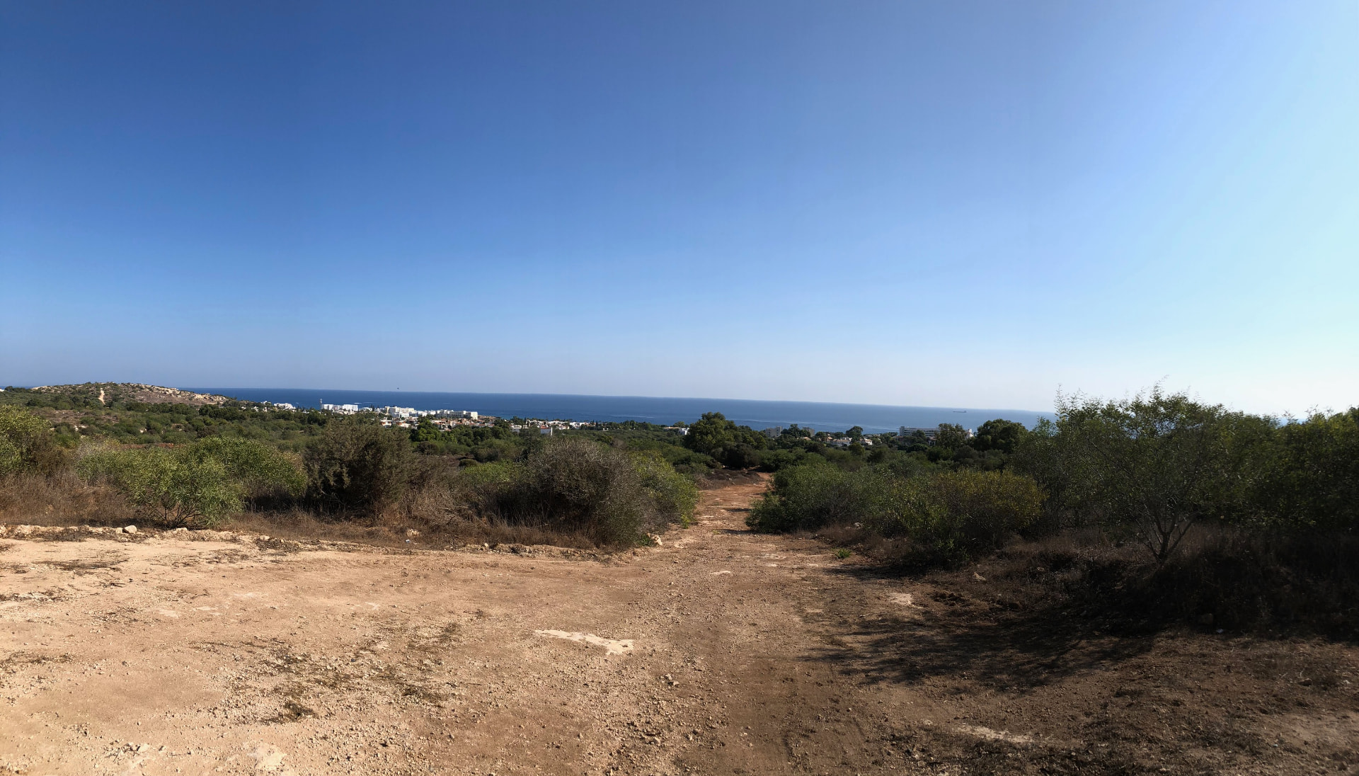
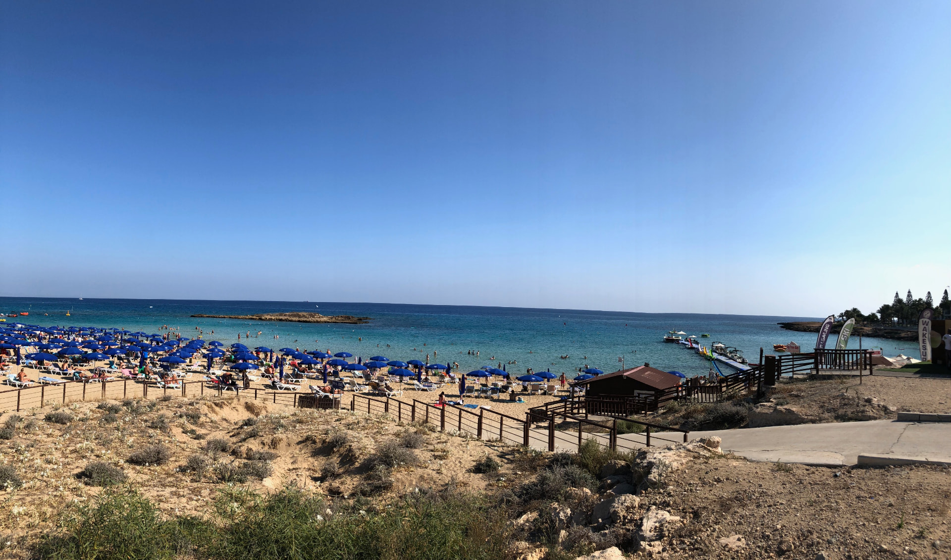
Drag sideways to see more photos
Trail notes
If you're planning to walk it
Access
The trailhead is a three-minute walk from the UCLan University bus stop in Pyla (bus 424 from Larnaca). The walk ends at Fig Tree Bay — take bus 102 from there and change at Pernera or Paralimni for the way home.
Read more
The bus that drops you at the start will not be there at the finish. From Limassol take the intercity to Larnaca and change at the Central Station onto bus 424, which runs out to its last stop, UCLan University in Pyla — and that stop is the trailhead, 240 m and about three minutes from where the route begins. The first 424 in reaches Pyla at 06:30 on Monday, Tuesday, Wednesday and Friday, and at 07:30 on Thursday, Saturday and Sunday; midweek it comes about every half hour, Thursday and at the weekend about hourly, so the morning is not tight. The end is the awkward half. You finish at Fig Tree Bay, on the far side of Protaras rather than back at Pyla, and the stop there is about 200 m from the last step of the route. Bus 102 leaves it constantly — first at 05:46, last at 23:58 on weekdays and 23:30 at the weekend — and takes you to Pernera and Paralimni, where you change for whatever comes next. The direct intercity toward Larnaca, route 36, passes Vrisi Beach 1.2 km from the finish at 07:42, once a day, which is hours before a walker could arrive. So plan the return around the 102 and a change rather than a straight ride home, and treat the last bus as a deadline: 23:58 midweek, 23:30 at the weekend.
Best season
Hike in spring or autumn. Avoid summer — almost no shade.
Read more
The numbers make the choice for you. The route runs between 4 m and 123 m above the sea, and not one of the 841 samples in the recorded profile sits on a steep gradient — 675 are flat, 131 easy, 35 moderate. What this walk asks of you is distance, not climbing, and it gives back almost nothing for shade: of fifty canopy samples along the way, eight fall inside mapped woodland. Most of the 44 km is spent under open sky, so the season you pick is really the season of the sun. I walked it in October 2023, and that is the frame I keep — dry ground, warm but not punishing, the light low enough by late afternoon that the plateau stopped burning. Spring is the other good window, March and April, when the fields are still green and the heat has not arrived; either gives you a real chance to finish in daylight. Summer I would only attempt in the dark: with four samples in five in open ground, 44 km in July means walking with nowhere to hide, and the first bus in reaches Pyla no earlier than 06:30 midweek and 07:30 otherwise. Winter is the mildest of the four on this coast, but December does not give enough daylight for a 44 km day, and the last bus home is gone before midnight. Whatever month you come in, carry water for the whole distance — the route spends most of its length away from buildings.
Navigation
This is a custom long-distance route across fields and plateau toward Protaras, not a designated trail. Many of the tracks are simple dirt paths with nothing marking the way, so check your position at junctions. Some stretches may share designated or waymarked paths, but the route as a whole is my own line, so don't expect continuous signs — follow a downloaded GPS track.
Water & food
You can buy food and water in Xylotymvou, Xylophagou, Ayia Napa and Protaras. Use those places to restock along the way, but start with water and snacks rather than waiting for the first shop. Carry enough between towns, especially across the open fields where shade is limited. Check opening hours for any shop or cafe you plan to rely on, and keep some food and water for the finish at Fig Tree Bay and the journey home.
Support this documentation
Keep car-free access information open to everyone.
Your support helps turn bus journeys and days on foot into freely available GPS records, photographs and access observations. Contributions help with field transport, food, water, equipment and publishing; the information remains free whether or not you contribute.
Buy me a coffee