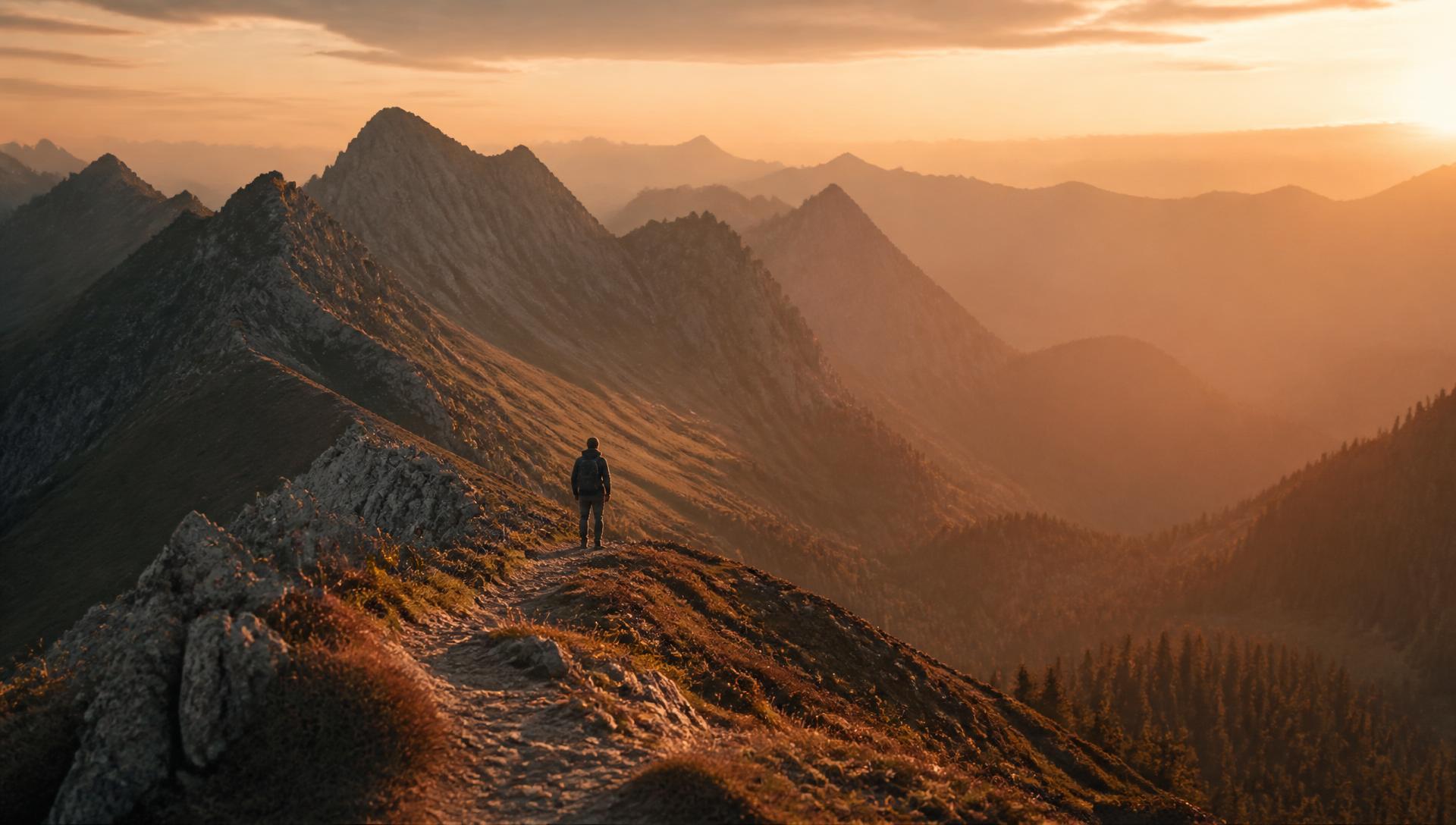
Kyperounta, Cyprus · July 2024
Madari Ridge Loop
A ridgeline traverse between fire lookouts with 360° views over the northern foothills.
Car-free access to the start
The walk after the bus
- Nearby bus stop in the snapshot
- Archiep. Makariou C´ Ave. - 10th Kyperounta
- Estimated access walk
- 2.23 km · ~28 min
- Walking-distance indicator
- Moderate
This is the connection to the hike's start, not the full hike. A nearby stop does not guarantee a bus at your chosen time.
Sources and missing information
- Access source
- Stored walking-route estimate and official bus-stop snapshot
- Hike recorded
- July 2024
- Transport story checked
- Not documented
- Access snapshot verification date
- Not documented
- Access-walk ascent
- Not documented
- Access terrain and road safety
- Not documented
- Access water availability
- Not documented
- Bus service frequency
- Not documented
Distance is not a safety rating. Check current buses, access, weather, daylight and water; remote or hazardous terrain may require turning back.
12.2 km
Distance
557 m
Elevation gain
Madari
Peak
One day
Duration
Ridge
Terrain
July 2024
Date
Moderate
Difficulty
Strong
Mobile signal
Overview
The story of this trail
Madari is the ridge that sits above Kyperounta like a long stone wall, and walking along its crest feels a bit like walking on the roof of the Pitsilia region. The official part of this loop is the Doxa soi o Theos – Madari Fire Lookout trail: it starts at the Doxa soi o Theos saddle, about 2 km from Kyperounta at roughly 1,338 m, and follows the ridge east for 3.8 km towards Adelfoi, which at 1,613 m is one of the highest points in this part of the Troodos.
The reason people come is the view. Between about 1,400 and 1,600 m there is almost nothing to block it, so on a clear day you look down over vineyard terraces and red-roofed villages on one side and out across the central plain towards Nicosia on the other. The fire lookout on the crest is still a working tower, keeping watch over the forest, and it doubles as the best landmark of the day. Along the way the official boards point out plants found only in Cyprus, such as golden oak, and you may see Cyprus warblers and wheatears, or a Bonelli's eagle overhead.
Officially the ridge section takes about two hours and is rated 3, the hardest grade on the Forestry Department scale, mostly because of the climbs and the loose stony ground near the top. My loop is longer: 12.2 km with 557 m of ascent, because it continues past the lookout, links into the neighbouring forest paths and comes back to the same saddle instead of retracing the ridge. There is a fountain with drinking water at the Doxa soi o Theos start, which is also where the loop ends.
Sources: Visit Cyprus — Doxa soi o Theos – Madari Fire Lookout · Cyprus Highlights (Forestry Department data)
The route
Milestones from start to finish
Madari Ridge Loop
Drag to move · scroll to zoom
Elevation & steepness
1040–1574 m
Distance
12.20 km
Elevation gain
557 m
Elevation loss
560 m
Highest point
1574 m
Lowest point
1040 m
Steepness by distance
Major climbs & descents
The most significant sustained climbs and descents along the route.
Major climbs
Major descents
Road type
How the route is classified across its full distance.
Weather at the trailhead
Loading the forecast…
Sun & shade through the day
Sun & shade mixShade category · from Monopatia.infoCurrent date and time: …
Working out the sun along the route…
From the trail
Moments from the walk
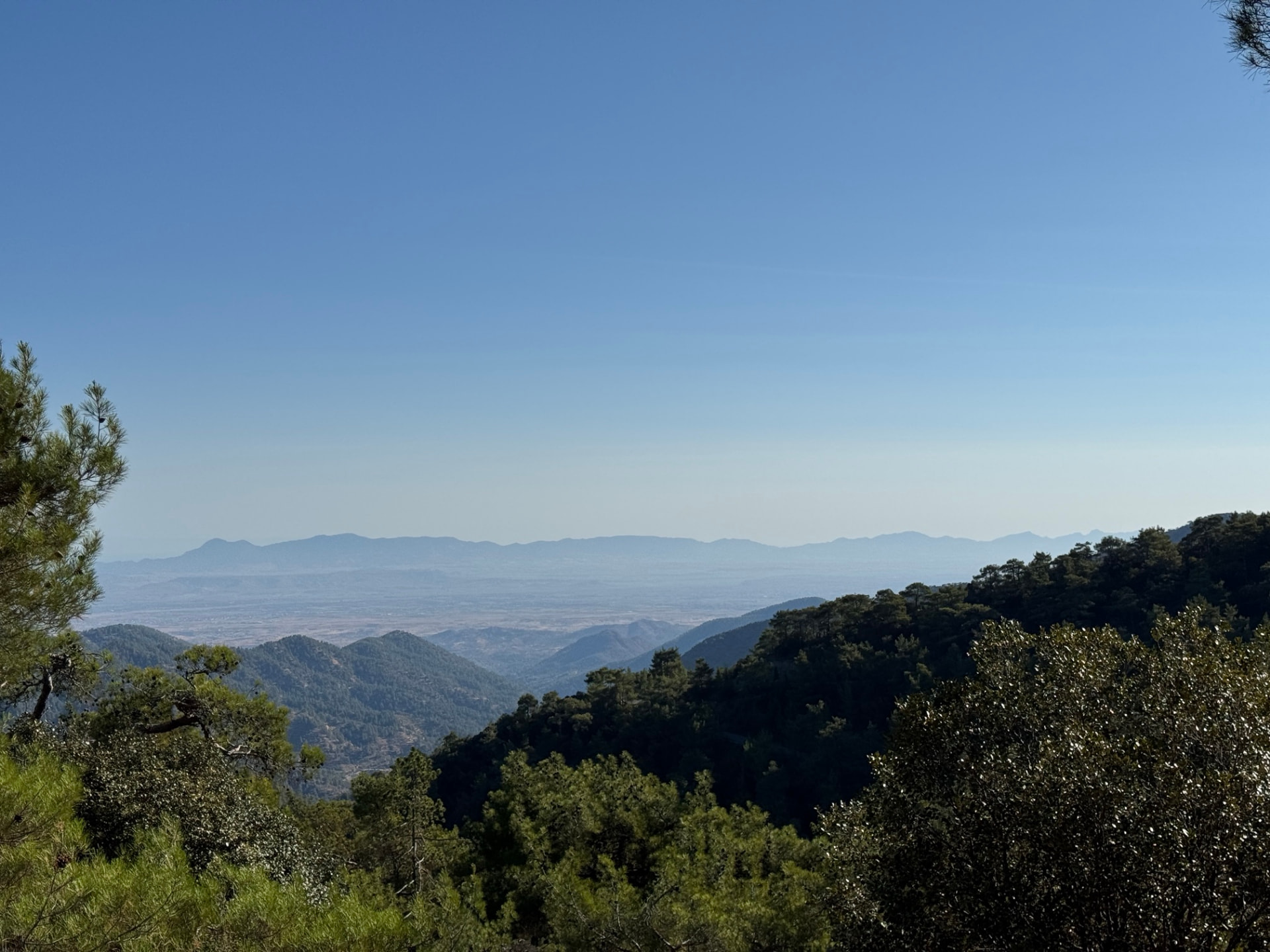
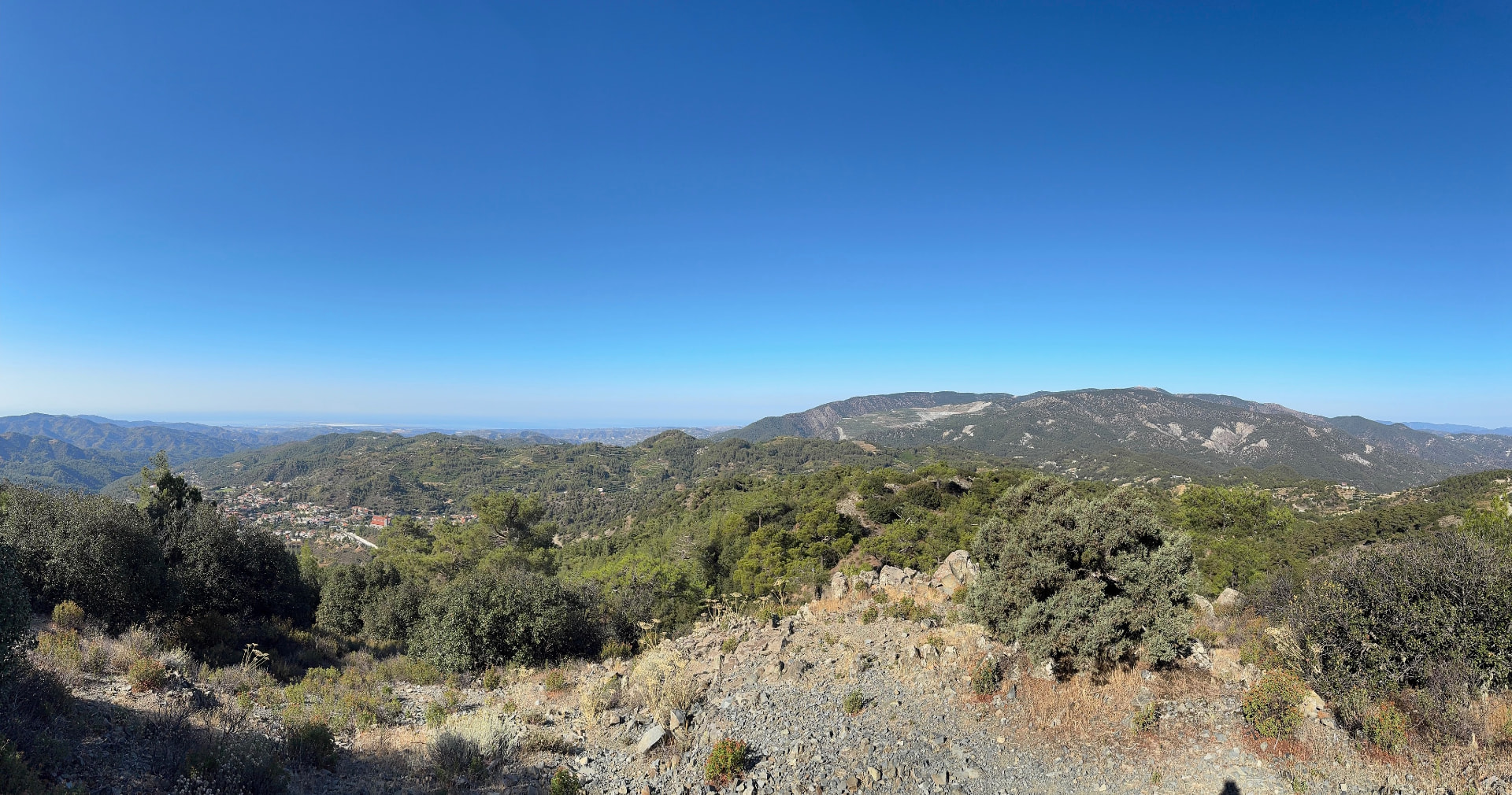
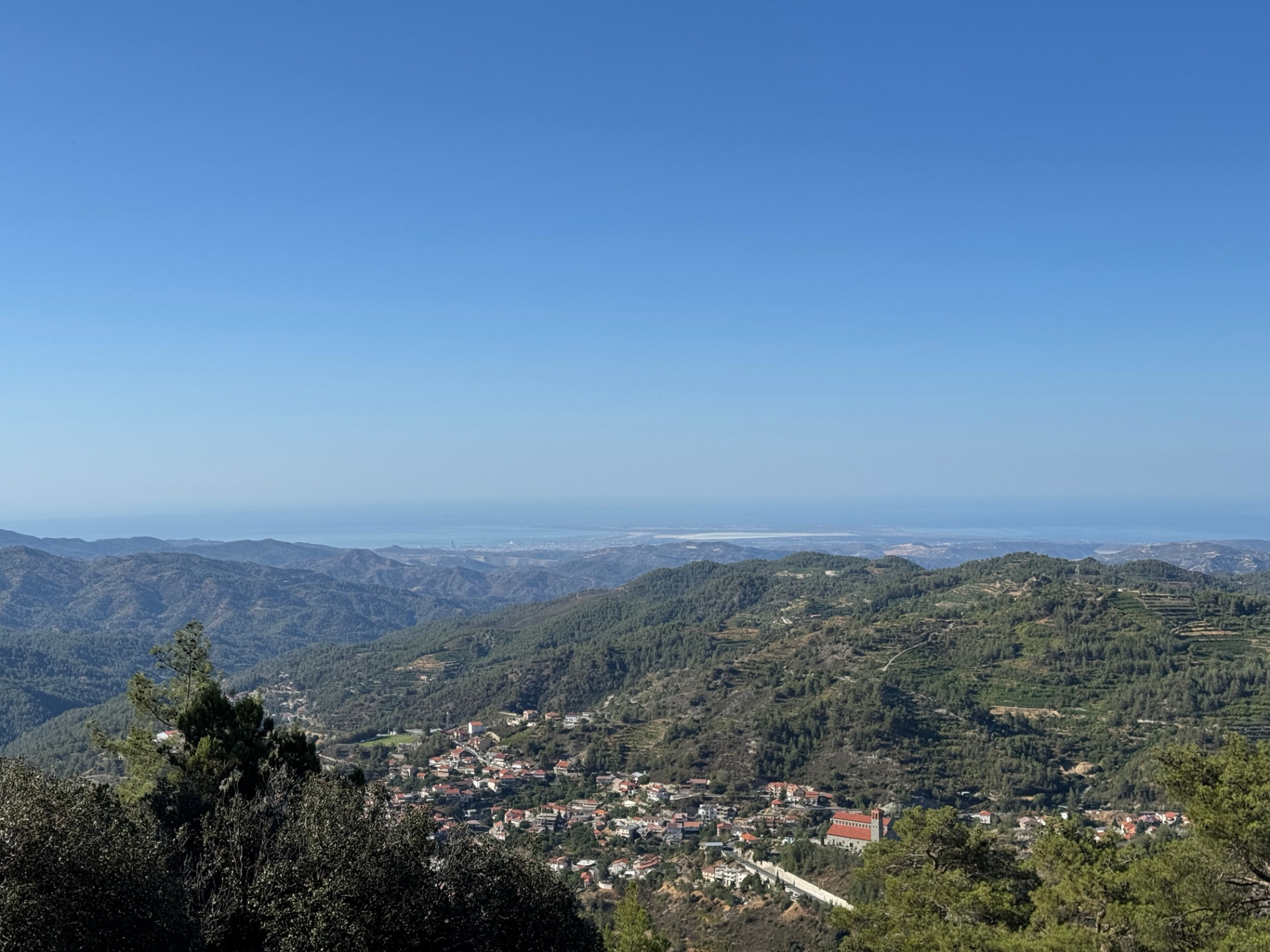
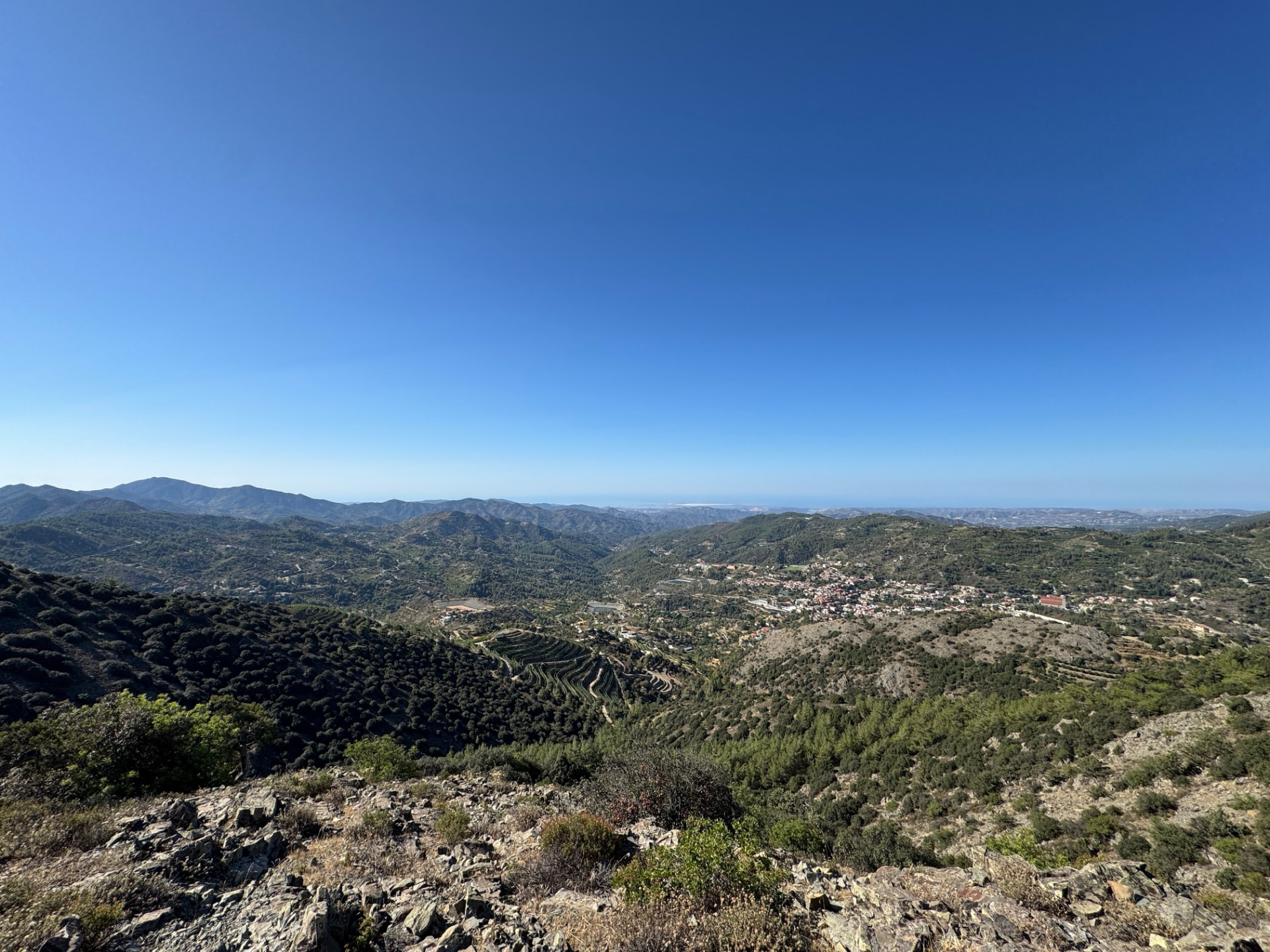
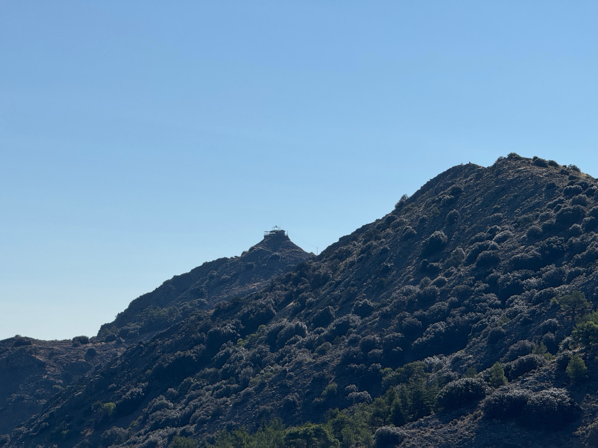
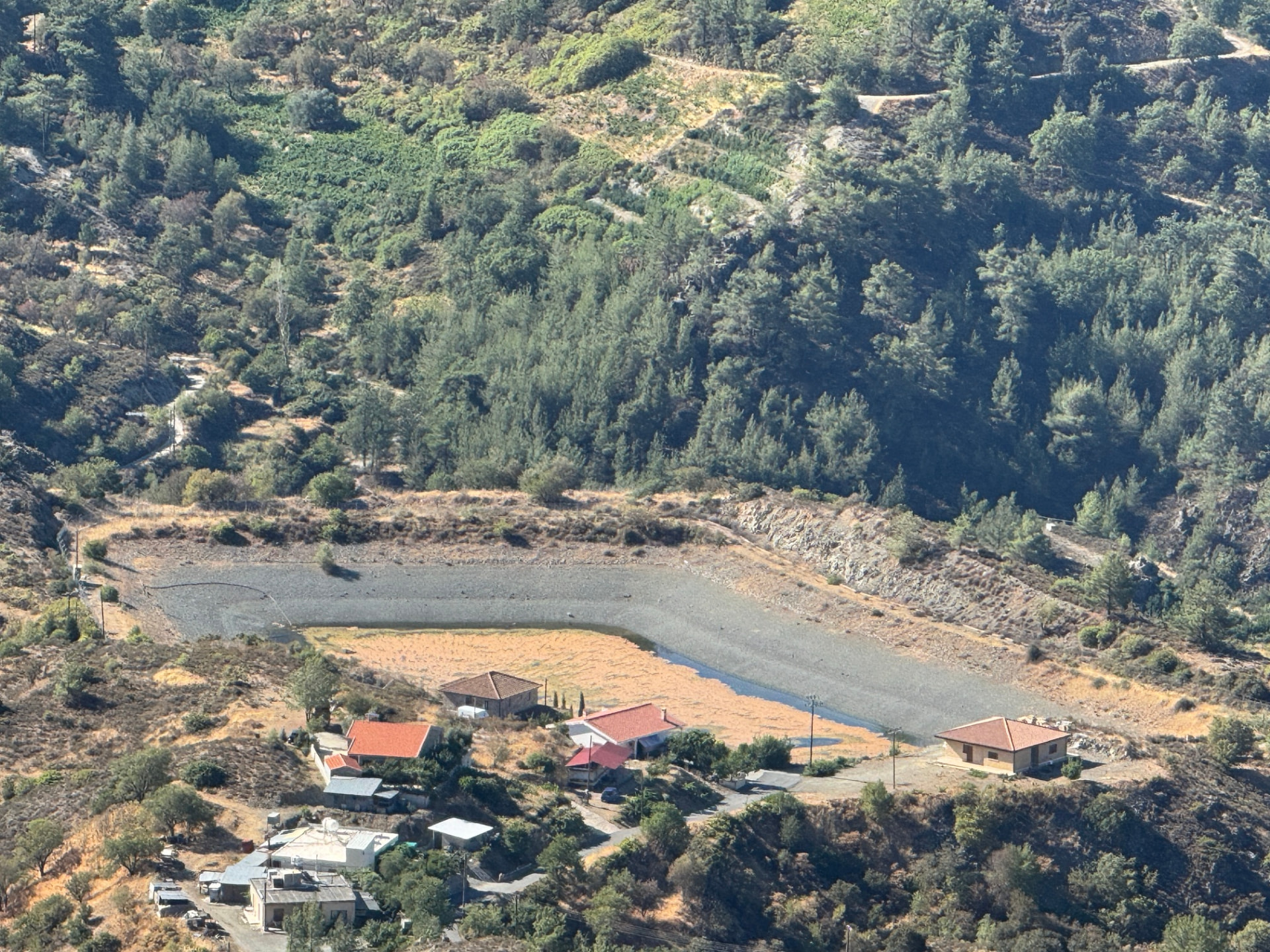
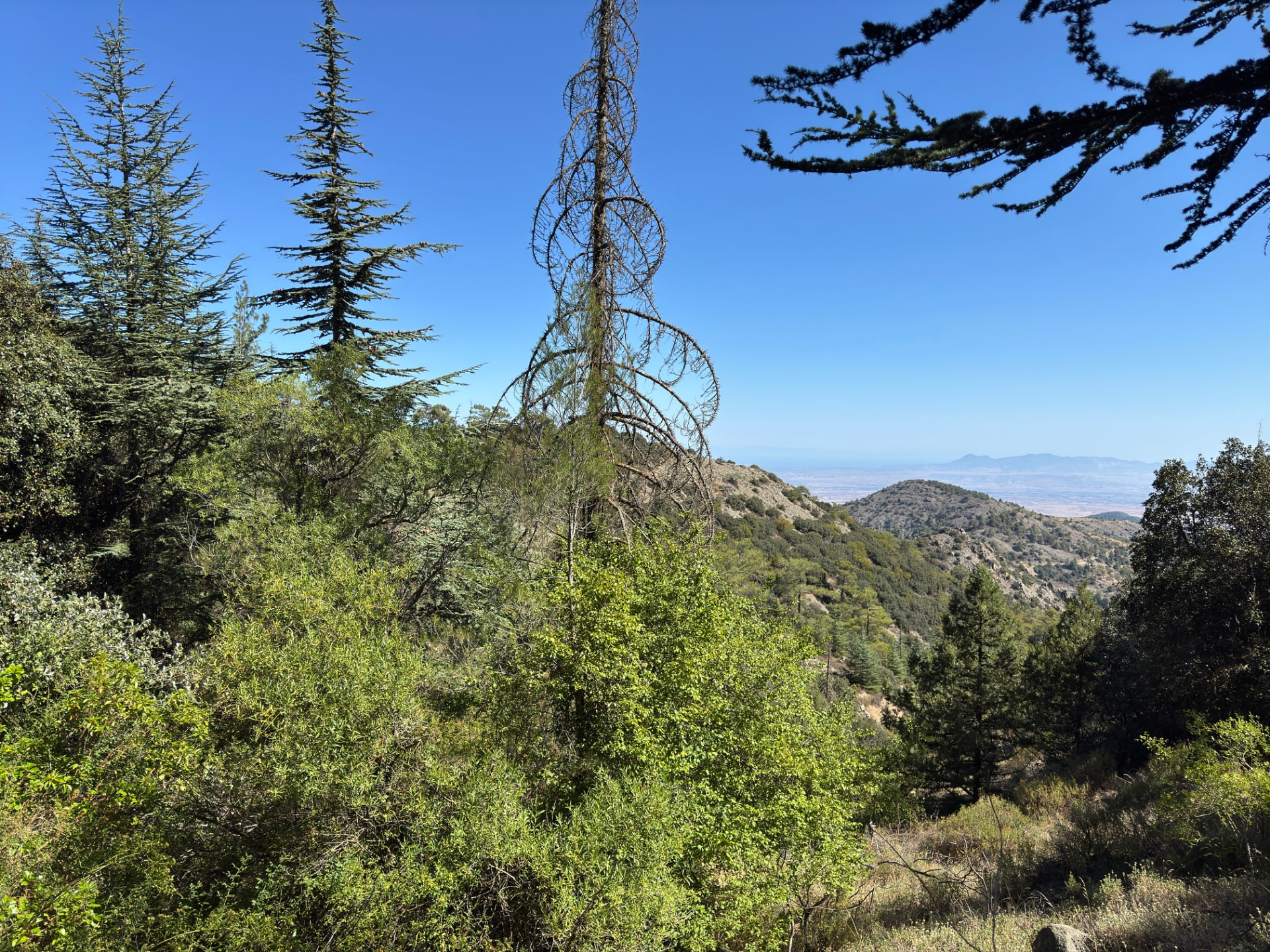
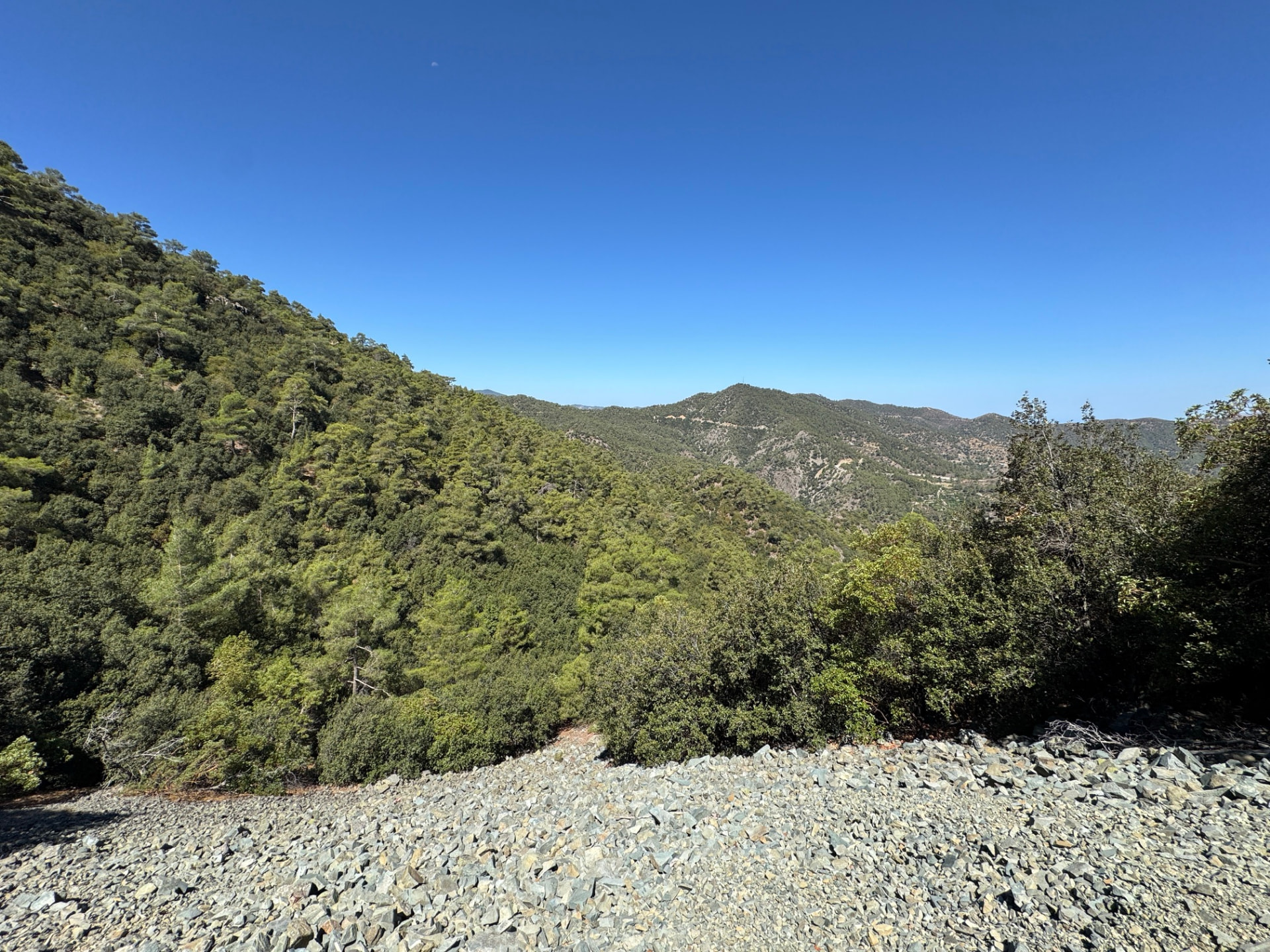
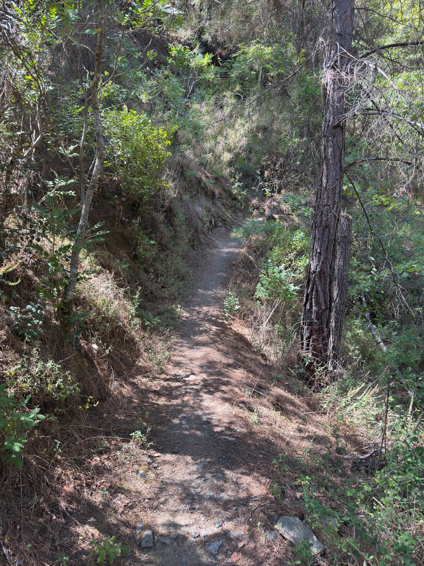
Drag sideways to see more photos
Trail notes
If you're planning to walk it
Access
No bus up the forest road. Take a bus to Kyperounta, then walk 2.2 km uphill to the trailhead — the day starts with about 160 m of climbing. It is a loop, so you walk the same 2.2 km back down at the end.
Read more
No bus comes up the forest road. The nearest stop is on the avenue through Kyperounta — Archiep. Makariou C´ Ave. - 10th Kyperounta, at 1,228 m — and this page measures the walk from that corner: 2.2 km, about half an hour, and not a warm-up, because the trailhead sits at 1,332 m, so the day begins with roughly 160 m of climbing before the ridge even starts. Coming in, you want a bus that arrives from Chandria: the 85 stops on the far side at 06:25, 07:54, 09:55, 11:20, 13:55 and 15:25 on weekdays, and at 06:11, 08:11, 10:01 and 14:11 at the weekend; the X400 from Nicosia is the other way in, arriving at the 11th at 09:12 on weekdays, 08:56 on Saturday and 08:47 on Sunday. Going home, the Chandria buses stop a few hundred metres further along at the 11th — the 85 at 16:26, 18:25, 19:39 and 20:34 on weekdays, but only 16:26 and 17:26 on Saturday and Sunday — and the X400 back to Nicosia passes at 17:21 on weekdays and Sunday and 17:22 on Saturday. The kind part is that this is a true loop: it comes back to the same spot on the crest, so the walk out is the same 2.2 km, mostly downhill, at the end of a 12.2 km day. What people forget is that nothing here runs straight down to Limassol: everything goes through Chandria, and the X400 is the link to Nicosia.
Best season
Hike in spring or autumn. Summer is hot and exposed, so start very early.
Read more
Spring and autumn are ideal — clear skies, mild temperatures and the ridge free of summer haze. Winter can bring cold wind and drifting cloud over the peaks; mid-summer is hot and exposed, so start very early if you walk then.
Navigation
The loop follows a clear, well-trodden ridge path to the fire lookout. Keep the ridgeline on your left on the way out and let it guide you back on the return. There are occasional cairns and painted markers, but a downloaded GPS track is useful when the cloud rolls in.
Water & food
Bring your own food. Water is available from a fountain at the trailhead (which is also the end of the loop) and again 1.4 km beyond Madari peak at the stone picnic area, roughly 5 km from the start.
Designated trail
This is an officially designated trail. For its official description, see Monopatia.info. The recorded route, bus access, walking gap and sun exposure on this page are by Hiking Against Distance.
Support this documentation
Keep car-free access information open to everyone.
Your support helps turn bus journeys and days on foot into freely available GPS records, photographs and access observations. Contributions help with field transport, food, water, equipment and publishing; the information remains free whether or not you contribute.
Buy me a coffee