Machairas, Cyprus · March 2026
Macheras Loop
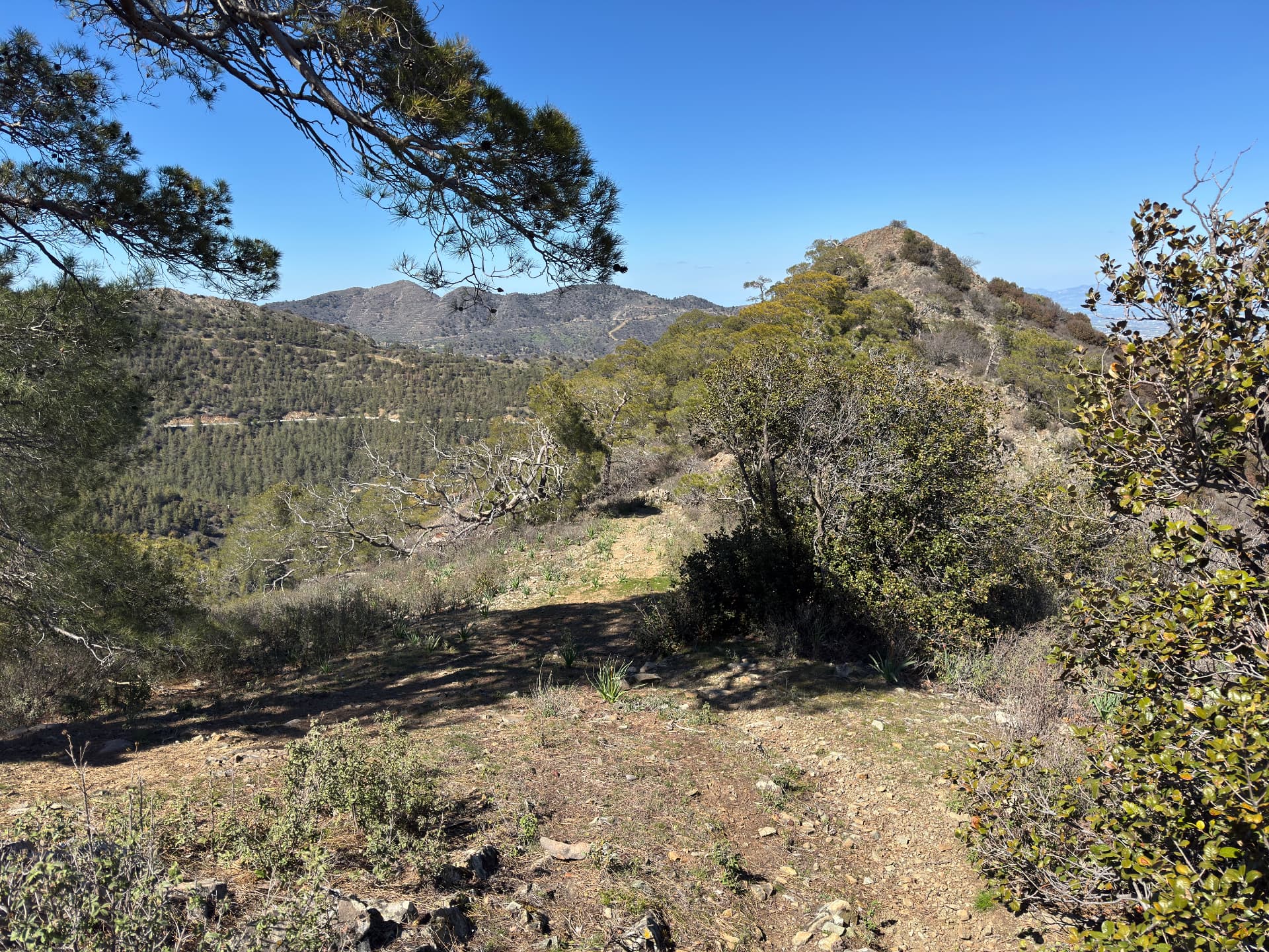
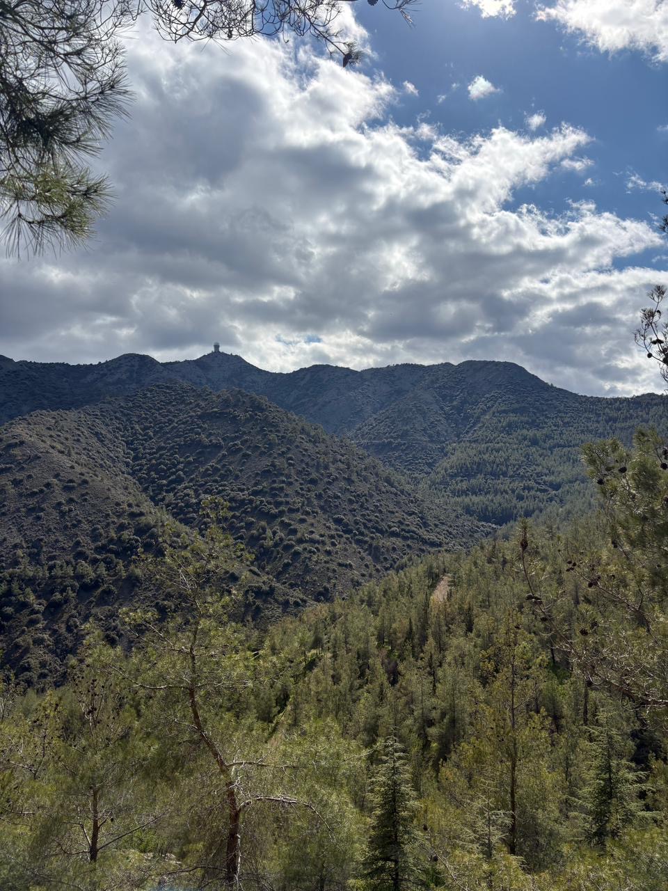
Spring wildflowers, juniper on the breeze, and a climb steep enough to remind me I'm still made of muscle and stubbornness.
Car-free access to the start
The walk after the bus
- Nearby bus stop in the snapshot
- Gourri
- Estimated access walk
- 8.40 km · ~121 min
- Walking-distance indicator
- Difficult
This is the connection to the hike's start, not the full hike. A nearby stop does not guarantee a bus at your chosen time.
Sources and missing information
- Access source
- Stored walking-route estimate and official bus-stop snapshot
- Hike recorded
- March 2026
- Transport story checked
- Not documented
- Access snapshot verification date
- Not documented
- Access-walk ascent
- Not documented
- Access terrain and road safety
- Not documented
- Access water availability
- Not documented
- Bus service frequency
- Not documented
Distance is not a safety rating. Check current buses, access, weather, daylight and water; remote or hazardous terrain may require turning back.
11.5 km
Distance
680 m
Elevation gain
Kionia
Peak
One day
Duration
Forest
Terrain
March 2026
Date
Moderate
Difficulty
Moderate
Mobile signal
Overview
The story of this trail
This was one of the hikes I co-organised with the university hiking club, and it was a challenging day for everyone in the group. We picked it on purpose: a proper mountain day with the climb to Kionia as its high point, stitched together from forest paths, ridge tracks and quiet roads. By March the clearings were full of wildflowers and the juniper was on the breeze — but 11.5 km with 680 m of climbing keeps nobody's legs bored.
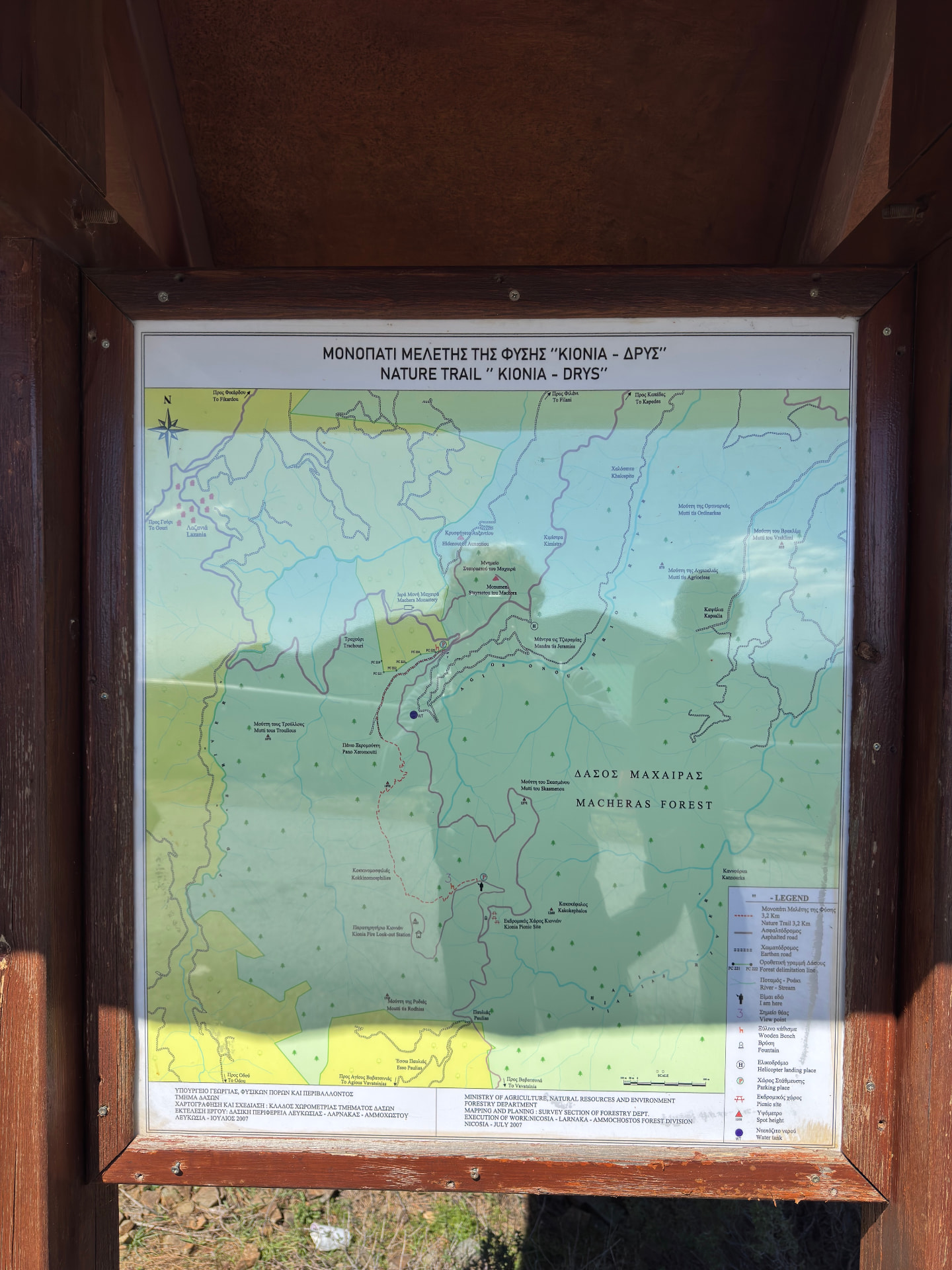
Part of the loop follows the Kionia–Drys nature trail, a 3.49 km path through the forest: our route joins it at 1.2 km and leaves it at 4.6 km. Later, from 6.2 km, the loop shares ground with a downhill mountain bike trail rated double black diamond — the hardest grade a bike trail can have. About 900 m of that trail passes through our route, and that tells you something about the ground: where mountain bikers earn their double black diamonds, walkers need to watch their feet too.
Walking with the club also changed the shape of the day. The route was demanding for all of us — different levels of fitness meeting the same climb — and that is exactly why we chose it. Everyone finished with the same view from Kionia, and the steep parts became the shared story we told on the way back.
The route
Milestones from start to finish
ESA WorldCover 2021 · not current shade
Macheras Loop
Drag to move · scroll to zoom
Elevation & steepness
796–1344 m
Distance
11.4 km
Elevation gain
617 m
Elevation loss
617 m
Highest point
1344 m
Lowest point
796 m
Steepness by distance
Major climbs & descents
The most significant sustained climbs and descents along the route.
Major climbs
Major descents
Road type
How the route is classified across its full distance.
Weather at the trailhead
Loading the forecast…
Sun & shade through the day
Mostly shadyShade category · from mapped tree cover along the routeCurrent date and time: …
Working out the sun along the route…
From the trail
Moments from the walk
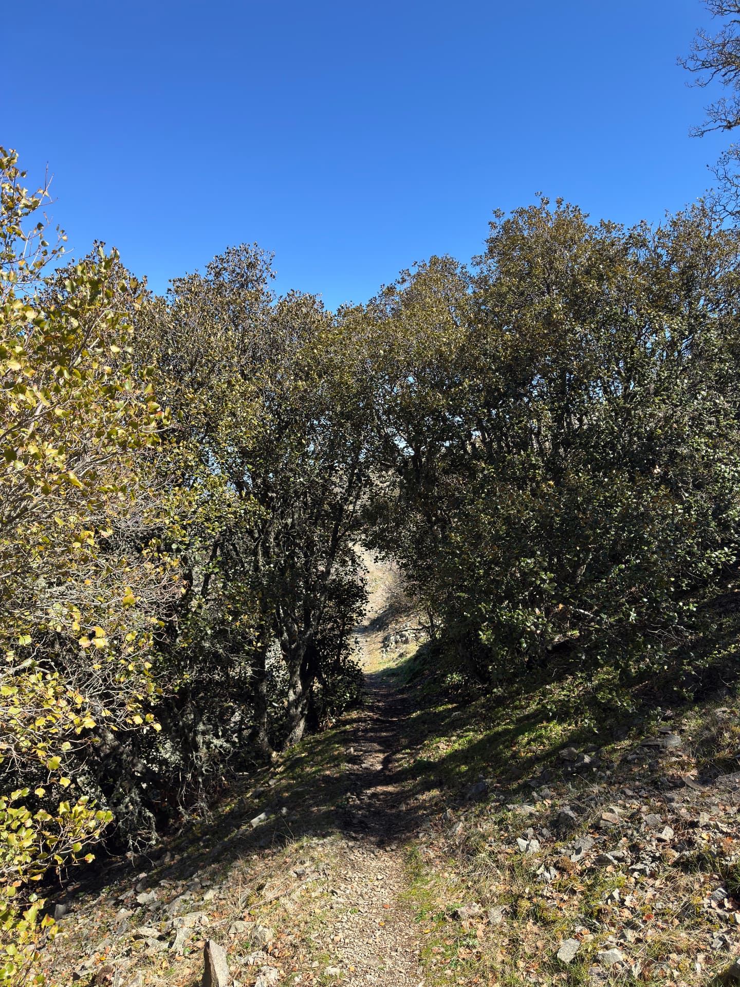
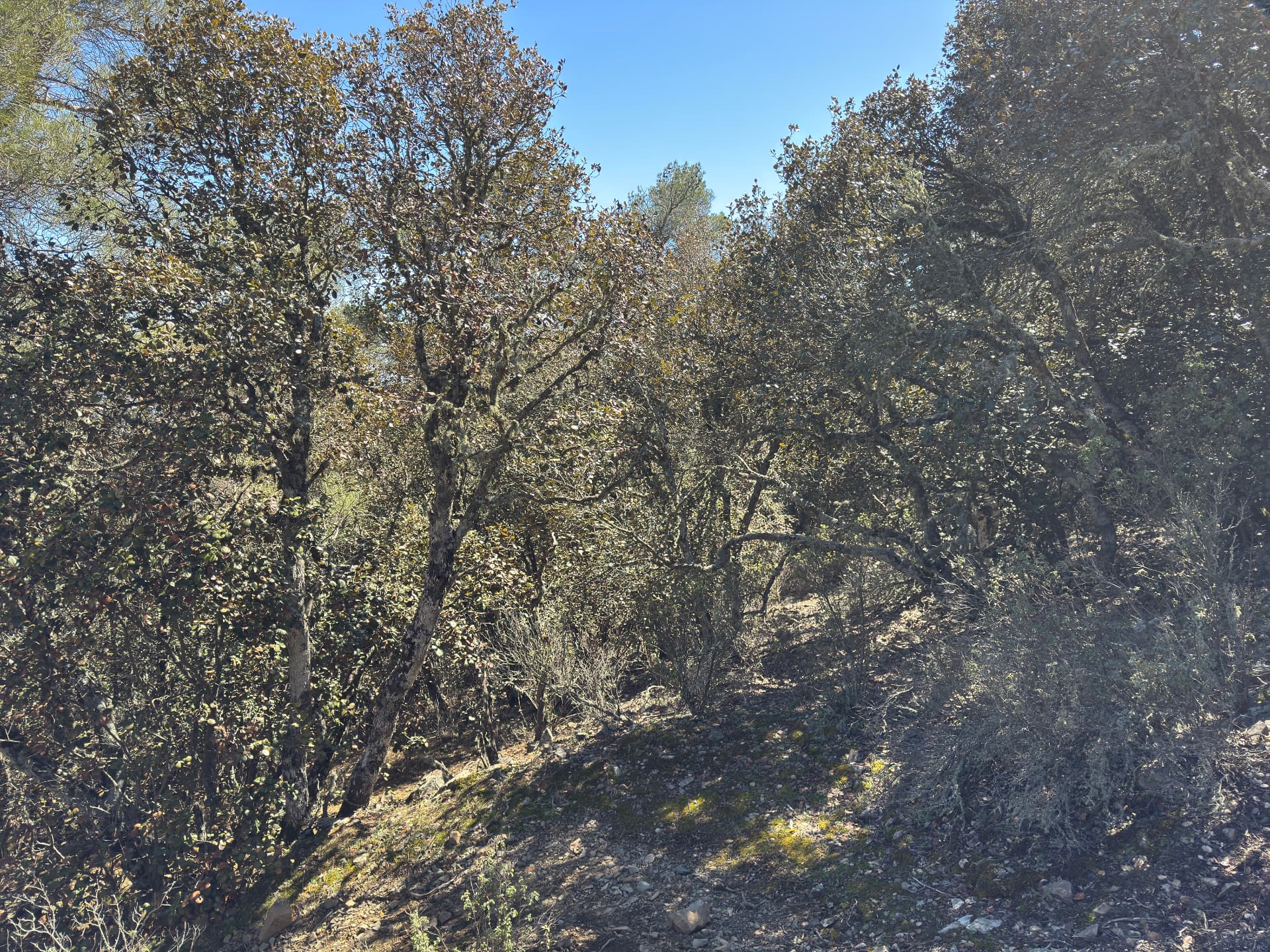
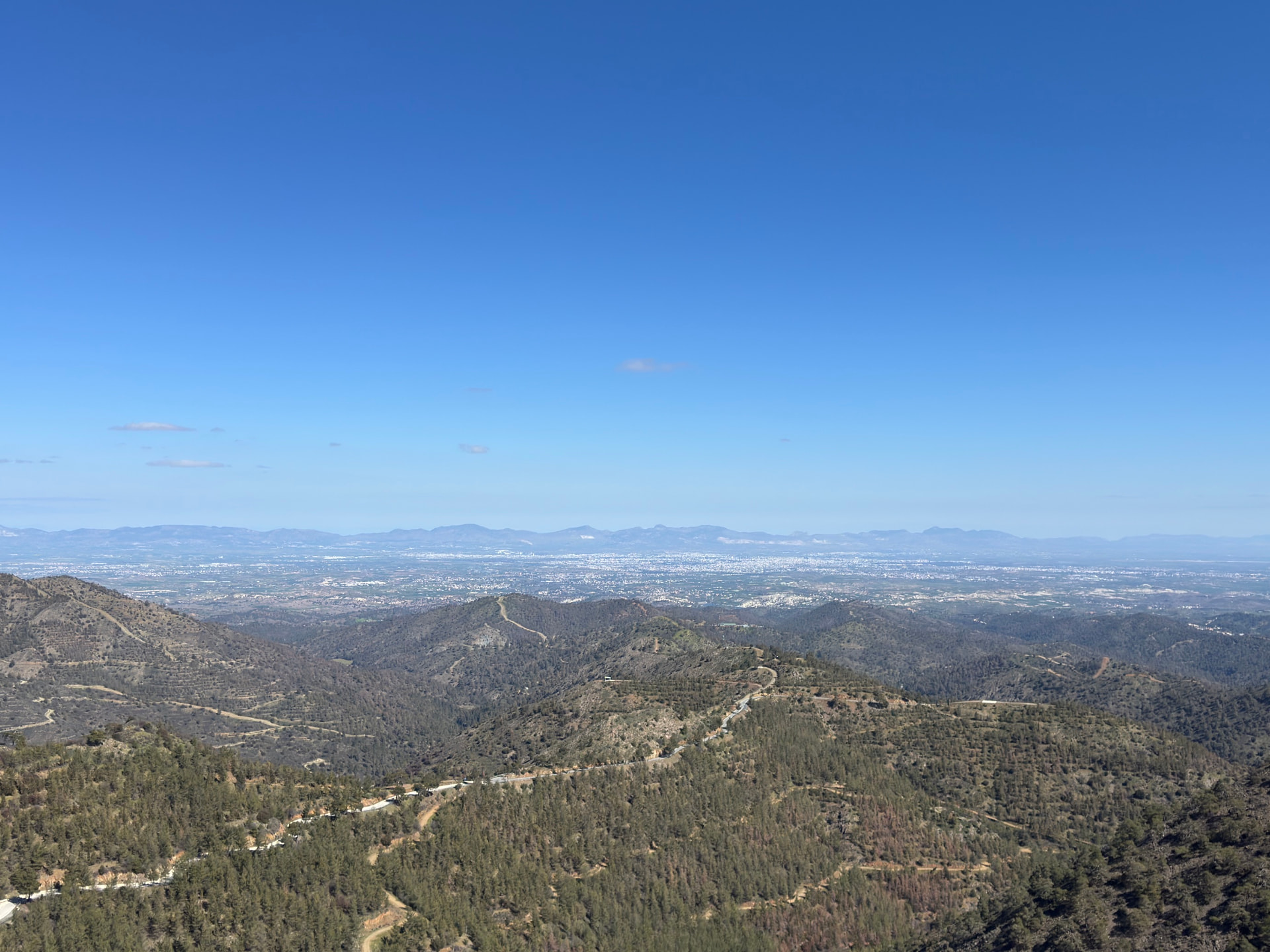
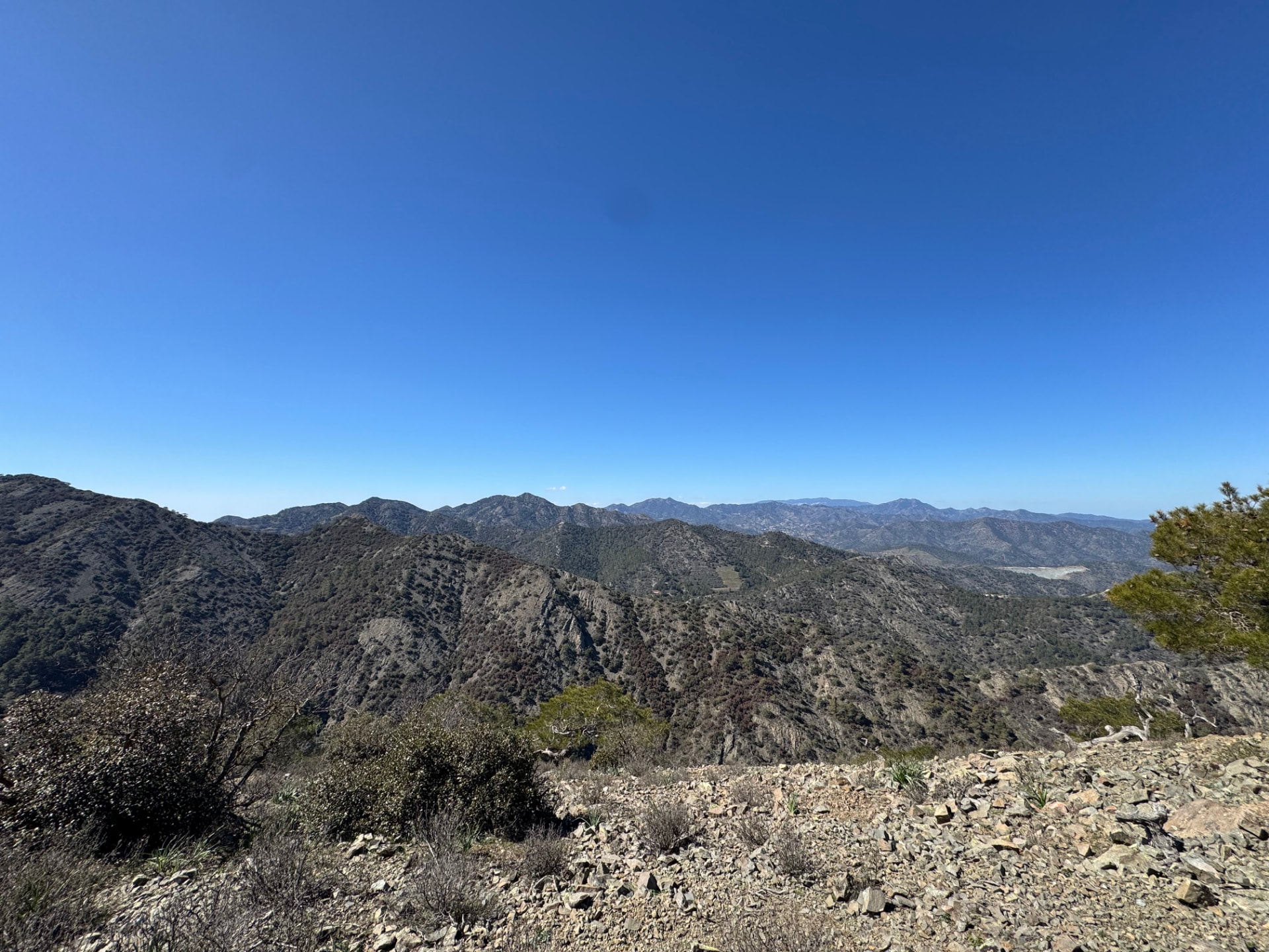
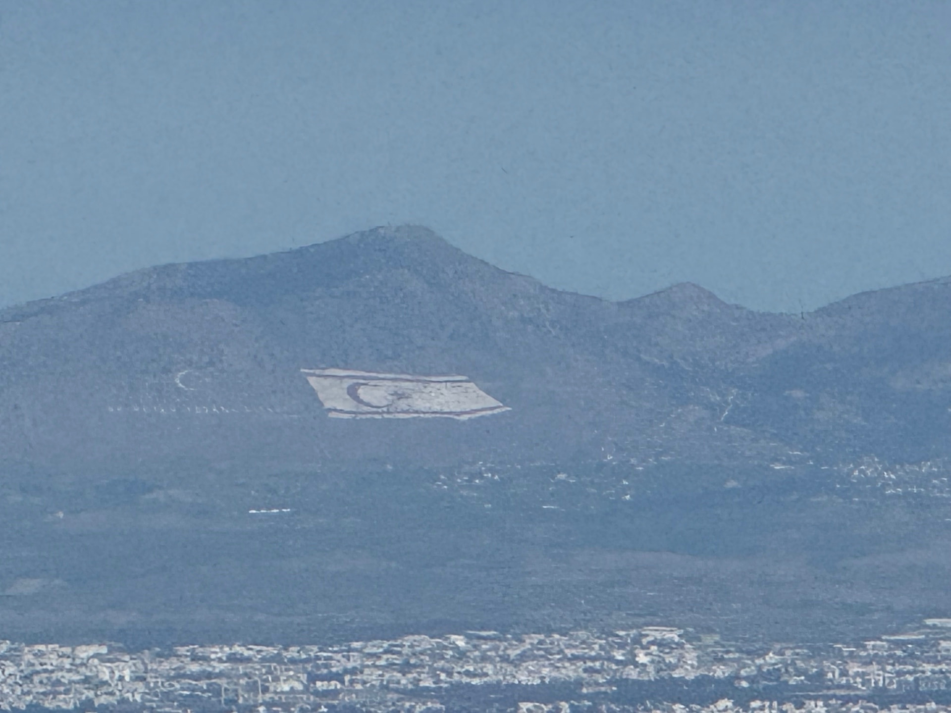
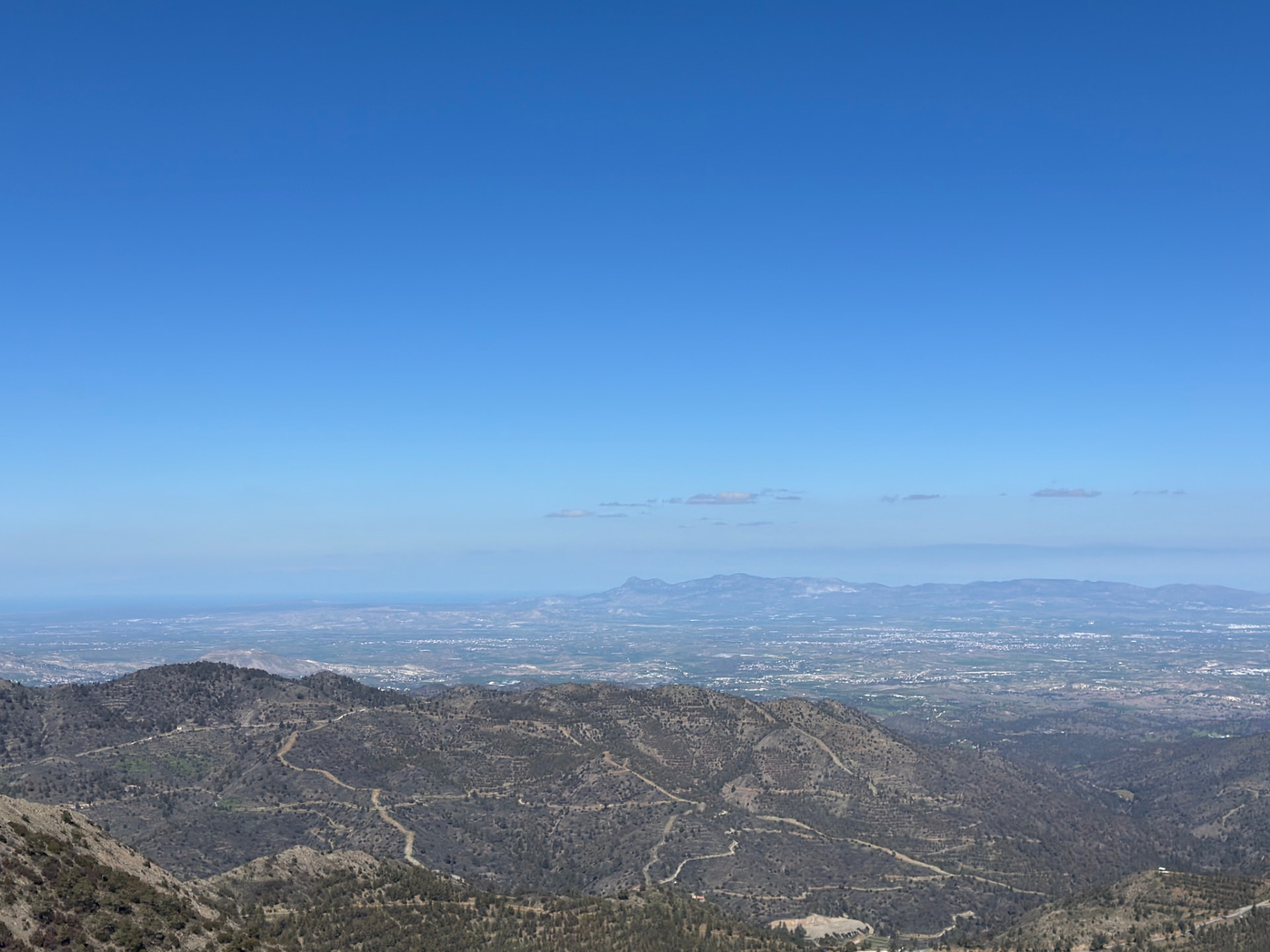
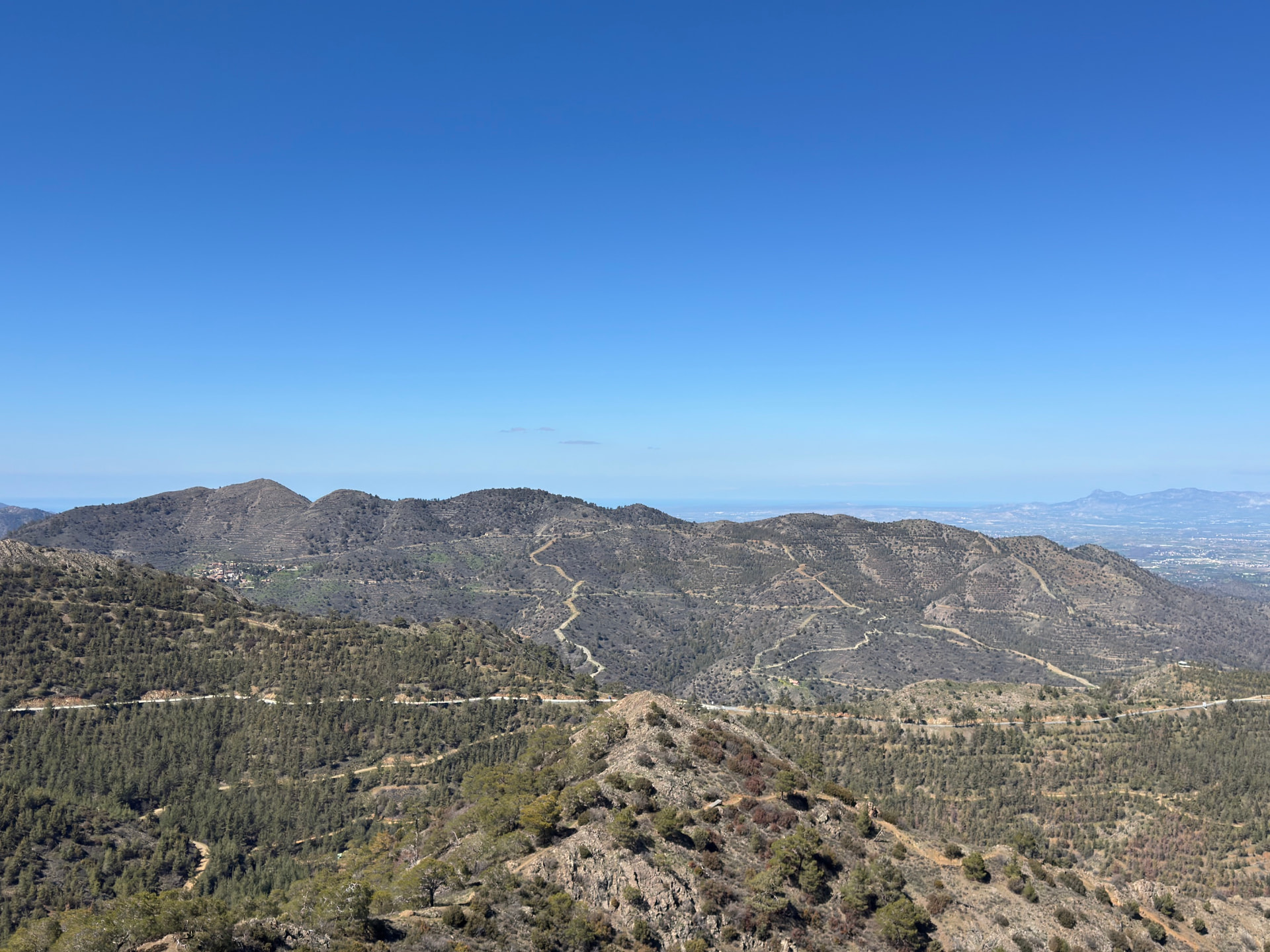
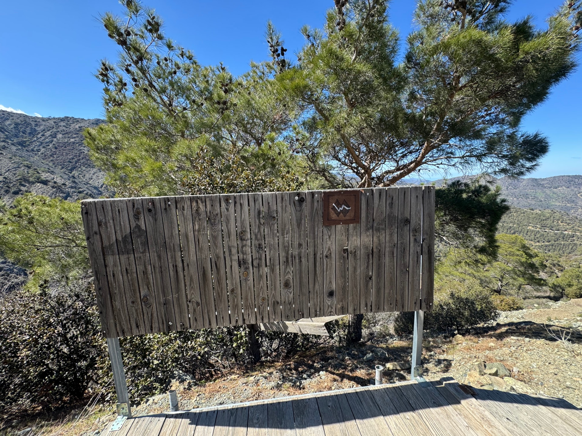
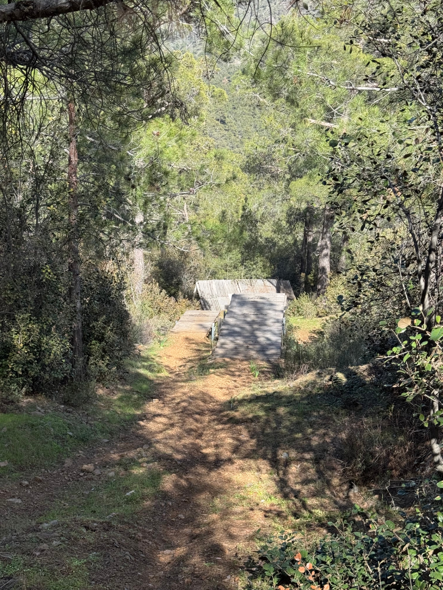
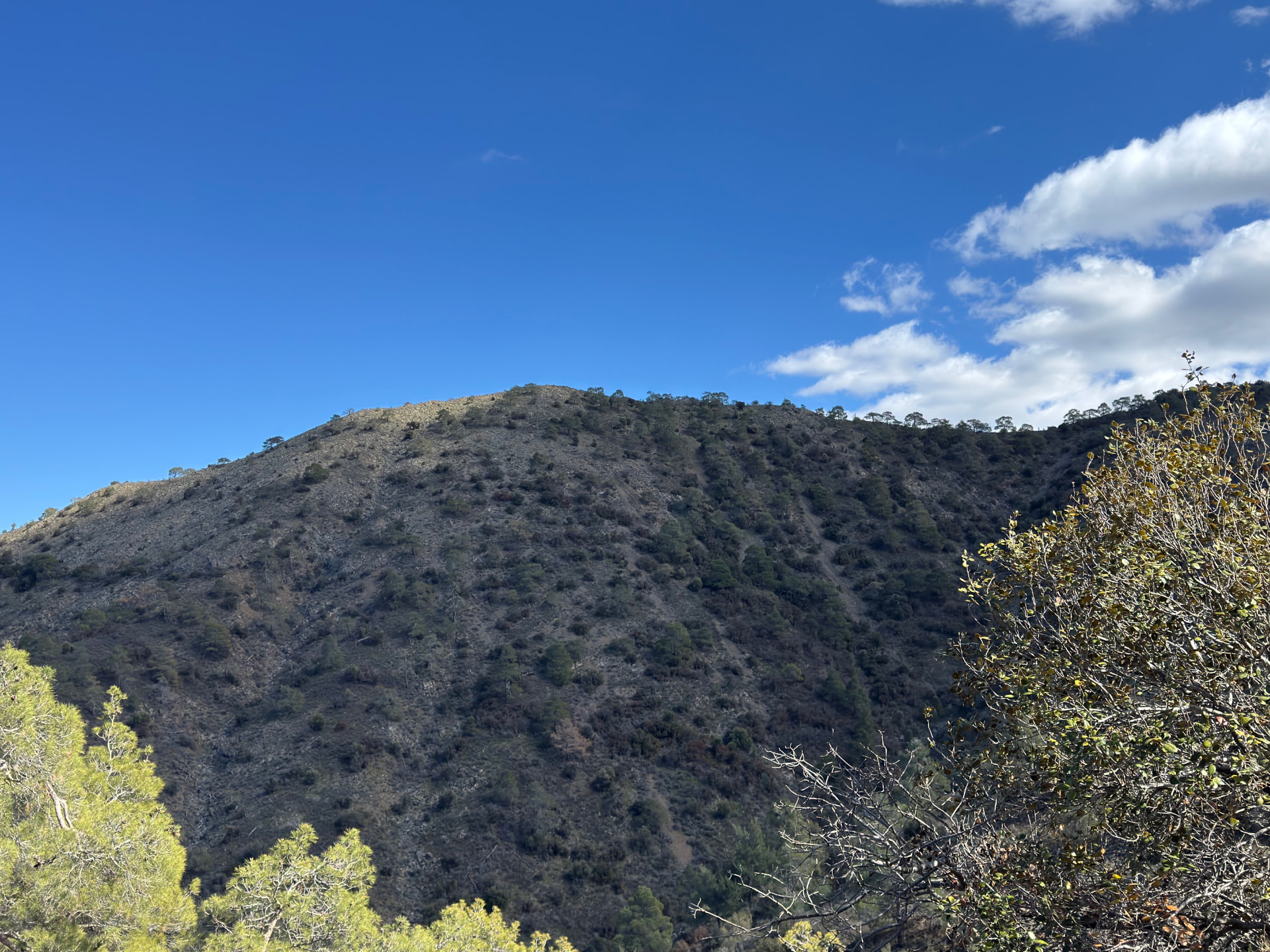
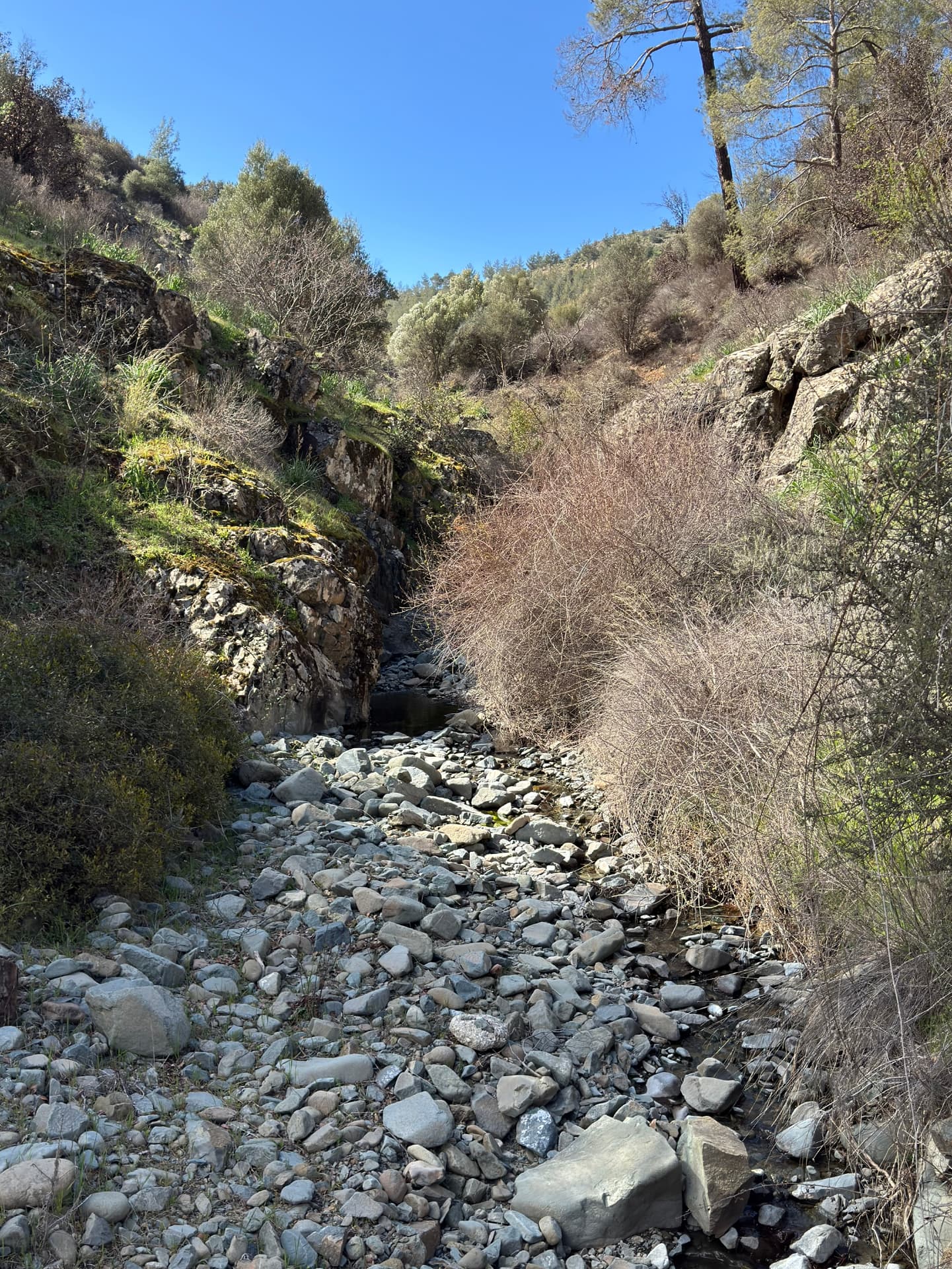
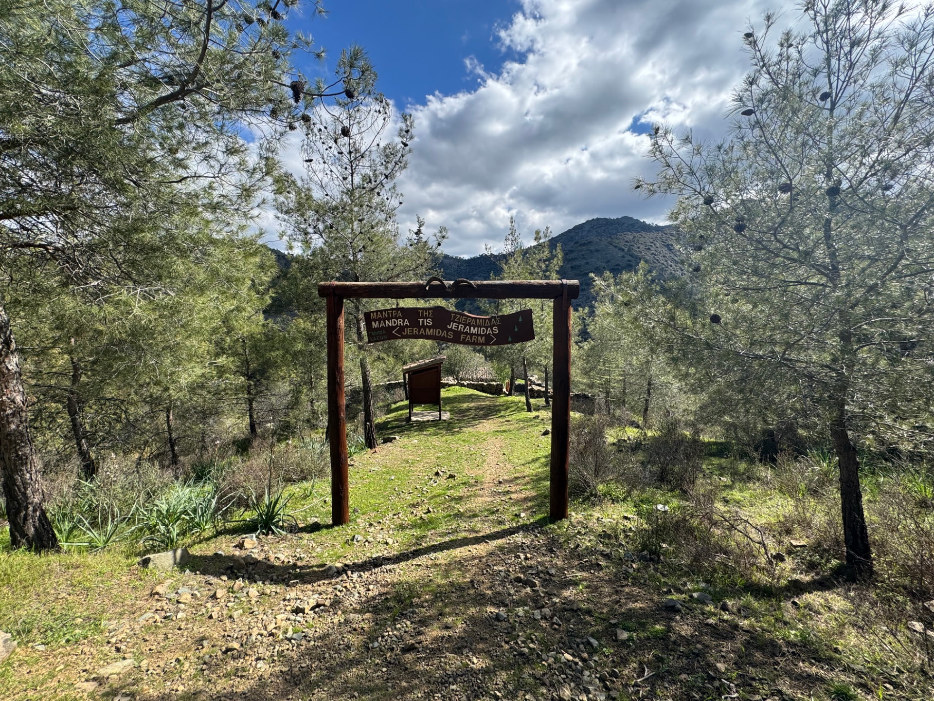
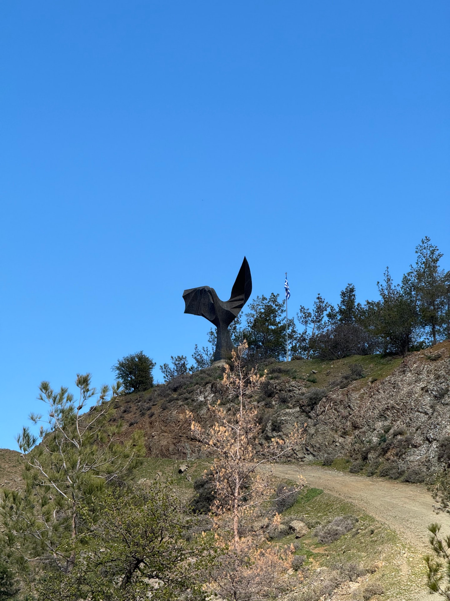
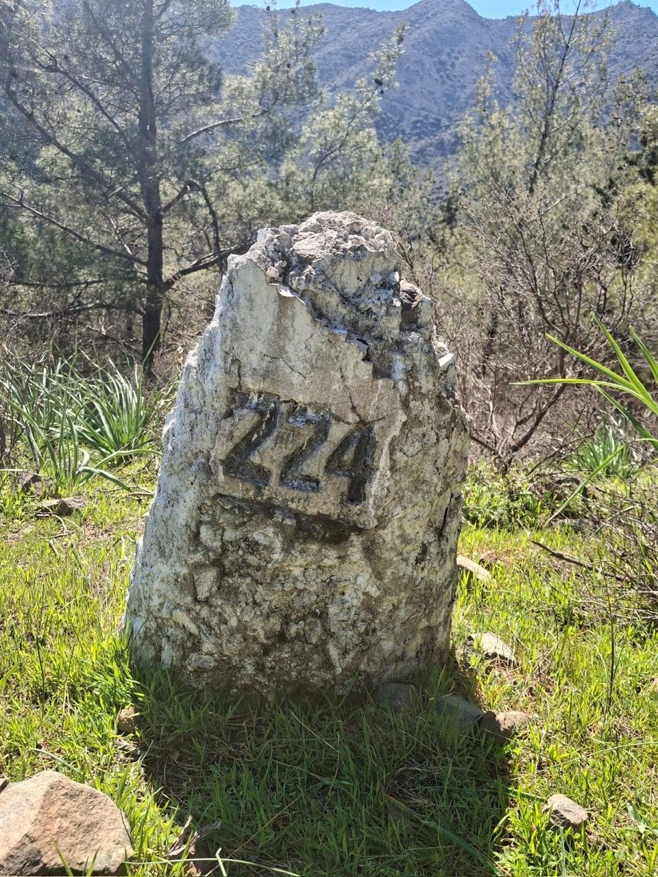
Drag sideways to see more photos
Trail notes
If you're planning to walk it
Access
No bus to the trailhead. The nearest stop is in Gourri, and it is an 8.4 km walk each way — about two hours. Plan this for a weekday; Sunday's buses do not leave enough time.
Read more
There is no bus to the trailhead. The nearest stop is Gourri, and the walk between the two is 8.4 km each way — about two hours on the routing this site uses. It is not a warm-up: the trailhead sits at 872 m and the stop at 724 m, but the way does not simply run downhill — measured along the route, the walk in climbs about 520 m and drops 360 m, and the walk out is the same in reverse. Bus 65 runs between Tamasos Bus Station in Limassol and Gourri, and the ride is under 20 minutes: from Monday to Thursday it reaches Gourri at 04:57, 07:12, 09:03, 12:58, 14:58, 17:12, 17:34 and 19:04, and the last one back to Limassol leaves Gourri at 19:33. Saturday gives you the 08:53 in and the 17:43 out; Sunday gives you only the 08:49 in and the 16:38 out, which, with two hours of walking at each end, does not fit the hike at all — so plan this for a weekday. Buses 62, 63 and 64 also pass through Apliki a few kilometres west, but this site measures the access walk only from Gourri, so I can't honestly tell you what that approach would cost in footsteps.
Best season
Hike in spring, especially March. Summer is fine if you start early in the forest.
Read more
I walked it in March, and that is the season this loop was made for: wildflowers in the clearings, juniper off the pines, and ground dry enough to hold a pace. The route runs between 872 m and about 1,344 m, so it stays cool long after the coast has baked, and roughly half of it lies under mapped woodland — in midsummer the forest is the most comfortable walking in Cyprus, provided you start before the heat and carry water, because the 8.4 km walk in from Gourri has little shade and you do it twice. Autumn is the quiet second choice: warm days, fewer insects, and the track still dry into November. Winter is the honest no — cold, wet, and the high ground can hold frost or snow long after the valleys have dried, while the mud under the pines takes days to pass. Whatever month you come, the timetable matters more than the forecast. On a weekday the 07:12 into Gourri and the 19:33 out give you twelve hours. On Saturday the 08:53 and the 17:43 give you barely eight and a half — enough for the hike, not for the walking on either side of it. And Sunday's single window, 08:49 in and 16:38 out, does not fit.
Navigation
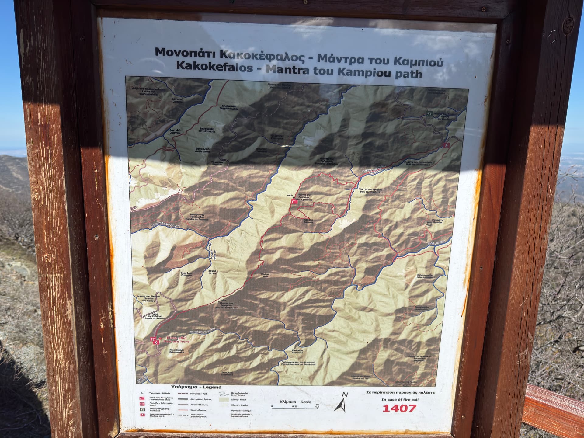
Part of this loop is designated: where it crosses the Kionia–Drys nature trail, the path is marked and has information boards at its ends, and other boards along the way — like the Kakokefalos panel — help you place yourself in the wider forest network. Between the designated sections the route follows dirt roads and ridge tracks. They are easy walking but easy to miss turning off, so a downloaded GPS track is worth carrying. The long approach from Gourri follows roads and tracks, so navigation there is simple — the real decisions start where the trail leaves the road.
Water & food
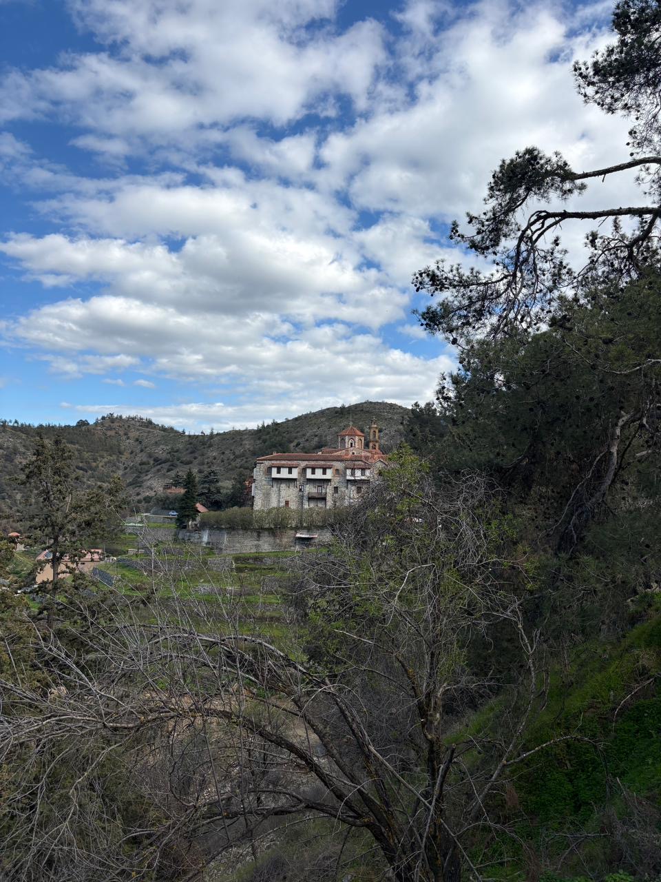
Bring your own food — there is nowhere to buy anything along the route. Water comes from two fountains: one at the start of the loop at Macheras monastery, and another at the Kionia picnic site, which sits about 450 m off the trail. Those are the only refill points I know of on this walk, so carry enough from the start for the full loop and the 8.4 km walk back to the bus at Gourri, in case one of the fountains is not running.
Partly designated route
This route only partly follows officially designated paths. For their official descriptions, see Monopatia.info. The recorded route, bus access, walking gap and sun exposure on this page are by Hiking Against Distance.
Support this documentation
Keep car-free access information open to everyone.
Your support helps turn bus journeys and days on foot into freely available GPS records, photographs and access observations. Contributions help with field transport, food, water, equipment and publishing; the information remains free whether or not you contribute.
Buy me a coffee