Larnaca → Ayia Napa, Cyprus · June 2026
Larnaca Airport to Ayia Napa Hike
Fifty kilometres from runway lights to resort neon — a whole day of blistered feet, sea breeze and quiet pride.
Car-free access to the start
The walk after the bus
- Nearby bus stop in the snapshot
- Larnaka Airport
- Estimated access walk
- 0.12 km · ~2 min
- Walking-distance indicator
- Easy
This is the connection to the hike's start, not the full hike. A nearby stop does not guarantee a bus at your chosen time.
Sources and missing information
- Access source
- Stored walking-route estimate and official bus-stop snapshot
- Hike recorded
- June 2026
- Transport story checked
- Not documented
- Access snapshot verification date
- Not documented
- Access-walk ascent
- Not documented
- Access terrain and road safety
- Not documented
- Access water availability
- Not documented
- Bus service frequency
- Not documented
Distance is not a safety rating. Check current buses, access, weather, daylight and water; remote or hazardous terrain may require turning back.
50 km
Distance
155 m
Elevation gain
—
Peak
One day
Duration
Coastal
Terrain
June 2026
Date
Extreme
Difficulty
Very strong
Mobile signal
Overview
The story of this trail
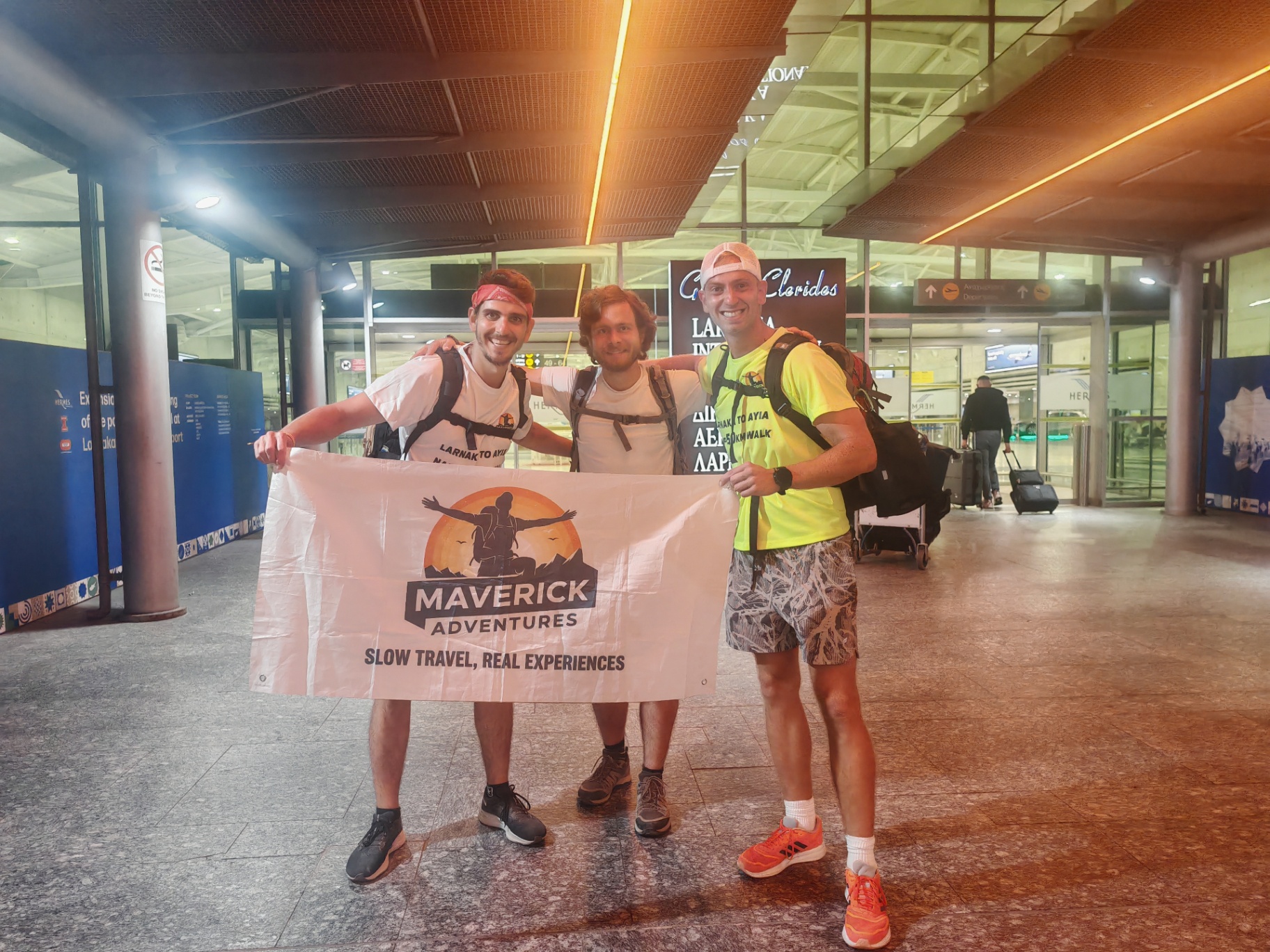
I agreed to join Nenad and Alex because it is rare to meet people who are willing to walk a truly long distance. When the chance came to walk from Larnaca Airport to Ayia Napa together, I wanted to take it. I also wanted to support what they were doing through Maverick Adventures: promoting mental health, physical resilience and the spirit of slow travel. Our philosophies are different, but that did not stop us getting along. We did not need to agree on everything to share the road.
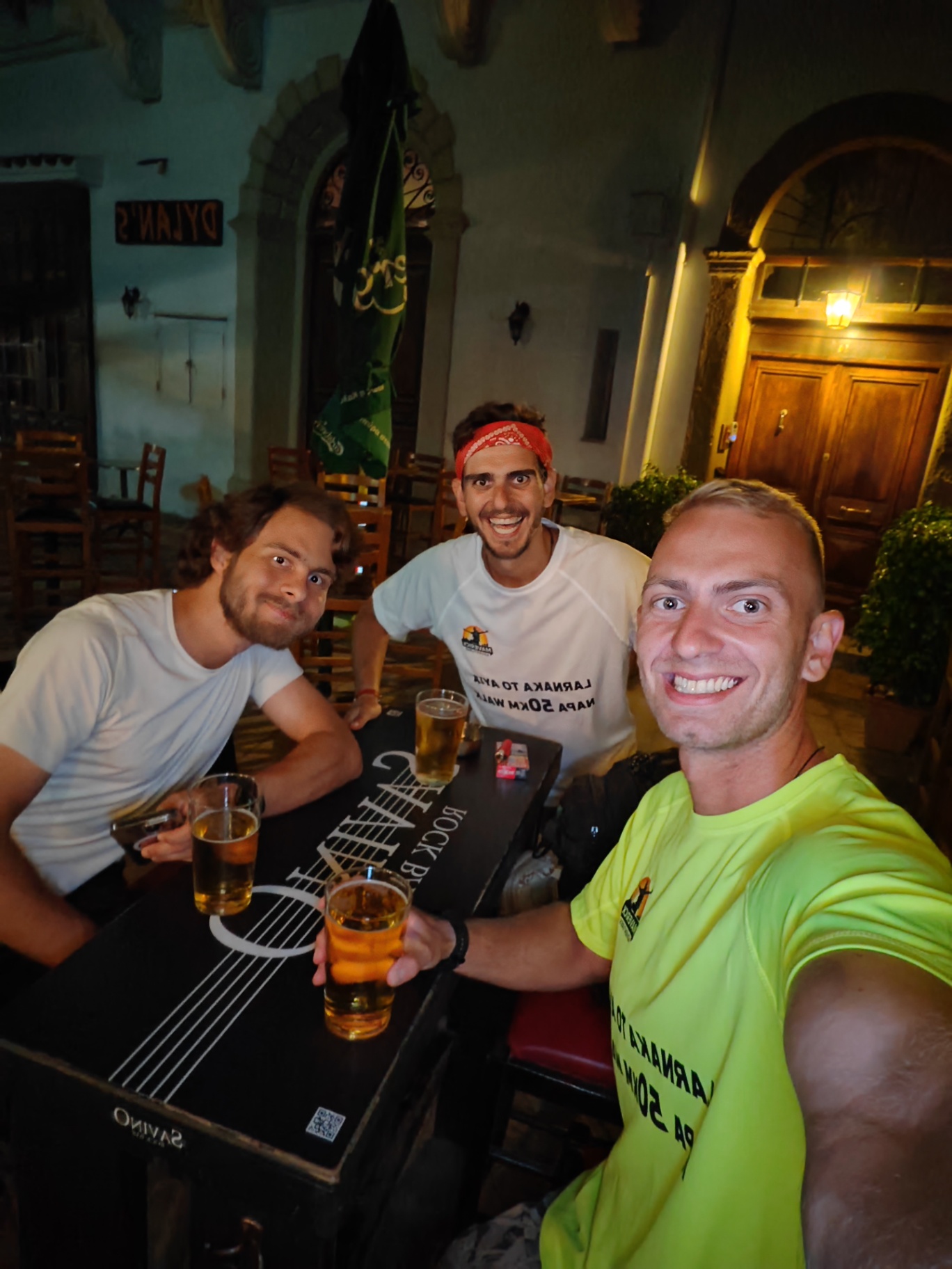
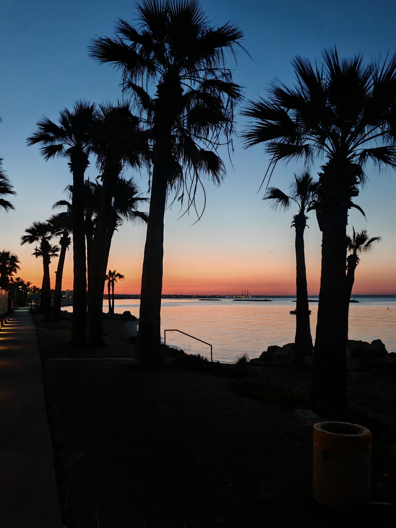
We met at the airport in the early hours of 7 June 2026, after their flights, and set off at around 1am. Fifty kilometres lay ahead of us. At first there was the quiet awkwardness of people who had only just met, but walking gave us time to settle into one another's company. In Larnaca we stopped at Savino's Rock Bar, where the welcome became part of the journey. Then the beachfront carried us towards dawn: palms, the sound of the sea, and a sunrise that made the night start feel worth it.
The route took us through Dhekelia and along John's Way, then on to Ormideia and Xylofagou as the day grew hotter. We took breaks and checked how each of us was doing; resilience did not mean pretending we were not tired. In Xylofagou I could share a little local knowledge: the giant potato monument was not something they had expected to find on a long walk. There was room for laughter, photographs and ice cream in the shade. Those small stops were slow travel to me — not just passing through places, but letting them become part of the day.
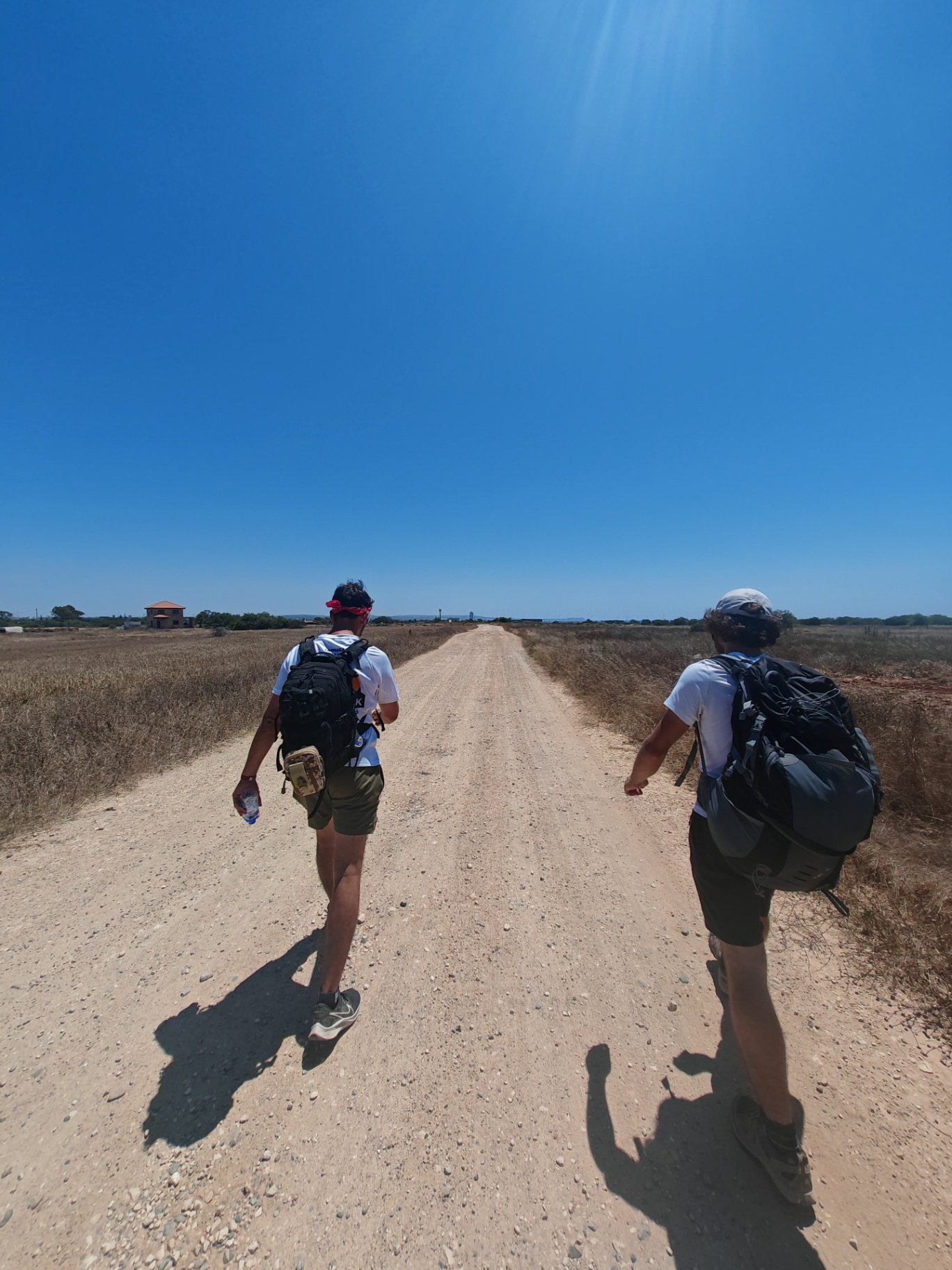
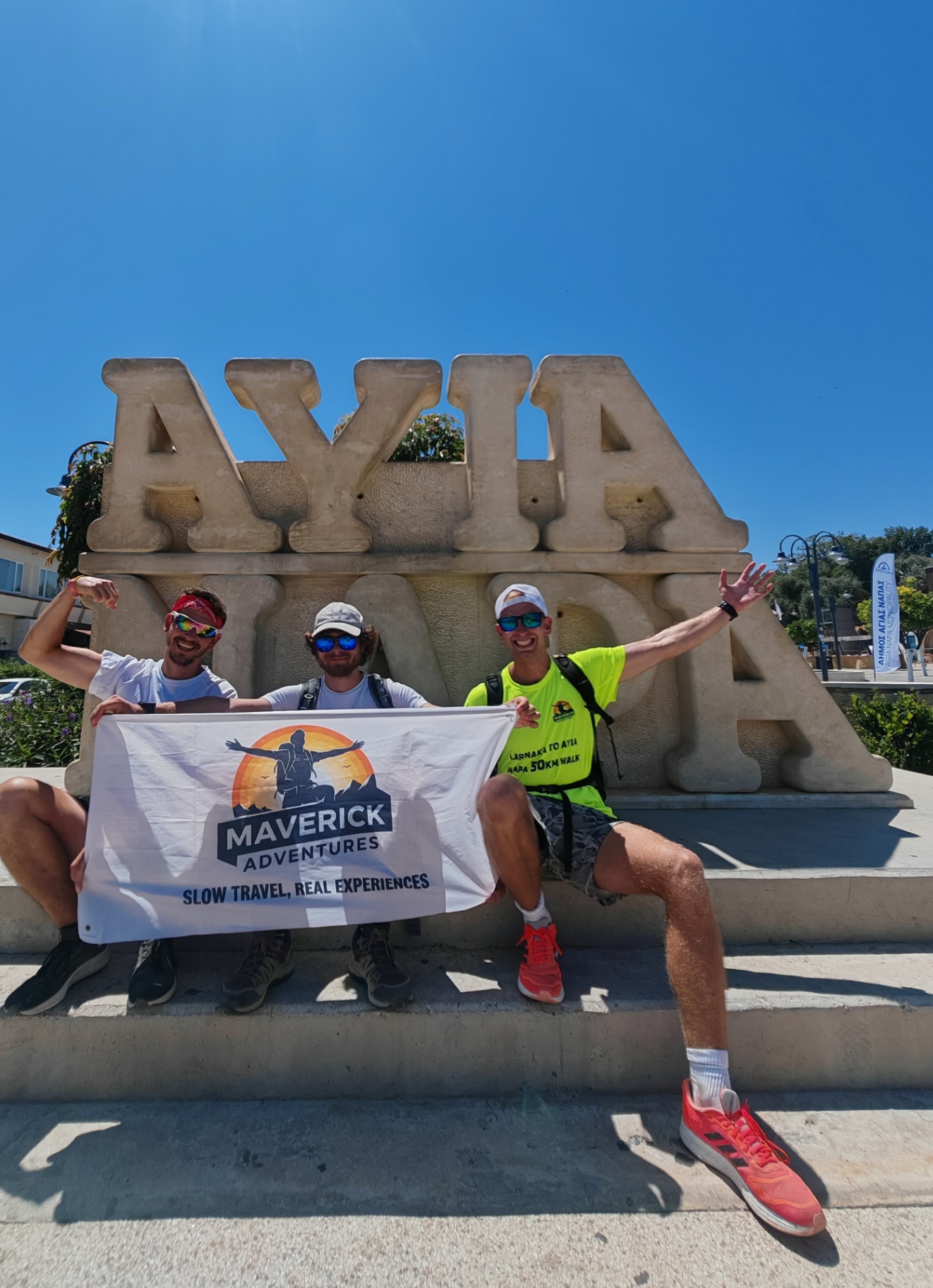
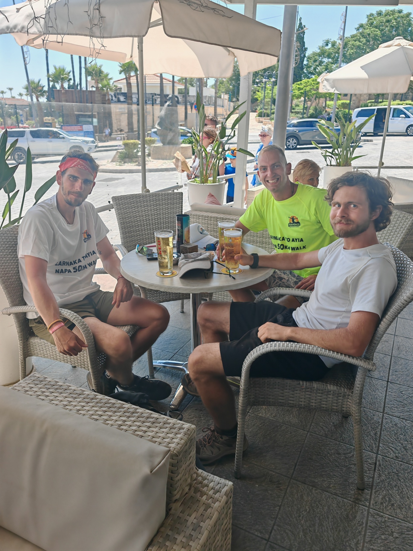
Beyond the villages, the red-soil tracks and the distant Ayia Napa Marina made the final stretch feel long. The destination was visible before it felt close. We kept walking together, one tired step at a time, until we reached Ayia Napa. The photograph with the flag records the distance, but what matters to me is the company behind it. I had found two people willing to spend a whole night and day on foot, and a way to support a message I cared about without having to share every part of their philosophy. Sitting down together at the end was a simple pleasure we had all earned.
Transport story
How do you get to Larnaca Airport from Limassol by bus?
Two buses: the intercity to Larnaca, then a town bus to the airport.
- First bus
- Intercity bus to Larnaca from the Limassol New Port terminal, ride to the last stop, the Nicolaides Building
- Second bus
- Bus 425 from Larnaca Central Station to Larnaca Airport
The route
Milestones from start to finish
Larnaca Airport to Ayia Napa
Drag to move · scroll to zoom
Elevation & steepness
-1–56 m
Distance
48.3 km
Elevation gain
155 m
Elevation loss
152 m
Highest point
56 m
Lowest point
-1 m
Steepness by distance
Major climbs & descents
The most significant sustained climbs and descents along the route.
Major climbs
Major descents
Road type
How the route is classified across its full distance.
Weather along the route
Loading the forecast…
Sun & shade through the day
Open sunShade category · from mapped tree cover along the routeCurrent date and time: …
Working out the sun along the route…
From the trail
Moments from the walk
Photos: Nenad and Alex / Maverick Adventures — read their original recap
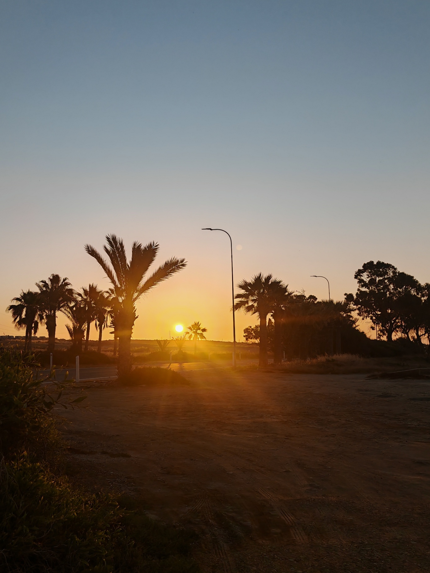
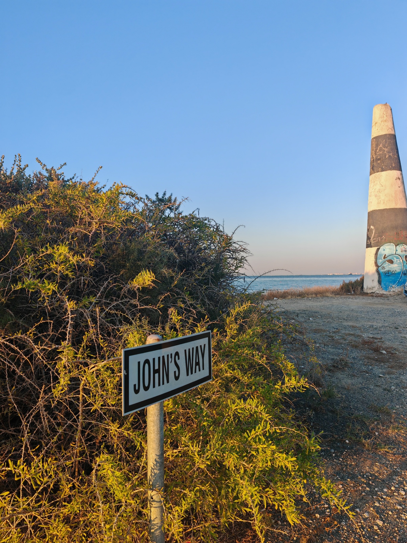
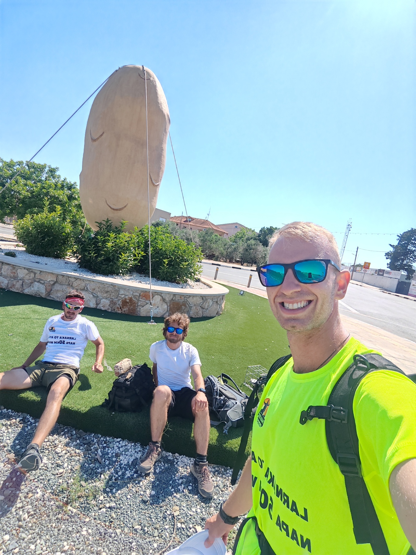
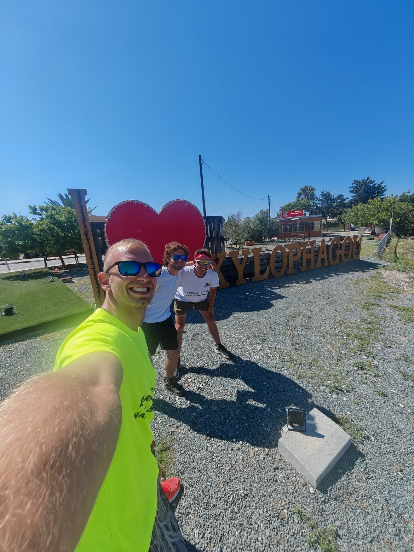
Drag sideways to see more photos
Trail notes
If you're planning to walk it
Access
The trailhead is a two-minute walk from the Larnaka Airport bus stop. The walk ends at Ag. Napa Monastery Square, where a bus runs back to Larnaca through the day — plan the Limassol connection before the evening deadline.
Read more
The walk starts at the Larnaka Airport bus stop, about 120 m from the trailhead — a two-minute walk. From Limassol, take the intercity to Larnaca and change for bus 425 out to the airport; in the timetable this site uses, the first runs reach the airport shortly after 06:00, with several more through the morning. The finish is the easy part: the route ends at the Ag. Napa Monastery Square stop, a few steps from the end of the walk, and bus 43 runs back to Larnaca through the day and into the evening, the last one at 21:31. Limassol is what sets the deadline — the last bus 45 from Larnaca leaves at 21:15 from Sunday to Thursday but at 19:30 on Friday and Saturday, so the last 43 that still connects leaves Ayia Napa at 19:16 from Sunday to Thursday and 17:31 on Friday and Saturday. If you'd rather not change at all, the direct bus 35 to Limassol leaves the same square at 07:59 and 13:44 — early, but it goes straight home.
Best season
Hike in spring or autumn. Avoid summer — sea level and little shade.
Read more
Spring and autumn are the best months here. The whole route sits at sea level — my recording has 48.3 km with barely 150 m of climbing, and the middle of it never leaves the coast — so there is no altitude to cool you and almost nowhere to hide: over half the walk is asphalt, another fifth paved, and the shade is patchy at best. I walked it in June, and it was the sun, not the ground under my feet, that wore me down. In summer, start before sunrise and carry more water than you think you need. Spring gives you cool mornings and long light; autumn still holds the summer's warmth without the midday bite. Winter is mild on the coast and often the most comfortable walking of all, but a 50 km day eats daylight, so from November to February you need to be moving at first light — and the bus home sets the real cut-off: the direct 35 to Limassol leaves at 07:59 and 13:44, and the last 43 that connects on to Limassol leaves Ayia Napa at 19:16 from Sunday to Thursday and 17:31 on Friday and Saturday.
Navigation
This is a custom long-distance route along the coast, not a designated trail. Keeping the sea on your right makes the general direction easy, but the line moves between asphalt, paved stretches and coastal ground, so an offline map helps where the coast road and the shoreline part. Some stretches may share designated or waymarked paths, but the route as a whole is my own line, so don't expect continuous signs — follow a downloaded GPS track.
Water & food
Resupply on this walk is a village-by-village affair, and the hour you start decides everything. I set off at 1am, when everything was shut: the first chance for water was Savino's Rock Bar, about 6 km in, and it was open — a table and a drink in the middle of the night became part of the story. From there the Larnaka beachfront carries you for roughly 10 km, with cafés and kiosks that open as the day does, and further along, Ormideia (about 25 km) and Xylofagou (about 38 km) both make good stops for coffee, food or ice cream in the shade. After Xylofagou, plan for nothing: the last stretch is a red-soil dirt road with no water and almost no shade, so fill your bottles there before the final push to Ayia Napa. In summer, carry more water than you think you need between stops — over half the route is open asphalt, and it is the sun, not the distance, that drains them.
Support this documentation
Keep car-free access information open to everyone.
Your support helps turn bus journeys and days on foot into freely available GPS records, photographs and access observations. Contributions help with field transport, food, water, equipment and publishing; the information remains free whether or not you contribute.
Buy me a coffee