APSIOU, CYPRUS · OCTOBER 2026
Klimadia Gorge
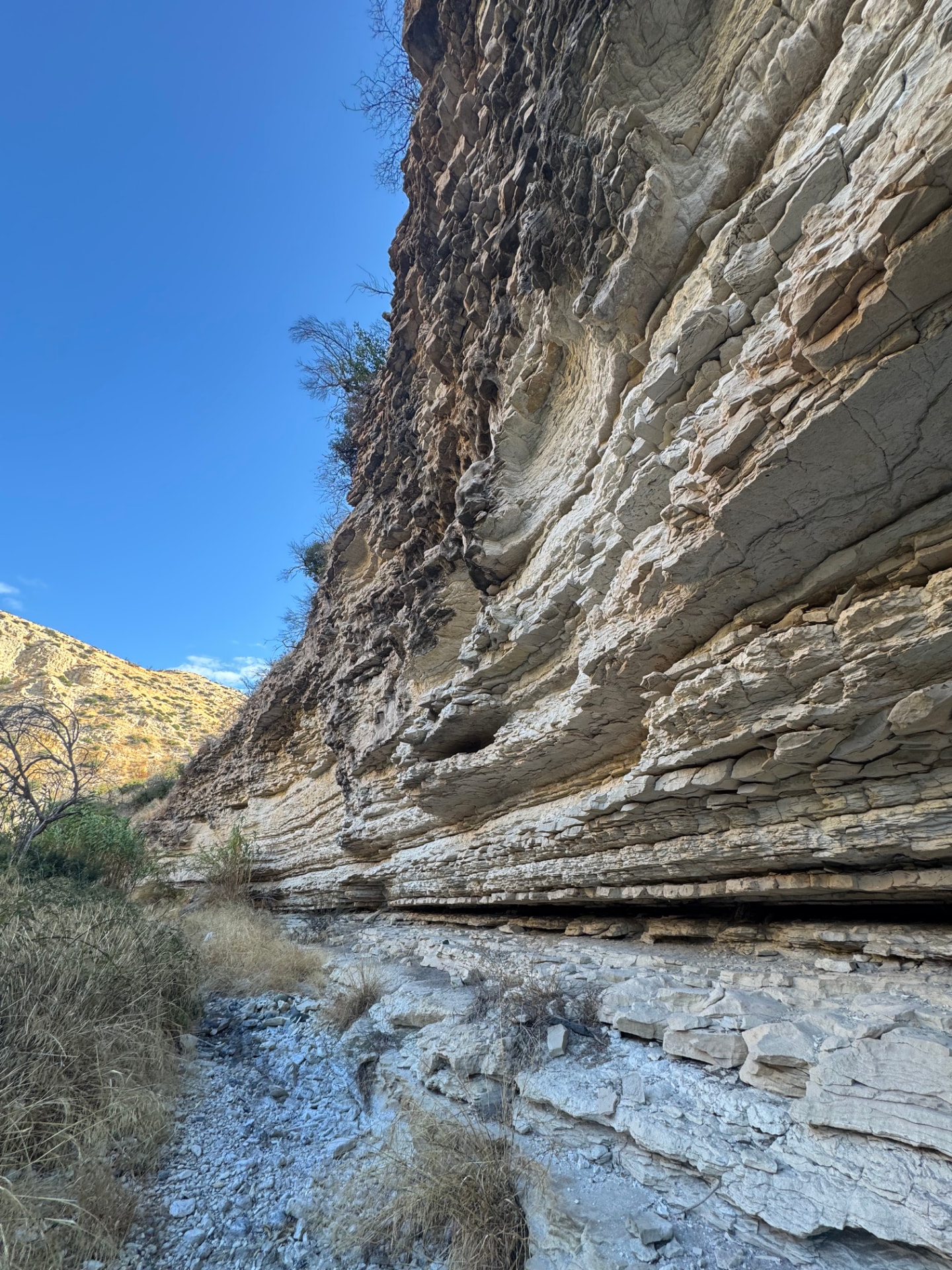
A hidden gorge near Apsiou — no sign, no proper path, just a rocky riverbed to follow in and back out again.
Car-free access to the start
The walk after the bus
- Nearby bus stop in the snapshot
- Gerasa
- Estimated access walk
- 2.47 km · ~35 min
- Walking-distance indicator
- Moderate
This is the connection to the hike's start, not the full hike. A nearby stop does not guarantee a bus at your chosen time.
Sources and missing information
- Access source
- Stored walking-route estimate and official bus-stop snapshot
- Hike recorded
- OCTOBER 2026
- Transport story checked
- Not documented
- Access snapshot verification date
- Not documented
- Access-walk ascent
- Not documented
- Access terrain and road safety
- Not documented
- Access water availability
- Not documented
- Bus service frequency
- Not documented
Distance is not a safety rating. Check current buses, access, weather, daylight and water; remote or hazardous terrain may require turning back.
3 km
Distance
116 m
Elevation gain
—
Peak
One day
Duration
Canyon
Terrain
OCTOBER 2026
Date
Challenging riverbed start · Moderate escape route
Difficulty
None in the gorge · Some on the hill escape route
Mobile signal
Overview
The story of this trail
Klimadia Gorge does not announce itself. There is no trailhead sign, no painted waymarker, no information board promising a scenic experience — just a road that runs above a fold in the ground near Apesia, and the slow realisation that the fold in the ground is a gorge.
Transport story
How do you get to Klimadia Gorge without a car?
Take bus 50 from Limassol to Gerasa, then walk south into the valley between Gerasa and Paramytha — the entrance to the gorge is on the left.
- Option one
- Bus 50 from Limassol Central Station, then stop at Gerasa bus station and walk 2.5 km south into the valley between Gerasa and Paramytha
- The entrance
- On the left — the entrance to the gorge will be there
The route
Milestones from start to finish
Trees left after the 2023 fire · Sentinel-2, Sept 2024
Burned August 2023
Dashed red outline · Sentinel-2 before/after the fire
Klimadia Gorge
Drag to move · scroll to zoom
Elevation & steepness
281–366 m
Distance
2.95 km
Elevation gain
116 m
Elevation loss
109 m
Highest point
366 m
Lowest point
281 m
Steepness by distance
Major climbs & descents
The most significant sustained climbs and descents along the route.
Major climbs
Major descents
Road type
How the route is classified across its full distance.
Weather at the trailhead
Loading the forecast…
Sun & shade through the day
Open sunShade category · from mapped tree cover along the routeCurrent date and time: …
Working out the sun along the route…
From the trail
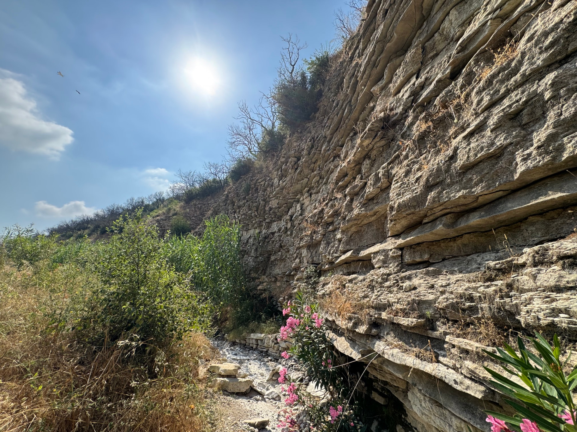
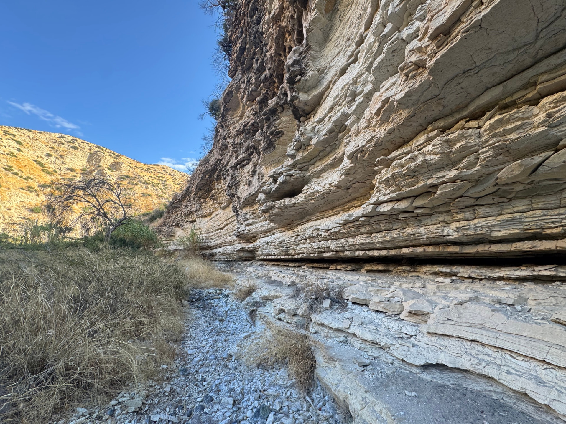
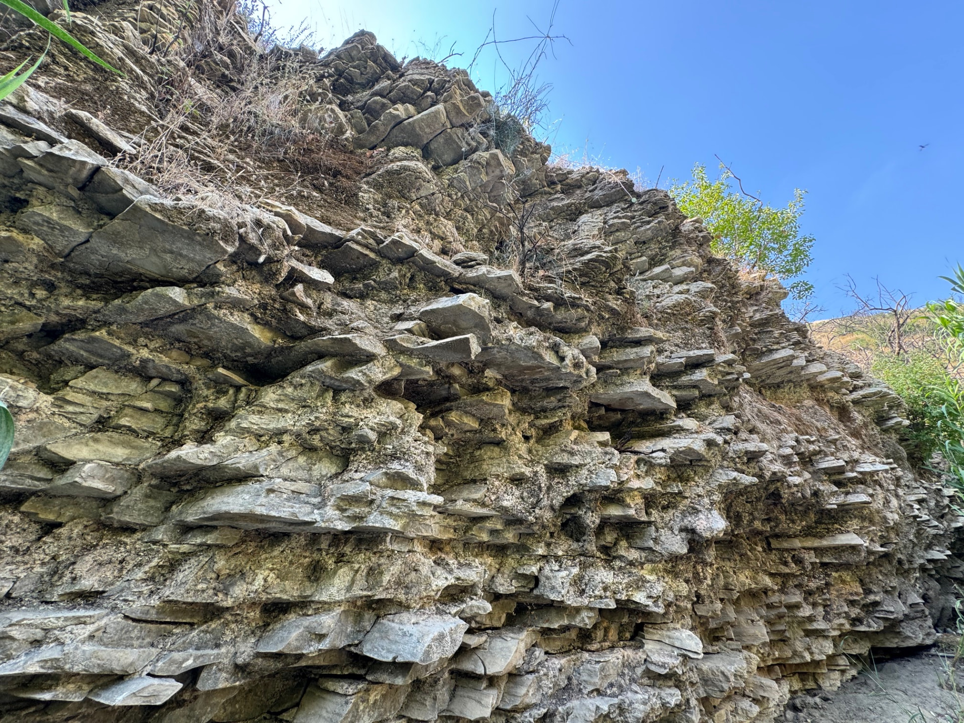
Moments from the walk
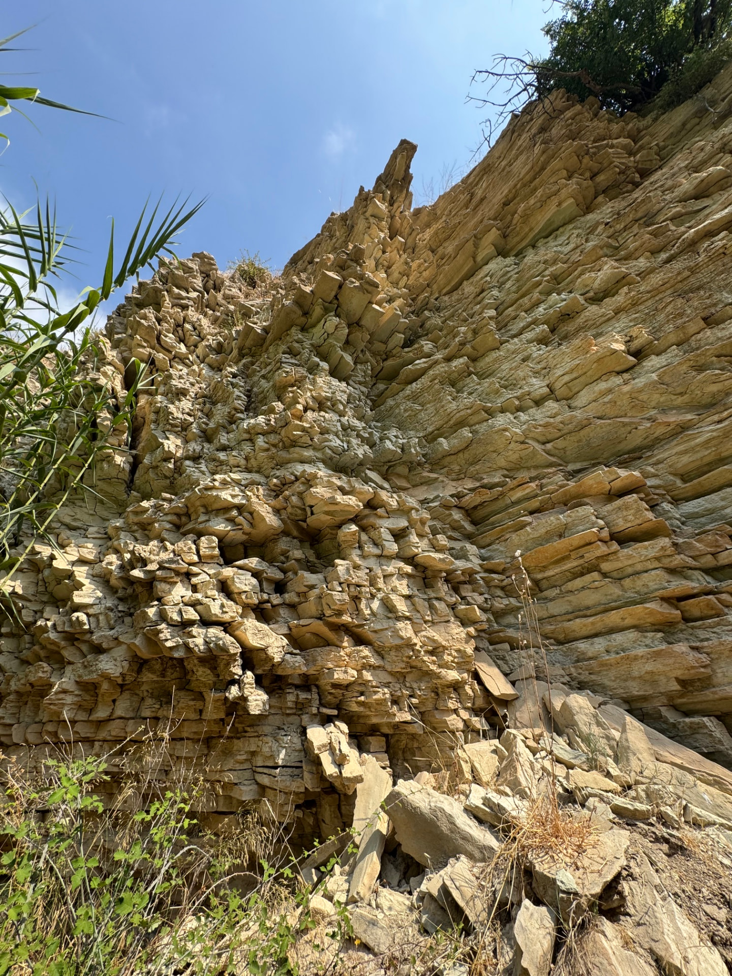
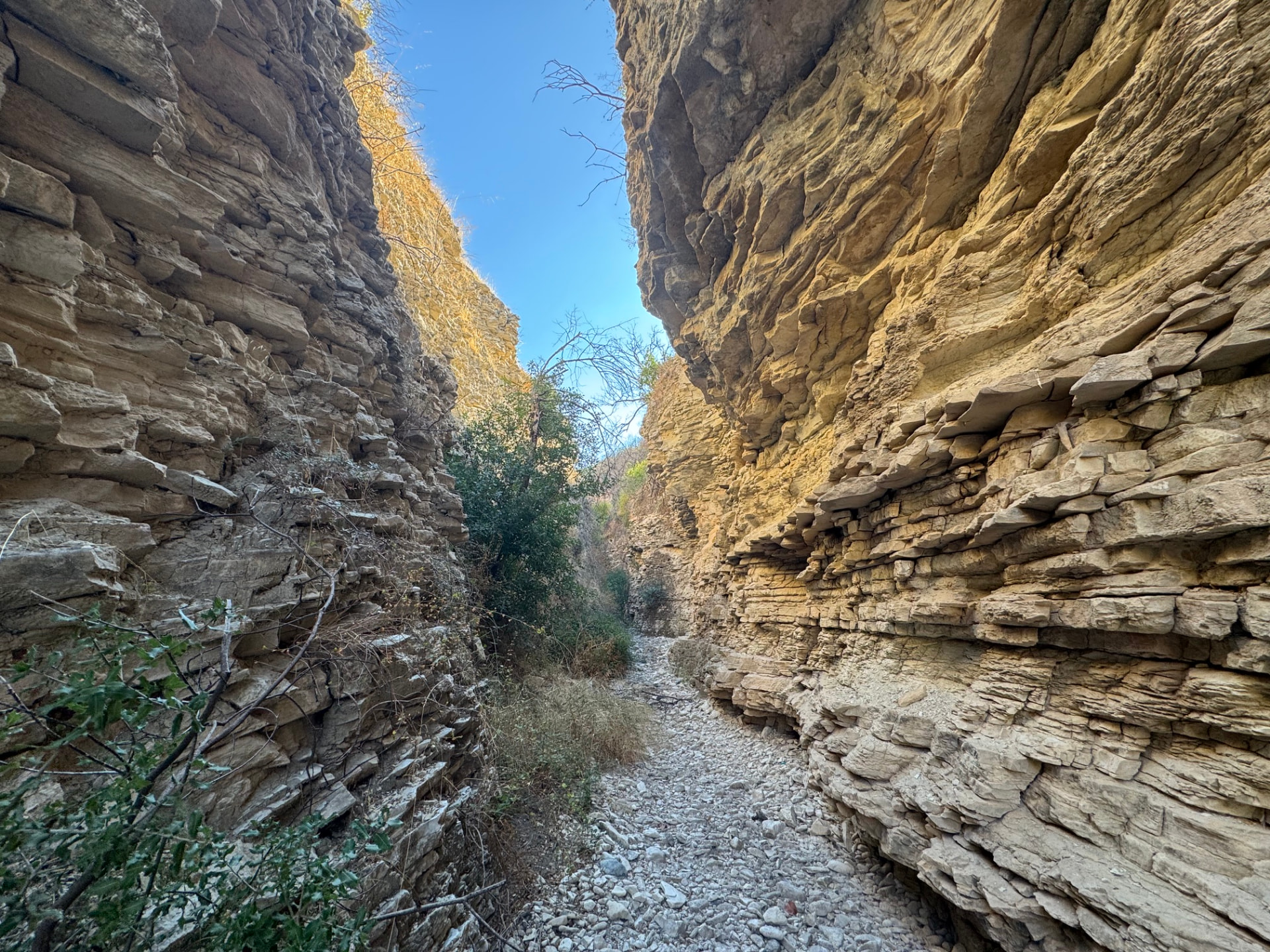
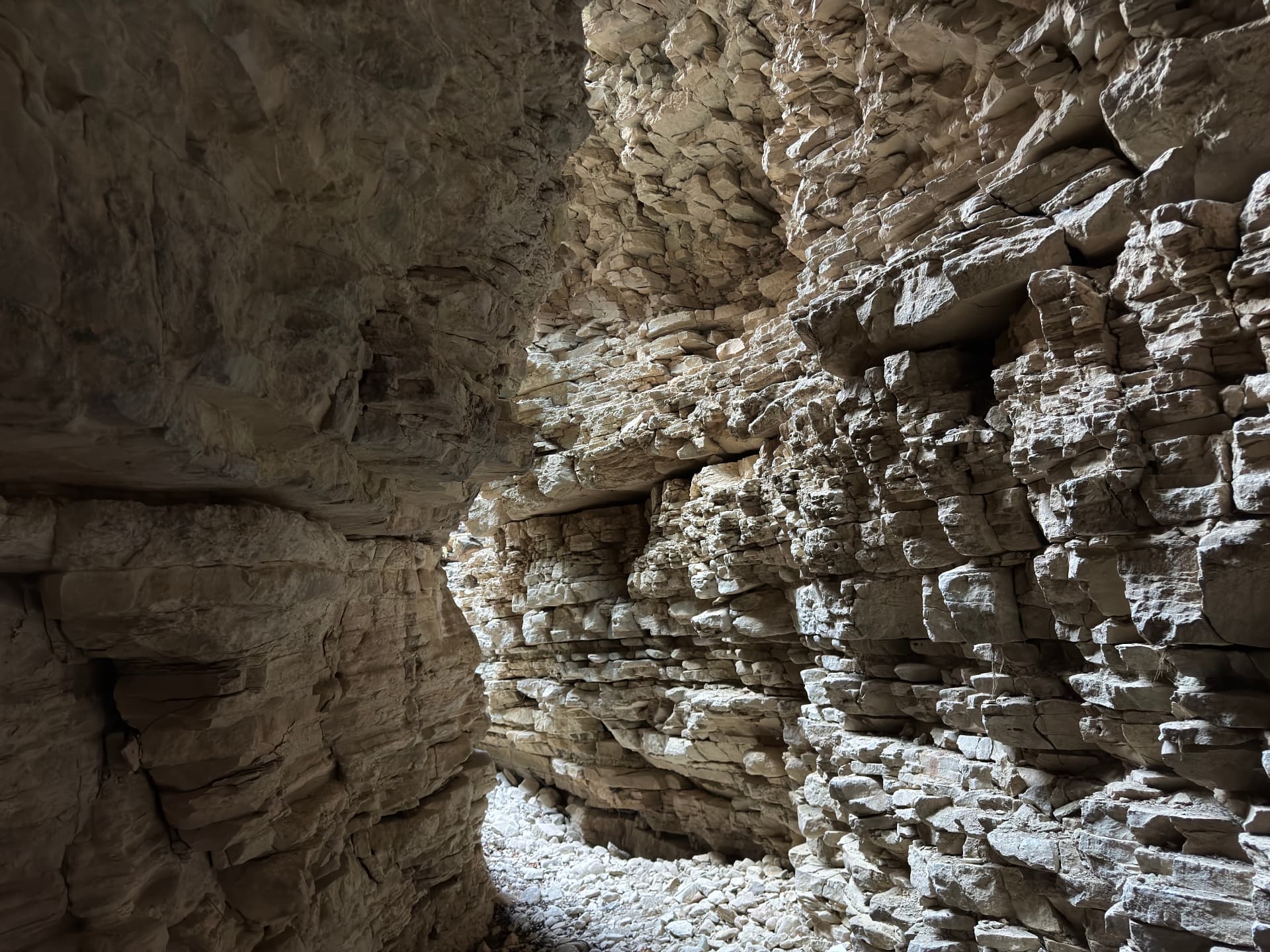
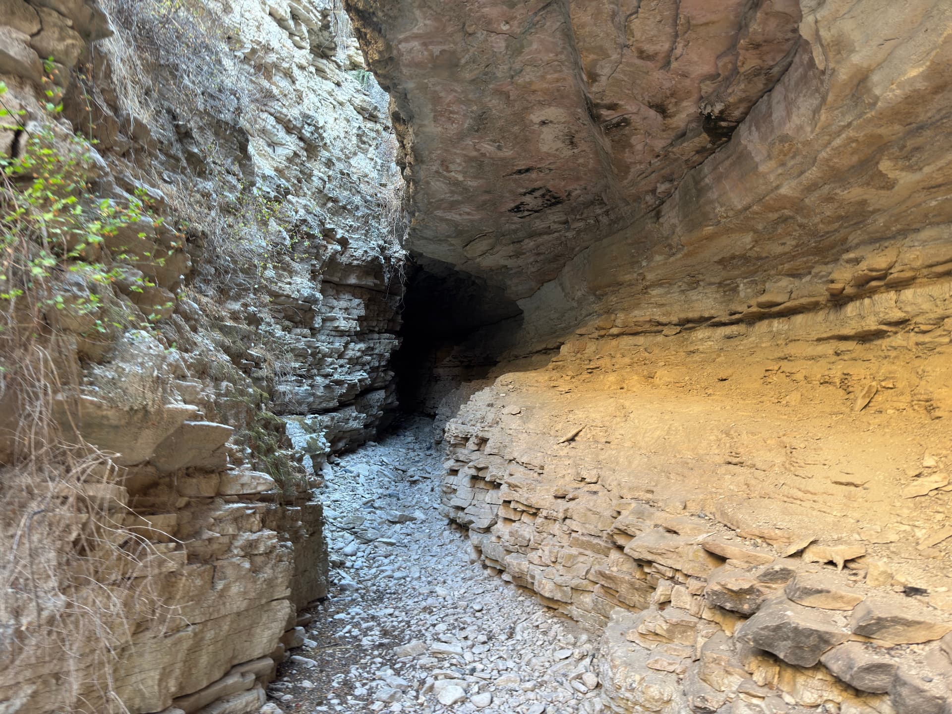
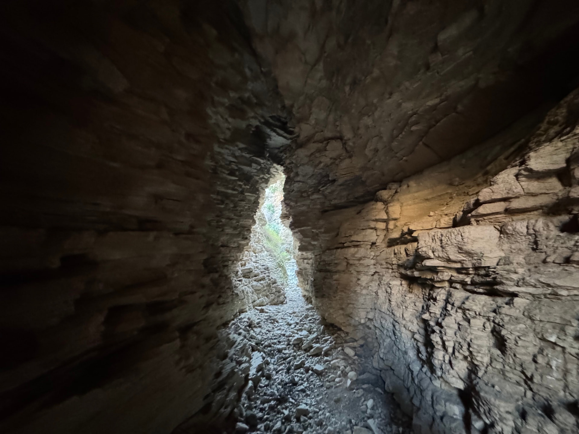
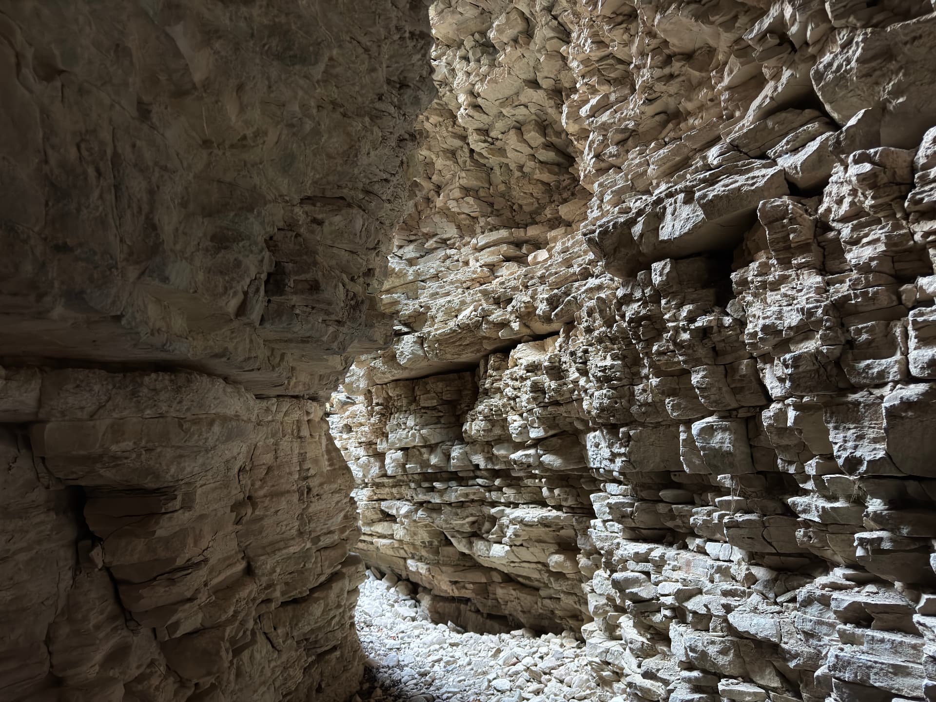
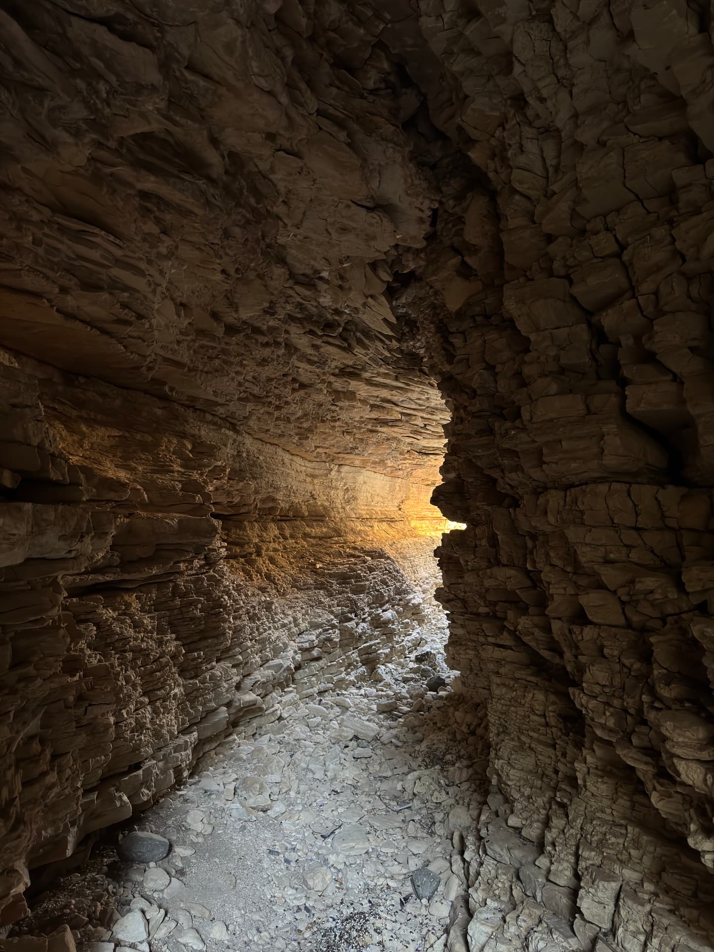
Drag sideways to see more photos
Trail notes
If you're planning to walk it
Escape route
My Strava recording measured the whole walk at 2.9 km, rounded here to 3 km, with 116 m of ascent. I did not return entirely through the gorge: the map shows a separate, unmarked escape line outside the riverbed that reconnects near the western end. The hillside burned roughly three years before this walk, so the exit is not scrub and thorns but tall grass grown back thick over the slope — it hides whatever lies beneath, and the footing is the thing to watch rather than the direction. Treat it as the route I used, not an official path, and keep the recorded map available before attempting it.
Access
Bus 50 from Limassol stops in Gerasa; from there it is a 2.5 km walk south into the valley, with the entrance on the left. Buses run about every two hours, so treat it as a half-day trip.
Read more
No bus comes to the gorge itself, but Bus 50 from Limassol stops in Gerasa — weekdays at 07:52, 09:22, 11:52, 13:52 and 16:37, on Sunday at 08:37, 11:22 and 17:22 — and from the stop it is a 2.5 km walk south into the valley between Gerasa and Paramytha, the entrance on the left. The way in is up the riverbed itself: no constructed path, and the last stretch is roughly a kilometre over rock and burnt scrub. Going home, walk back to Gerasa for the 50 toward Limassol — 09:34, 11:34, 15:04 and a last one at 17:04 on weekdays, 10:04 and 16:34 on Sunday. With services two hours apart, this is a half-day commitment; there is room for one car at the entrance for anyone driving.
Best season
Hike in winter or early spring. Avoid summer heat and the riverbed after heavy rain.
Read more
None of the fifty tree-cover samples along the route still falls inside tree cover — the August 2023 fire burned most of the trees the 2021 maps show, and 2024 satellite photos find almost none left beside the path, so what shade there is comes from the gorge walls themselves. The ground rises from 281 to 366 metres, with 30 of 276 profile samples at ten per cent or steeper. My July walk is the frame: hot, dry rock, and the hillside still dressed in tall grass grown back after the fire. Winter and early spring are the kindest — the riverbed may hold water, the scrub is green, and the walkable hours are wide. After heavy rain I would stay out of the riverbed altogether; that is caution, not experience.
Navigation
No official signage. Follow the riverbed — it is the route, and it is also the only sensible line through the overgrown stretches. Because the surface is loose rock and low bush, a stick and sturdy shoes matter more than a map.
Water & food
No springs, no taverna, no shade to speak of. Carry all the water you will need, and more if the day is warm — the riverbed holds water in the wet months and nothing at all by late summer.
Support this documentation
Keep car-free access information open to everyone.
Your support helps turn bus journeys and days on foot into freely available GPS records, photographs and access observations. Contributions help with field transport, food, water, equipment and publishing; the information remains free whether or not you contribute.
Buy me a coffee