Cyprus · December 2022
Kakomalis Geocache Hike
Chasing a hidden geocache up an unfinished mountain road, ending with a sunset the day before New Year's Eve.
Car-free access to the start
The walk after the bus
- Nearby bus stop in the snapshot
- 2nd Fasoula
- Estimated access walk
- 0.08 km · ~1 min
- Walking-distance indicator
- Easy
This is the connection to the hike's start, not the full hike. A nearby stop does not guarantee a bus at your chosen time.
Sources and missing information
- Access source
- Stored walking-route estimate and official bus-stop snapshot
- Hike recorded
- December 2022
- Transport story checked
- Not documented
- Access snapshot verification date
- Not documented
- Access-walk ascent
- Not documented
- Access terrain and road safety
- Not documented
- Access water availability
- Not documented
- Bus service frequency
- Not documented
Distance is not a safety rating. Check current buses, access, weather, daylight and water; remote or hazardous terrain may require turning back.
28.9 km
Distance
1,350 m
Elevation gain
Kakomalis
Peak
One day
Duration
Forest
Terrain
December 2022
Date
Hard
Difficulty
Usually strong · almost none on the off-road section from Panagia Amirou Monastery to the fire road towards the Kakomalis fire lookout
Mobile signal
Overview
A quiet ridge, a hidden cache, and 28.9 kilometres of forest
Kakomalis is one of those Cypriot peaks that sits just out of sight of the coastal roads — surrounded by pine forest, cut by logging tracks, and quiet enough that you can walk for hours without hearing anything but your own boots. The excuse for going, on this particular winter day, was a geocache tucked somewhere near the summit.
The route doesn't follow the F128 — it only crosses it. The F128 is a rural asphalt road connecting the villages of Akrounta and Dierona; when I hiked it, the road was still under renovation, and it is finished now. What the walk follows instead are the forest tracks and older paths that climb from Fasoula towards the ridge: wide, empty and open to the whole southern skyline.
The route
From village asphalt to summit silence
Start · Fasoula village
Fasoula was still half-asleep, shutters closed and roosters deciding whether to care. I tightened the laces one more time, not because they were loose, but because starting always deserves a small ritual.
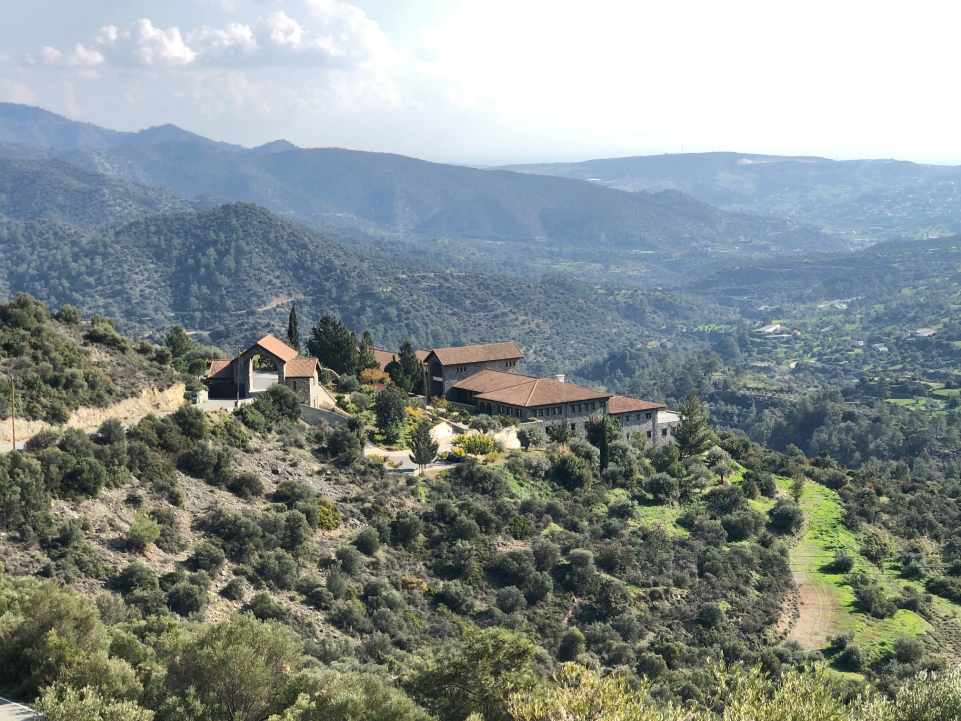
Kilometre 7.1 · View of Panagia Amirous Monastery
The monastery appeared like something the hills had kept back on purpose — stone and silence where the village noise finally gave up. I stood there longer than I needed to, suddenly aware that the real walking had begun.
Kilometre 16 · The cache
My hands were colder than my judgment as I followed the coordinates off the road. Then — there it was, hidden exactly where a stranger once trusted the mountain to keep a secret. I signed the log and smiled at people I would never meet.
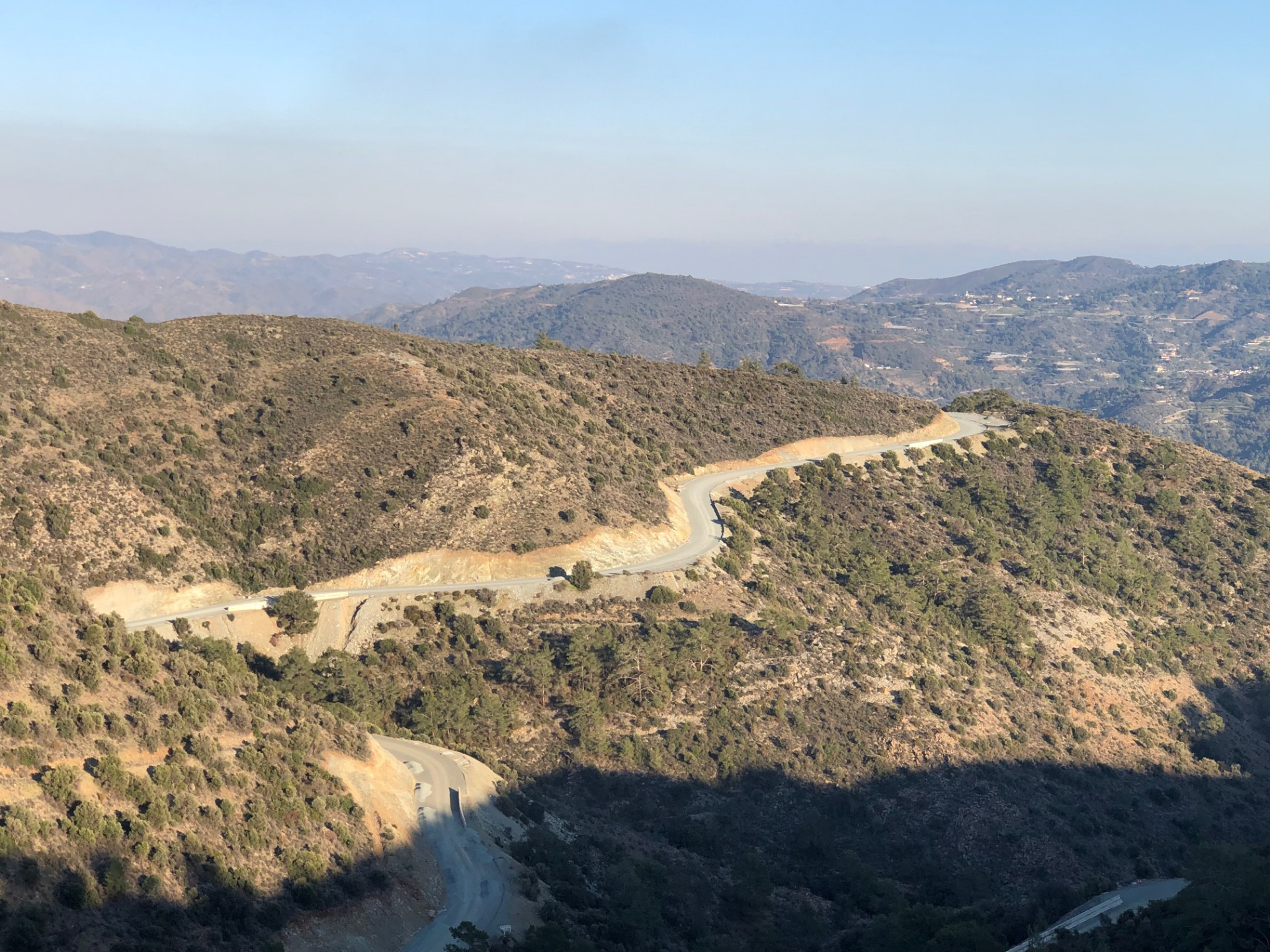
Kilometre 20.6 · View of F128 road
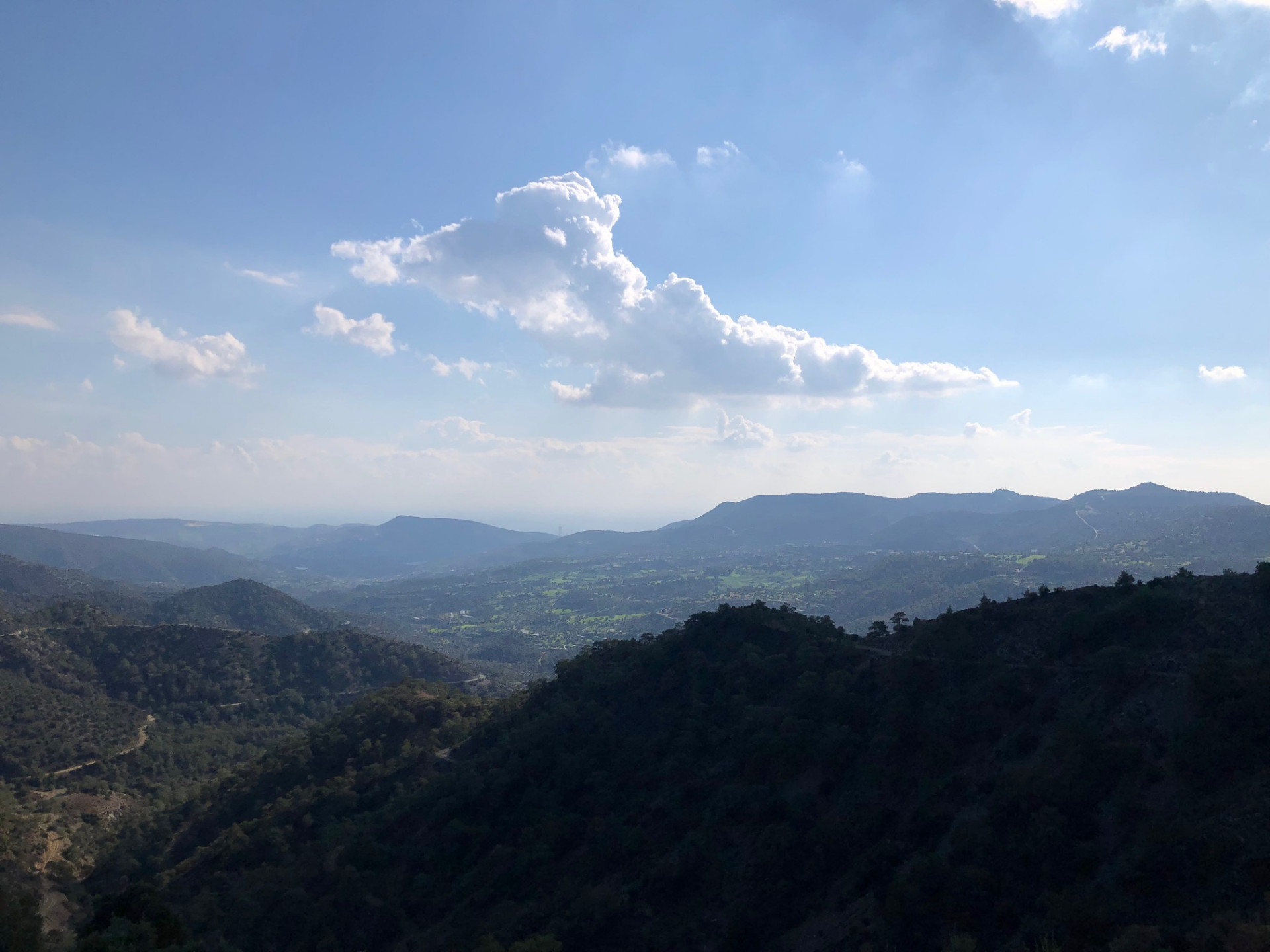
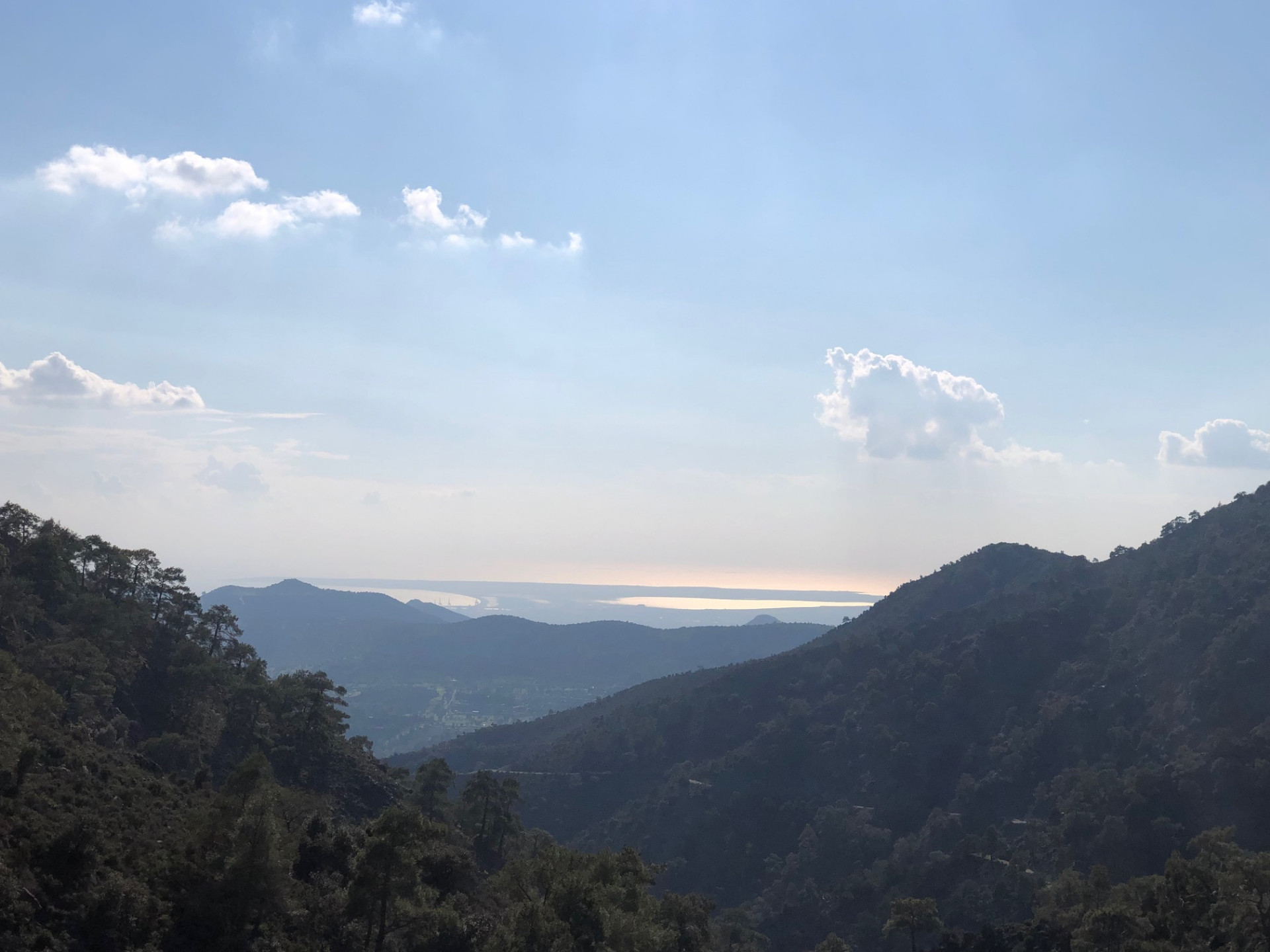
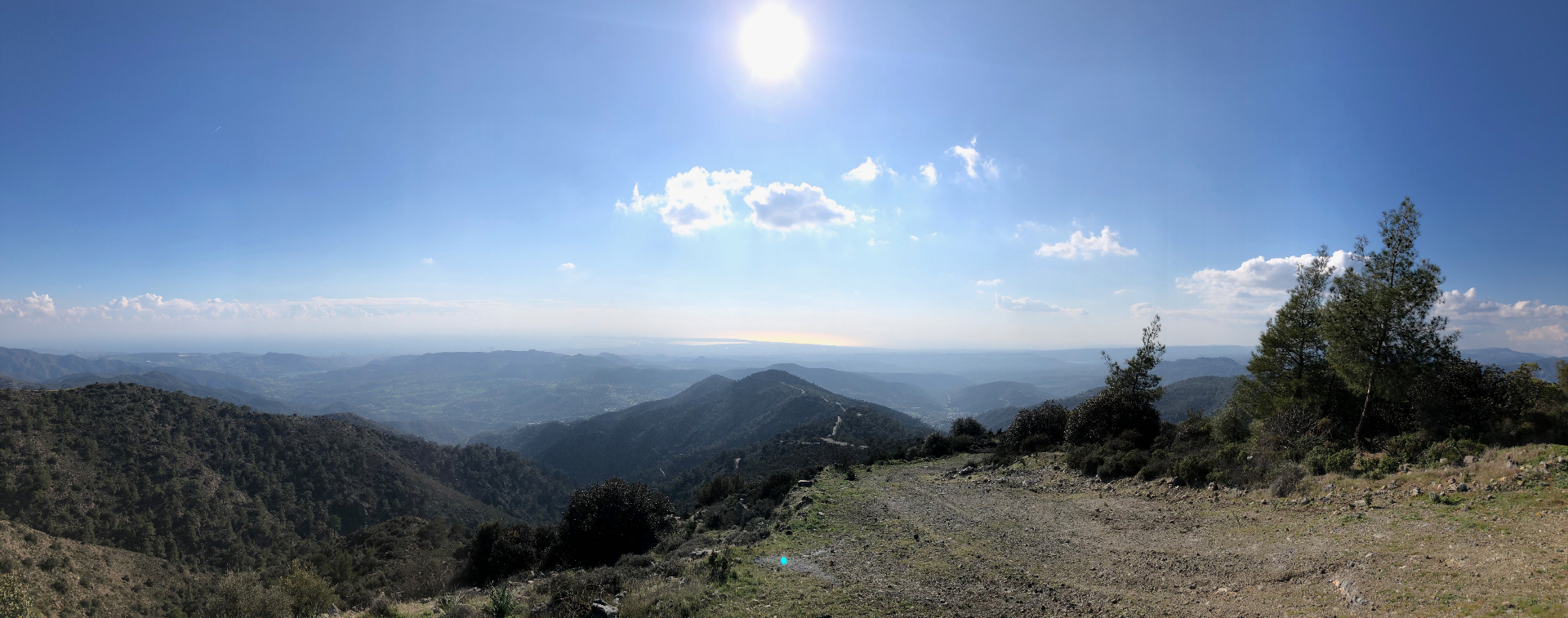
The pines stepped aside and the ridge handed me the bill: every metre of climbing, repaid in one sweeping glance from the Troodos foothills all the way to the sea. I forgot to be tired.
Kilometre 28.9 · Sunset ascent to Kakomalis picnic site
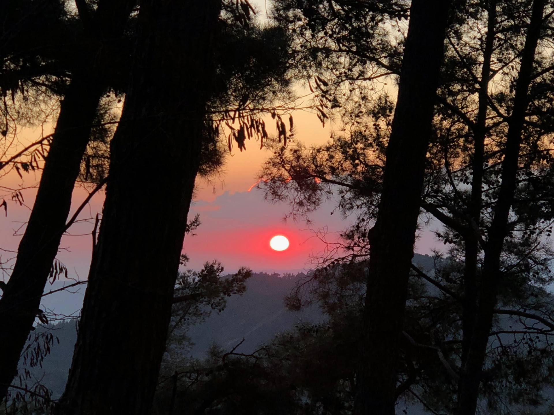
The last climb burned, but the ridge was already on fire with the last sunset of the year. I reached the picnic site just as the light turned gold, and for a moment the whole walk felt like a conversation I had won.
Trees left after the 2023 fire · Sentinel-2, Sept 2024
Burned August 2023
Dashed red outline · Sentinel-2 before/after the fire
Kakomalis route
Drag to move · scroll to zoom
Elevation & steepness
366–972 m
Distance
28.5 km
Elevation gain
1,340 m
Elevation loss
840 m
Highest point
972 m
Lowest point
366 m
Steepness by distance
Major climbs & descents
The most significant sustained climbs and descents along the route.
Major climbs
Major descents
Road type
How the route is classified across its full distance.
Weather at the trailhead
Loading the forecast…
Sun & shade through the day
Mostly shadyShade category · from mapped tree cover along the routeCurrent date and time: …
Working out the sun along the route…
From the trail
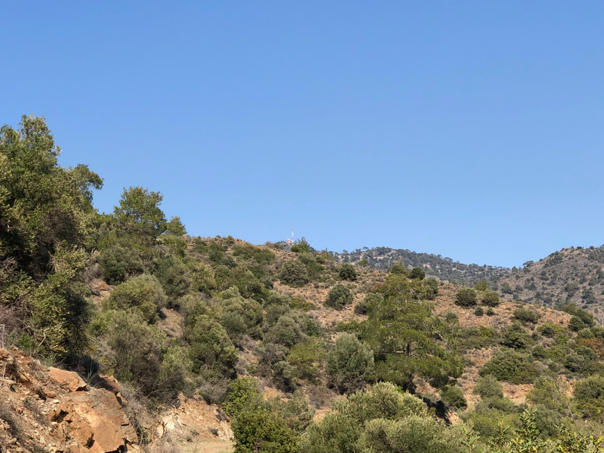
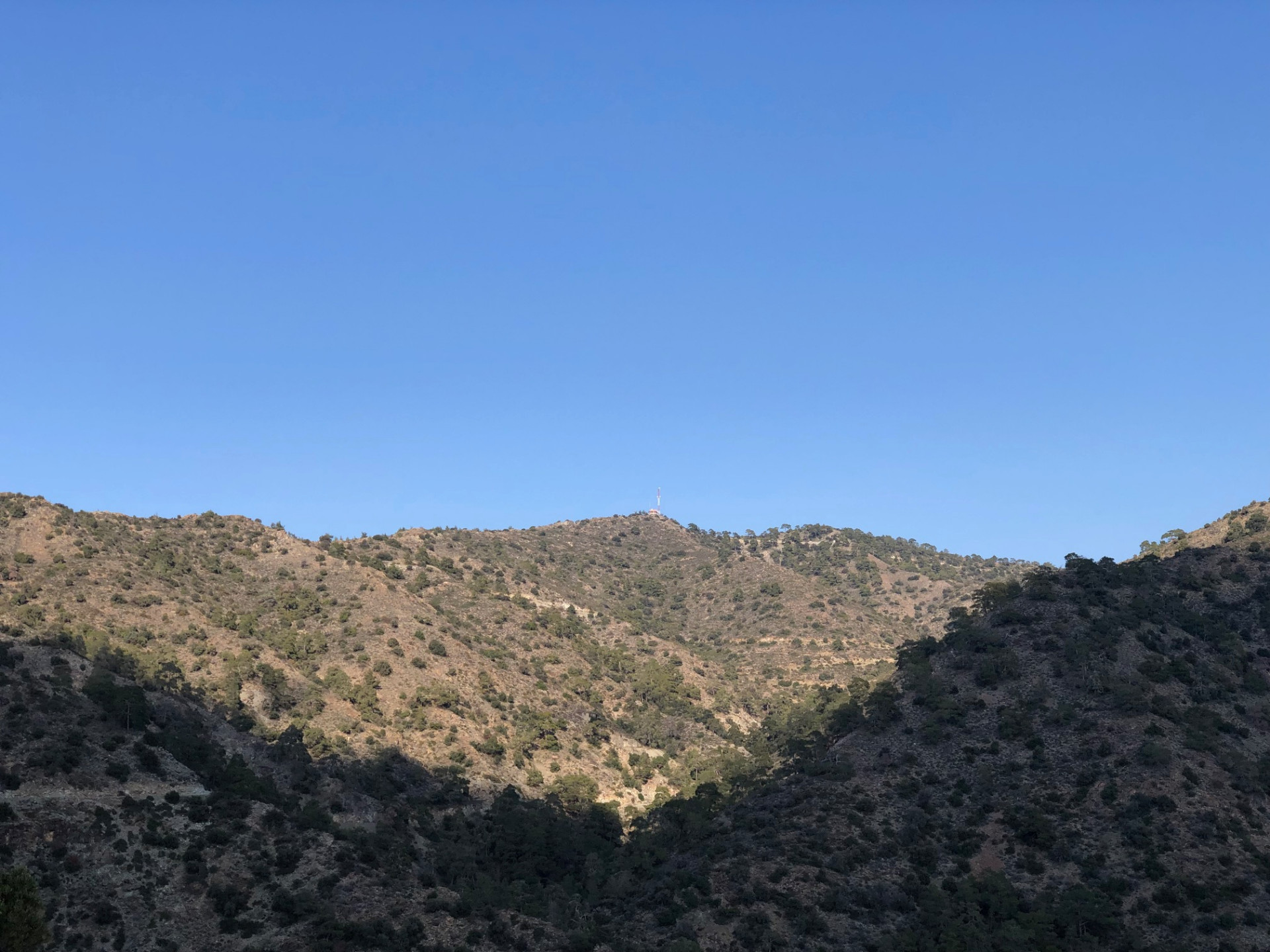
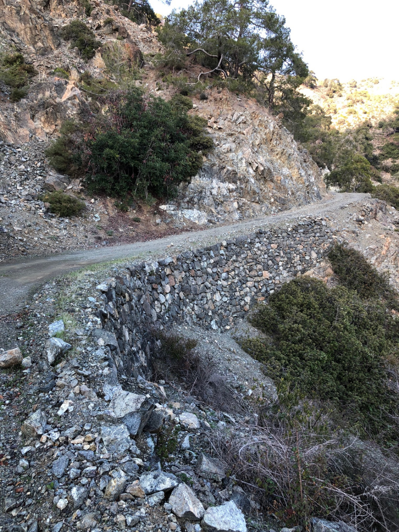
Ten moments from the walk to Kakomalis
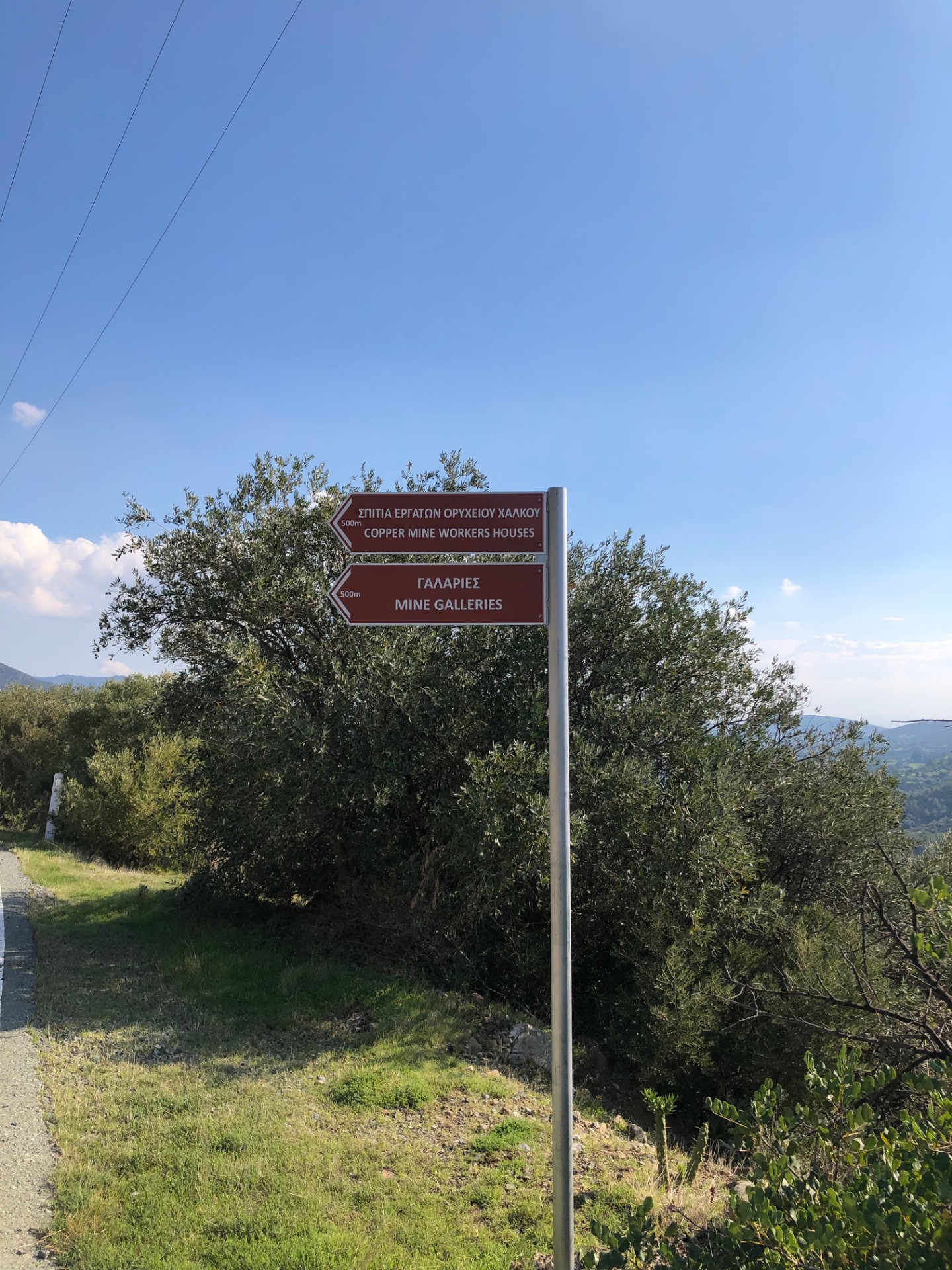
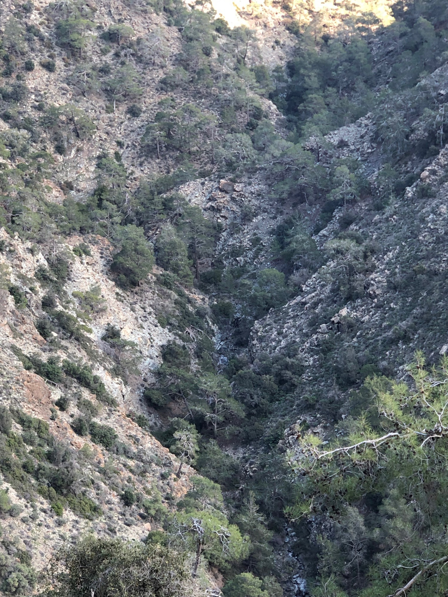
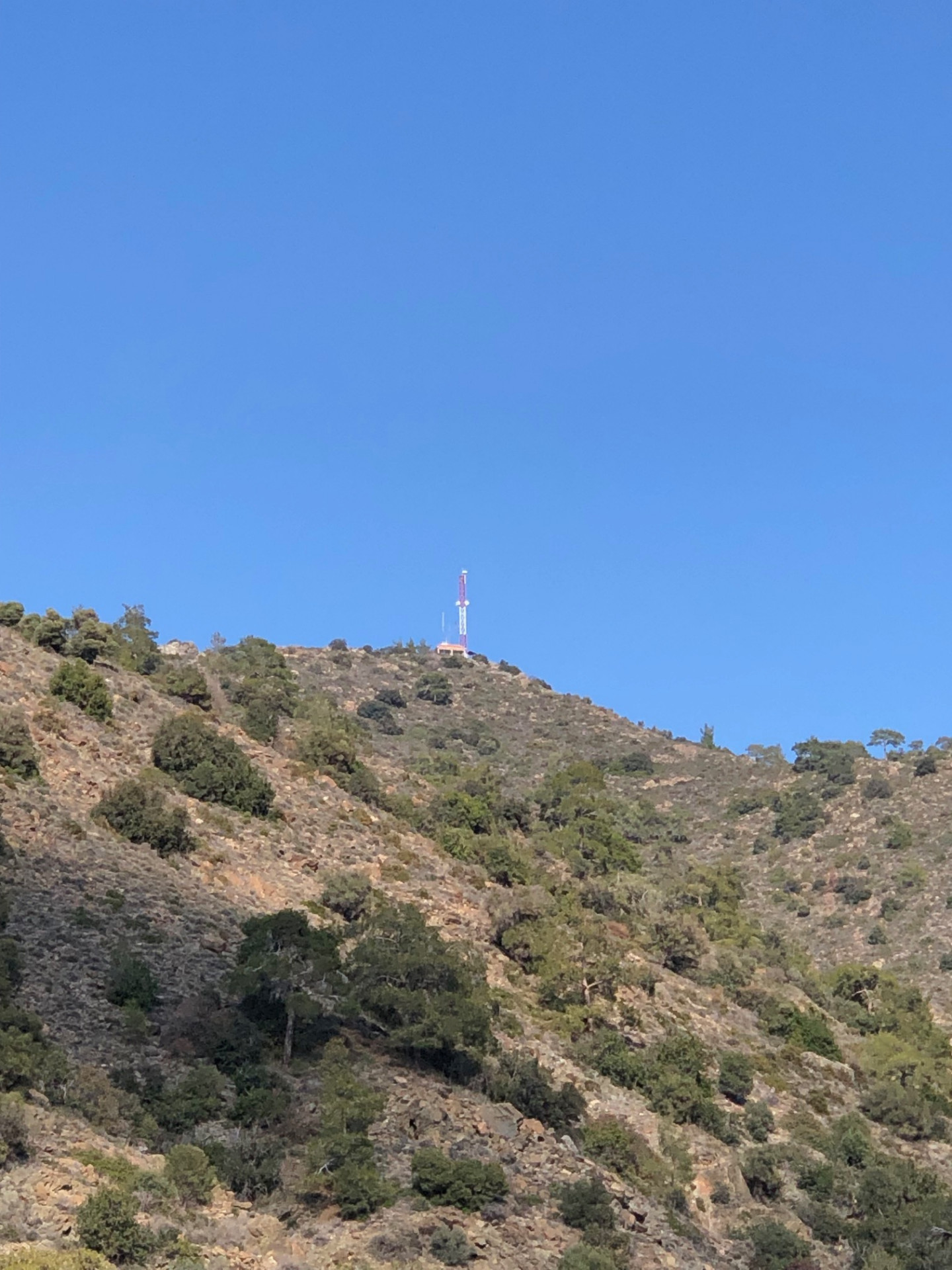
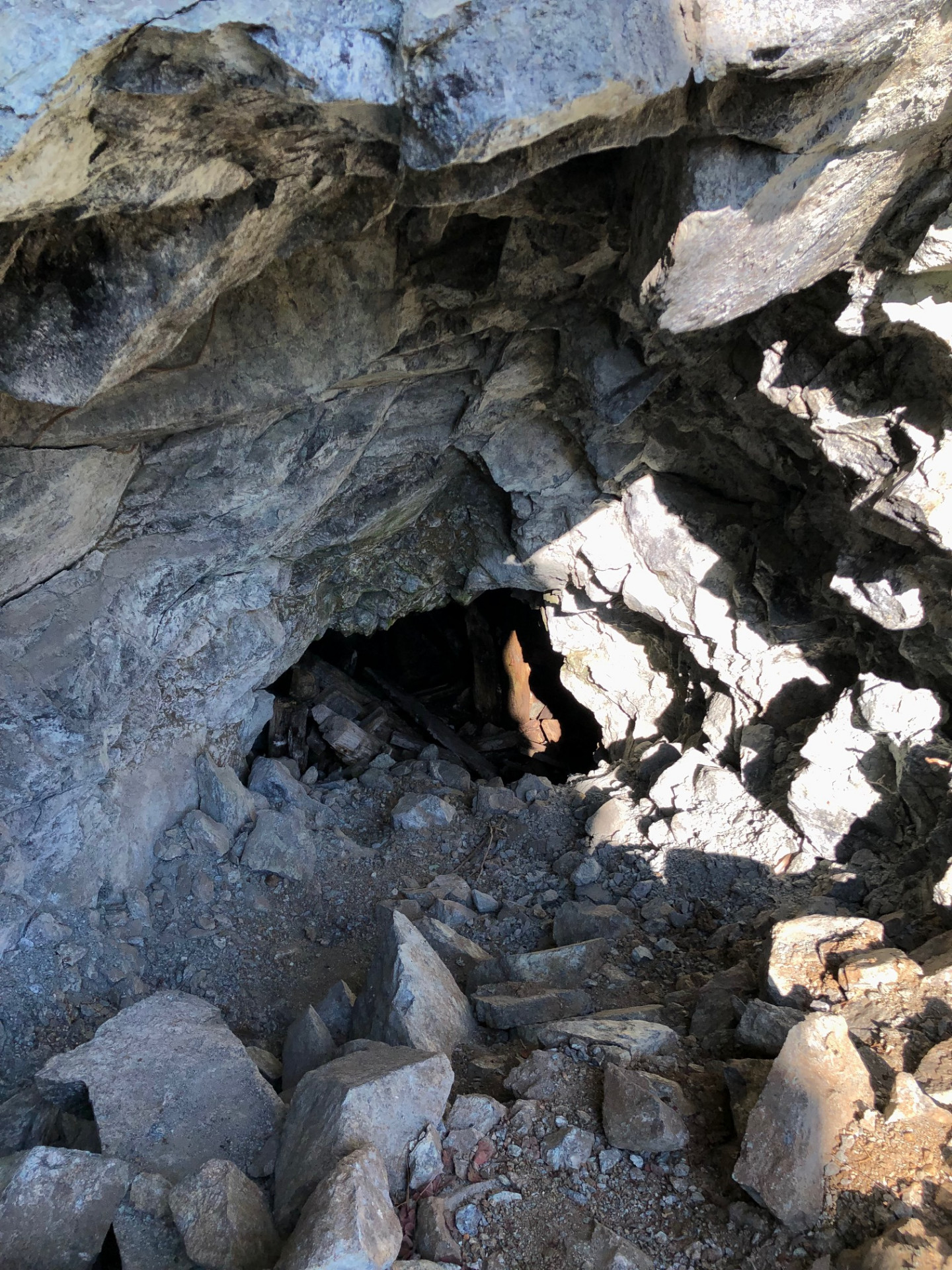
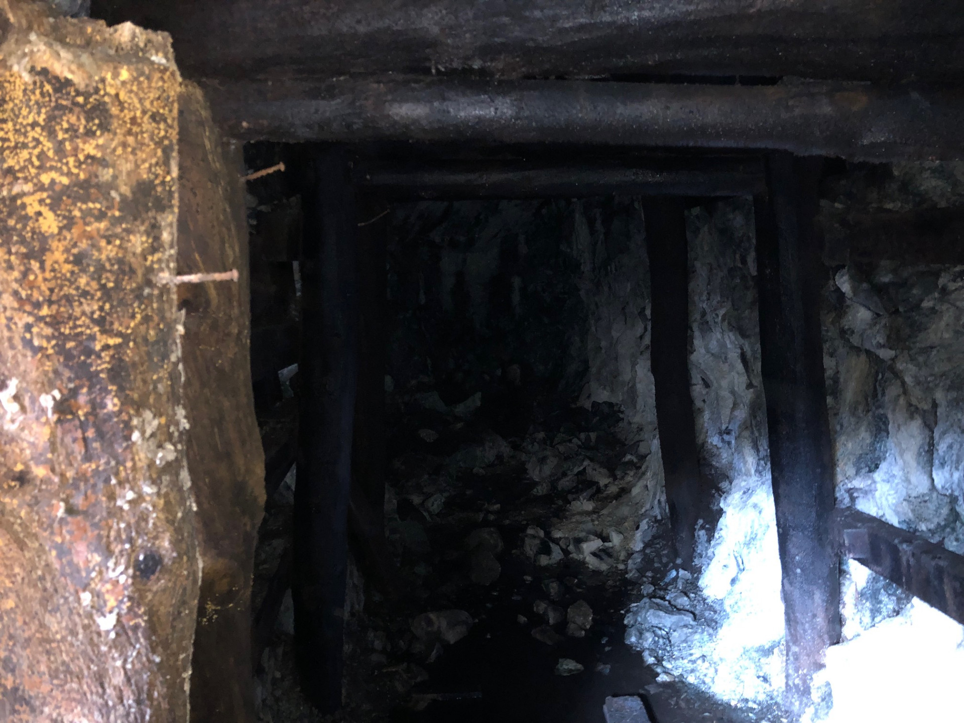
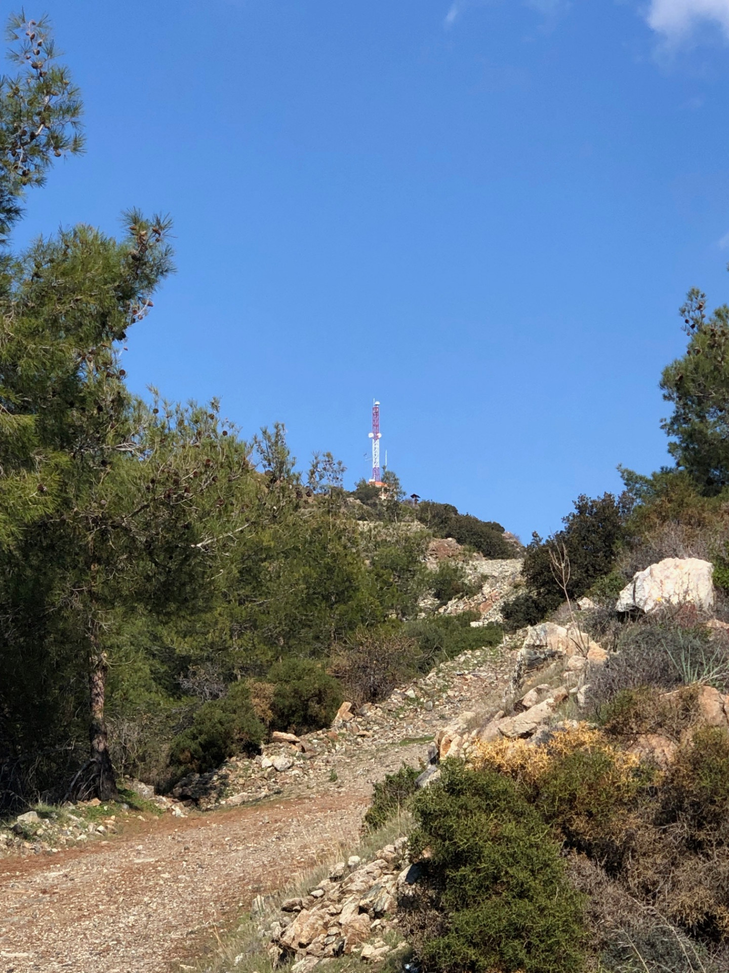
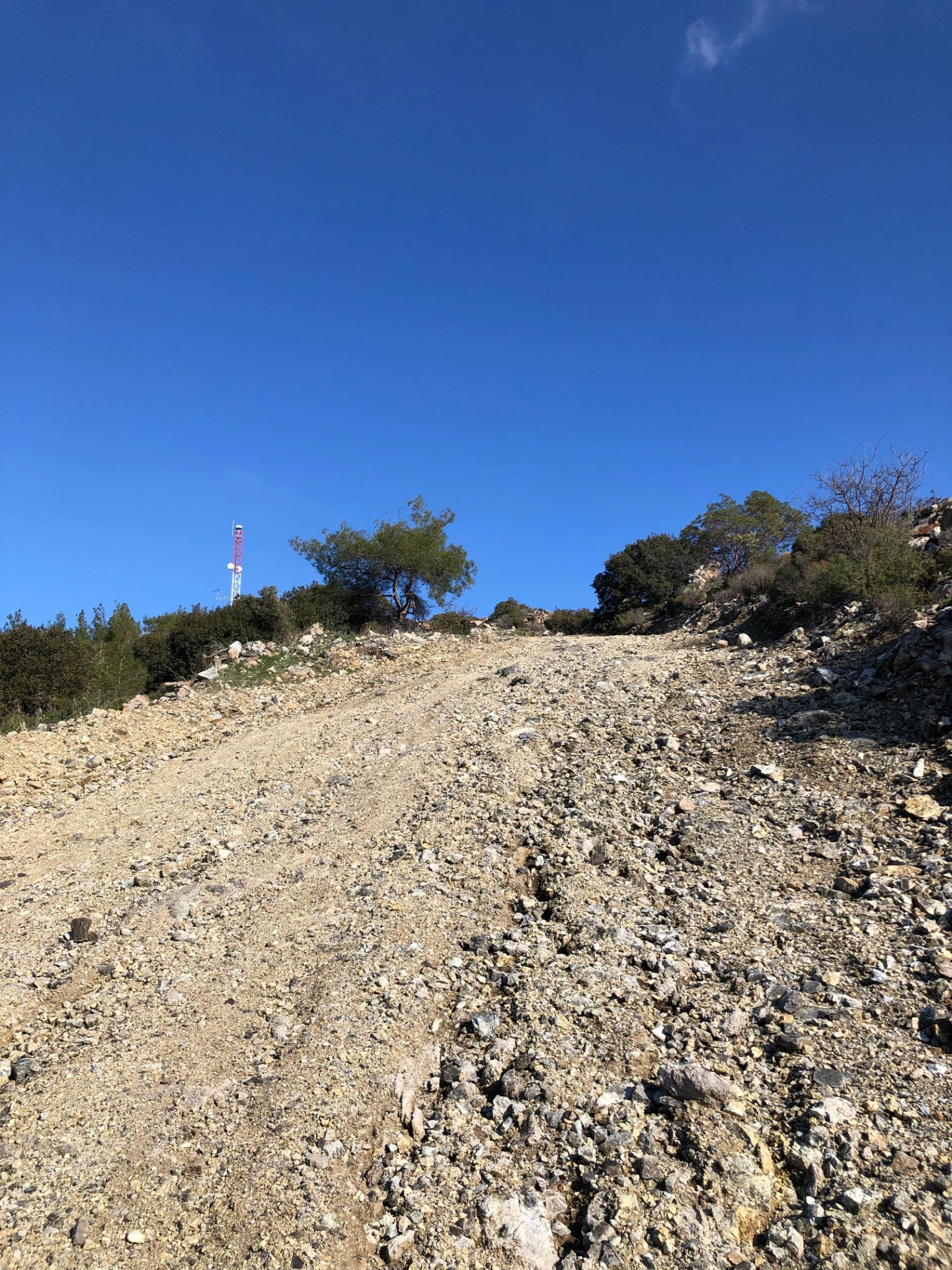
The signs, the detours, the small doubts and the quiet wins — in the order I met them along the F128.
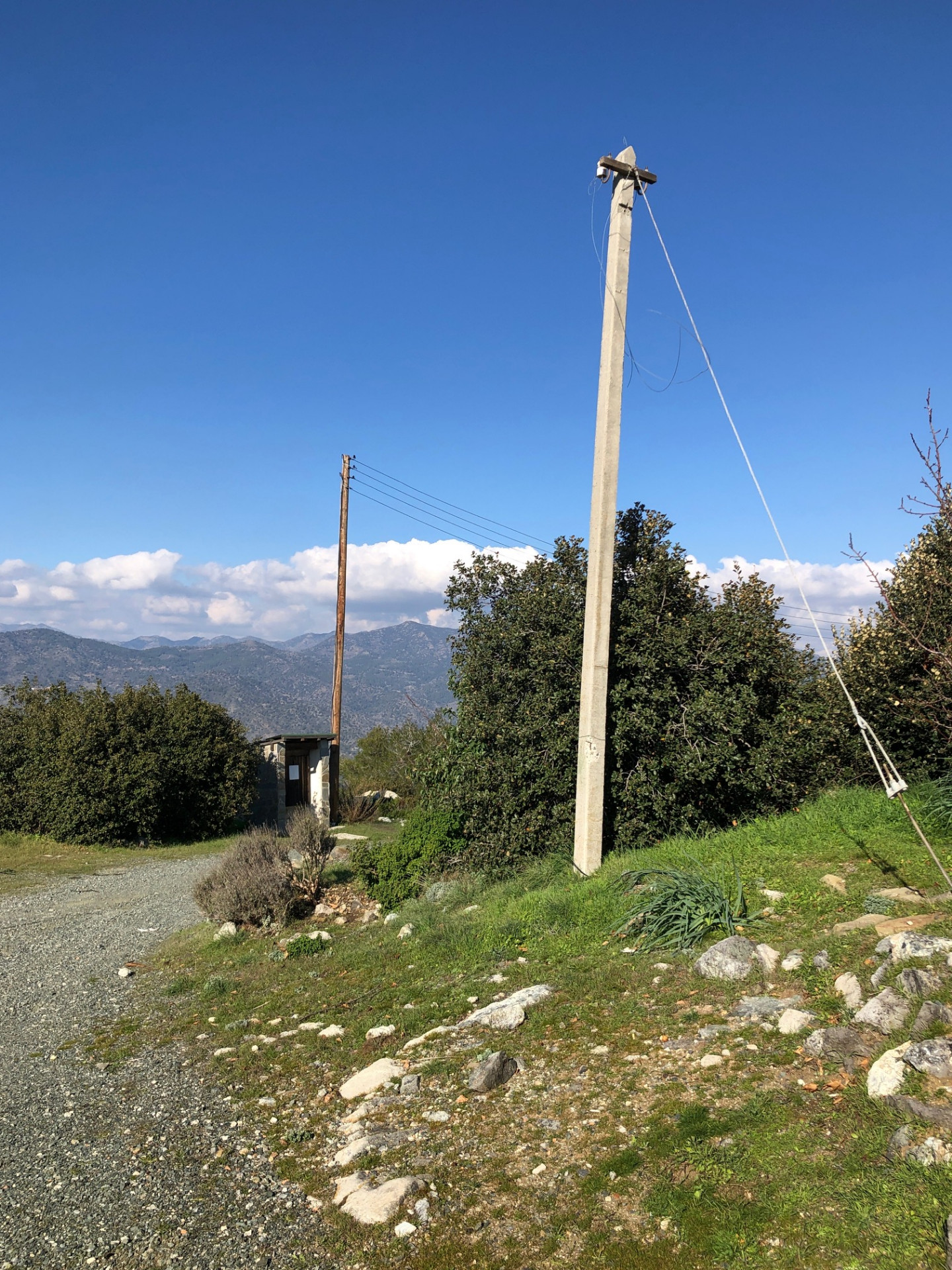
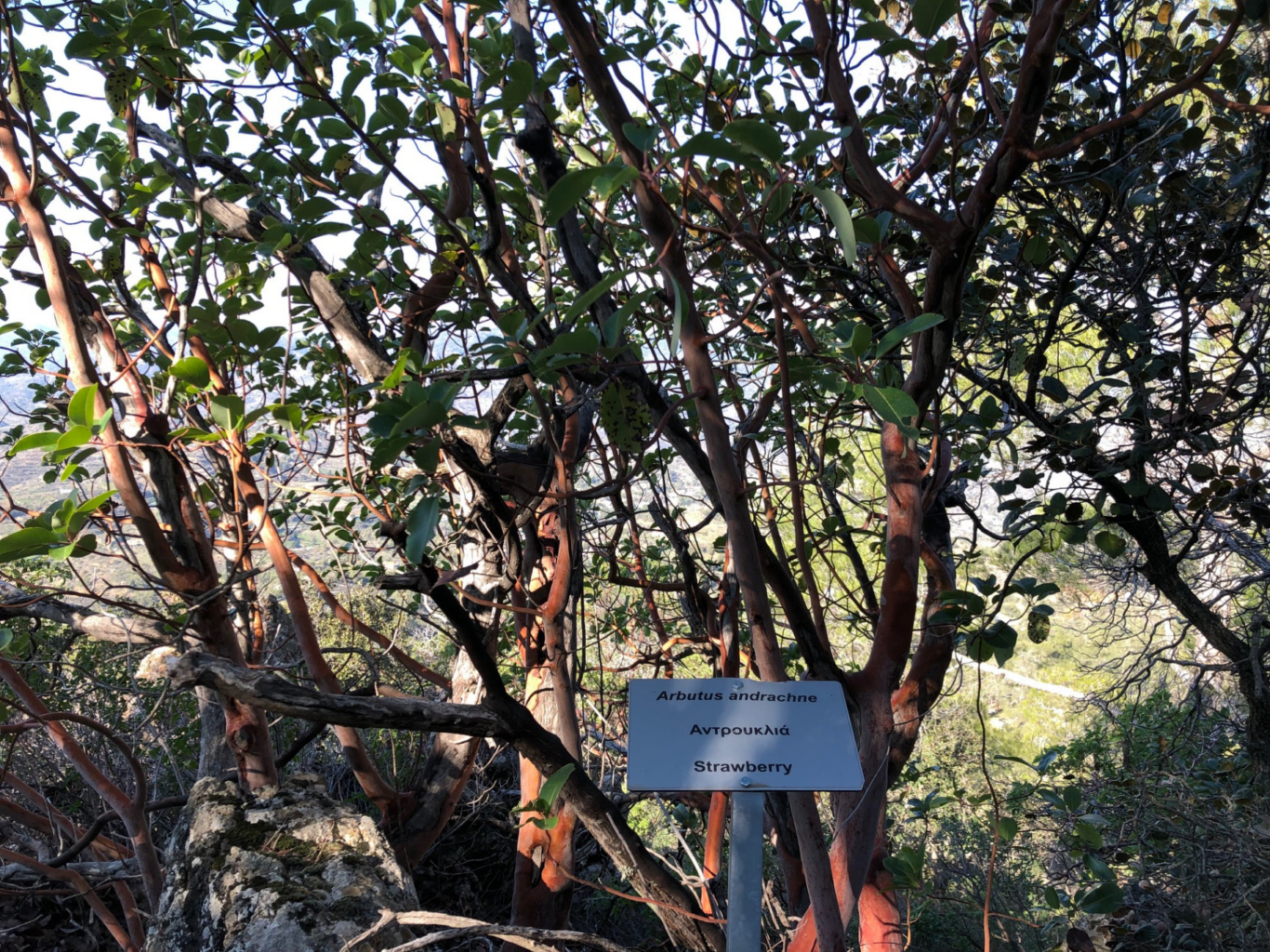
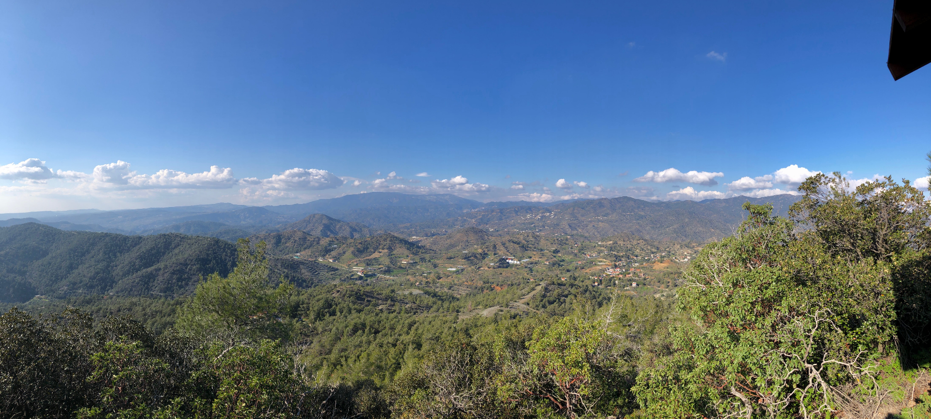
Drag sideways to see more photos
Transport story
How do you get to Fasoula without a car?
If you're coming from Limassol, there are two ways in.
- Option one
- Bus 50 from Limassol Central Station, then change to the 50P from Paramytha to Fasoula
- Option two
- Bus 9 to Palodeia Community Board, then walk the dirt road to Fasoula — about 3.8 km, roughly an hour
Trail notes
If you're planning to walk it
Access
Bus 50 from Limassol brings you to Fasoula with one change, arriving at 08:19. The bus stop is right where the walk starts, so there is no walk in. Getting back is the tricky part: on weekdays the last bus out leaves at 16:31, on Saturday no bus runs at all, and on Sunday you only arrive at 11:57. If those times do not suit you, take Bus 9 to Palodeia Community Board and walk 3.8 km of dirt road to the village — about an hour.
Read more
Start from the 2nd Fasoula stop — trail and bus share a corner, which is still the kindest thing a Cypriot trailhead can do. From Limassol, take Bus 50 toward Agros, get off at the 5th Paramytha stop (07:44 off the 07:30 from EMEL station on weekdays) and change to the 50P, which reaches the 2nd Fasoula stop at 08:19. Going home, the 50P leaves the 2nd Fasoula stop at 06:22, 07:11, 09:22, 14:52 and 16:31 on weekdays — the 16:31 is the day's deadline: Paramytha at 16:50, the 50 back to Limassol at 17:13. There is no 50P at all on Saturday. On Sunday the only workable chain puts you in Fasoula at 11:57, with the last return at 16:20. The alternative is Bus 9 to Palodeia Community Board, then a 3.8 km dirt-road walk to the village — about an hour, and the way I usually arrive.
Best season
Hike here from late autumn to early spring — that is when the walking is pleasant. Summer is hot: the first bus arrives at 08:19 and the ridge above the forest has no shade, so carry extra water and decide early when to turn back. Winter is cold and quiet, with frost in the shady corners.
Read more
Shade comes in patches: twenty-four of the fifty tree-cover samples along the route fall inside mapped woodland, and the ridge above the forest line has none of it. The climb is real — from 366 to 972 metres, with 36 of 214 profile samples at ten per cent or steeper. Late autumn to early spring is the honest window; my December walk ended with the last sunset of the year at the picnic site. In summer, the first bus puts you in Fasoula at 08:19, already warm — carry extra water and be honest about your turnaround. Winter is quiet and cold, with frost in the shaded corners — I have stood on this ridge in winter, and it is beautiful.
Navigation
This is a custom long-distance route; it only crosses the F128 and otherwise follows forest tracks and older paths. A downloaded offline map is enough — phone signal is spotty past kilometre 8. Some stretches may share designated or waymarked paths, but the route as a whole is my own line, so don't expect continuous signs — follow a downloaded GPS track.
Water & food
There is reliable water at the Kakomalis picnic site. Carry at least 2 L between stops in winter, more in shoulder season, plus enough food for a full day out.
A good place to refill, rest in the shade, and eat before the final push to the ridge or the descent back to the village.
Support this documentation
Keep car-free access information open to everyone.
Your support helps turn bus journeys and days on foot into freely available GPS records, photographs and access observations. Contributions help with field transport, food, water, equipment and publishing; the information remains free whether or not you contribute.
Buy me a coffee