
Fasoula, Cyprus · July 2026
Fasoula to Alona and back
A single summer day, 64 kilometres of mountain asphalt, and the slow realisation that my legs could outlast the sun.
Car-free access to the start
The walk after the bus
- Nearby bus stop in the snapshot
- 2nd Fasoula
- Estimated access walk
- 0.10 km · ~2 min
- Walking-distance indicator
- Easy
This is the connection to the hike's start, not the full hike. A nearby stop does not guarantee a bus at your chosen time.
Sources and missing information
- Access source
- Stored walking-route estimate and official bus-stop snapshot
- Hike recorded
- July 2026
- Transport story checked
- Not documented
- Access snapshot verification date
- Not documented
- Access-walk ascent
- Not documented
- Access terrain and road safety
- Not documented
- Access water availability
- Not documented
- Bus service frequency
- Not documented
Distance is not a safety rating. Check current buses, access, weather, daylight and water; remote or hazardous terrain may require turning back.
64.3 km
Distance
2,070 m
Elevation gain
—
Peak
One day
Duration
Paved mountain roads
Terrain
July 2026
Date
Extreme · 64.3 km, 2,070 m in one day
Difficulty
Mostly strong · weak in the Apsiou–Louvaras valley and on the last climb to Alona after Agios Theodoros
Mobile signal
Overview
The story of this trail
The plan was to be in Alona by around 8:00, without using a car. Google Maps offered me a solution that read like a puzzle: the 50P out of Fasoula, the 50 to Limassol Central Station, a 1.1 km walk to the church of Agios Antonis, the intercity bus towards Nicosia to Solomos Square station, a change at Solomos Square C for bus 2, and then one more change at Tamasos bus station for the final stretch to Alona. I would have arrived at about 13:55 — and getting back would have been its own struggle.
So I chose the other way: my own legs. I started walking at 2am, with 32 kilometres of mountain road between me and Alona, and I was there at 8:09 — nine minutes off my target and hours ahead of any bus. I spent the morning exploring the Petros Vanezis trail, and let the village be a destination instead of a stop on someone else's route.
By 8:41 I was ready to head back. The next bus out of Alona was the 11:01, and Google recommended waiting for it — with its changes, it would have put me back at the starting point at about 17:18. This was before I built the Where the Bus Ends map, which would have told me something better: walk 10 km to Agros, catch bus 50, and be home around 12:34. At the time I just did the maths on my own ability, and my estimate was 16:00.
The road back was the hardest part of the day. The blisters found me somewhere in those long kilometres, but I kept moving, and I walked into Fasoula at 15:28 — nearly two hours faster than Google's public transport plan, and slightly faster than an untrained person walking the same route, who would arrive at about 16:44. It was tough, and it was worth it.
Transport story
How do you get to Fasoula without a car?
If you're coming from Limassol, there are two ways in.
- Option one
- Bus 50 from Limassol Central Station, then change to the 50P from Paramytha to Fasoula
- Option two
- Bus 9 to Palodeia Community Board, then walk the dirt road to Fasoula — about 3.8 km, roughly an hour
The route
Milestones from start to finish
Burned August 2023
Dashed red outline · Sentinel-2 before/after the fire
Fasoula to Alona and back
Drag to move · scroll to zoom
Elevation & steepness
366–1383 m
Distance
64.3 km
Elevation gain
2,070 m
Elevation loss
2,070 m
Highest point
1383 m
Lowest point
366 m
Steepness by distance
Major climbs & descents
The most significant sustained climbs and descents along the route.
Major climbs
Major descents
Road type
How the route is classified across its full distance.
Weather along the route
Loading the forecast…
Sun & shade through the day
Sun & shade mixShade category · from mapped tree cover along the routeCurrent date and time: …
Working out the sun along the route…
From the trail
Moments from the walk
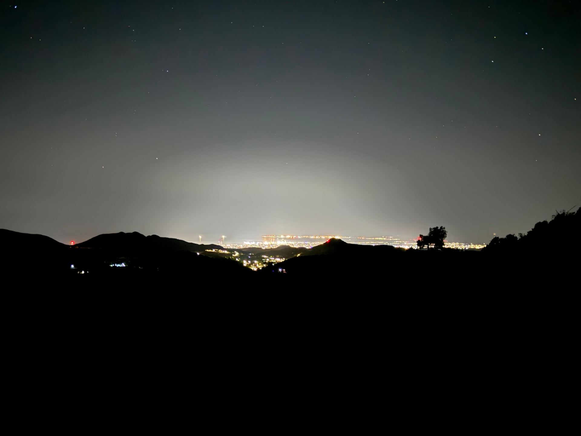
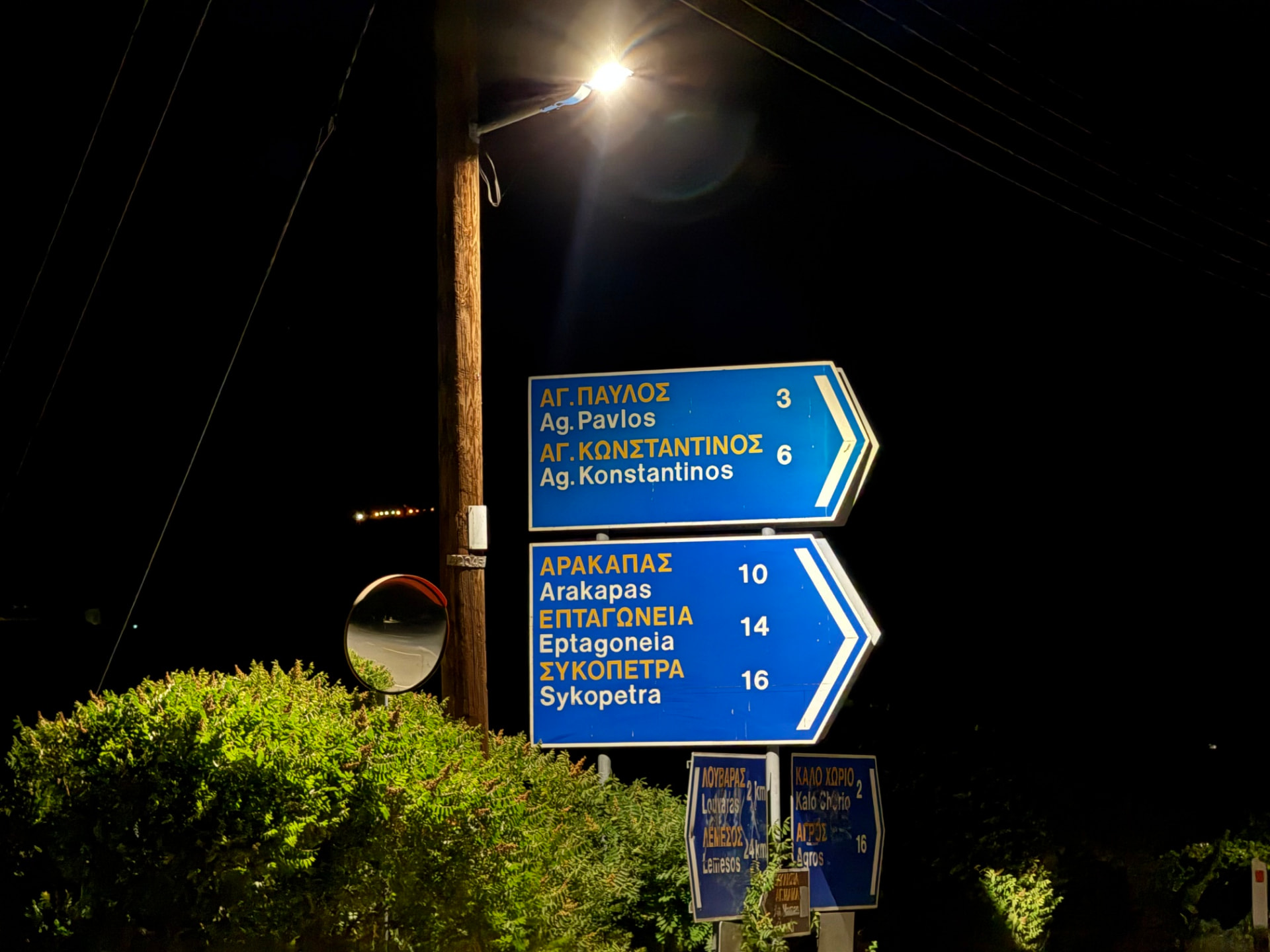
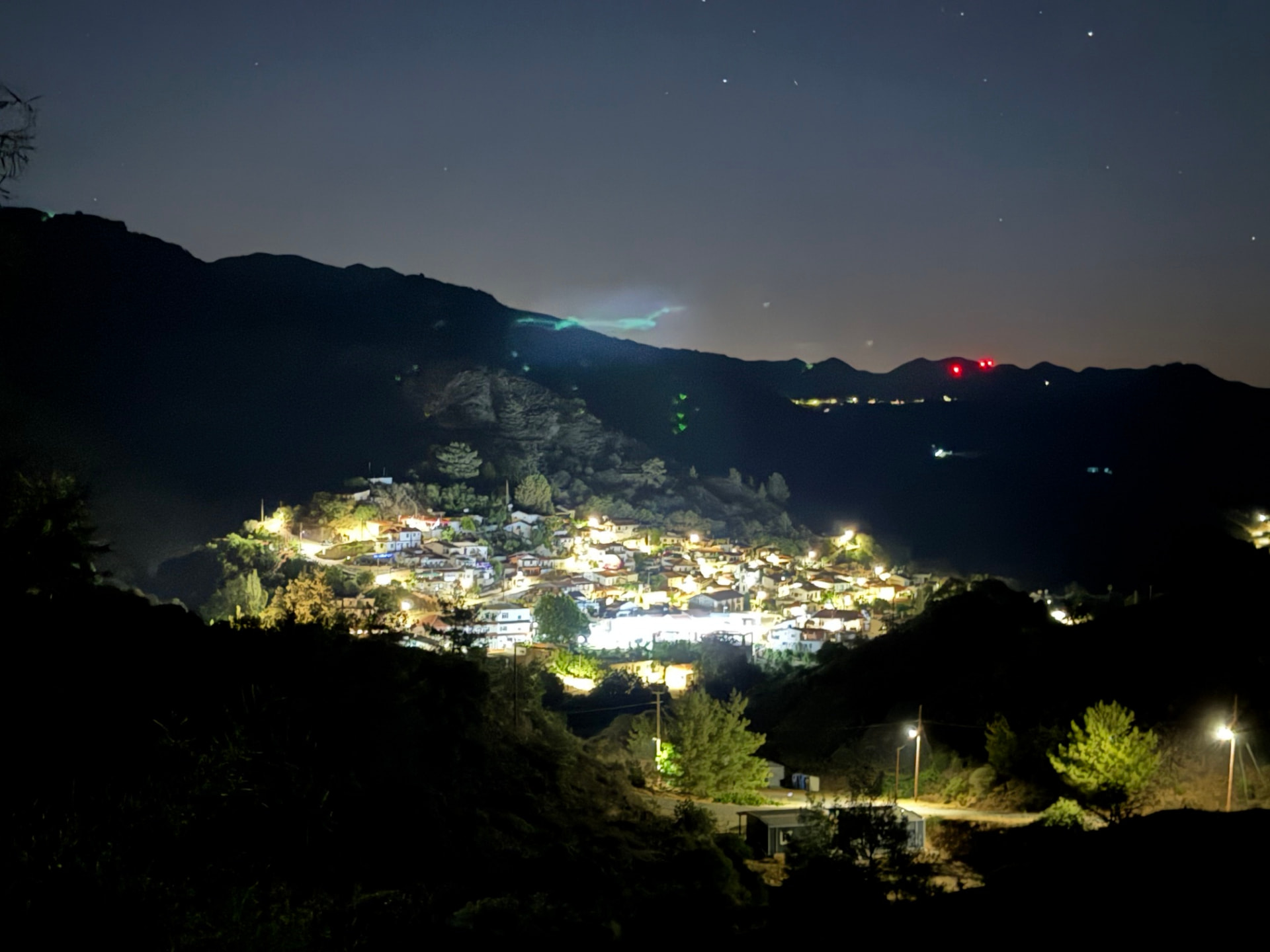
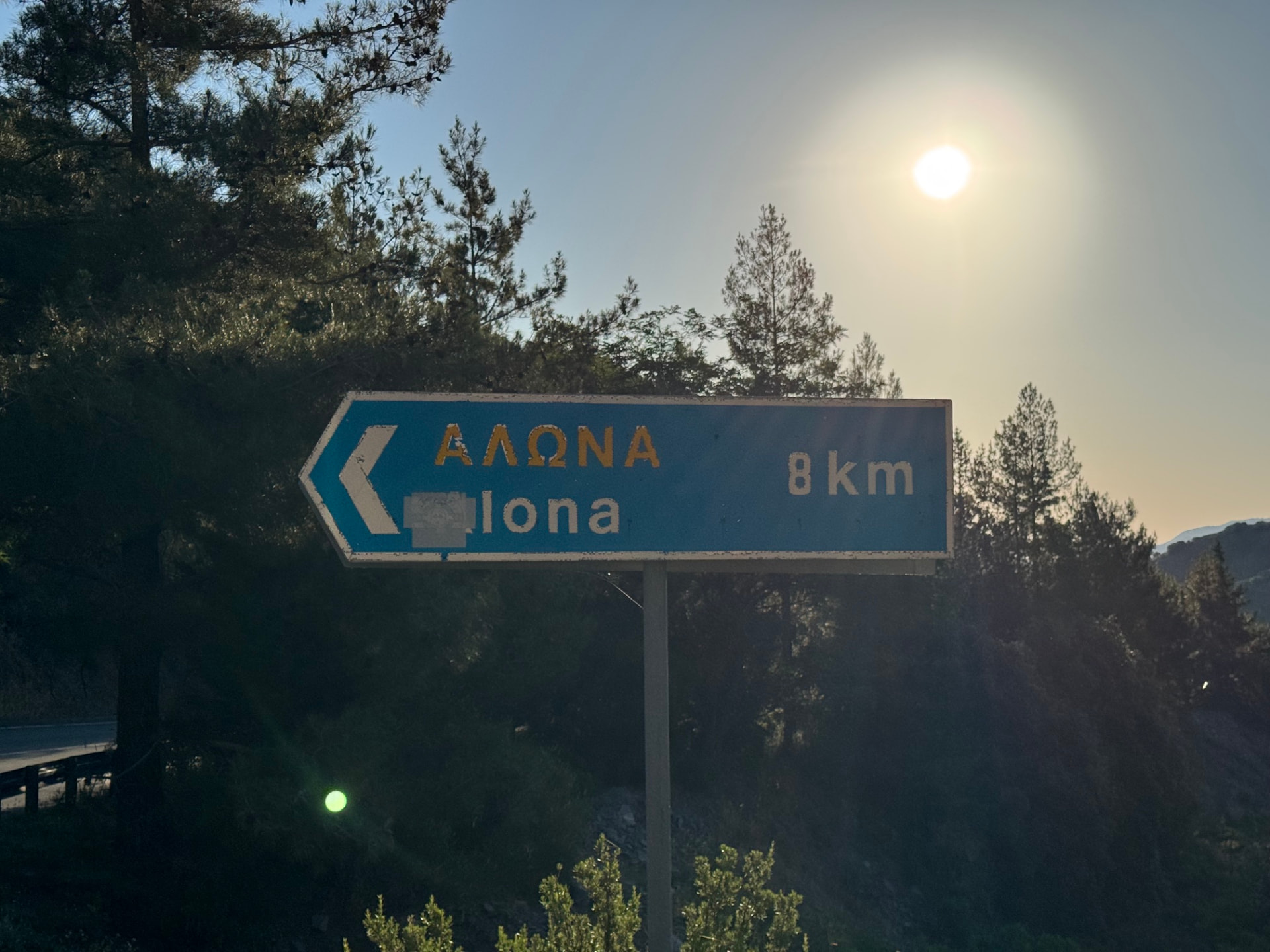
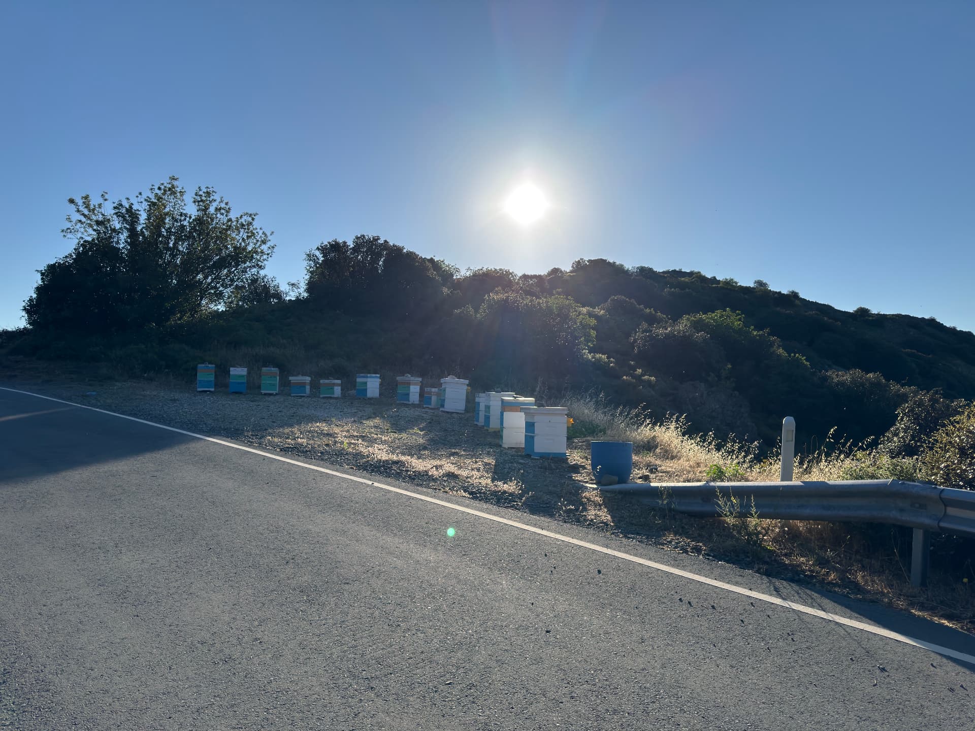
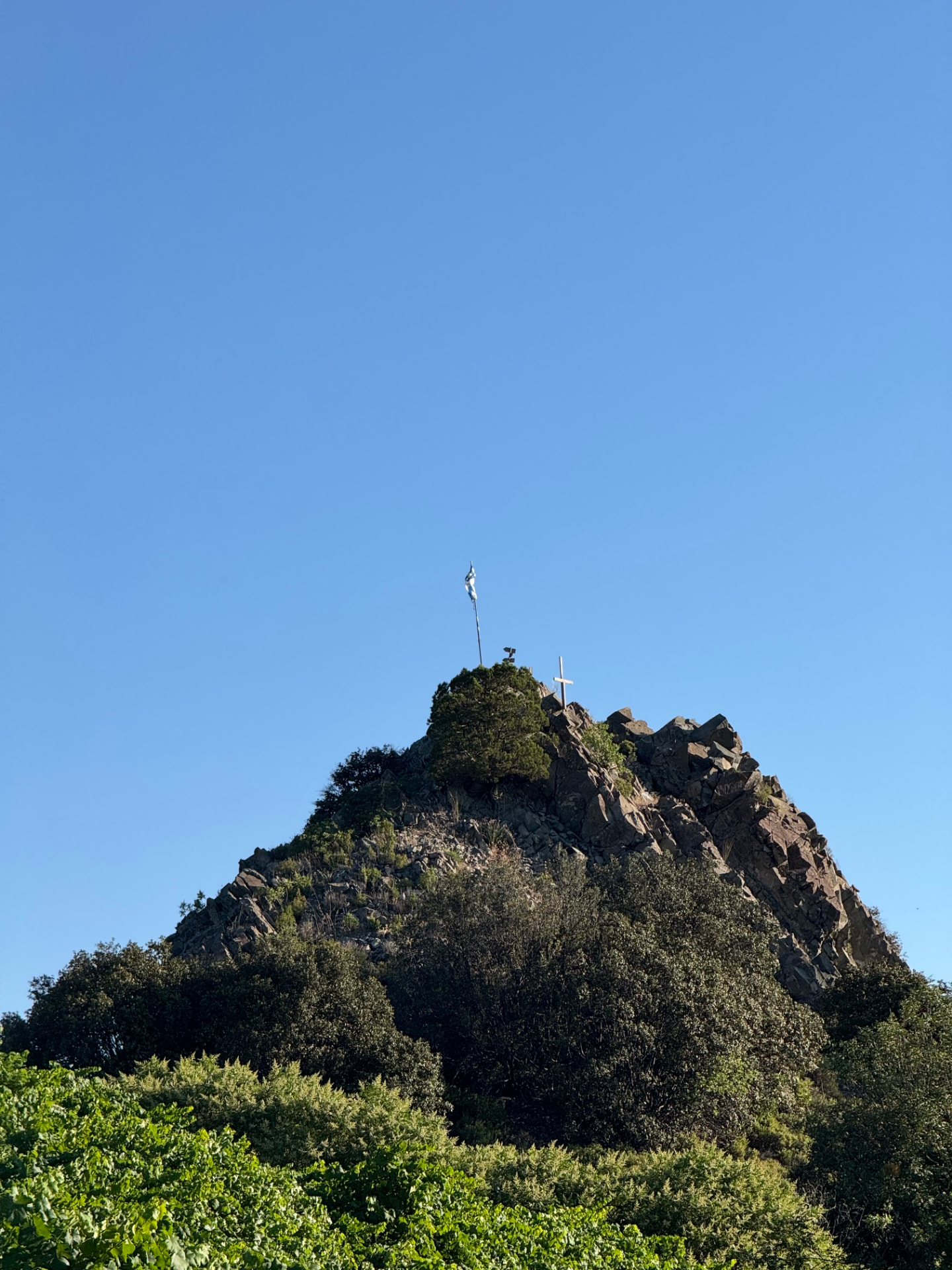
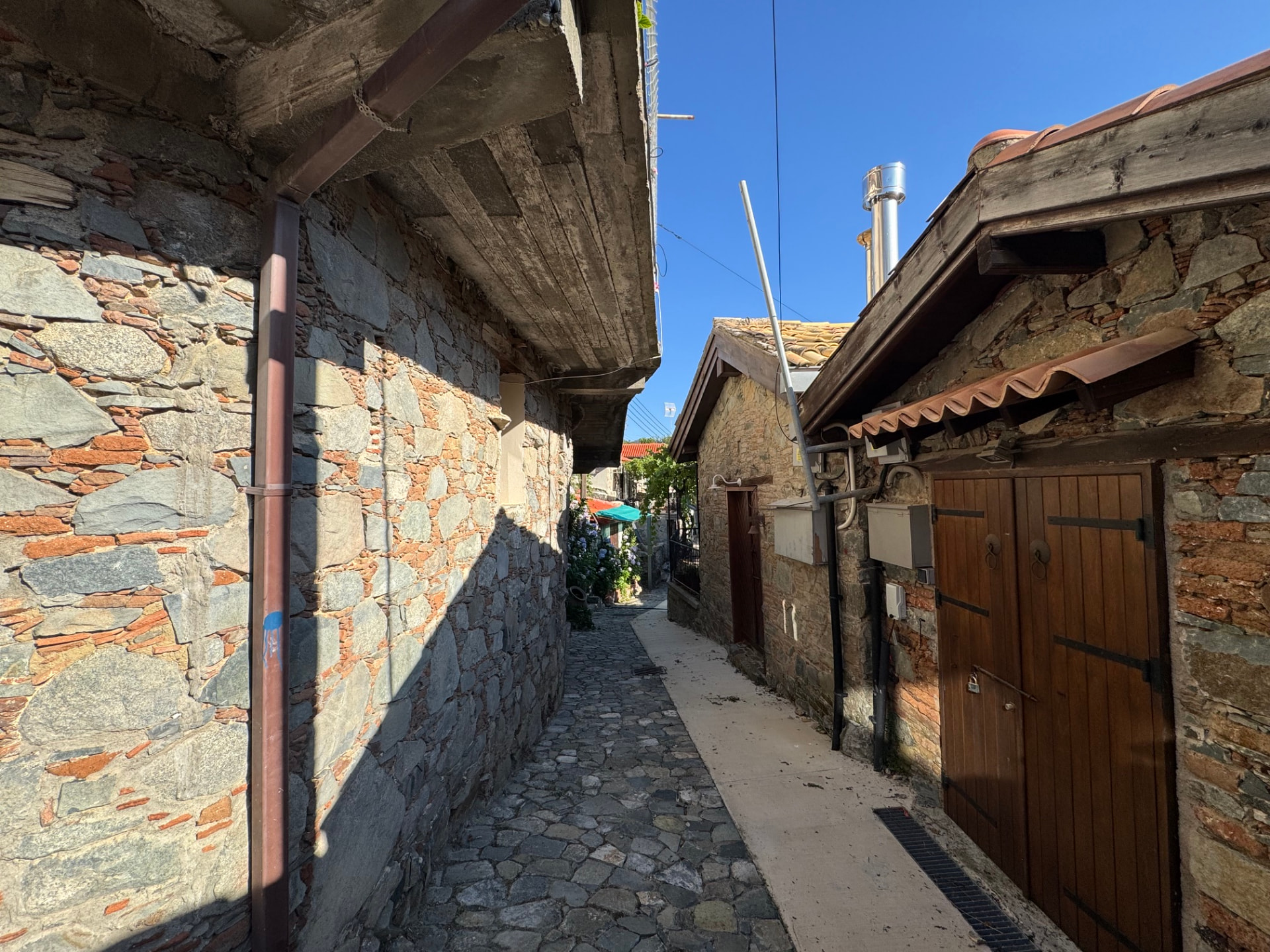
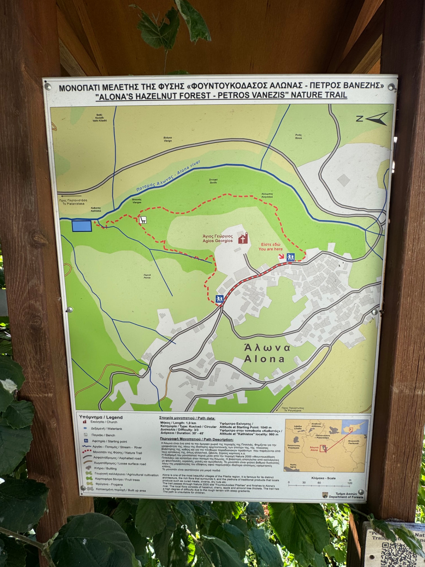
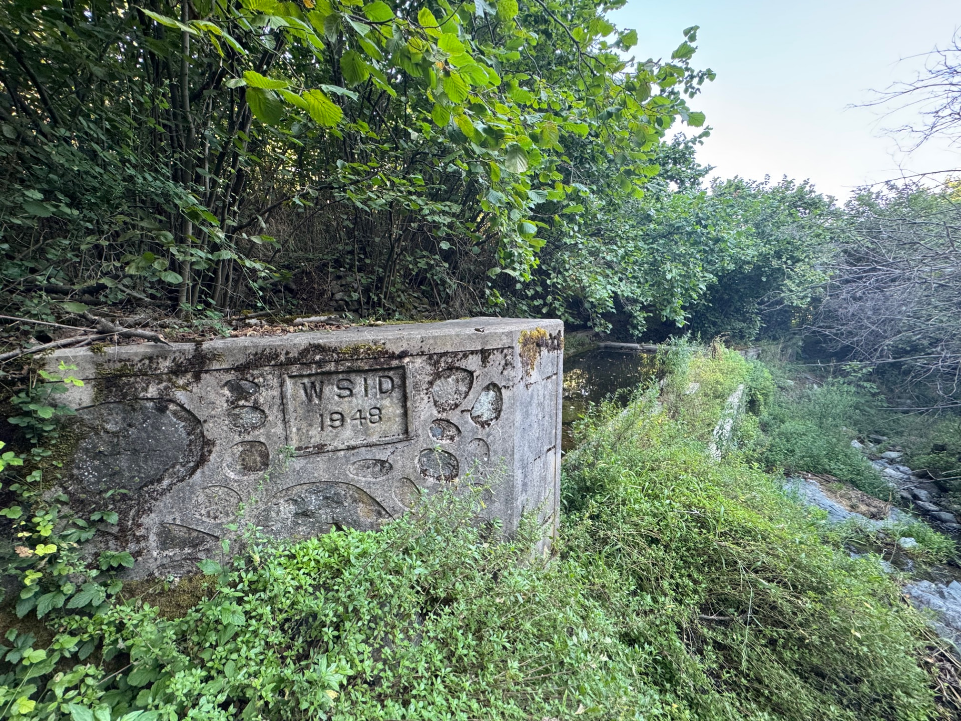
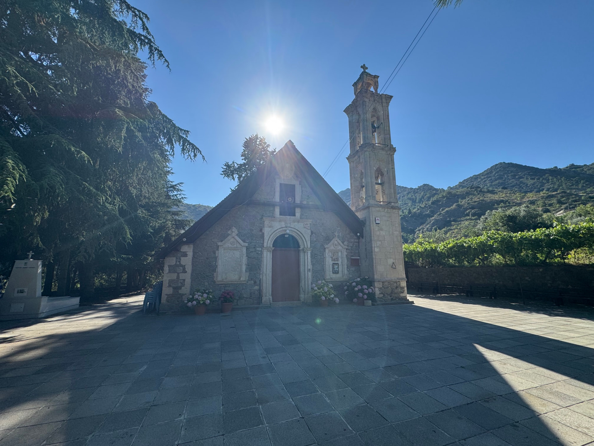
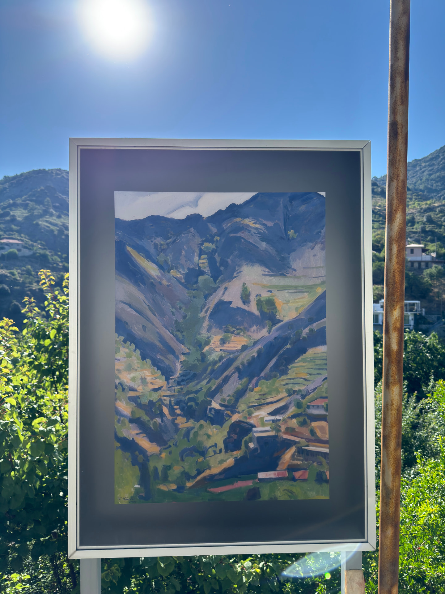
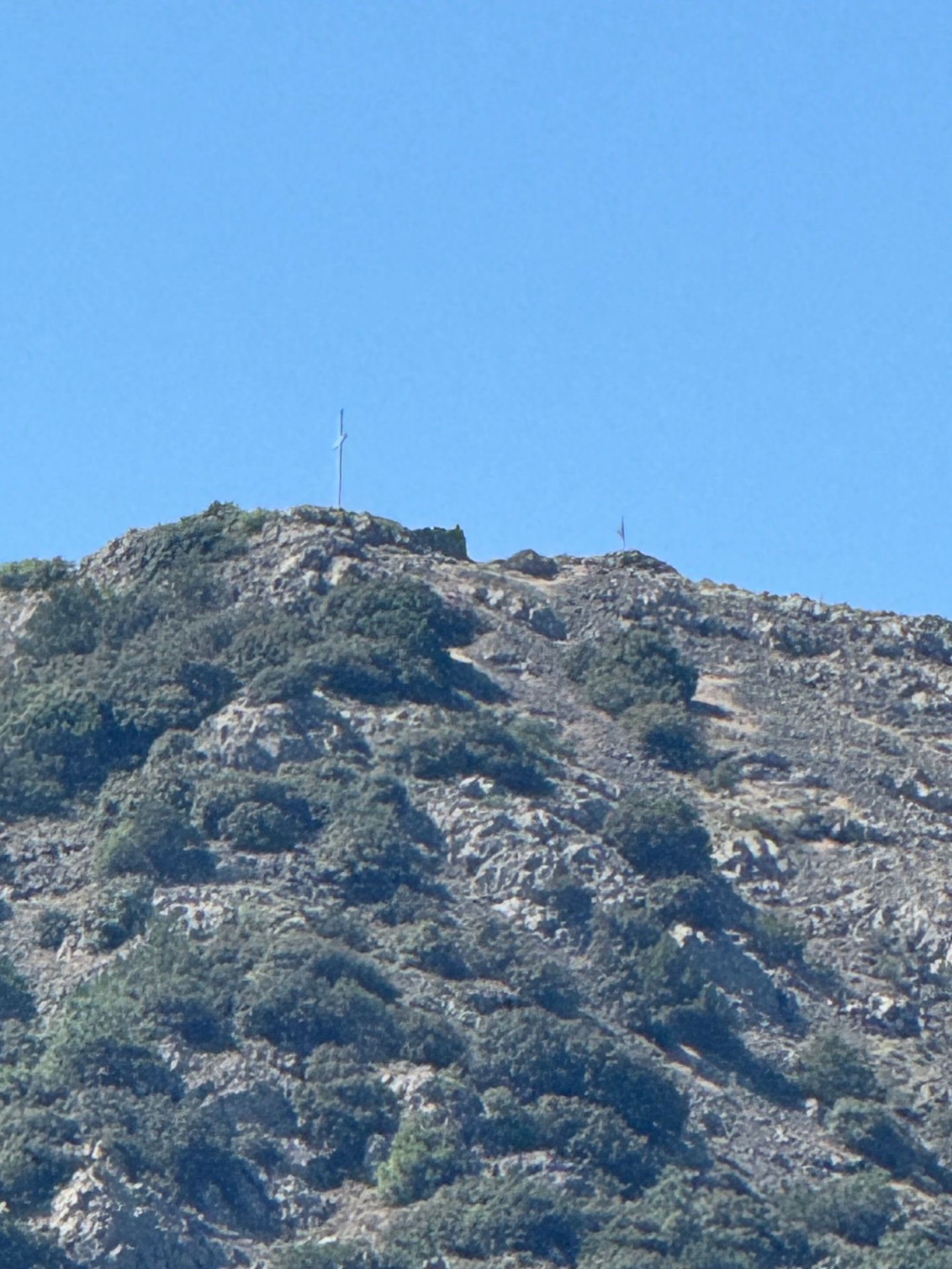
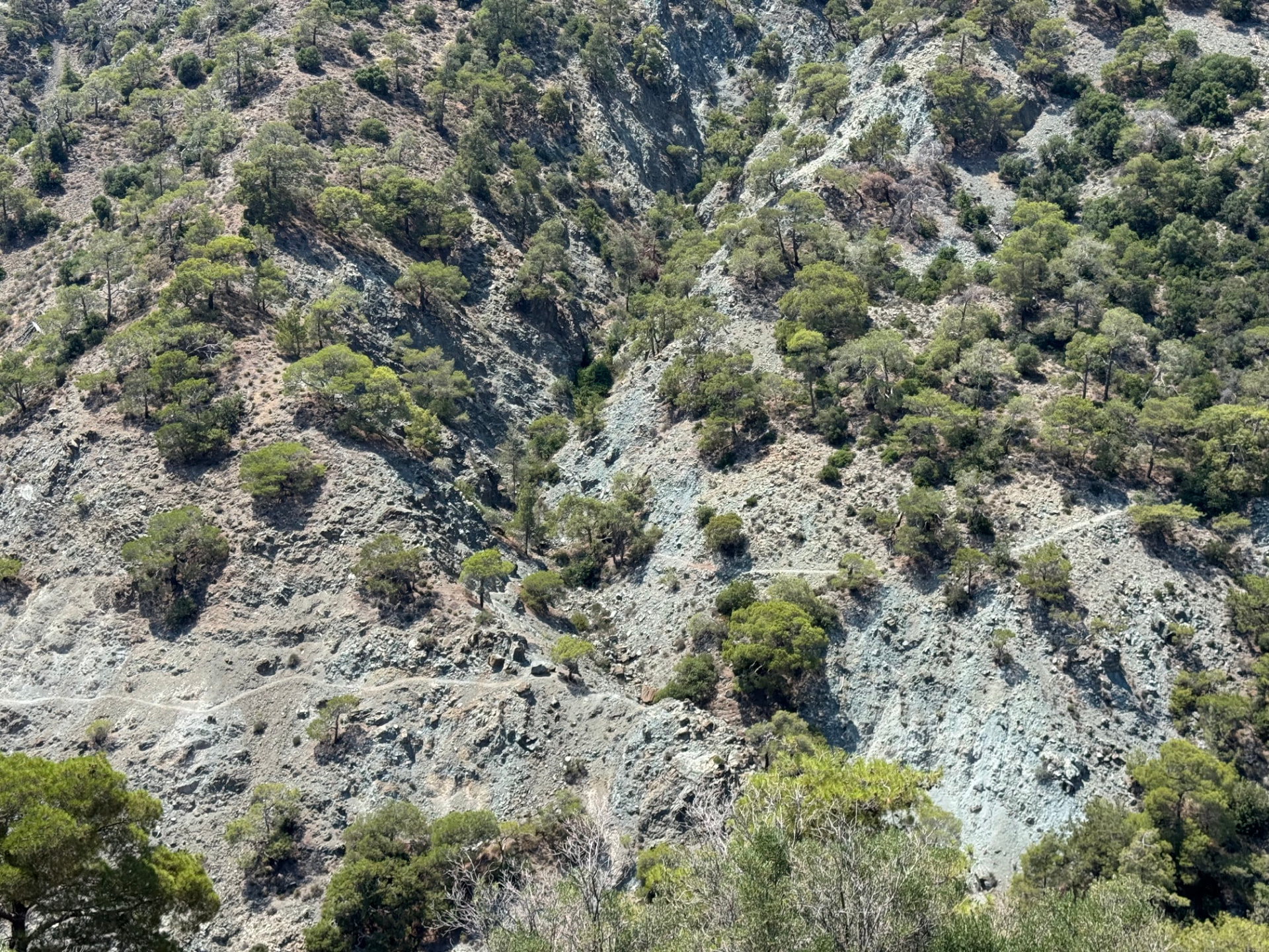
Drag sideways to see more photos
Trail notes
If you're planning to walk it
Access
The trailhead is a two-minute walk from the 2nd Fasoula bus stop. Bus 50 from Limassol connects to the 50P into Fasoula, but there is no Saturday service. The finish is far in the mountains, away from any bus — the way home is on foot.
Read more
The walk starts at the 2nd Fasoula bus stop, about 100 m from the trailhead — a two-minute walk. From Limassol, take bus 50 from the Central Station and change at Paramytha for the 50P, which runs into Fasoula through Spitali. In the timetable snapshot this site uses, the 50P runs Monday to Friday and Sunday, with no Saturday service, so plan on a weekday or Sunday. The first 50P reaches Fasoula at 08:19 on weekdays and 11:57 on Sunday, which is a late start for a 64 km day; if you want to be on the road earlier, take bus 9 to the Palodeia Community Board stop and walk the dirt road down to Fasoula — about 3.8 km, roughly an hour. The return is on foot, but if you need to finish early, Alona has its own stops on bus 61, which runs north through Polystypos and Mitsero towards Nicosia and does not come back to Fasoula.
Best season
Hike in April or October. Summer is doable but hot.
Read more
Spring and autumn are the best months here. The road climbs from about 366 m in Fasoula to roughly 1,380 m near Alona, so the upper half stays cooler than the valley, and in April or October the days are long without the light turning harsh. I walked it in July: doable, but the sun was the real opponent and the water stops set the pace — the fountain on the F139 between Zoopigi and Agios Theodoros, and the source by Saint George Church in Alona. In summer, start before sunrise and carry more water than you think you need. Winter is mild in the valley and cold up top, where a high road can hold frost, and a 64 km day eats daylight, so from November to February an early start is essential.
Navigation
This is a custom long-distance route on paved mountain roads, not a designated trail. Village road signs, such as the Alona arrow, help on the way, but much of the outward walk starts in darkness, so carry a headlamp and keep an offline map ready. Some stretches may share designated or waymarked paths, but the route as a whole is my own line, so don't expect continuous signs — follow a downloaded GPS track.
Water & food
There is a water fountain on the F139 road between Zoopigi and Agios Theodoros, and another water source in Alona village near the Saint George Church.
Support this documentation
Keep car-free access information open to everyone.
Your support helps turn bus journeys and days on foot into freely available GPS records, photographs and access observations. Contributions help with field transport, food, water, equipment and publishing; the information remains free whether or not you contribute.
Buy me a coffee