Pyrga, Cyprus · October 2024
E4 Segment: Pyrga to Delikipos
A beautiful section of the European Long Distance Path E4, winding through the hilly countryside.
Car-free access to the start
The walk after the bus
- Nearby bus stop in the snapshot
- Larnakos - 1st Pyrga Larnakas
- Estimated access walk
- 0.00 km · ~0 min
- Walking-distance indicator
- Easy
This is the connection to the hike's start, not the full hike. A nearby stop does not guarantee a bus at your chosen time.
Sources and missing information
- Access source
- Stored walking-route estimate and official bus-stop snapshot
- Hike recorded
- October 2024
- Transport story checked
- Not documented
- Access snapshot verification date
- Not documented
- Access-walk ascent
- Not documented
- Access terrain and road safety
- Not documented
- Access water availability
- Not documented
- Bus service frequency
- Not documented
Distance is not a safety rating. Check current buses, access, weather, daylight and water; remote or hazardous terrain may require turning back.
24.2 km
Distance
552 m
Elevation gain
Stavrovouni
Peak
One day
Duration
Fields & Mountainous
Terrain
October 2024
Date
Moderate
Difficulty
Usually strong
Mobile signal
Overview
The story of this trail
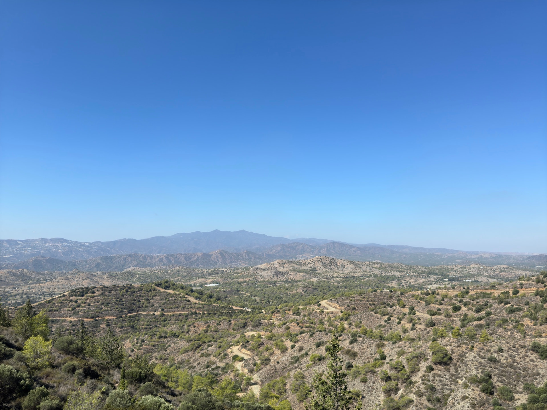
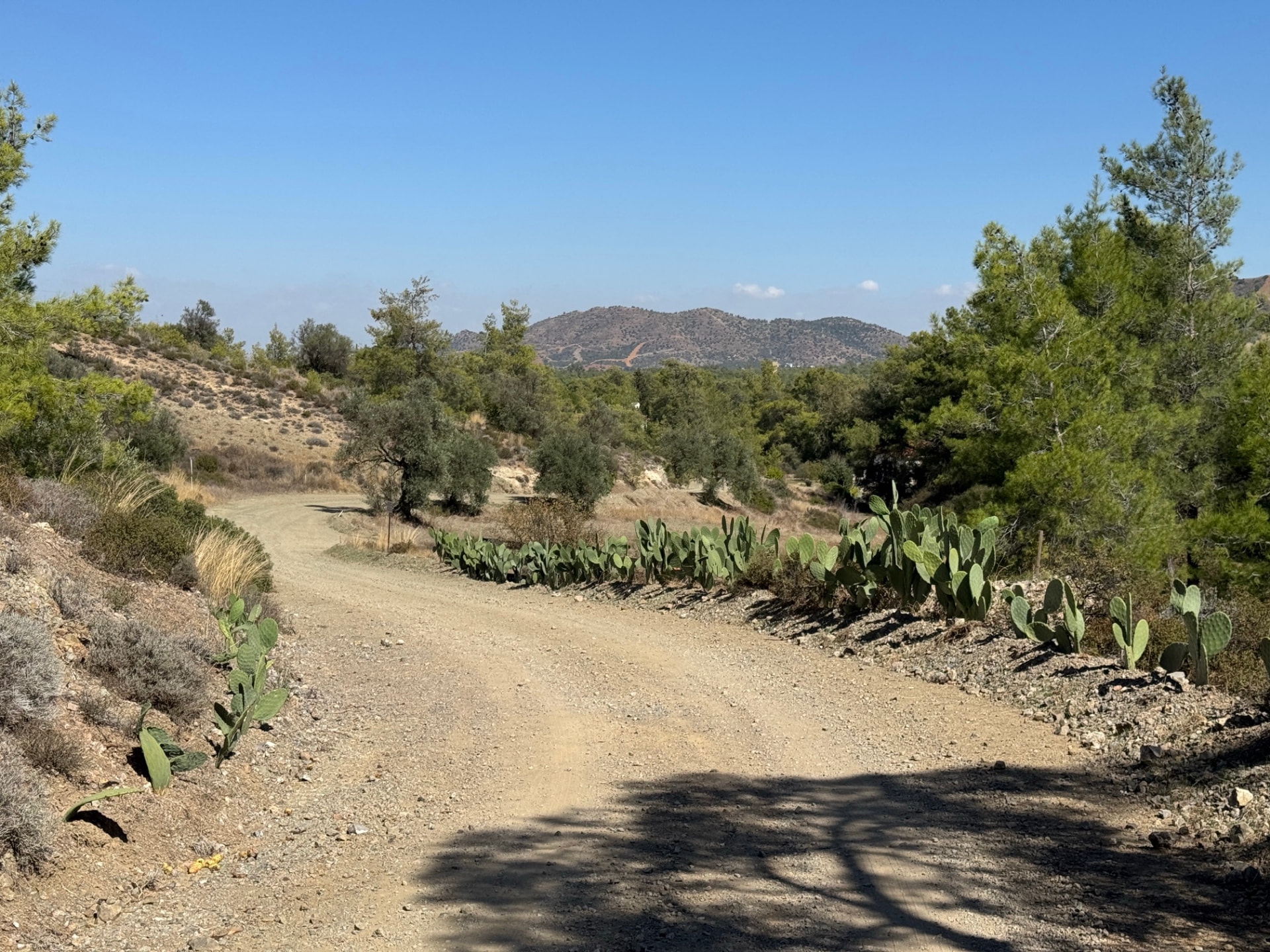
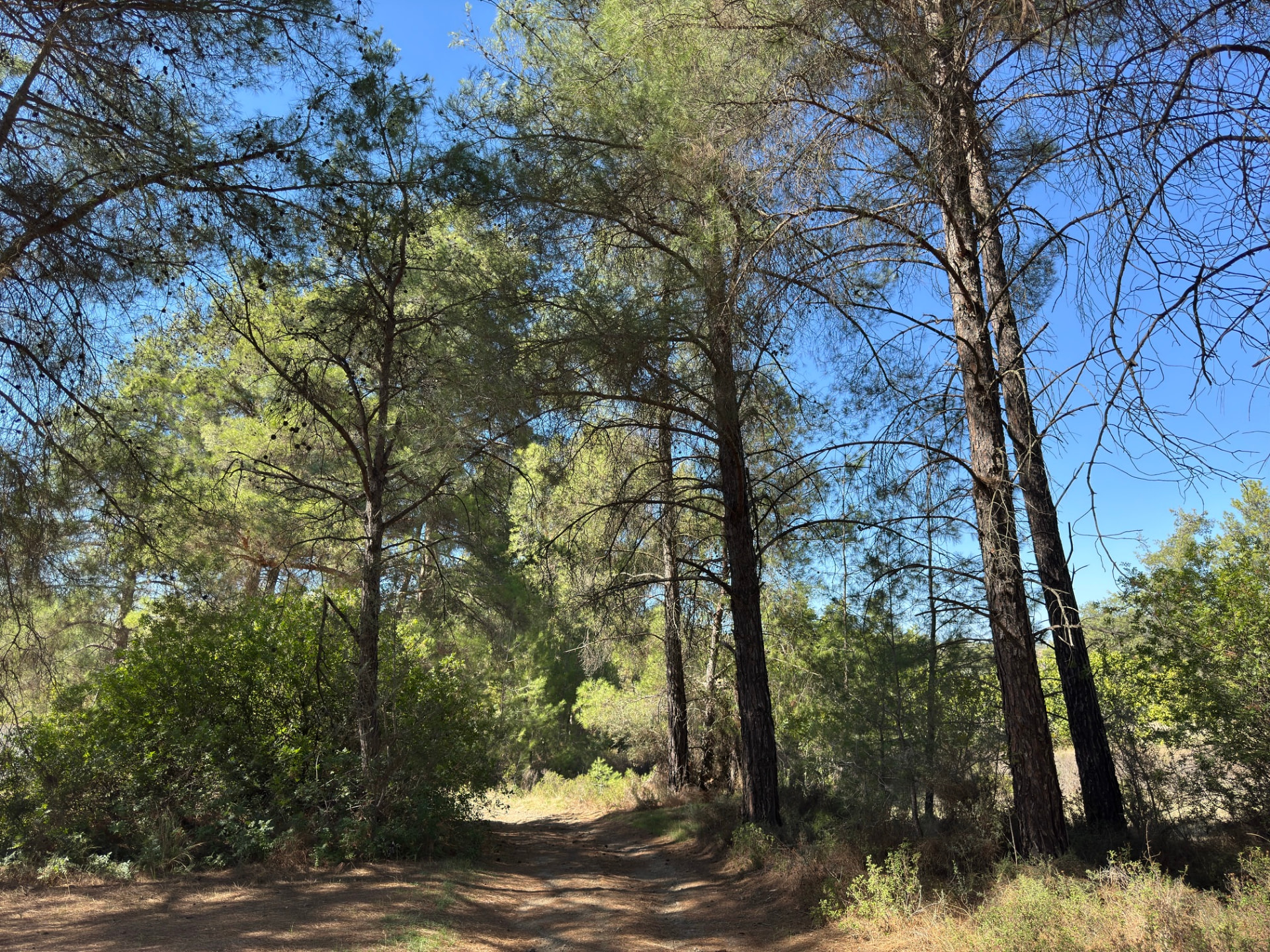
This stretch of the E4 crosses the low country between the Larnaca plain and the first foothills of Troodos. It starts in Pyrga, climbs over the shoulder of Stavrovouni, drops towards Kornos and finishes at Delikipos. It is not a day of one big summit but of farmland, pine-covered hills and long gravel tracks, with the view changing slowly as you walk.
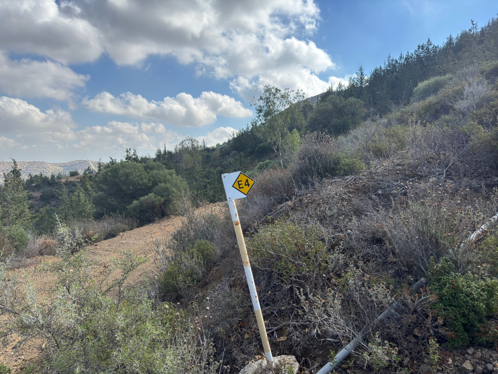
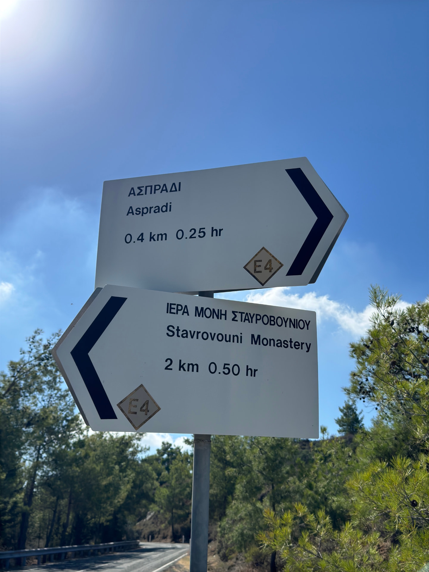
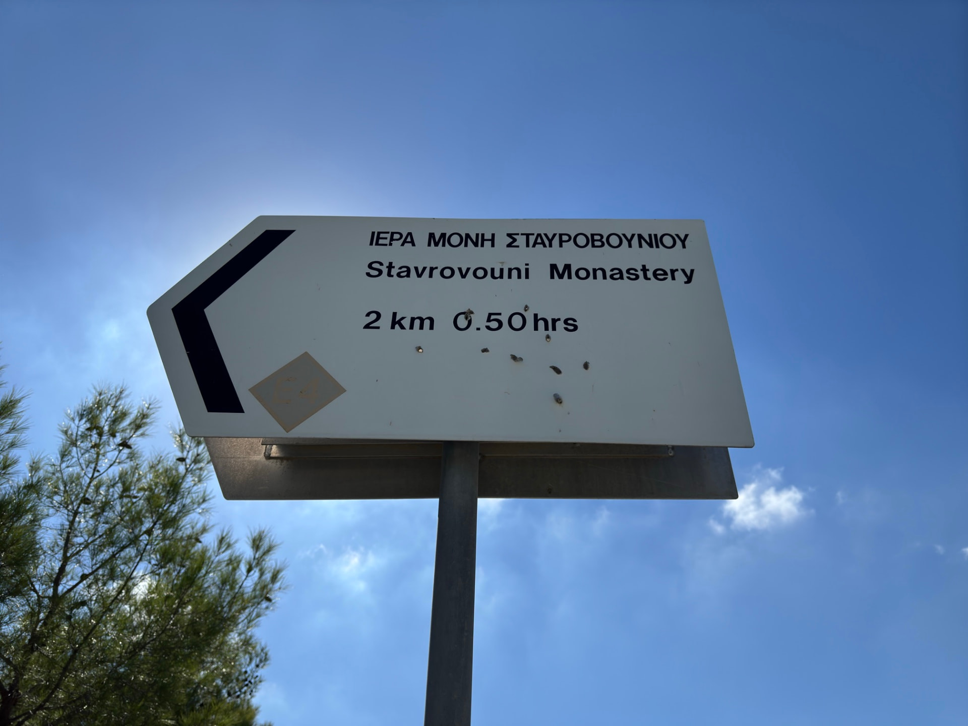
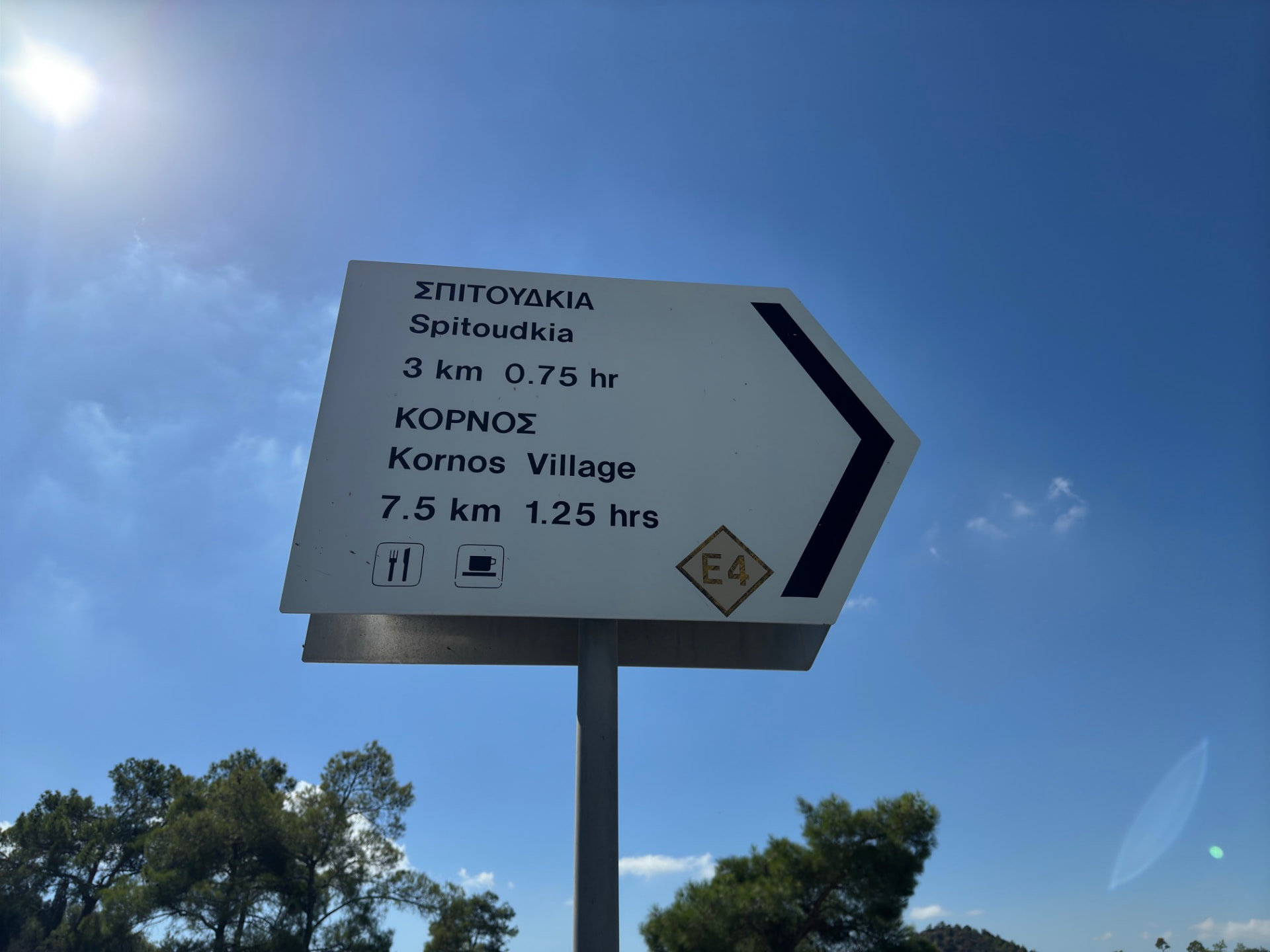
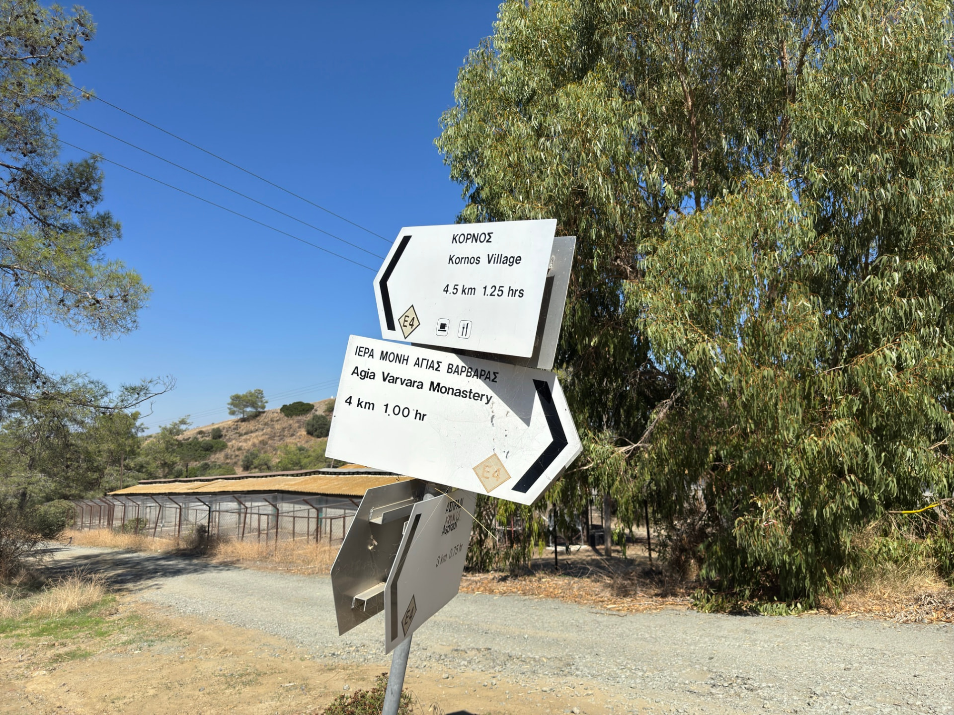
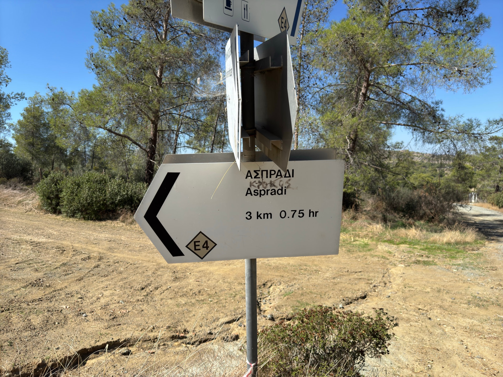
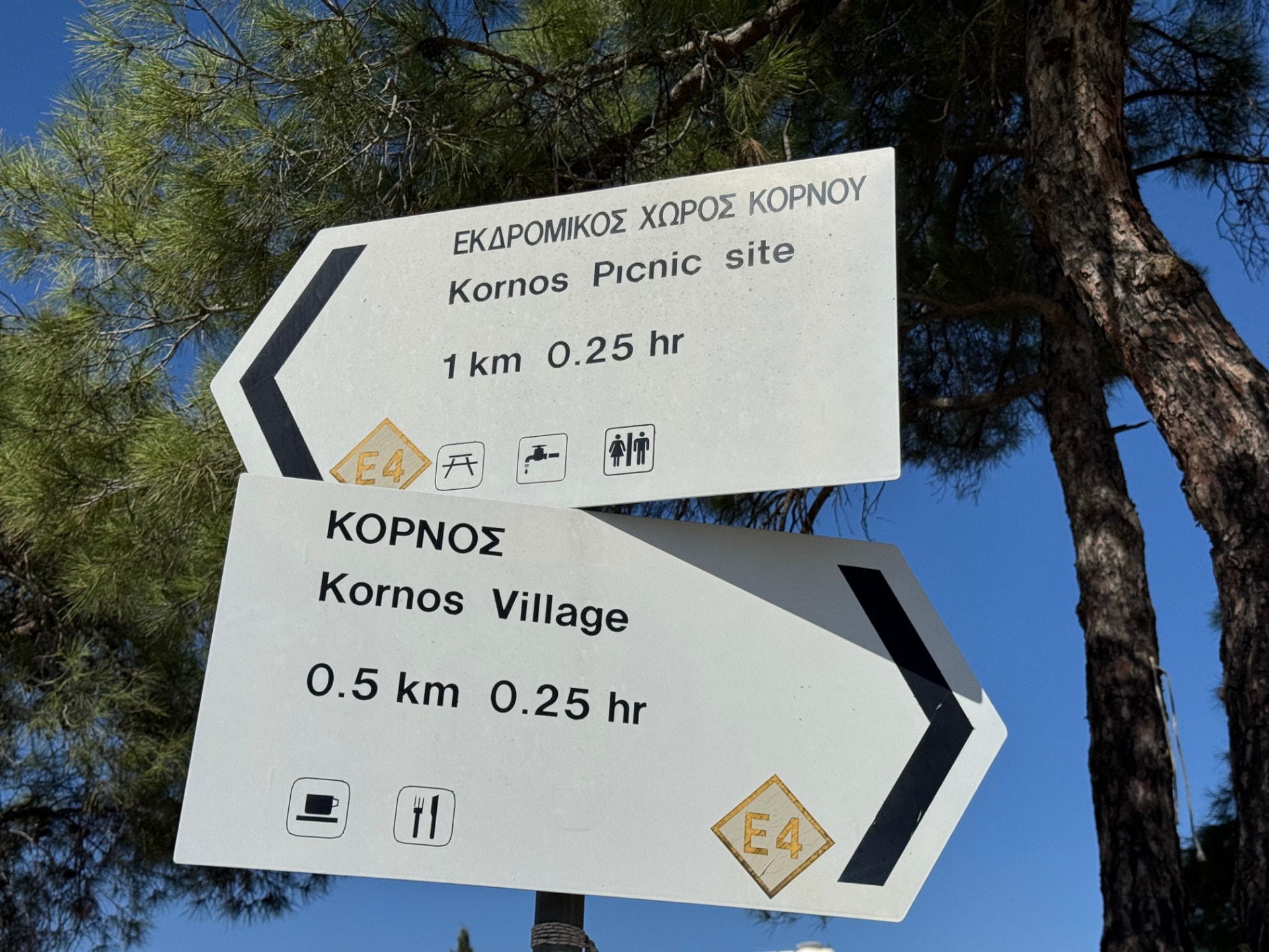
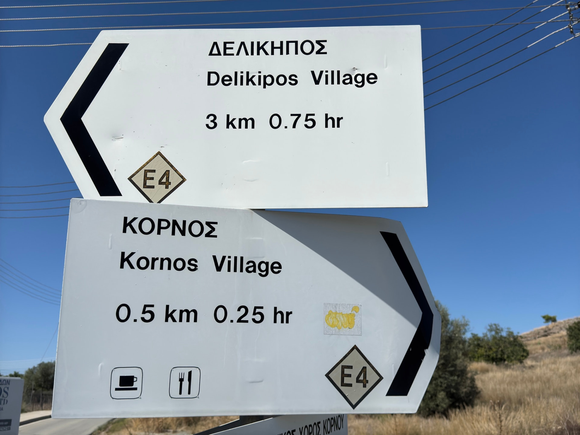
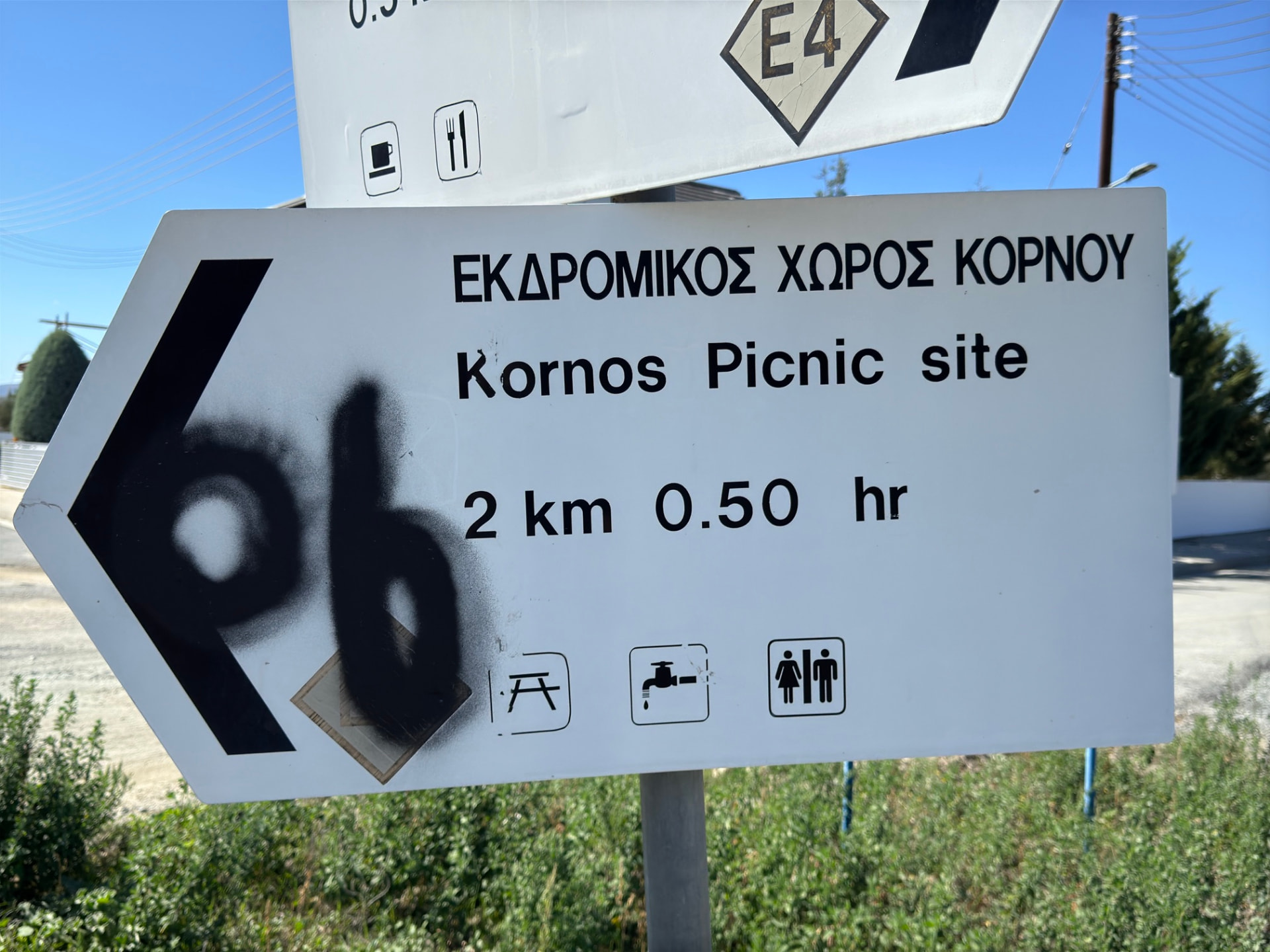
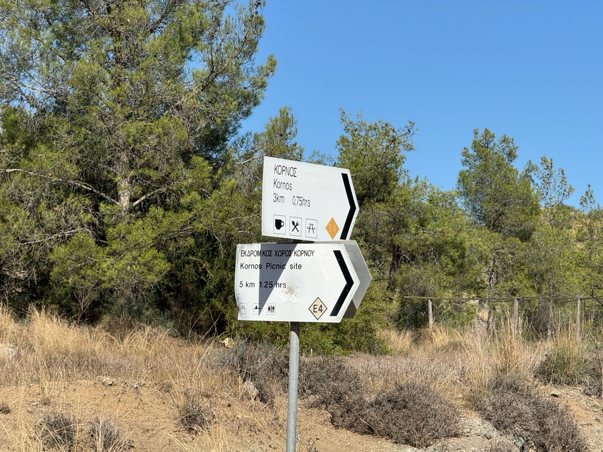
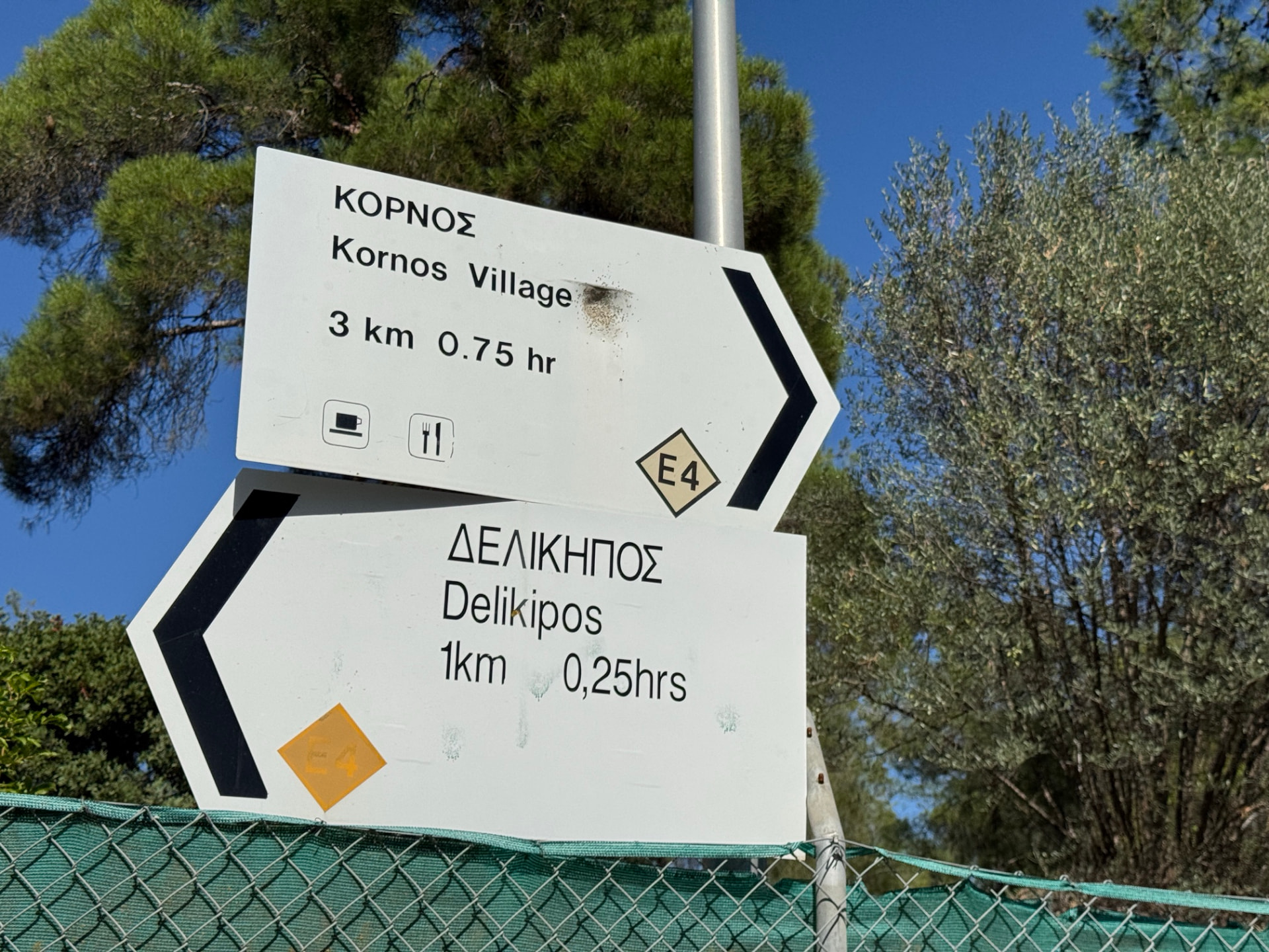
The E4 is a European long-distance path, and in Cyprus it runs across the island between the Larnaca and Paphos airports. On this section it mixes forest roads, dirt tracks and narrow paths. Small E4 markers and white signposts at the junctions show distances, and often walking times, to the next village or monastery.
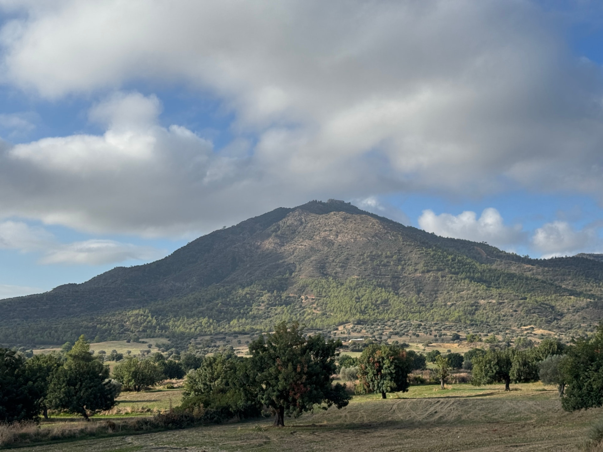
The heart of the day is Stavrovouni, the steep hill crowned by one of the oldest monasteries in Cyprus; tradition links its founding to Saint Helena in the 4th century. The path reaches the monastery at about 9 km. The monastery keeps strict rules, and traditionally only men may go inside, so check before you plan a visit rather than just a water stop.
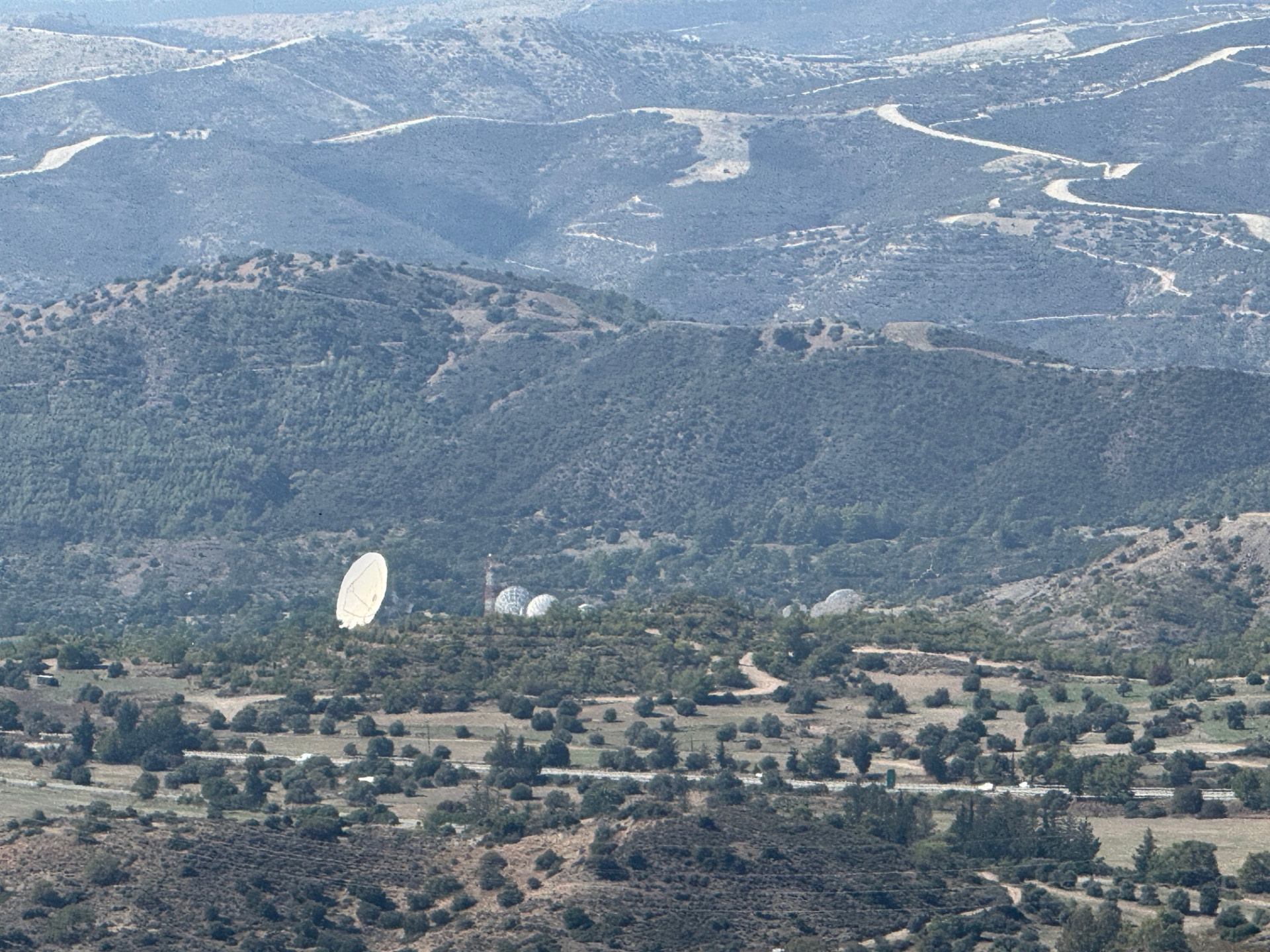
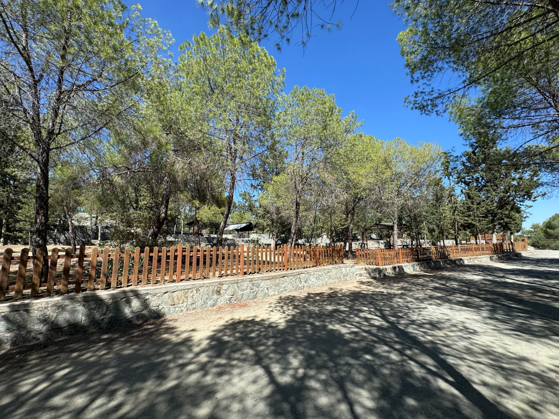
After Stavrovouni the walk eases into the forest trails around Kornos, passes the Kornos picnic site and ends near the Delikipos picnic site. My October 2024 recording covers 24.2 km with 552 m of ascent. Parts of the route pass close to mapped military areas, including a shooting range; the map shows them, and signs and fences on the ground always come first.
Sources: Monopatia.info — Cyprus trails · Wikipedia — E4 European long distance path · Wikipedia — Stavrovouni Monastery
The route
Milestones from start to finish
E4: Pyrga to Delikipos
Drag to move · scroll to zoom
OpenStreetMap boundaries · not live firing notices. Obey signs and barriers; mapped areas may be incomplete.
Elevation & steepness
229–626 m
Distance
24.18 km
Elevation gain
552 m
Elevation loss
512 m
Highest point
626 m
Lowest point
229 m
Steepness by distance
Major climbs & descents
The most significant sustained climbs and descents along the route.
Major climbs
Major descents
Road type
How the route is classified across its full distance.
Weather at the trailhead
Loading the forecast…
Sun & shade through the day
Sun & shade mixShade category · from mapped tree cover along the routeCurrent date and time: …
Working out the sun along the route…
From the trail
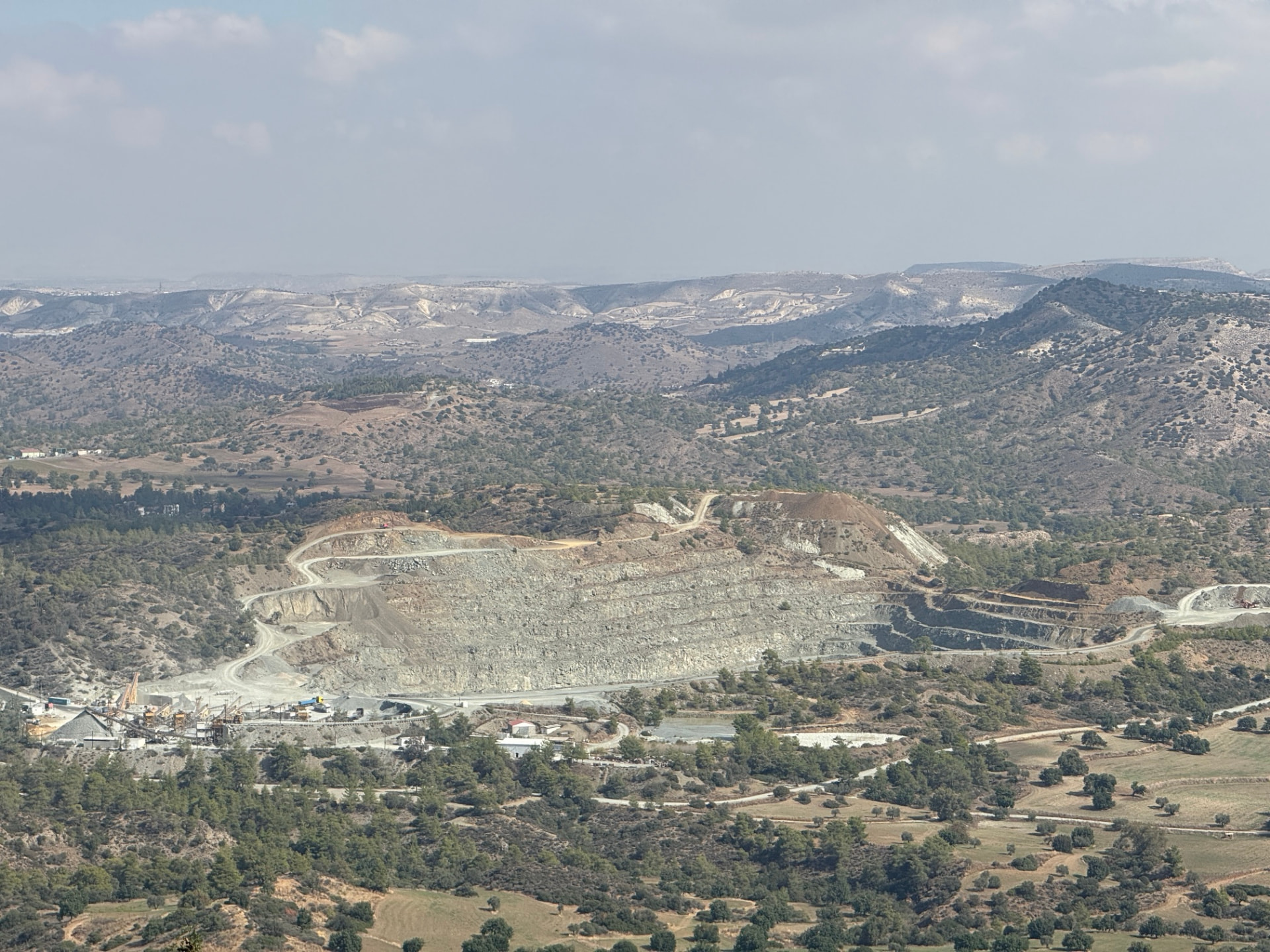
Moments from the walk
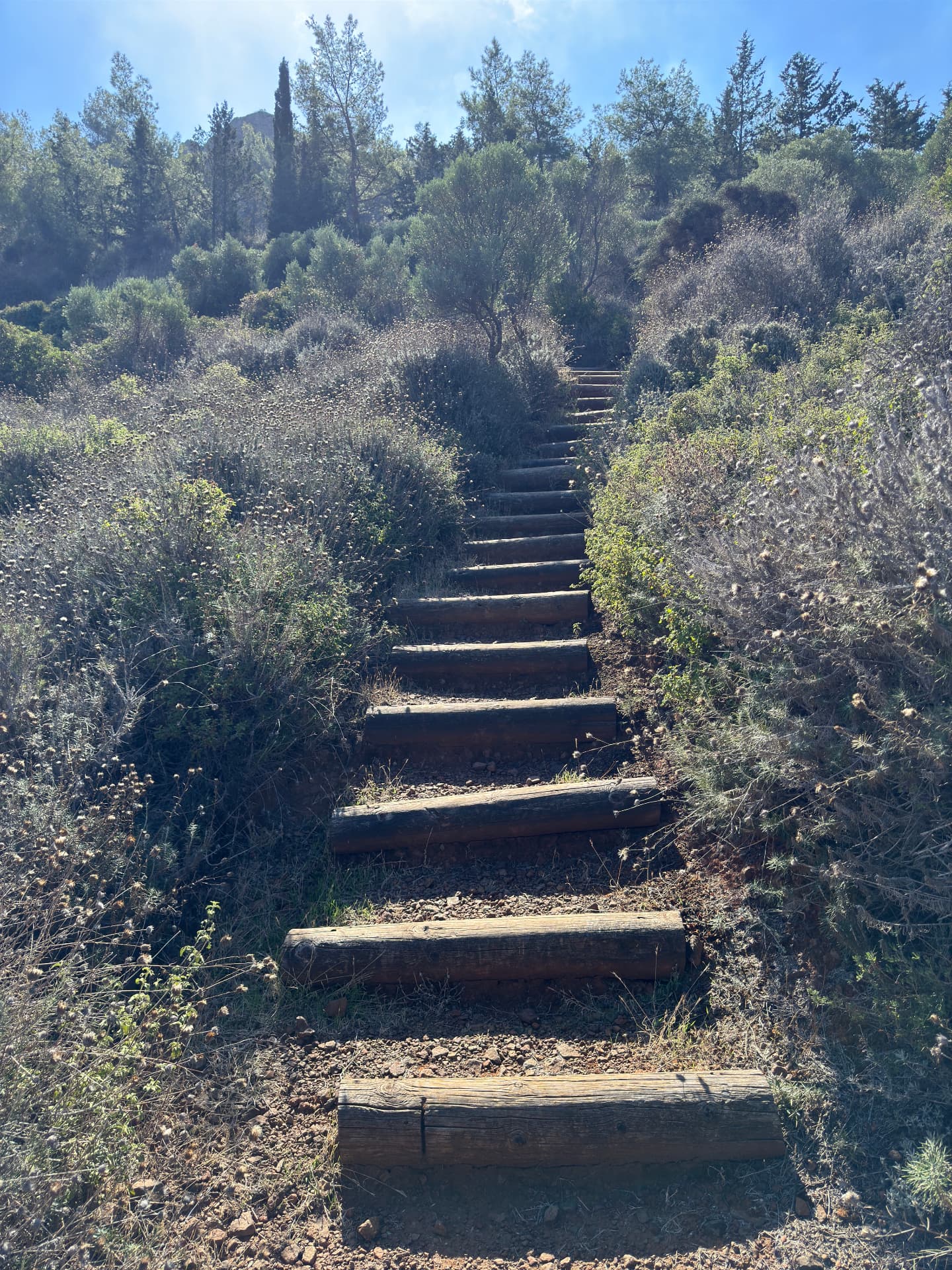
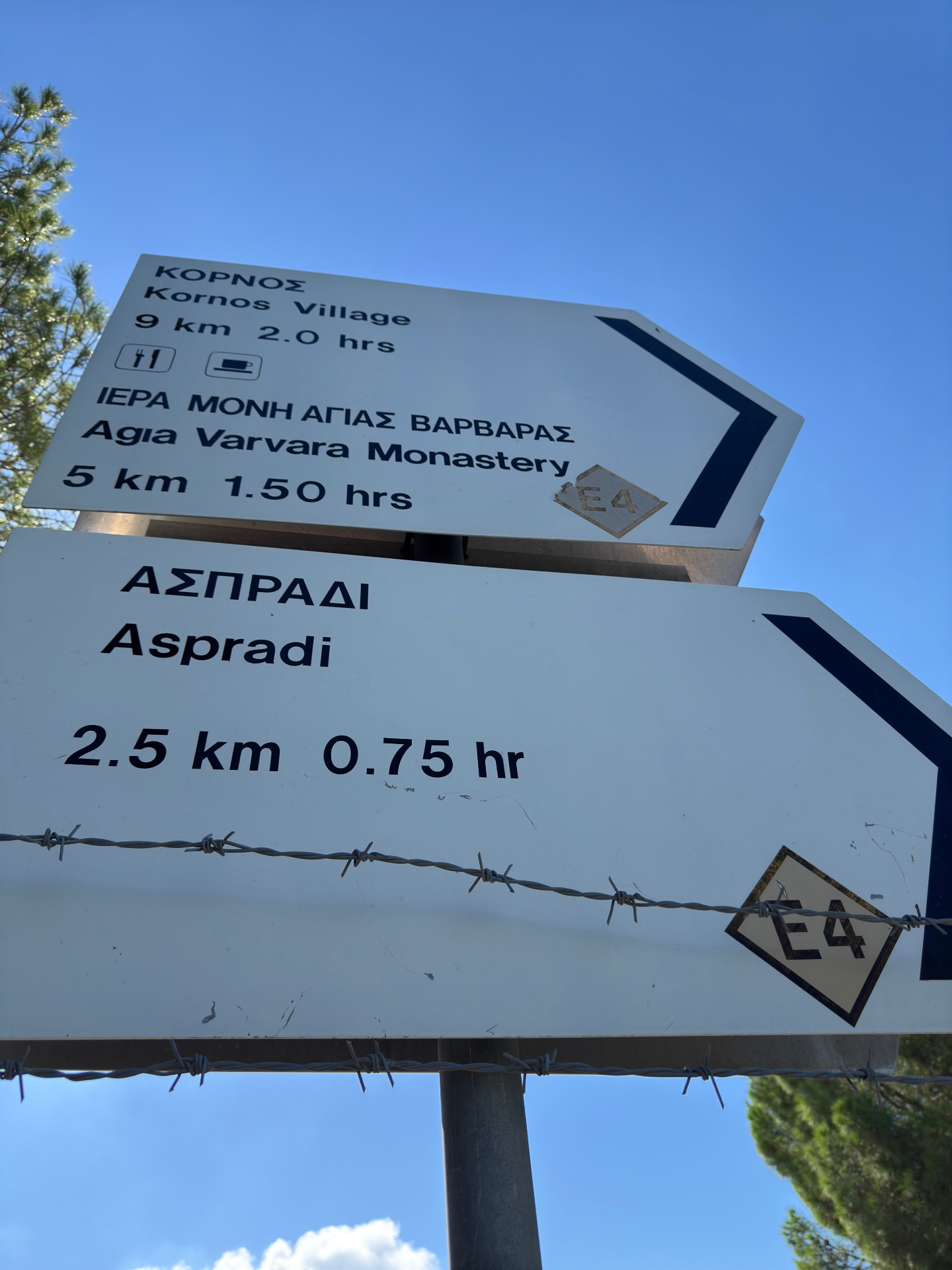
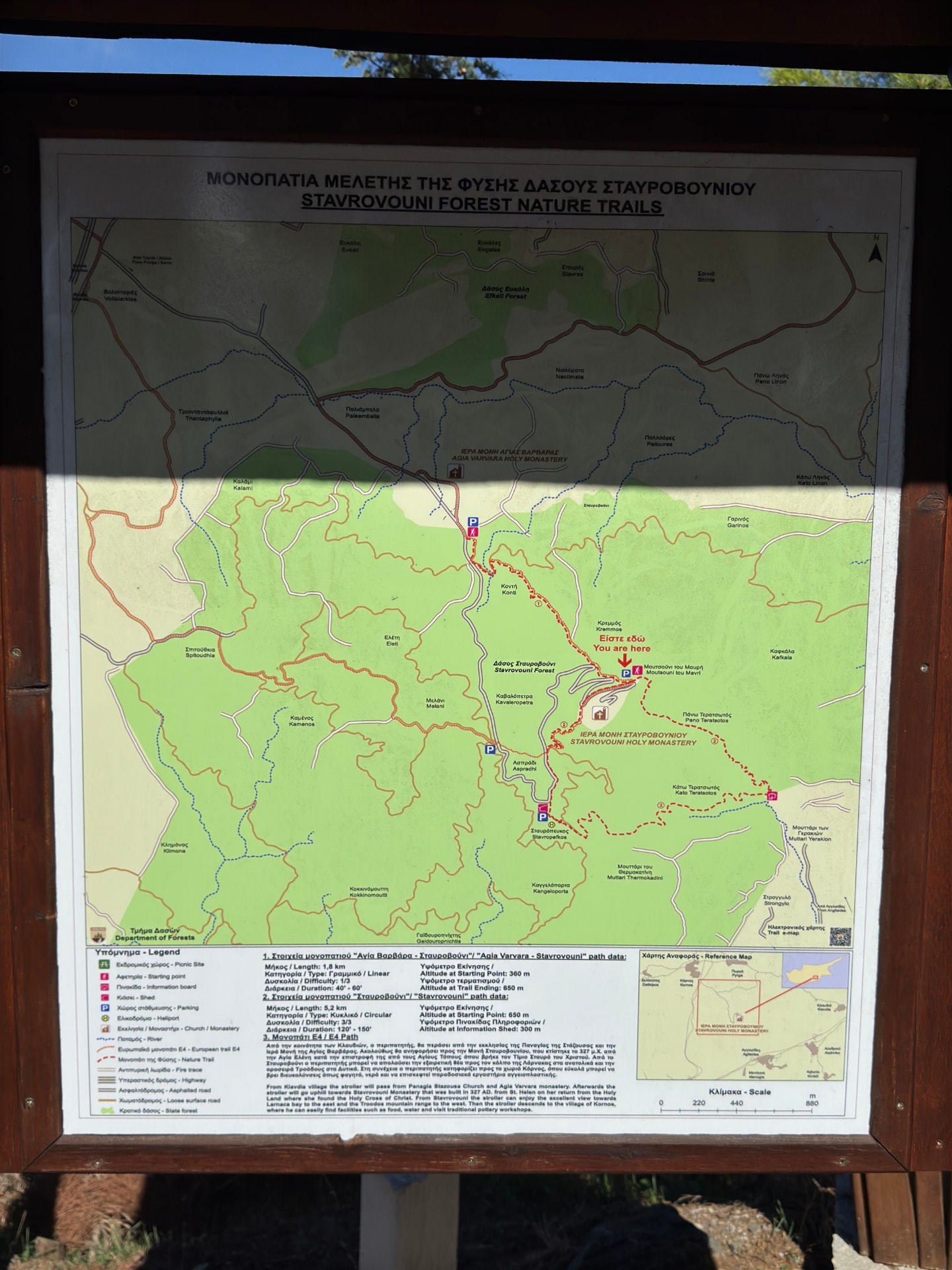
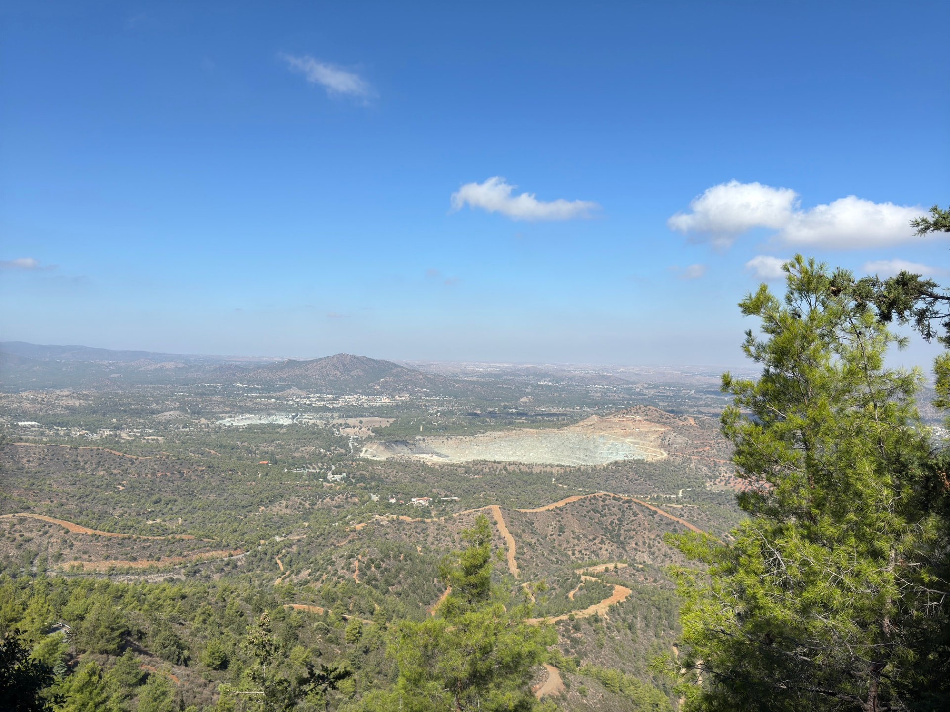
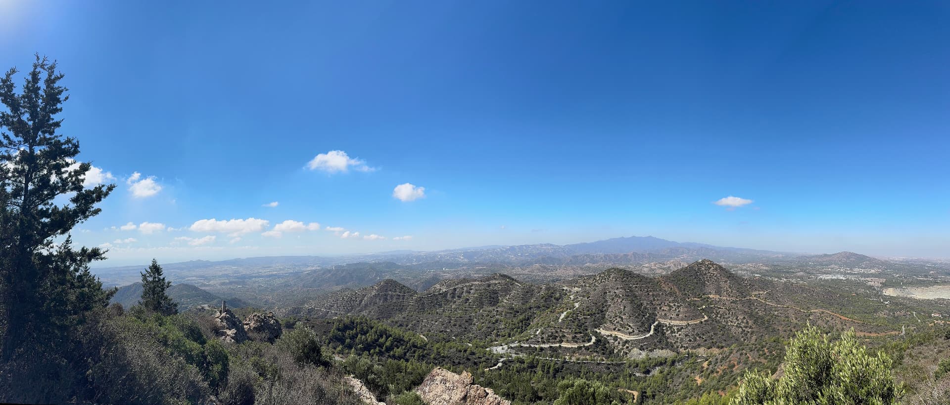
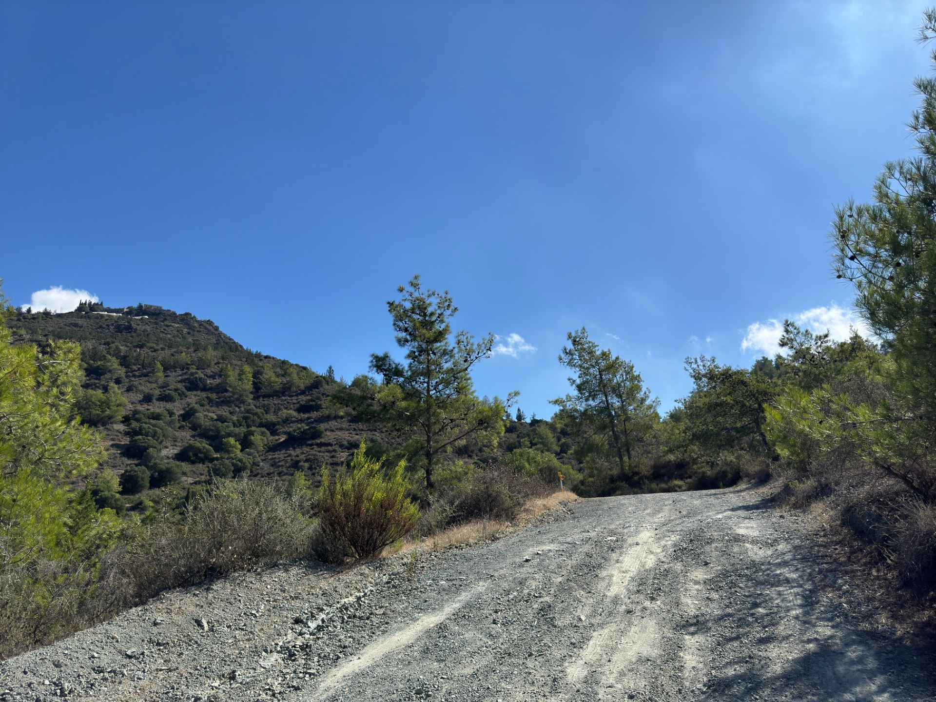
Drag sideways to see more photos
Trail notes
If you're planning to walk it
Access
The trail starts right at a bus stop in Pyrga, and the finish at Delikipos has its own stop on the same line. Service is thin, so check the timetable the day before you go.
Read more
The walk begins at the Larnakos - 1st Pyrga Larnakas bus stop in Pyrga, right at the edge of the village — the trailhead is at the stop itself, so there is no access walk to do. In the timetable snapshot this site uses, buses 410 (Larnaca Station via Kalo Chorio, Psevdas and Delikipos to Kornos) and 53 (Alampra via Kornos to Pyrga) both pass that stop, though service is thin, so check the day before you go. The finish at Delikipos also has a 410 stop, so the return can be planned on the same line rather than backtracking to Pyrga.
Best season
Hike in spring or autumn. Winter is fine; avoid summer heat.
Read more
Spring and autumn are the best months here — mild days, clear light and fields green after rain. October, when I walked it, was warm but comfortable. Summer is the hard season: much of the route is open farmland with only occasional pine shade, so if you walk then, start before sunrise and carry more water than you think you need. Winter is mild and walkable, but a 24 km day needs daylight, so an early start matters from November to February.
Navigation
Start at the Larnakos - 1st Pyrga Larnakas bus stop; the E4 leaves from the edge of the village. The whole route is waymarked as E4, and the junctions have white signposts to Stavrovouni Monastery, Agia Varvara, Aspradi, Kornos and Delikipos, so follow those rather than side tracks. On some dirt roads the markers are far apart, and a few signs are faded or covered in graffiti, so keep the downloaded track open on your phone. Around Kornos several signed trails meet; stay on the E4 towards Delikipos. Never enter the fenced military areas shown on the map.
Water & food
Buy water and food in Pyrga before you set off. On the way you can refill water at Stavrovouni Monastery at about 9.0 km, at the Kornos picnic site at 17.8 km and at the Delikipos picnic site, close to the route at 23.3 km. The only other place to buy food is Kornos village, which the E4 passes nearby; there are no shops on the trail itself, so carry enough food for a full 24 km day. Fountains can be switched off or run low in summer, so always carry enough water to reach the next one.
Designated trail
This is an officially designated trail. For its official description, see Monopatia.info. The recorded route, bus access, walking gap and sun exposure on this page are by Hiking Against Distance.
Support this documentation
Keep car-free access information open to everyone.
Your support helps turn bus journeys and days on foot into freely available GPS records, photographs and access observations. Contributions help with field transport, food, water, equipment and publishing; the information remains free whether or not you contribute.
Buy me a coffee