Platres, Cyprus · June 2023
Caledonia Waterfall Trail with Pouziaris Trail
A challenging hike combining the cool waters of Caledonia with the steep views of the Pouziaris trail.
Car-free access to the start
The walk after the bus
- Nearby bus stop in the snapshot
- Platres Forest Station - Kalidonia
- Estimated access walk
- 0.00 km · ~0 min
- Walking-distance indicator
- Easy
This is the connection to the hike's start, not the full hike. A nearby stop does not guarantee a bus at your chosen time.
Sources and missing information
- Access source
- Stored walking-route estimate and official bus-stop snapshot
- Hike recorded
- June 2023
- Transport story checked
- Not documented
- Access snapshot verification date
- Not documented
- Access-walk ascent
- Not documented
- Access terrain and road safety
- Not documented
- Access water availability
- Not documented
- Bus service frequency
- Not documented
Distance is not a safety rating. Check current buses, access, weather, daylight and water; remote or hazardous terrain may require turning back.
10.6 km
Distance
553 m
Elevation gain
Pouziaris
Peak
One day
Duration
Waterfall & Forest
Terrain
June 2023
Date
Hard
Difficulty
Very weak on the Caledonia trail · Moderate on the Pouziaris trail
Mobile signal
Overview
The story of this trail
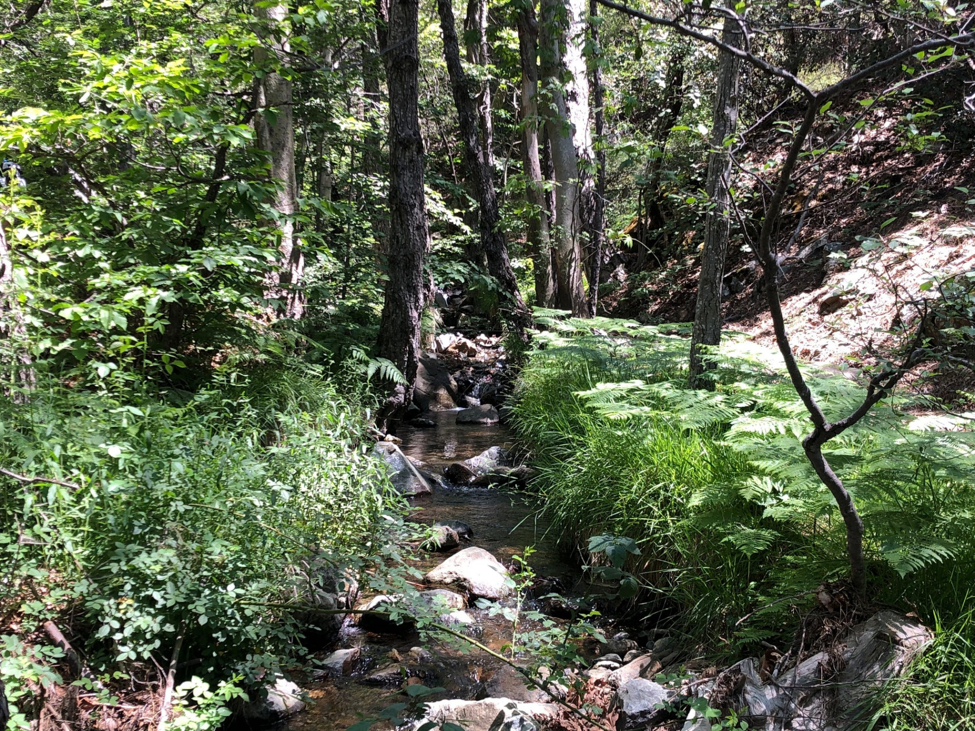
This loop brings together two quite different sides of the mountains above Platres. Caledonia is the close-up part: a rocky path beside the Kryos Potamos, with trees overhead and the sound of water nearby. Pouziaris gives you the wider picture, climbing through pine forest to places where the trees open and the hills stretch away towards the coast. The waterfall is the obvious attraction, but it is only part of the day.
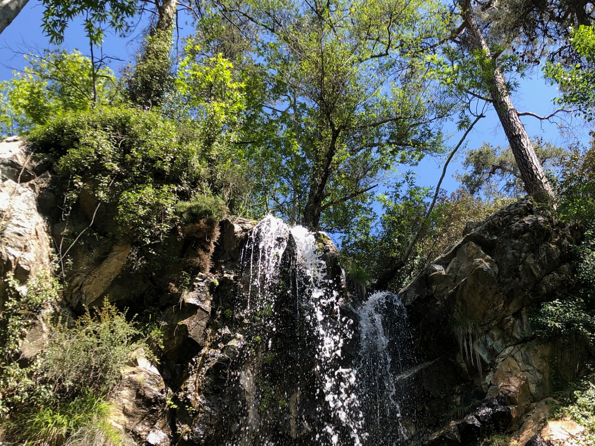
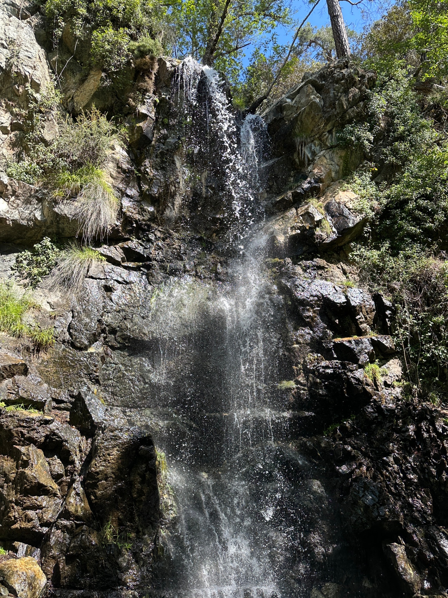
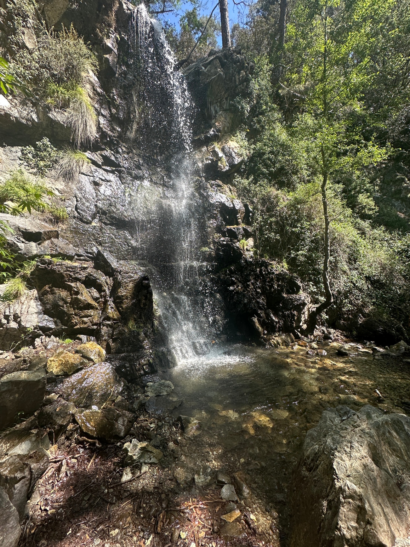
The Caledonia nature trail follows the stream through the forest and passes the waterfall, which drops about 12 m over dark rock. It is a place to slow down rather than rush through: there are stones and stream crossings to negotiate, and wet rock can be slippery. Visit Cyprus lists the standalone trail as a 3 km linear walk, while Monopatia records 2.89 km. Neither figure describes this whole loop.
Pouziaris changes the rhythm. The climbs and descents ask more of your legs, and the forest changes from Calabrian pine to black pine higher up. Between the trees are open viewpoints over the surrounding mountains, with the sea visible in clear weather. Visit Cyprus lists the separate circular trail as 9 km and rates it at difficulty 3; Monopatia records 8.21 km. Combining parts of the two trails makes a longer mountain outing, not just a short visit to the waterfall. My June 2023 recording covers 10.6 km with 553 m of ascent.
Most of my loop follows designated nature trails, but the connection between them needs a little explanation. A 2.32 km stretch is outside the designated local nature trails, although 820 m of that stretch follows the E4 long-distance route. That is why this page calls the loop partly designated rather than one fully designated trail. Markers are sparse, so do not expect a sign at every turn: keep the downloaded route handy, especially through the connecting section.
Sources: Monopatia.info — Caledonia · Monopatia.info — Pouziaris · Visit Cyprus — Kalidonia · Visit Cyprus — Psilodentro–Pouziaris
The route
Milestones from start to finish
Caledonia Waterfall & Pouziaris Trail
Drag to move · scroll to zoom
Elevation & steepness
1189–1604 m
Distance
10.64 km
Elevation gain
553 m
Elevation loss
557 m
Highest point
1604 m
Lowest point
1189 m
Steepness by distance
Major climbs & descents
The most significant sustained climbs and descents along the route.
Major climbs
Major descents
Road type
How the route is classified across its full distance.
Weather at the trailhead
Loading the forecast…
Sun & shade through the day
Deep shadeShade category · from Monopatia.infoCurrent date and time: …
Working out the sun along the route…
From the trail
Moments from the walk
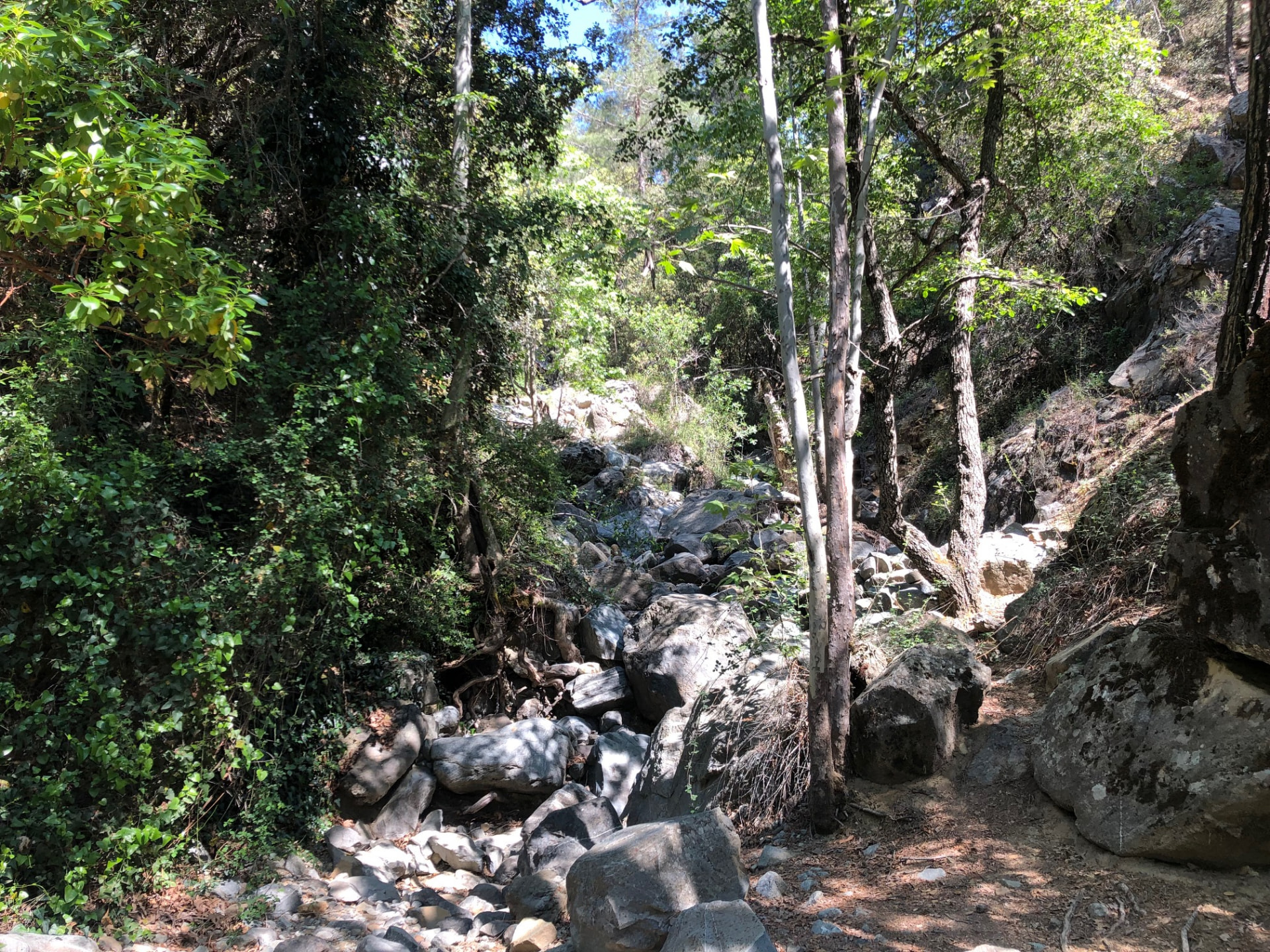
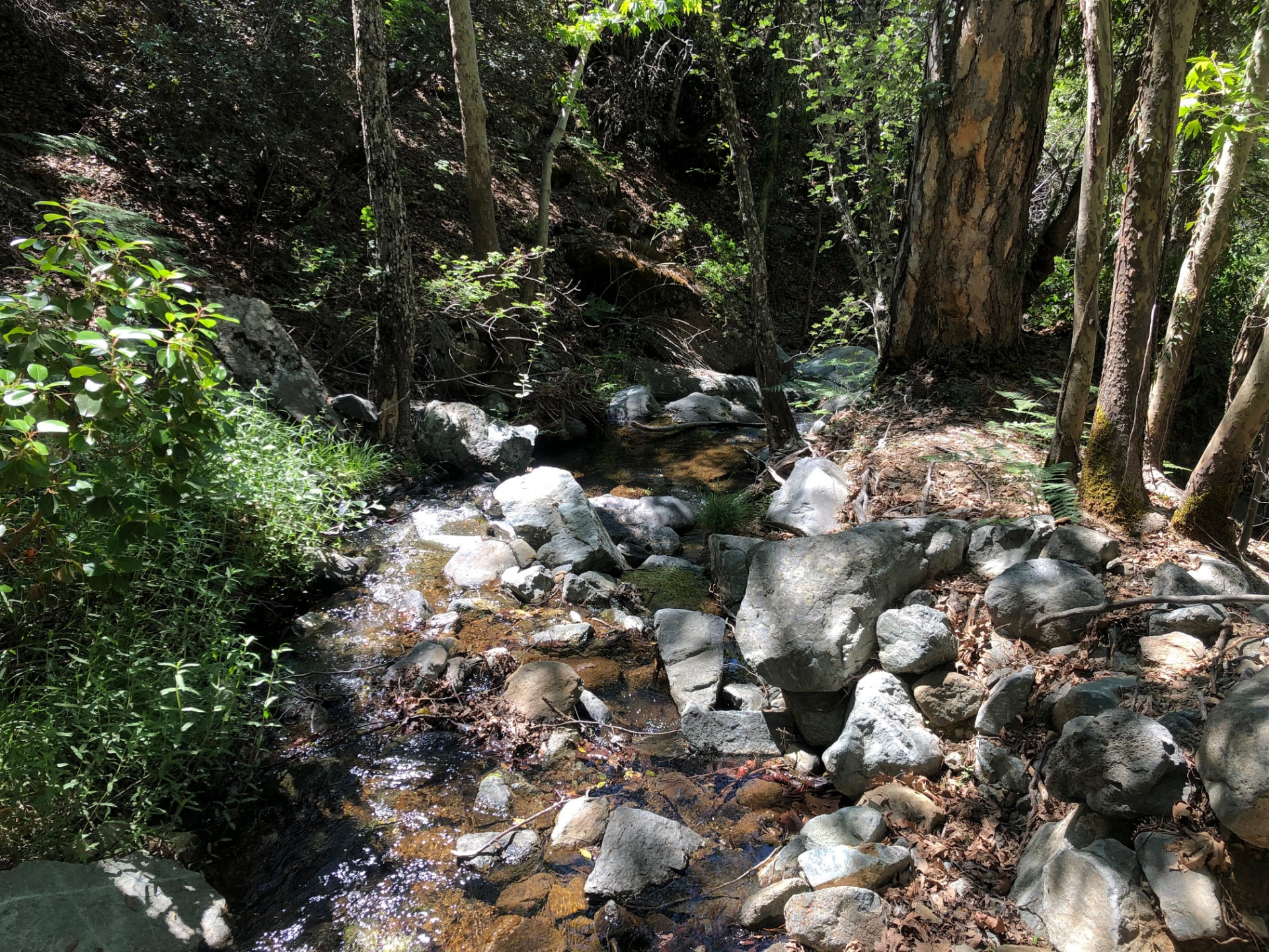
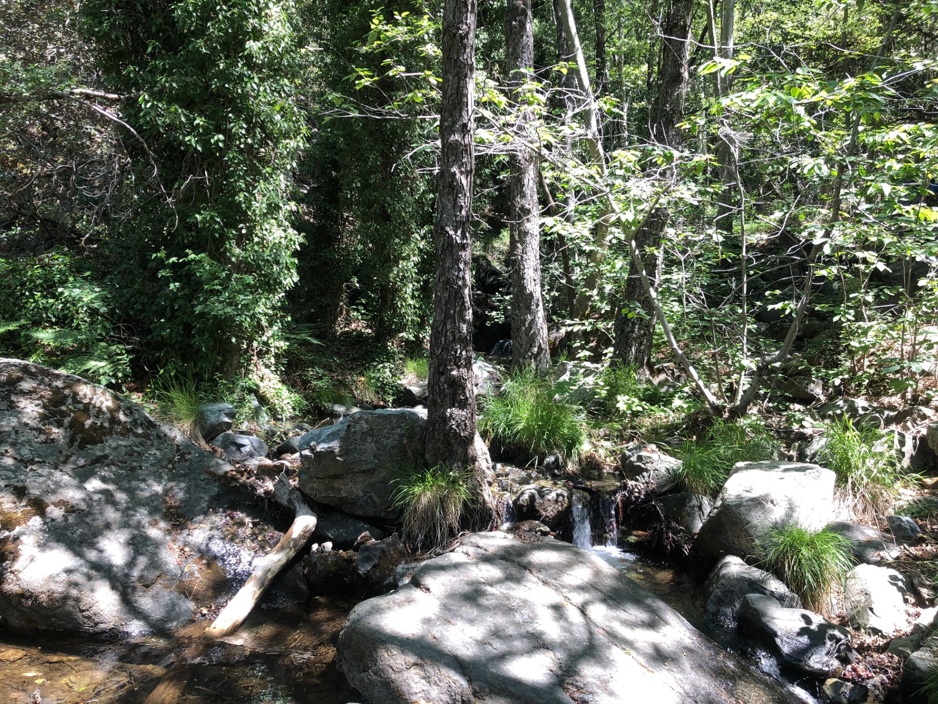
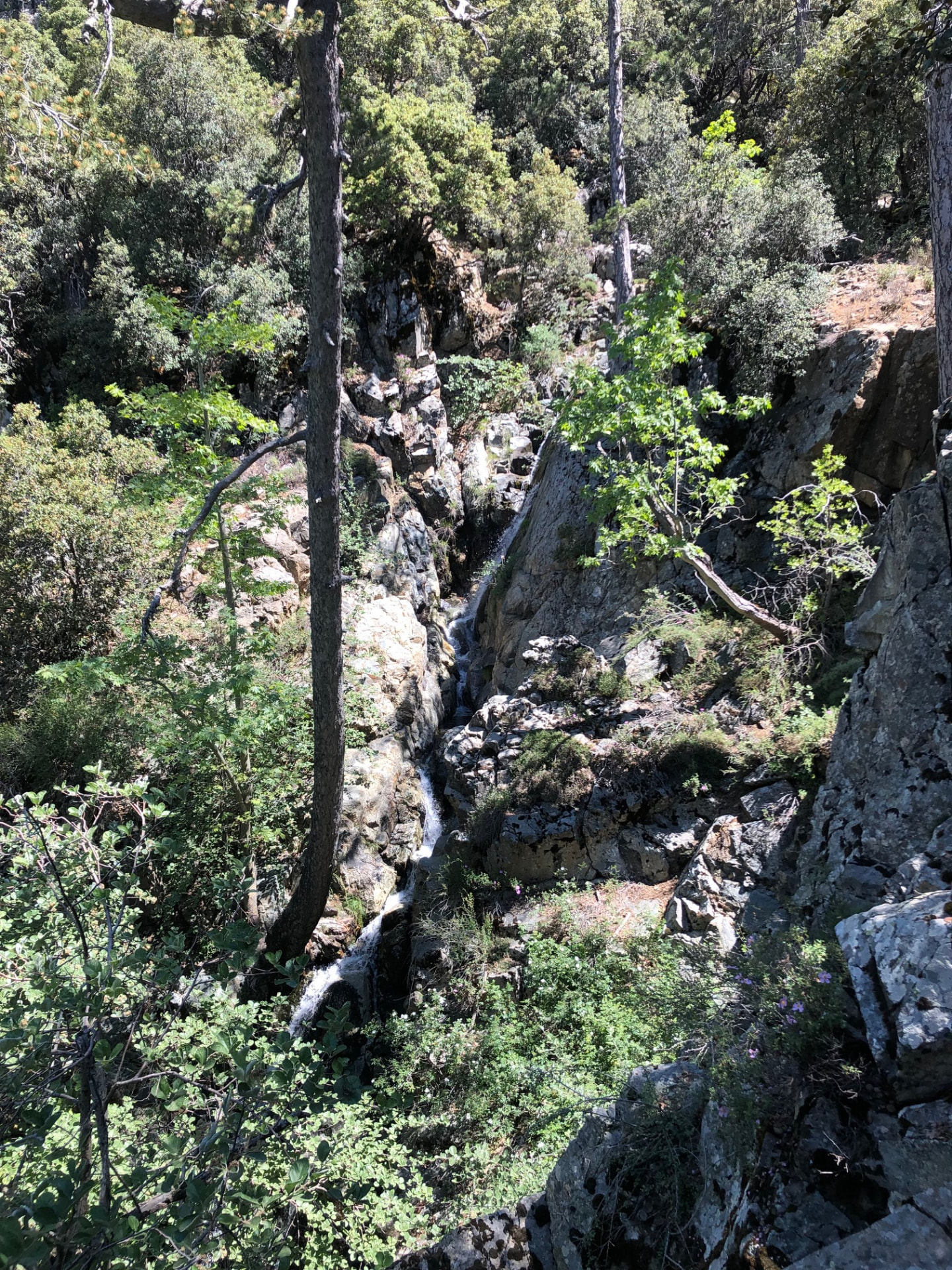
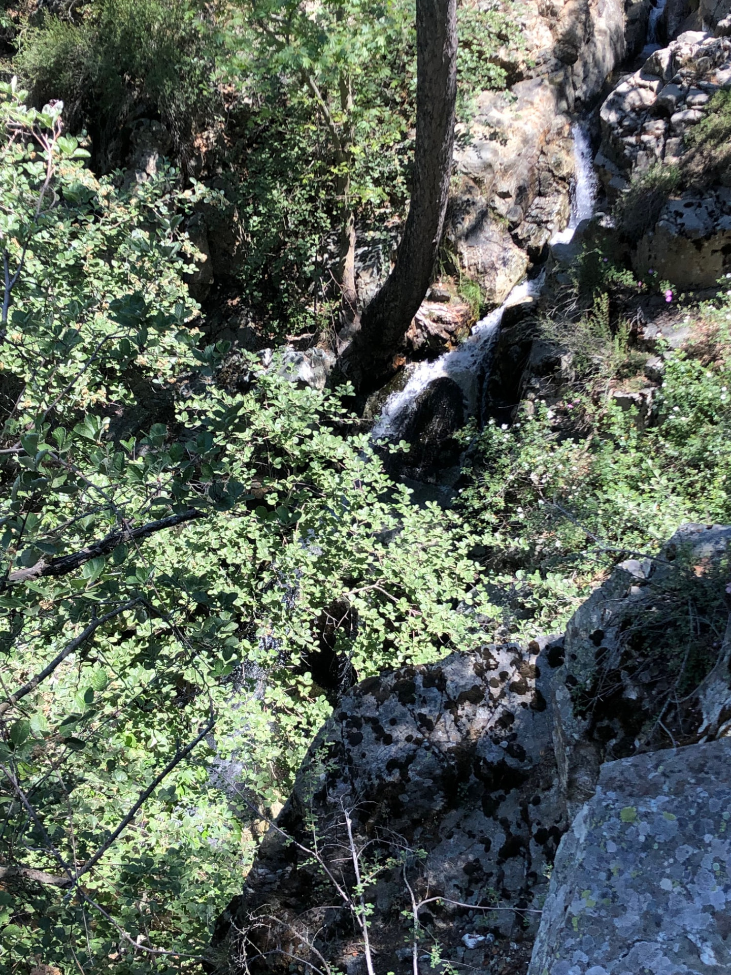
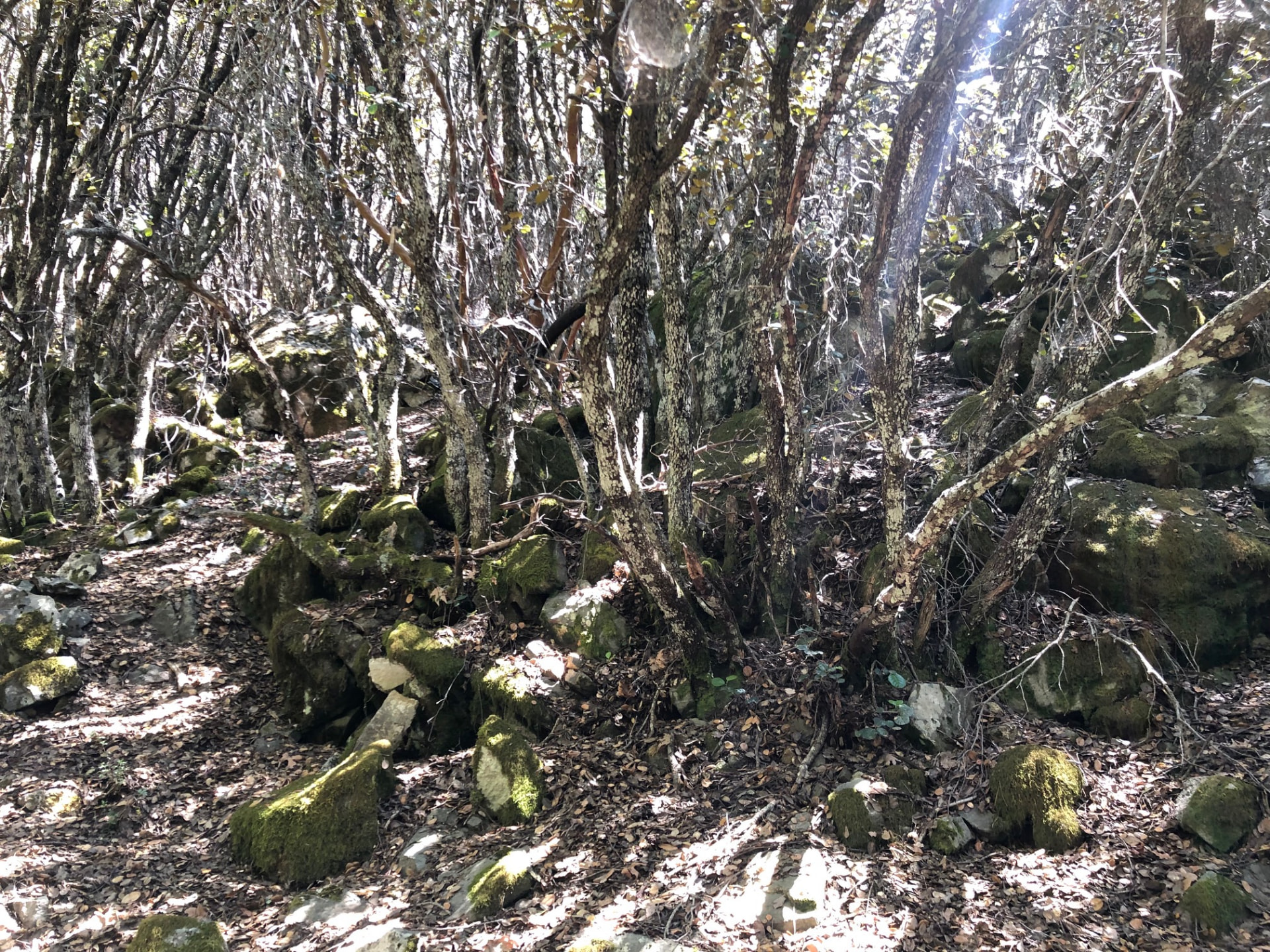
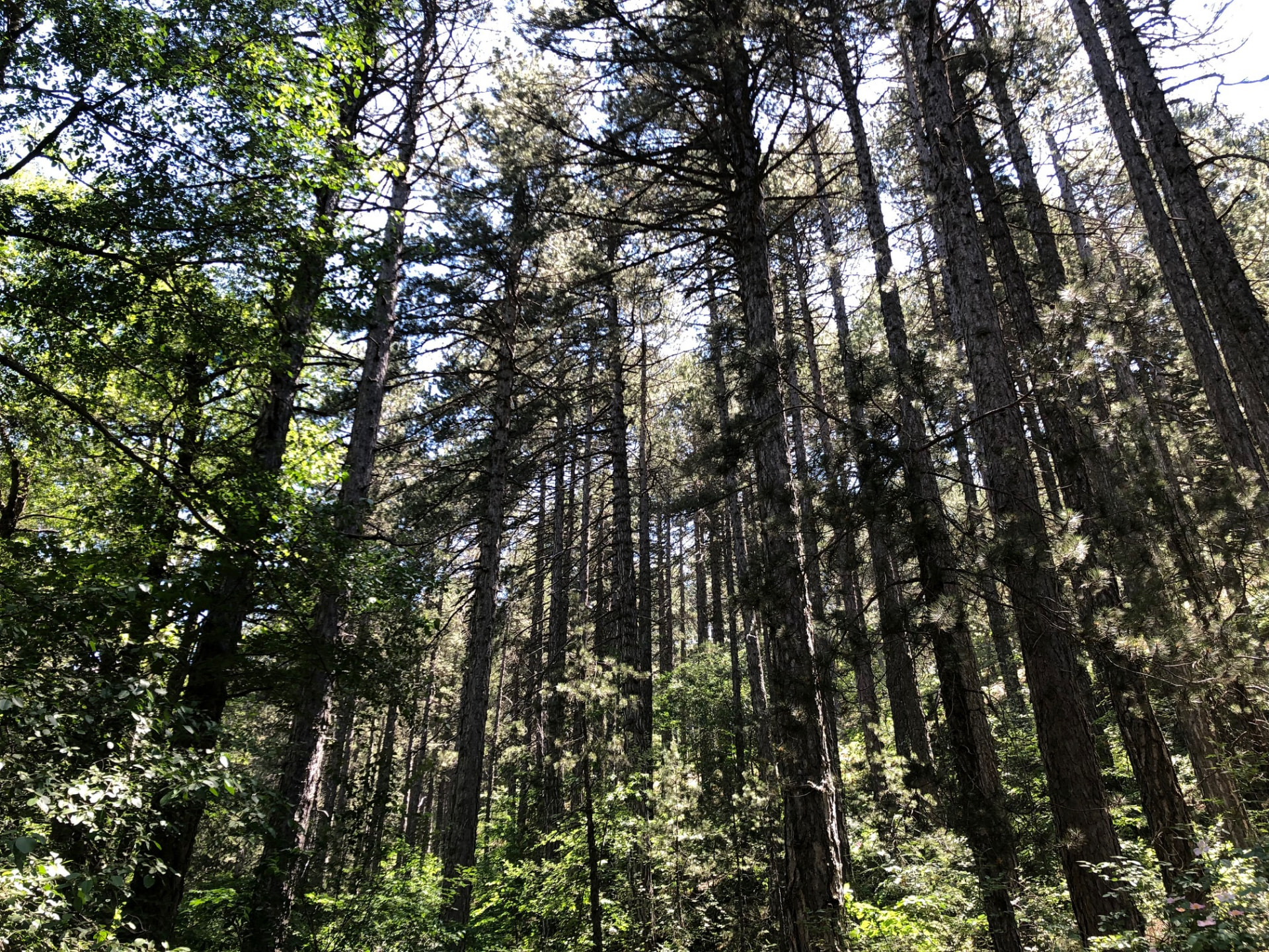
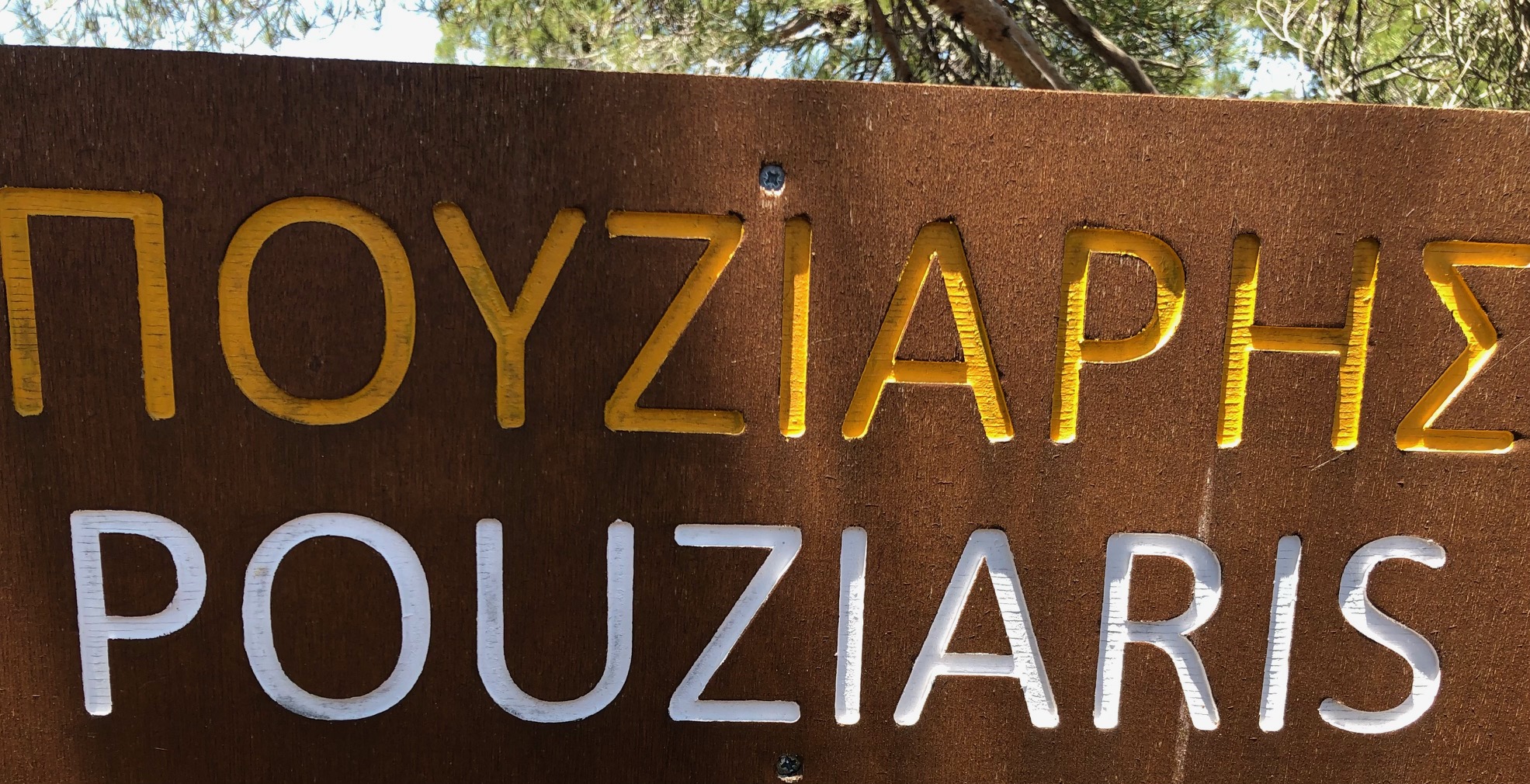
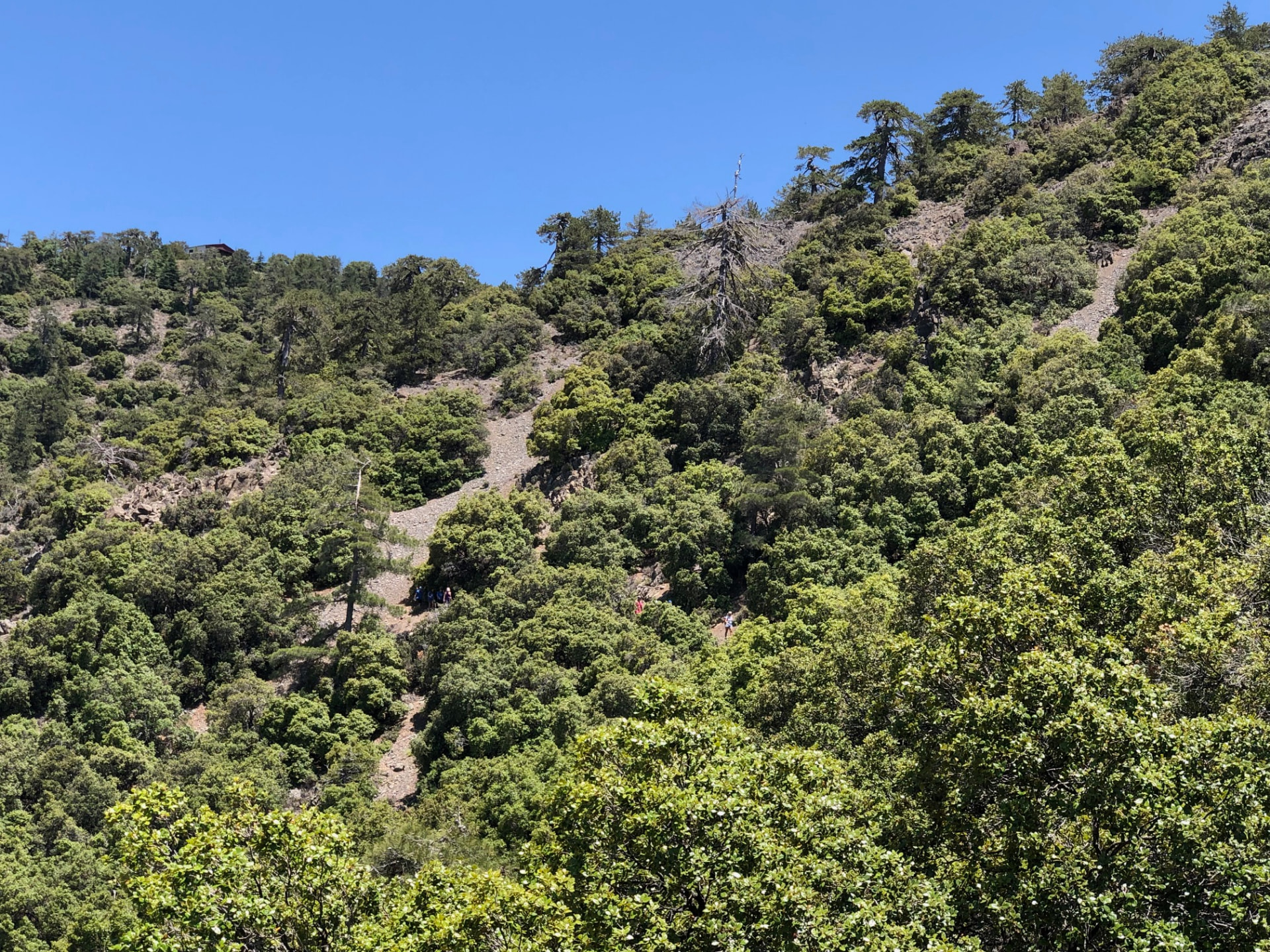
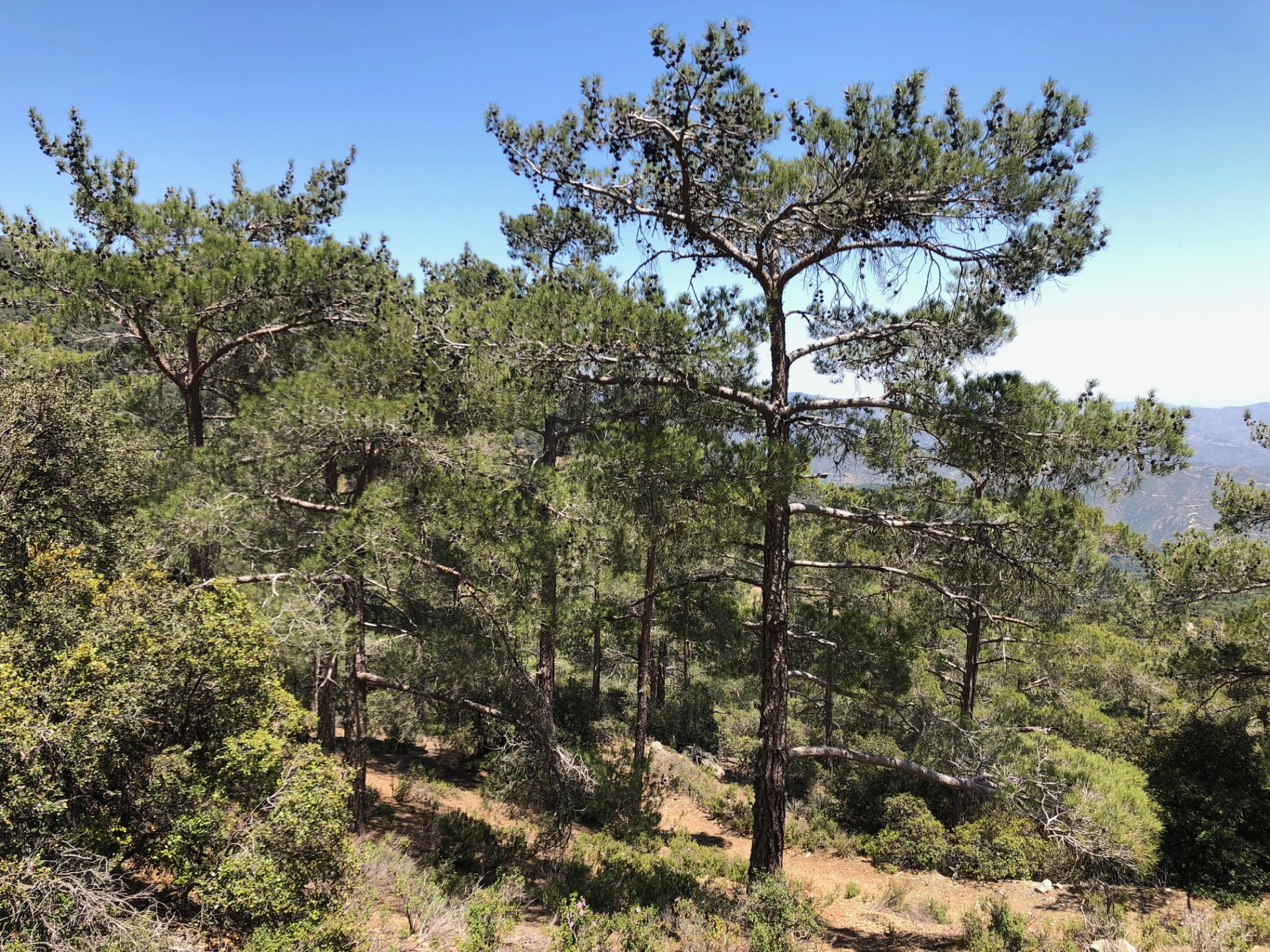
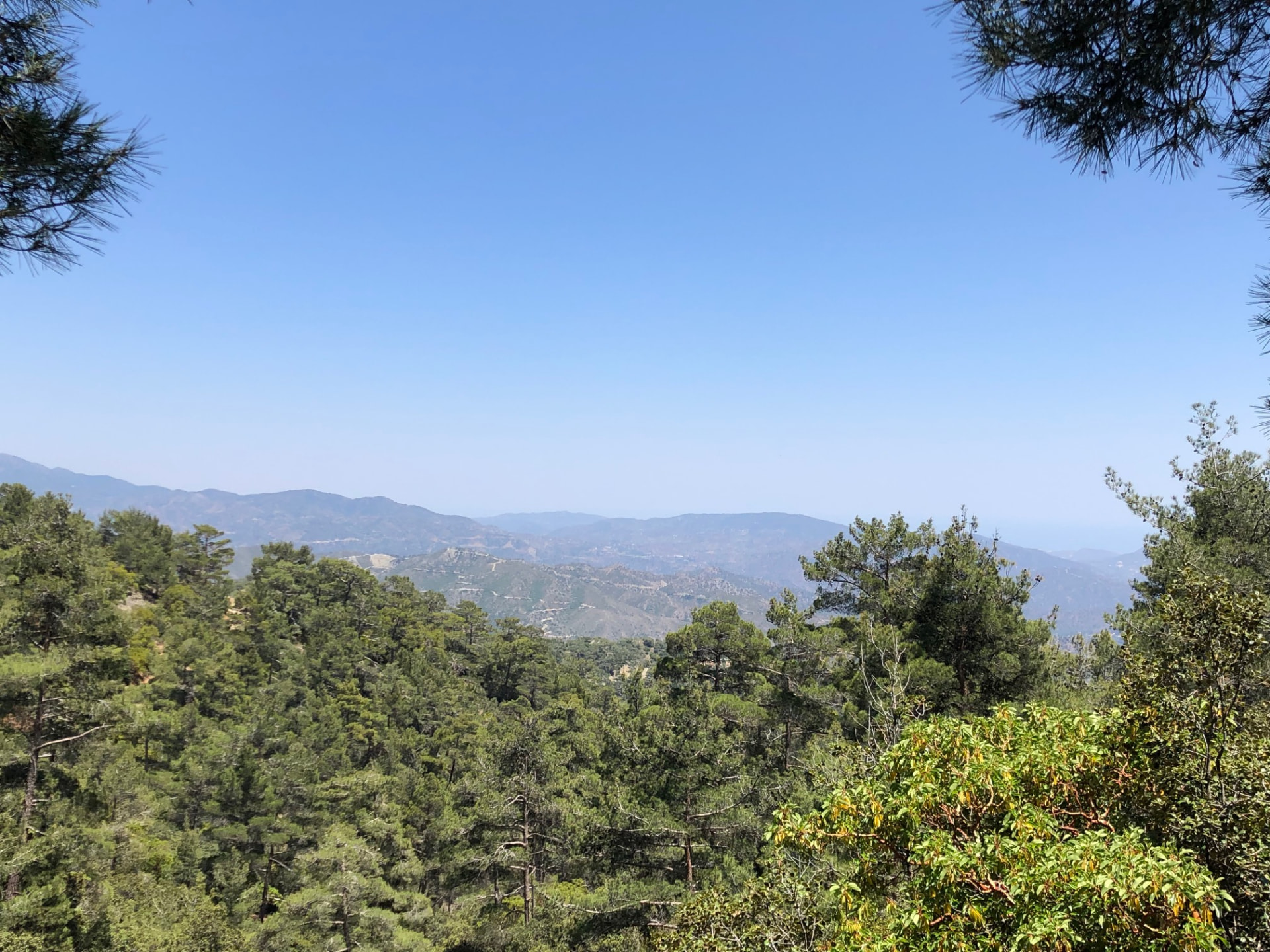
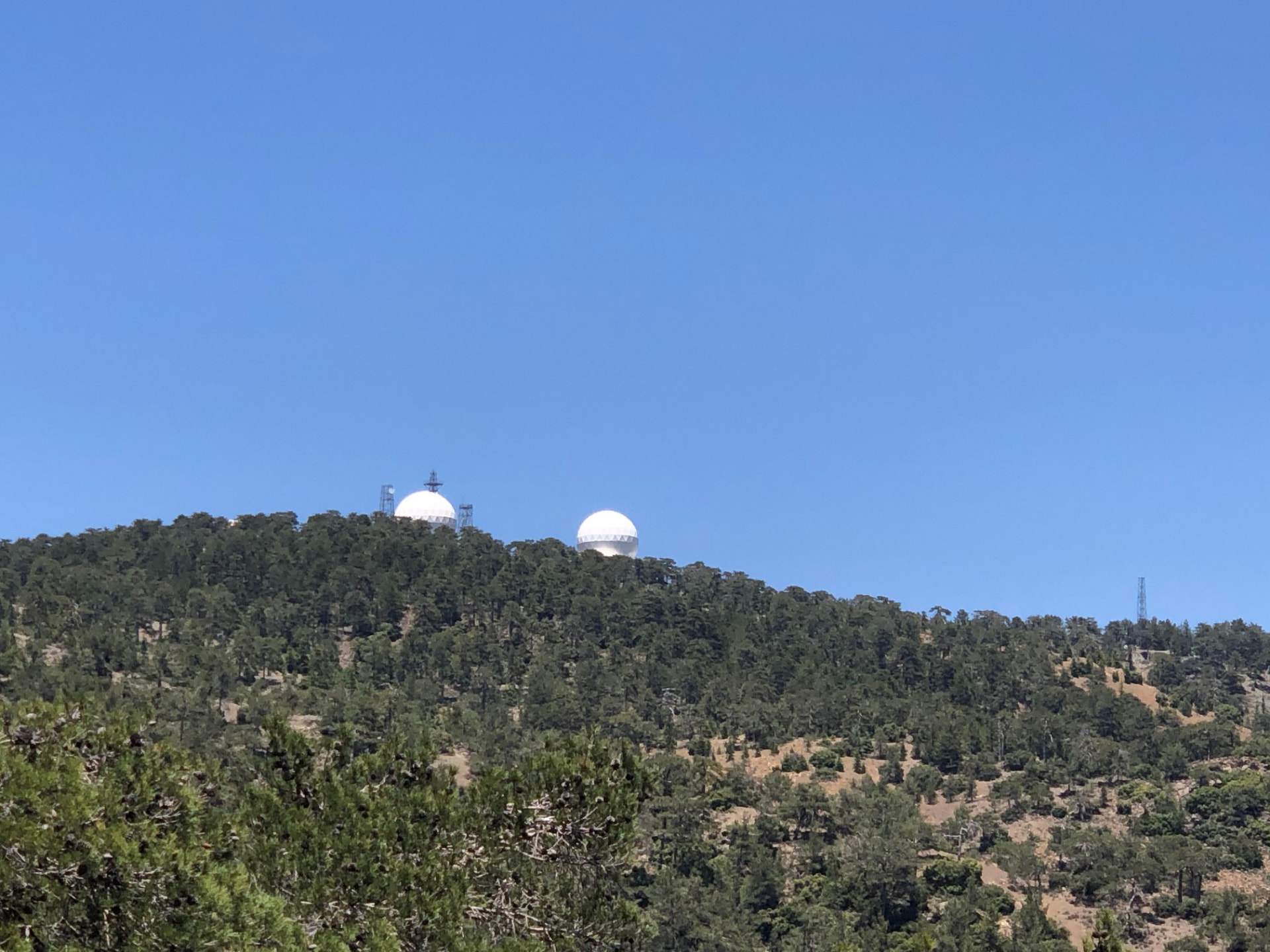
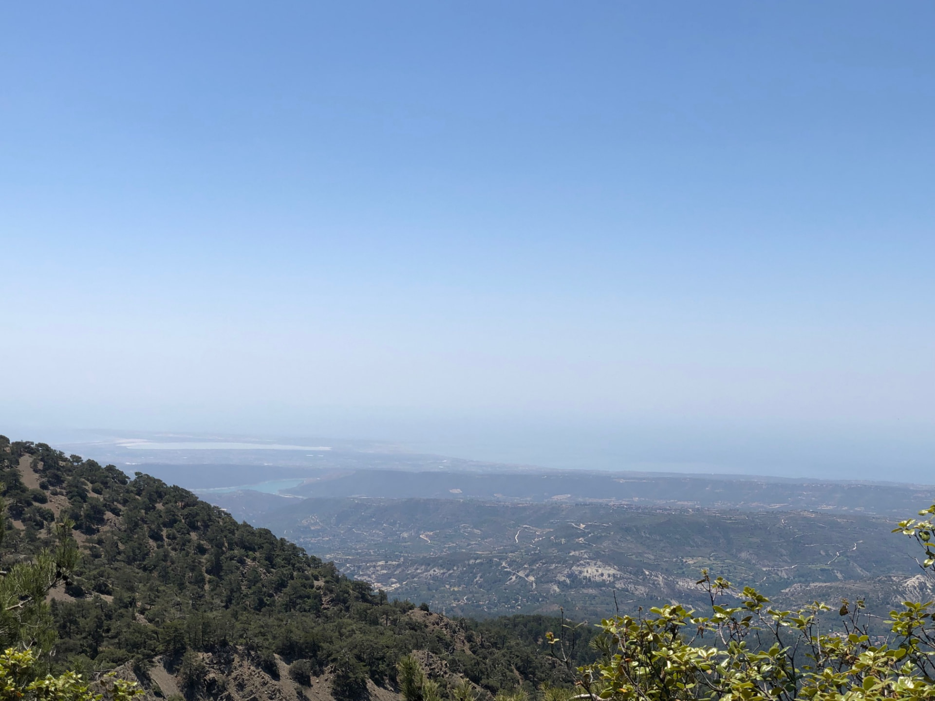
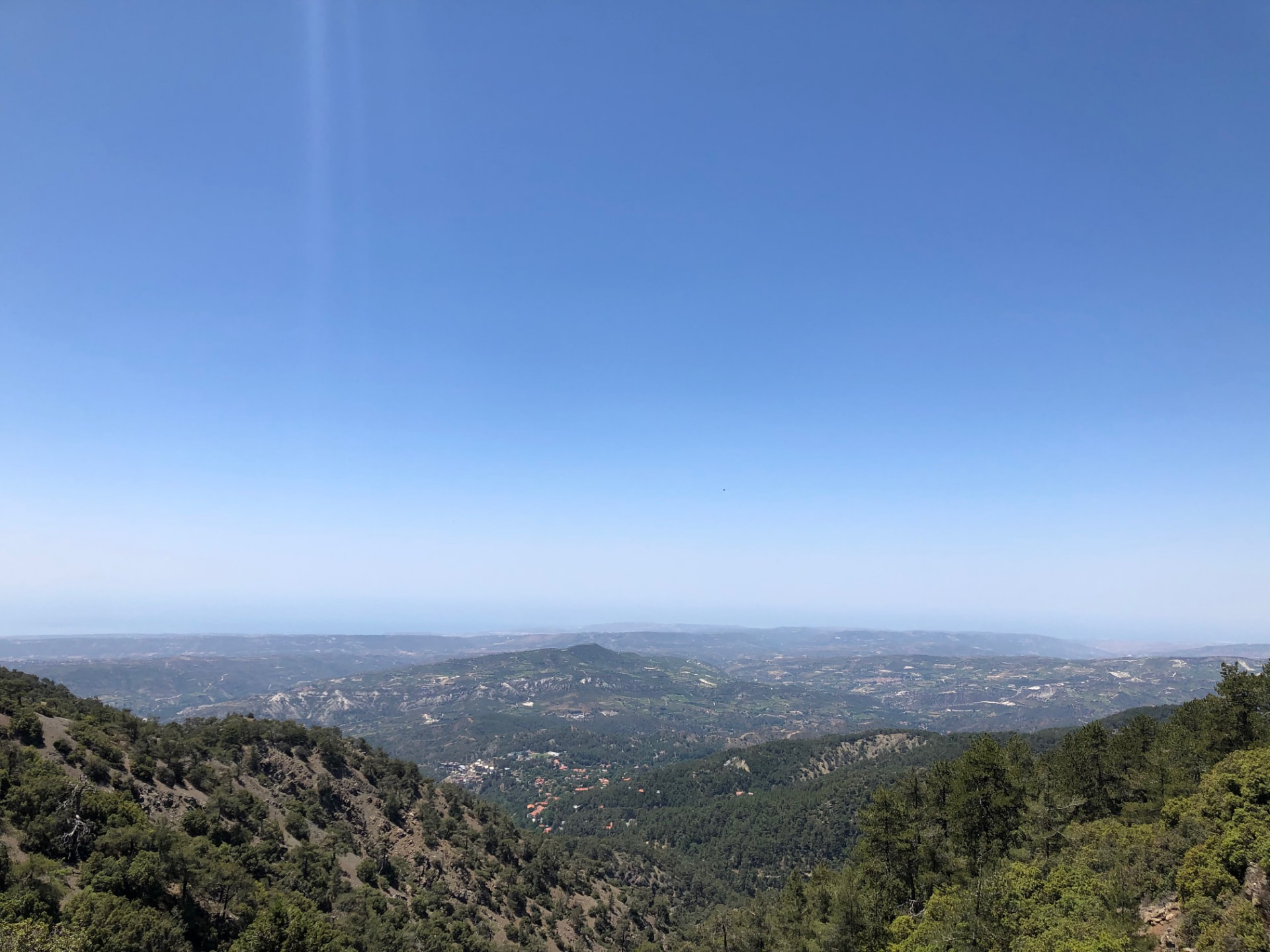
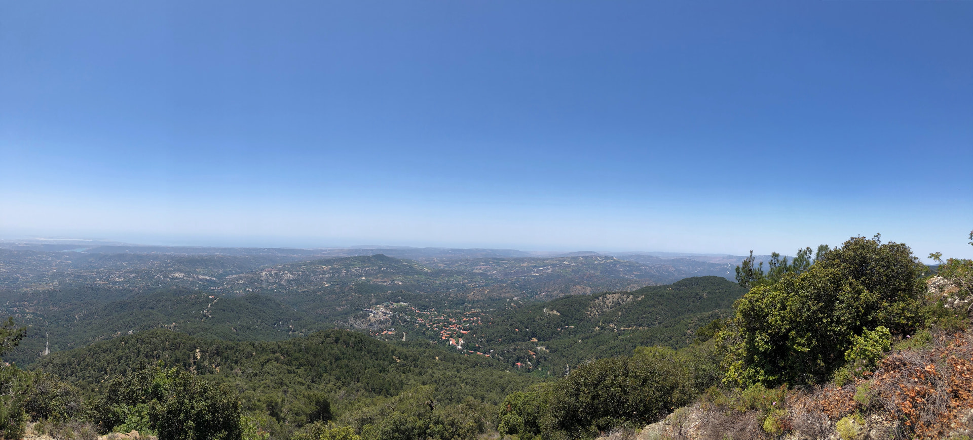
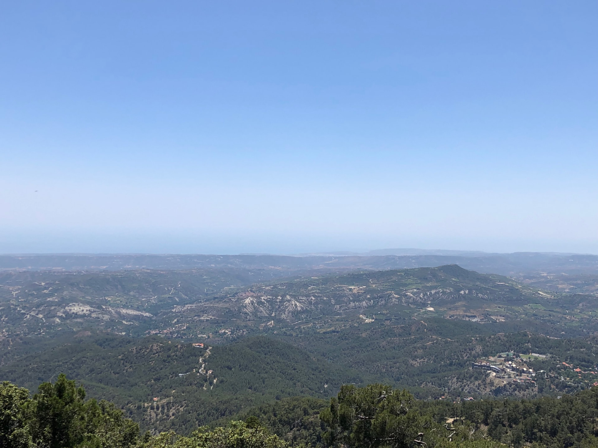
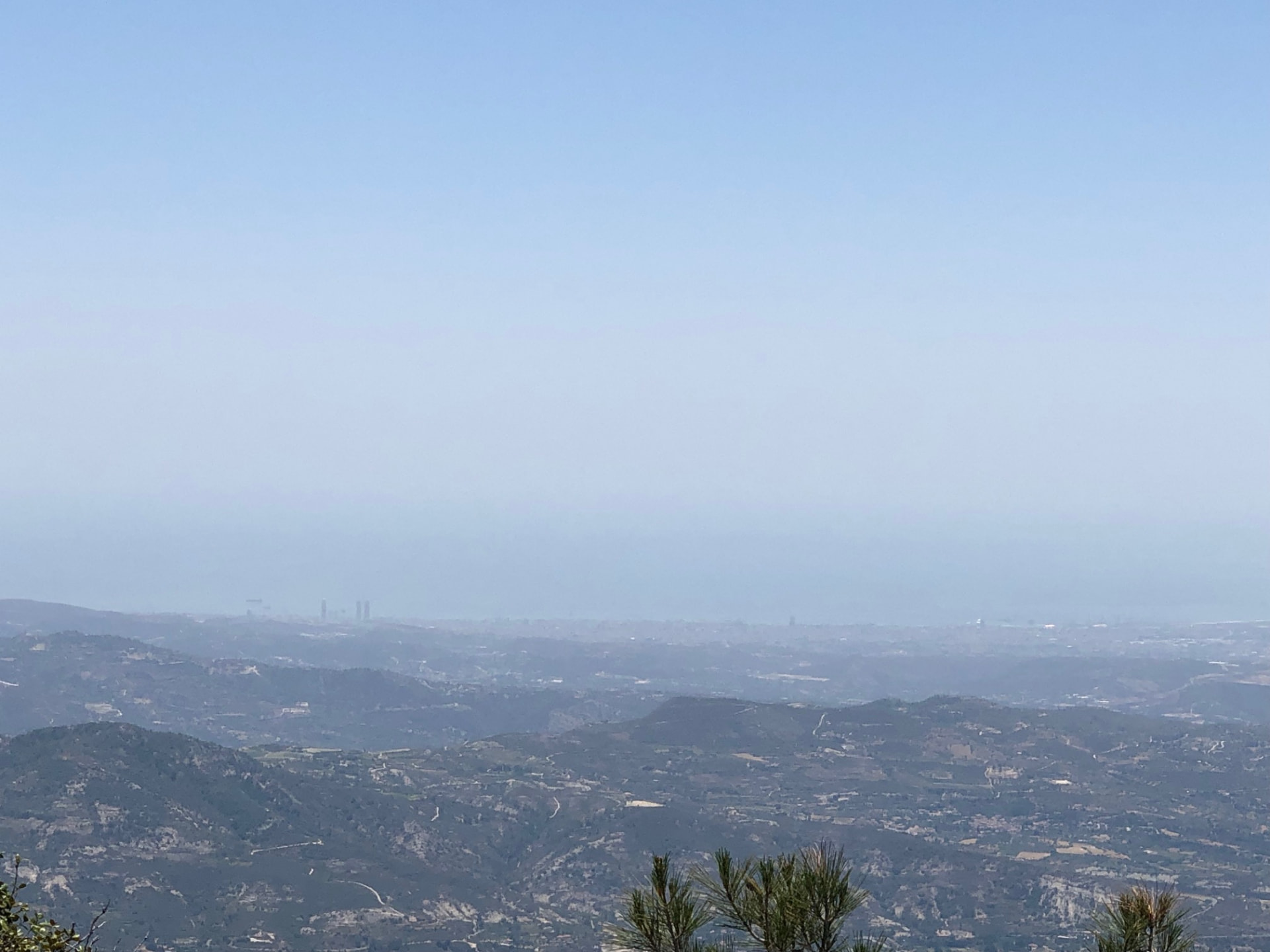
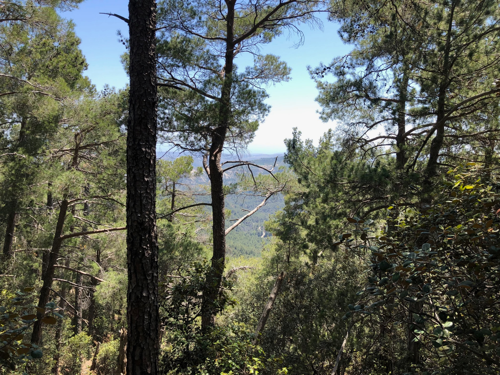
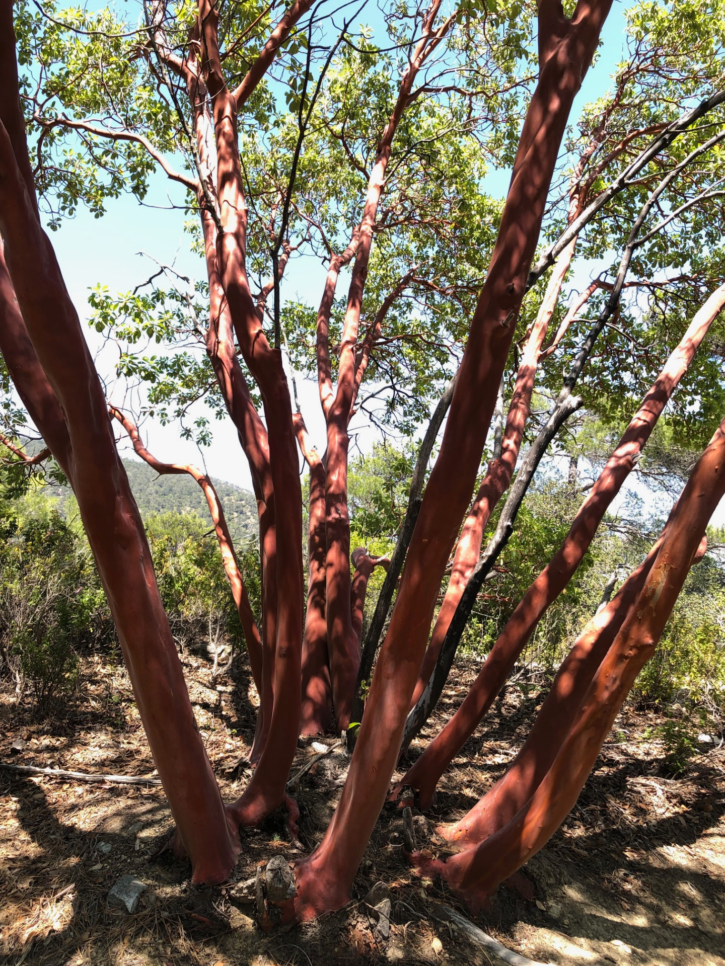
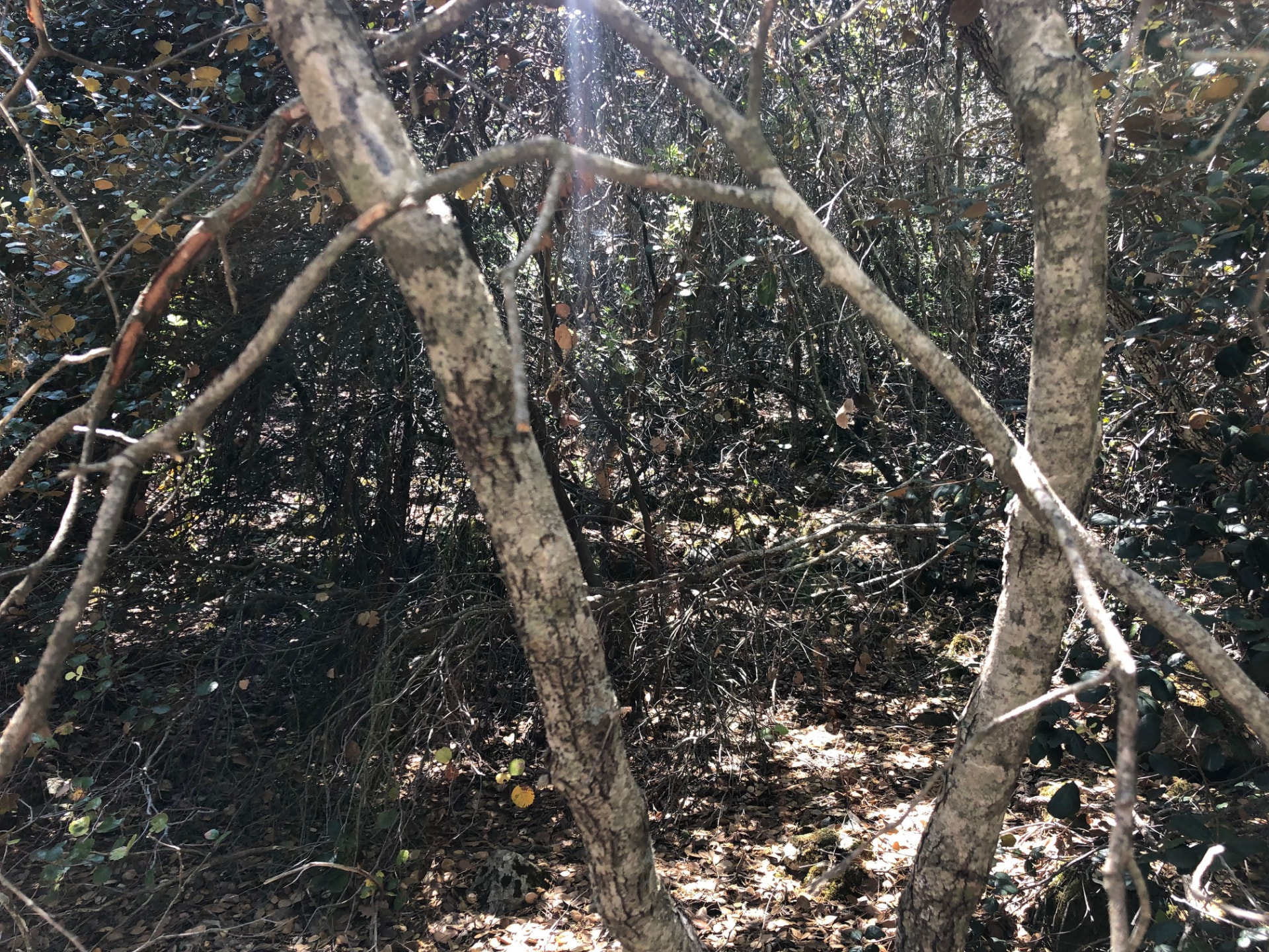
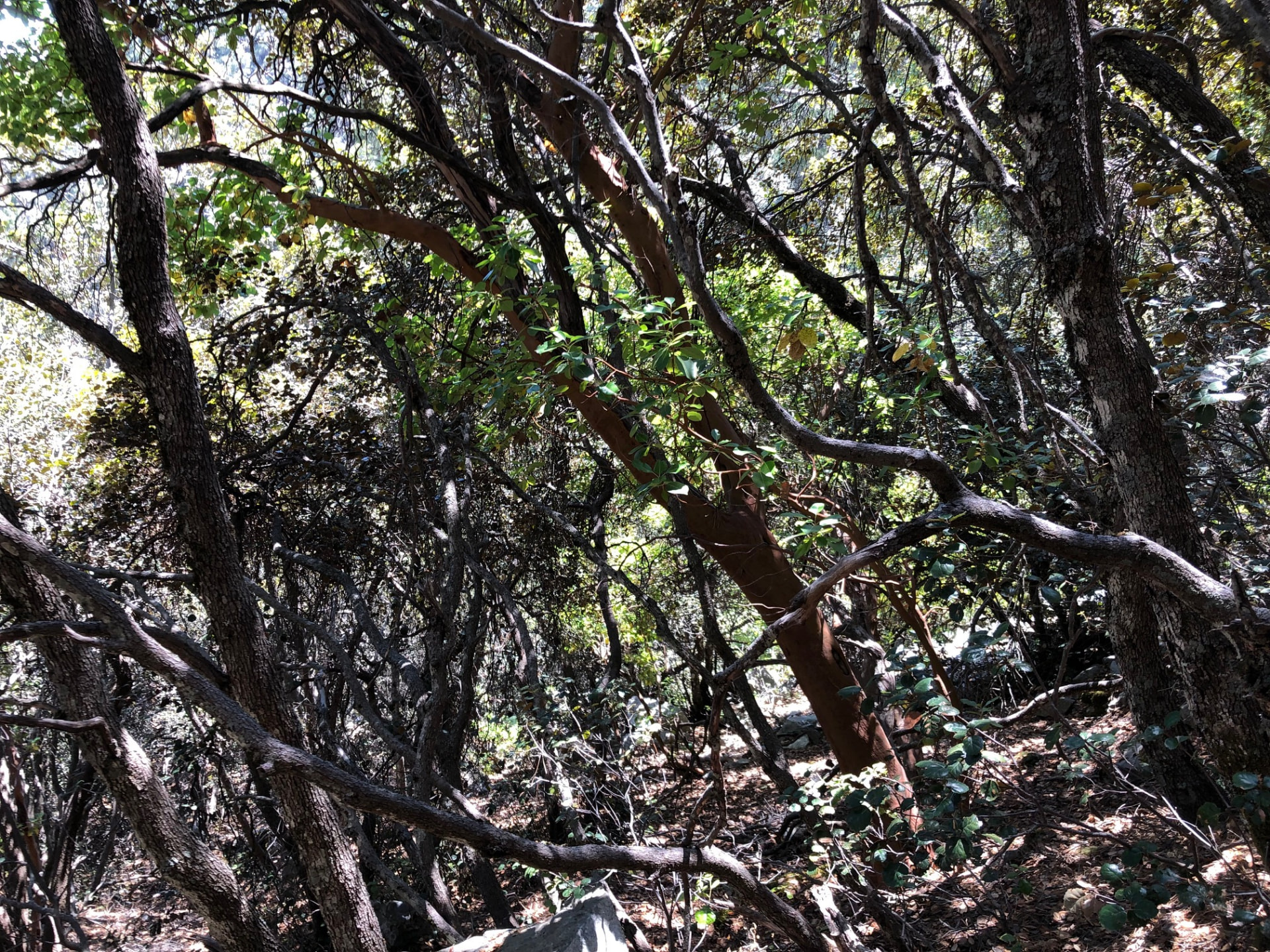
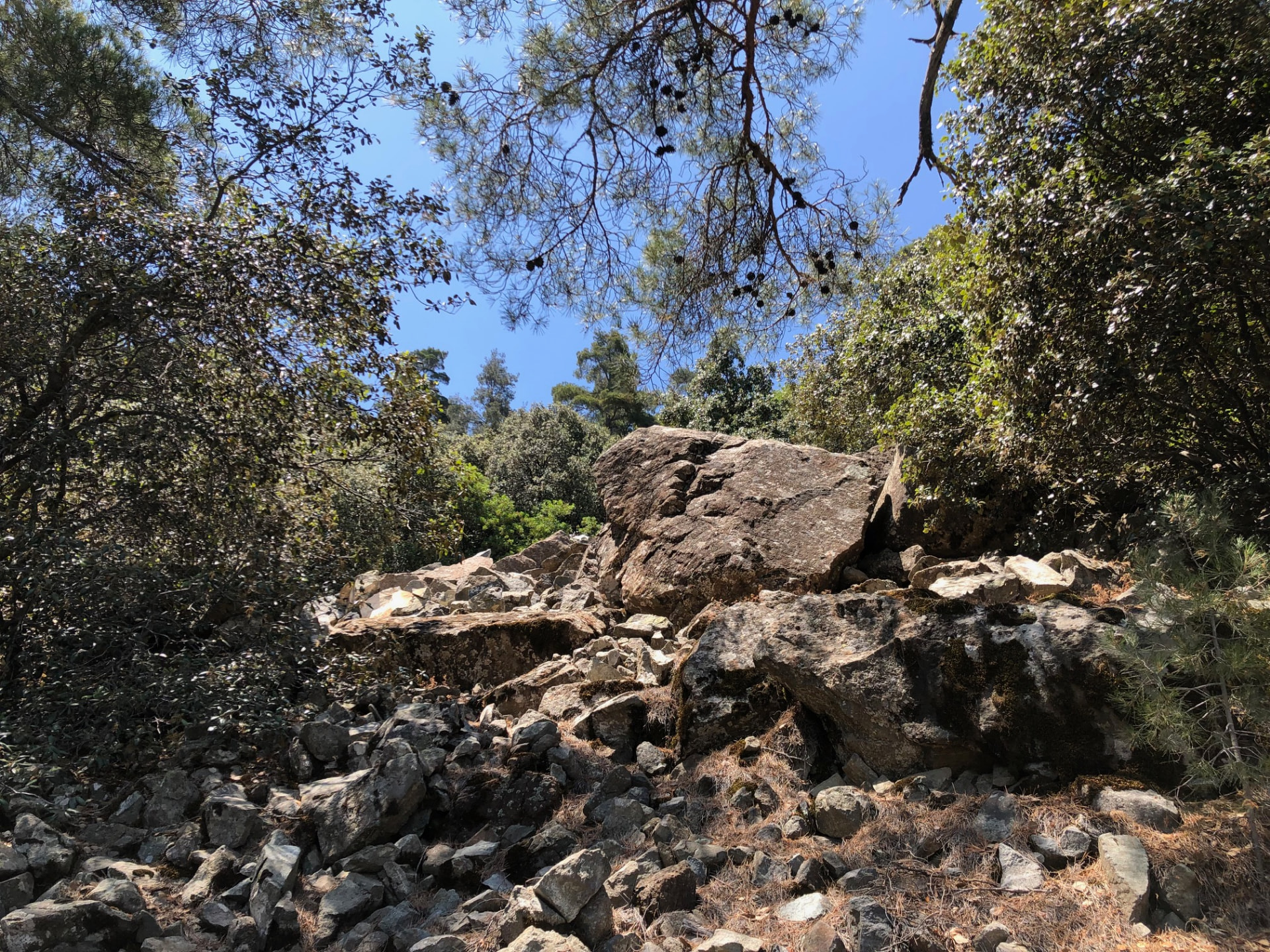
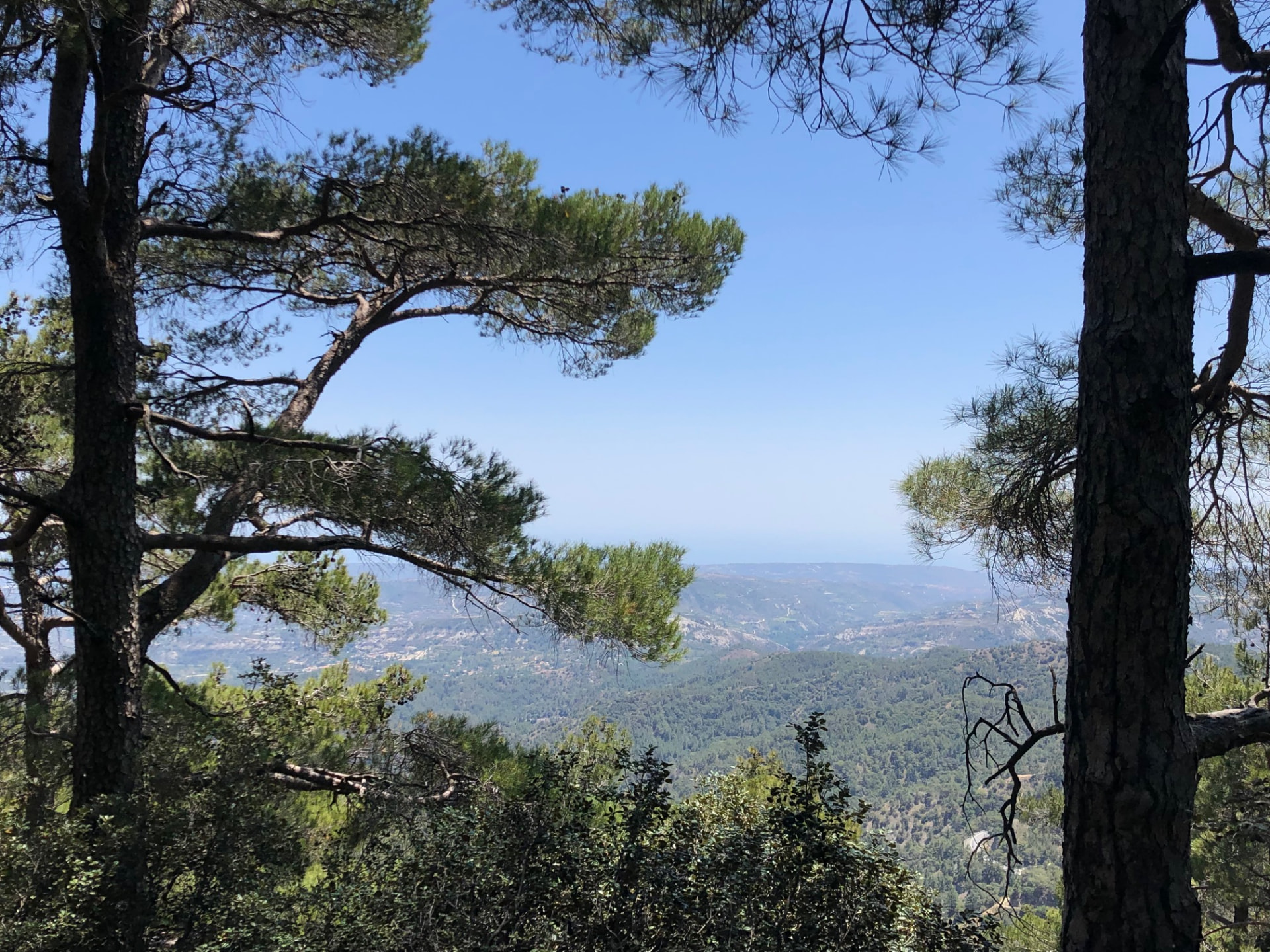
Drag sideways to see more photos
Trail notes
If you're planning to walk it
Access
The bus stops at the trail — no walk in, and the loop finishes at the same stop. The hard part is the timetable: one bus each way from Limassol, so the afternoon bus is the day's deadline.
Read more
Here is the best access on this whole site, and it costs you nothing: the bus stops at the trail. The trailhead is the Platres Forest Station - Kalidonia stop - the side of the road you get dropped at is fifty-four metres from the first step, the side you leave from is ten. No walk in, no track to find, no distance eaten before the hike begins. And the loop comes back to the same point, so the walk out is nothing either: you finish at the bus. What is thin is the timetable. Coming in, the 64 from Limassol leaves the city at 09:10 and reaches the trailhead at 10:28 every day of the week, then carries on to Troodos Square at 10:40. At the weekend the 64A from the Saittas side stops here too - 12:29 on Saturday, 11:59 on Sunday - but that is a drop-off, not a plan: the matching ride back leaves at 14:25 on Saturday and 13:55 on Sunday, under two hours for a trail this steep. Going home there is one bus, the 64 back to Limassol, and it passes at 15:41 every day, in the city at 17:00. That single bus is the day's deadline, and there is no slipping past it. The next services up the mountain are at Troodos Square, over three kilometres further along the road, and that bus leaves eleven minutes earlier - so missing 15:41 means walking down off the mountain or arranging something else. The real plan is the Limassol pair: on the trail at 10:28, off it by 15:41. Five hours and thirteen minutes for 10.6 km with 553 metres of climbing.
Best season
Hike in April and May, or October and November. Winter is wet and slippery.
Read more
Shade is not the question on this trail. All fifty of its canopy samples fall inside mapped woodland, and eighty-nine per cent of the way is hiking or alpine path - the forest closes over you for nearly the whole ten kilometres and does not open again. What decides your month here is the gradient, the water, and one bus at 15:41. The profile is the steepest I have measured: the loop runs between 1,189 and 1,604 m, and 250 of its 409 samples sit at ten per cent or steeper, a hundred of them at fifteen per cent or more. That is not a walk with a climb in it - it is a climb with a walk attached, and it has to be finished before the bus comes. Spring is the best of it: April and May, when the stream runs hard over the boulders, the ferns close green over the water, and the arbutus bark glows red in the forest. October and November are just as good and emptier, the water lower but the canopy still closed. Your own walk was June 2023, and the waterfall is why - an hour of sweat repaid in one cold breath of spray. Midsummer works only because the trees hold the heat off the path, but the fixed 09:10 start from Limassol puts you on the steepest ground in the warmest hours with no way to wait it out. Winter is when the falls are loudest and the moss darkest, but frost stays in the shaded corners, the boulders stay wet, and snow reaches Platres - one steep, slippery day with a single way down. Carry water for the whole loop and leave the top early enough to be standing at the stop with ten minutes in hand. The 15:41 does not wait, and nothing follows it.
Navigation
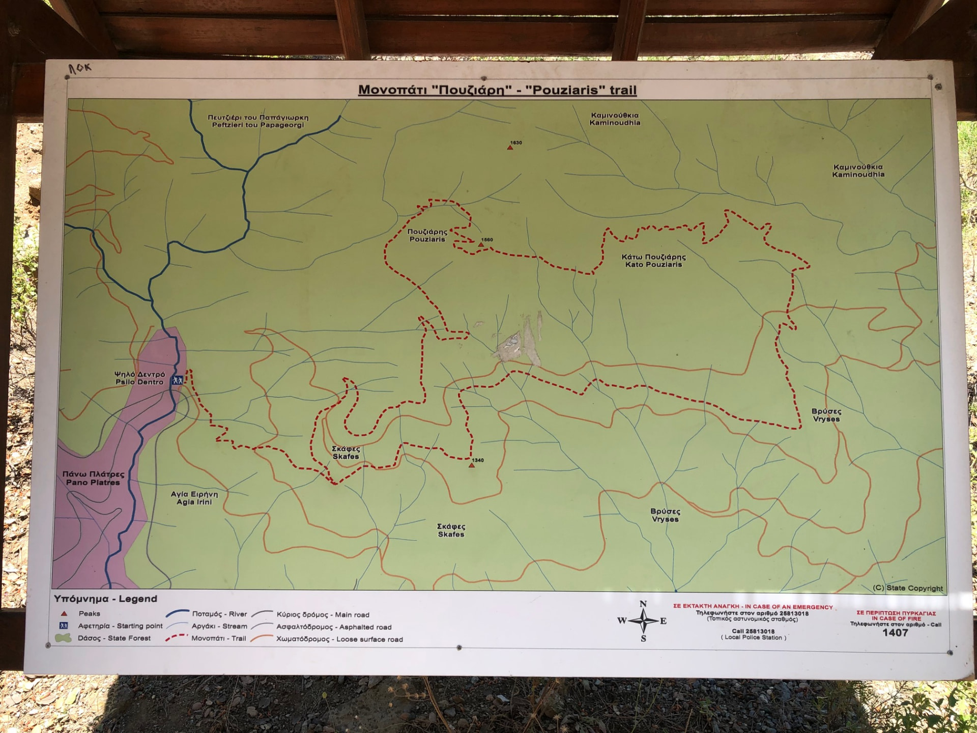
Start at the Platres Forest Station - Kalidonia bus stop, where the trail boards under the wooden shelter show both lines. The Caledonia and Pouziaris sections are designated nature trails and carry their own waymarks, so follow those signs rather than a general direction through the forest. The connection between them is the part that needs attention: 2.32 km lies outside the designated trails, and although 820 m of it follows the E4 long-distance route, the markers there are sparse, so do not expect a sign at every turn. Keep the downloaded GPS track open, especially where the path leaves the stream and starts to climb. The loop returns to the same bus stop you arrived at, so if you lose the line, backtracking to the last board or marker you trust is cheaper than guessing forward. Wet rock and stream crossings are part of the ground underfoot, so watch your footing rather than only the signs.
Water & food
The only place to buy anything on this route is the Psilo Dendro restaurant at the trailhead, so bring your own food for the loop and treat that restaurant as a possible finish, not a planned stop; opening hours are not checked here. Water is the easier half. Along the Caledonia section you can refill at almost any point from the stream, which flows all year round. It is wild water, though, so filter it before drinking: a backpacking water filter is recommended rather than drinking straight from the surface.
Partly designated route
This route only partly follows officially designated paths. For their official descriptions, see Monopatia.info. The recorded route, bus access, walking gap and sun exposure on this page are by Hiking Against Distance.
Support this documentation
Keep car-free access information open to everyone.
Your support helps turn bus journeys and days on foot into freely available GPS records, photographs and access observations. Contributions help with field transport, food, water, equipment and publishing; the information remains free whether or not you contribute.
Buy me a coffee