
Troodos, Cyprus · June 2023
Atalante Trail
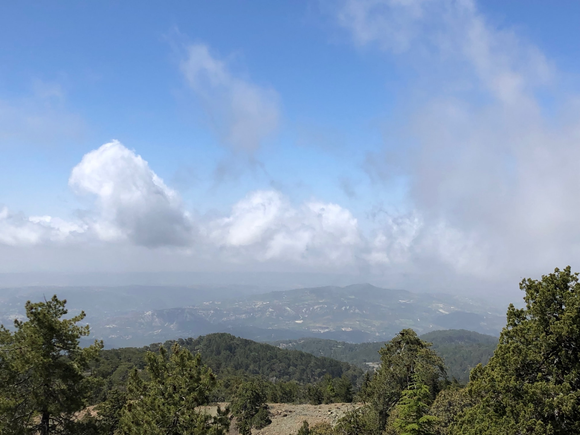
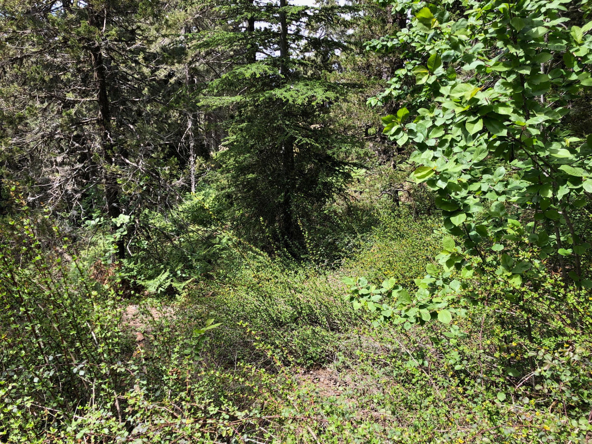
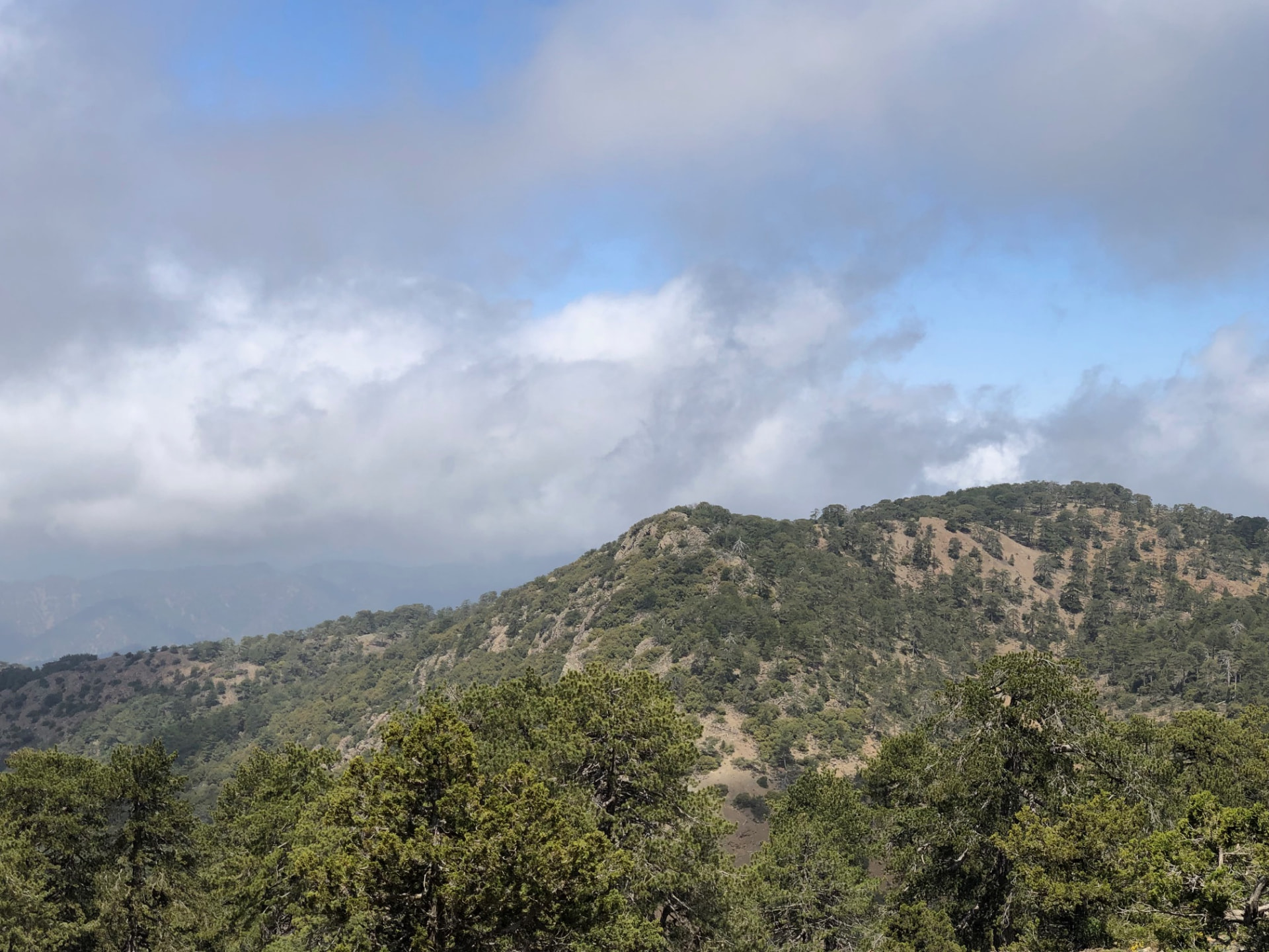
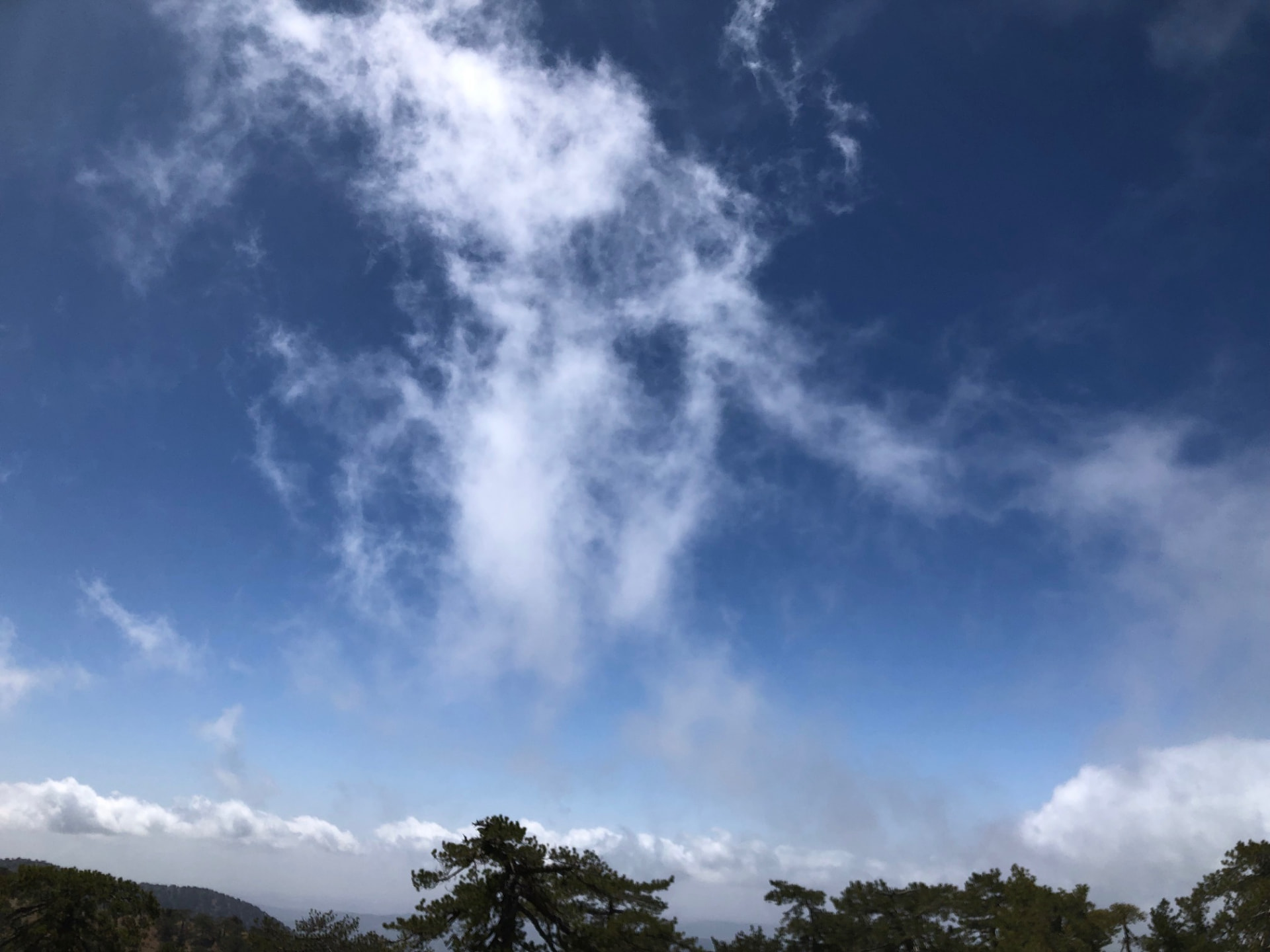
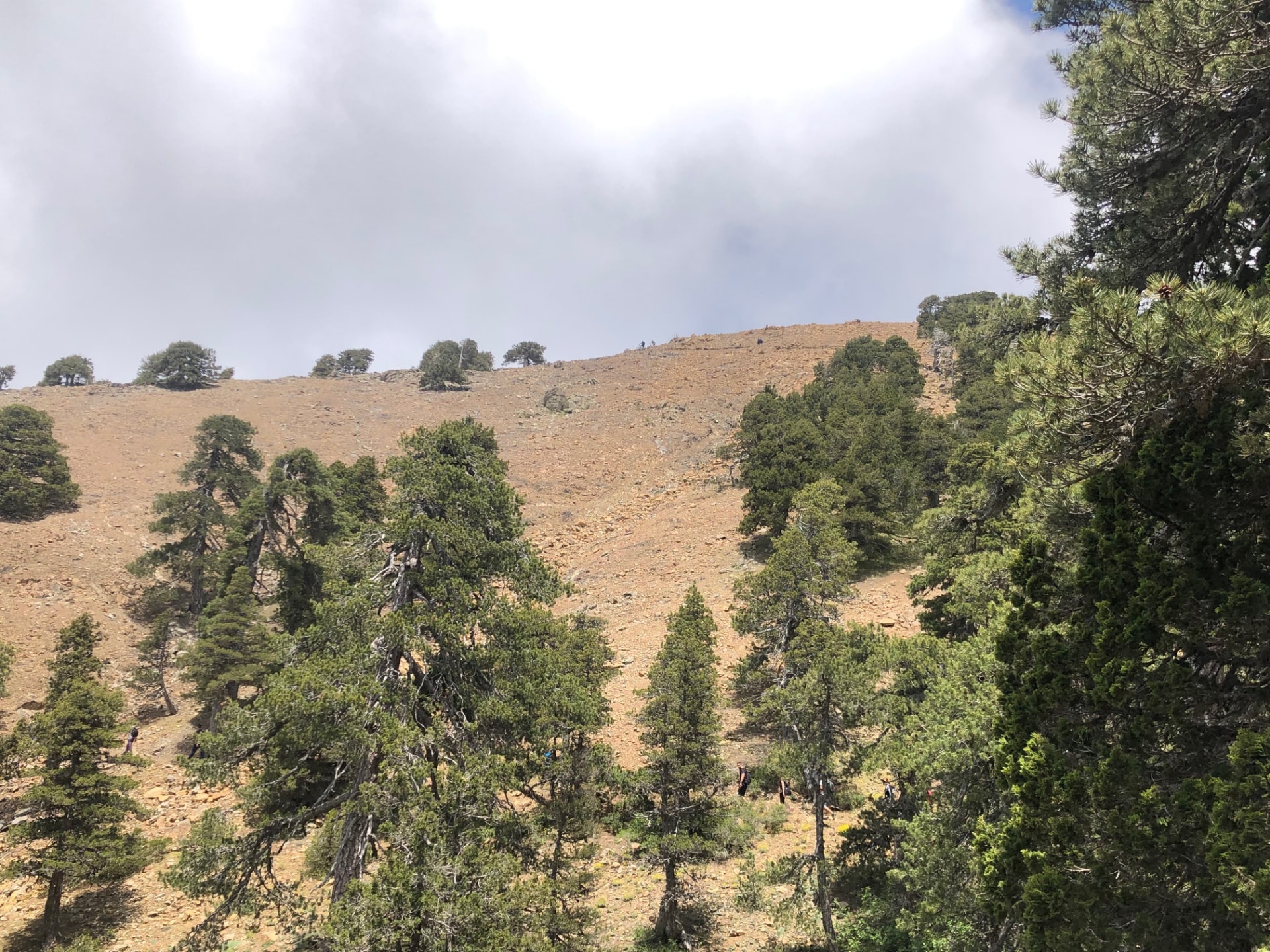
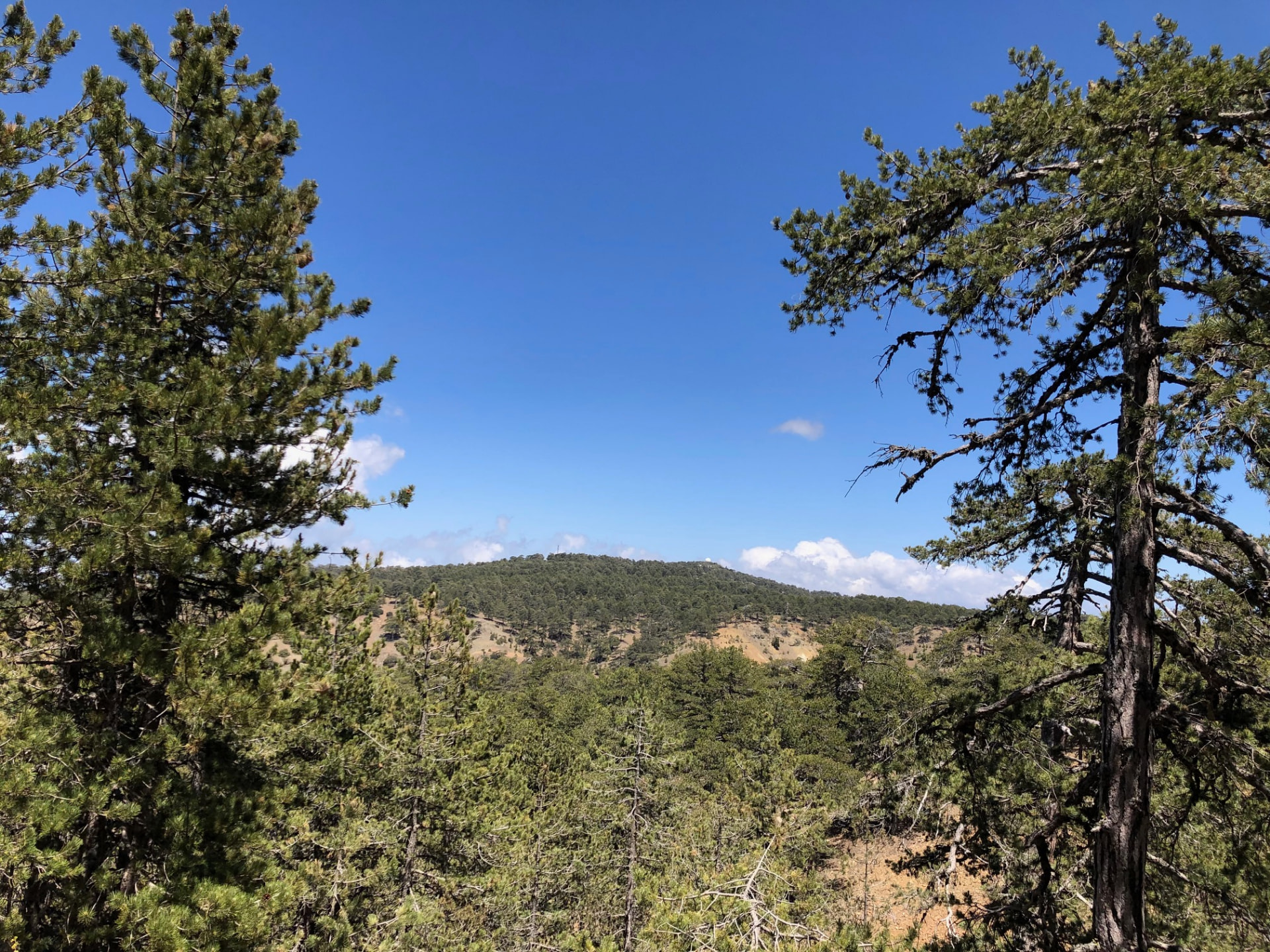
Cold air at 1,700 metres, pine needles underfoot, and a strange quiet that made every footstep feel deliberate.
Car-free access to the start
The walk after the bus
- Nearby bus stop in the snapshot
- Troodos Square
- Estimated access walk
- 0.07 km · ~1 min
- Walking-distance indicator
- Easy
This is the connection to the hike's start, not the full hike. A nearby stop does not guarantee a bus at your chosen time.
Sources and missing information
- Access source
- Stored walking-route estimate and official bus-stop snapshot
- Hike recorded
- June 2023
- Transport story checked
- Not documented
- Access snapshot verification date
- Not documented
- Access-walk ascent
- Not documented
- Access terrain and road safety
- Not documented
- Access water availability
- Not documented
- Bus service frequency
- Not documented
Distance is not a safety rating. Check current buses, access, weather, daylight and water; remote or hazardous terrain may require turning back.
13.2 km
Distance
231 m
Elevation gain
—
Peak
One day
Duration
Forest
Terrain
June 2023
Date
Moderate
Difficulty
Usually weak
Mobile signal
Overview
The story of this trail
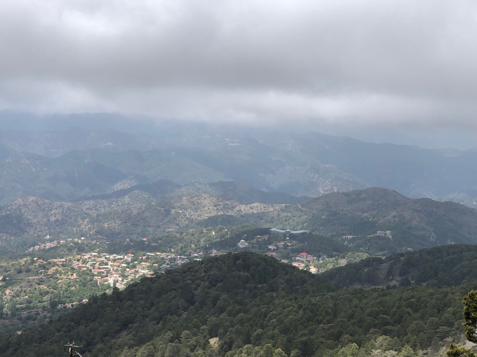
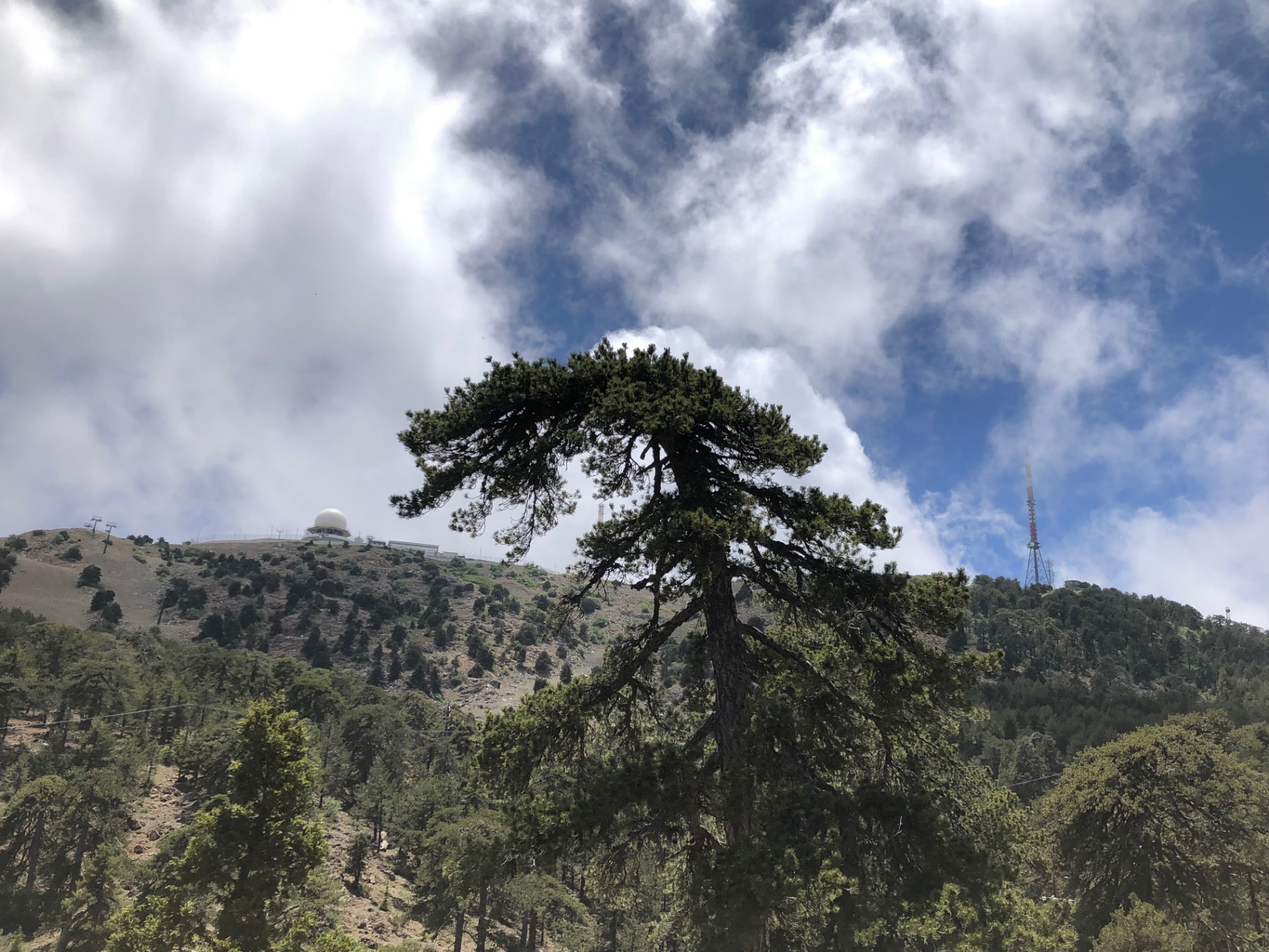
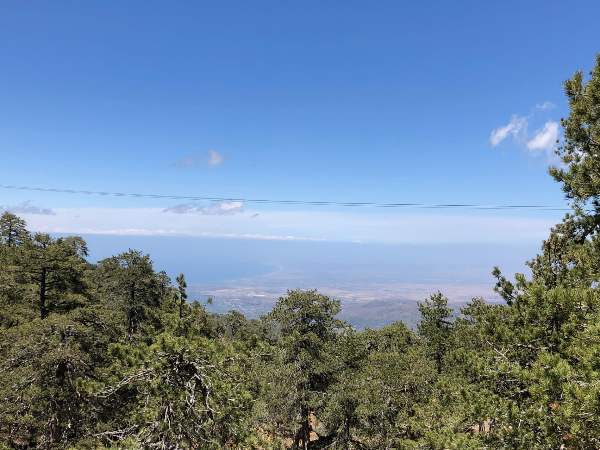
Atalante, sometimes spelled Atalanti, is the long way round Mount Olympus. Where the Artemis Trail circles close under the summit, Atalante takes a wider, lower ring. It leaves straight from Troodos Square and brings you back to the same spot, so you can step off the bus and start walking. Most of the day is spent under black pine and juniper, with the forest opening now and then onto valleys and villages far below.
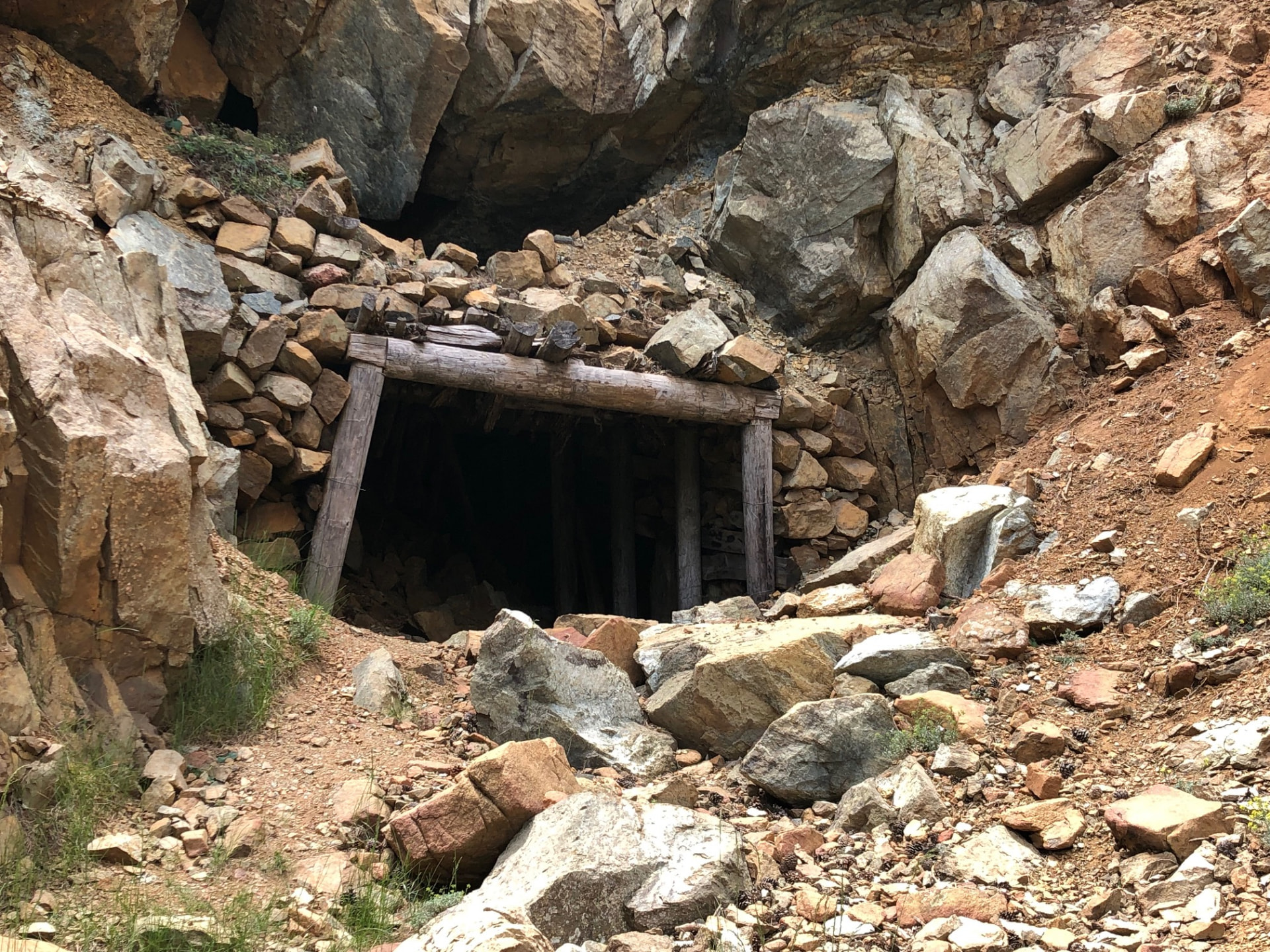
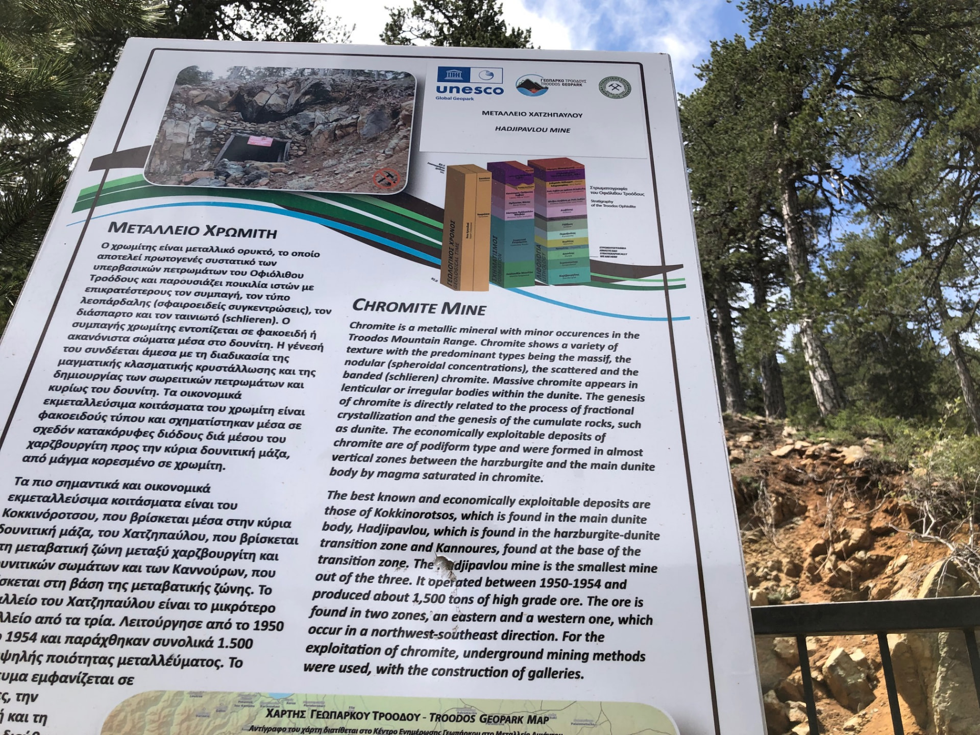
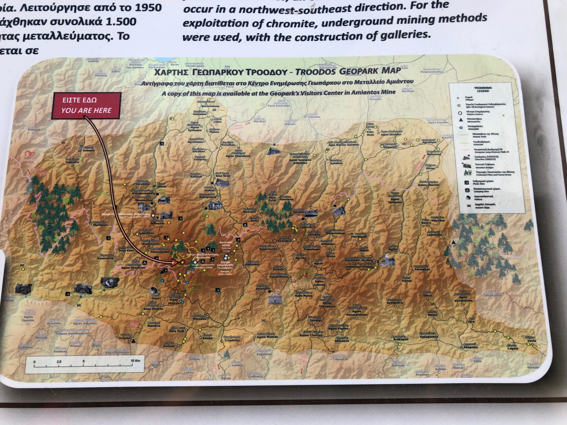
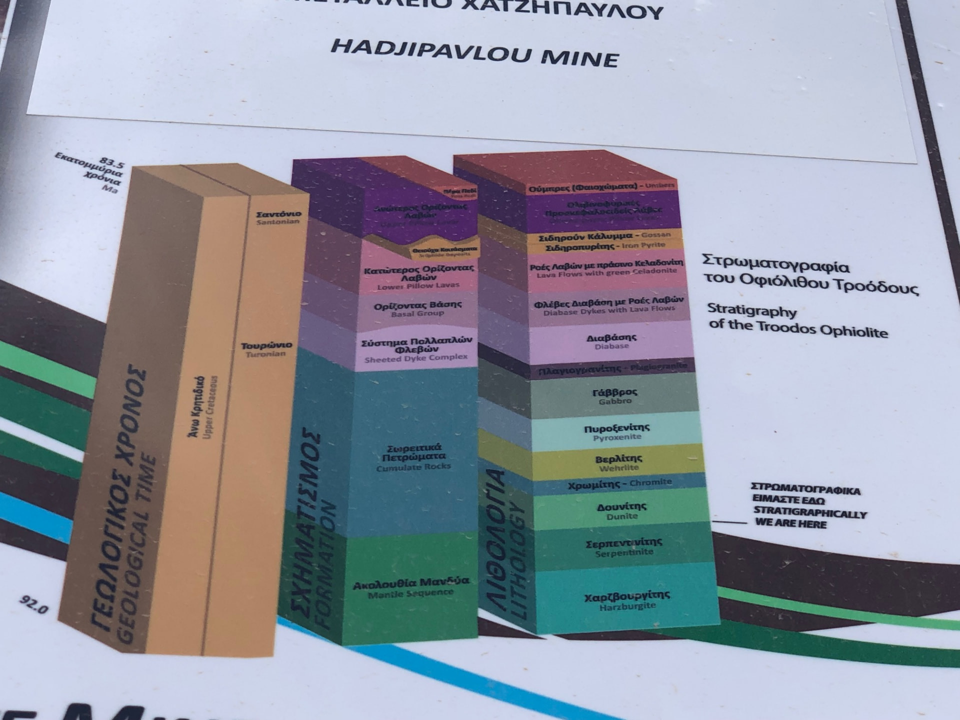
Two places along the way stay with you. One is an old juniper that is thought to be around 800 years old, older than most of the churches in the valleys beneath it. The other is the abandoned Hadjipavlou chromite mine, where timber-framed entrances and slopes of broken rock sit beside Geopark boards that explain what was dug out of this mountain and why. It is fascinating to look at, but please do it from the path and never go inside the openings.
Visit Cyprus gives the loop as 14 km and four to five hours, rating it 2 out of 3. Monopatia describes it as mostly gentle and well marked. Even so, it is a long walk, and that distance is what makes it tiring rather than any steep ground. My own recording for this page came to 13.2 km and 231 m of ascent. Those are my figures, not the official ones. Give yourself time to stop at the viewpoints, and know when your bus home leaves before you set off.
Sources: Monopatia.info — Atalanti · Visit Cyprus — Atalanti
The route
Milestones from start to finish
Atalante Trail
Drag to move · scroll to zoom
Elevation & steepness
1702–1808 m
Distance
13.24 km
Elevation gain
231 m
Elevation loss
229 m
Highest point
1808 m
Lowest point
1702 m
Steepness by distance
Major climbs & descents
The most significant sustained climbs and descents along the route.
Major climbs
Major descents
Road type
How the route is classified across its full distance.
Weather at the trailhead
Loading the forecast…
Sun & shade through the day
Sun & shade mixShade category · from Monopatia.infoCurrent date and time: …
Working out the sun along the route…
From the trail
Moments from the walk
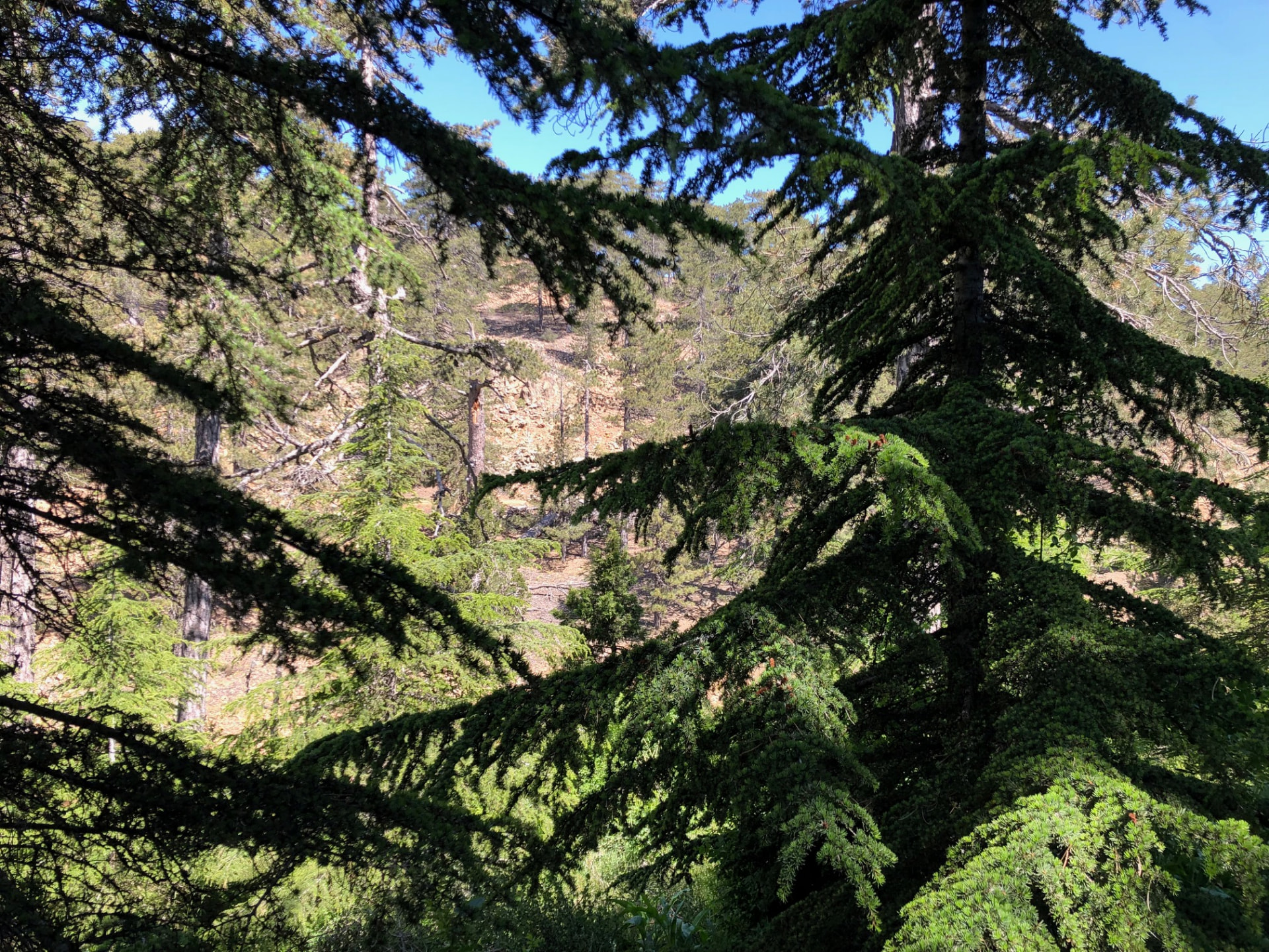
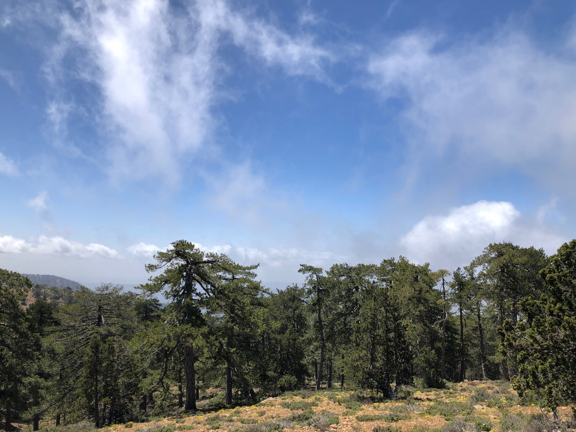
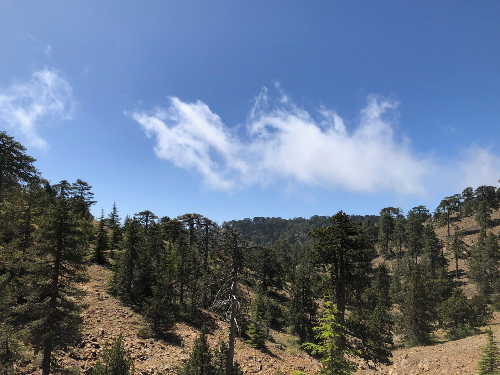
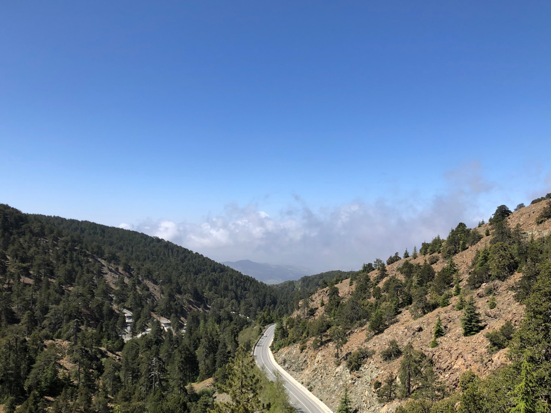
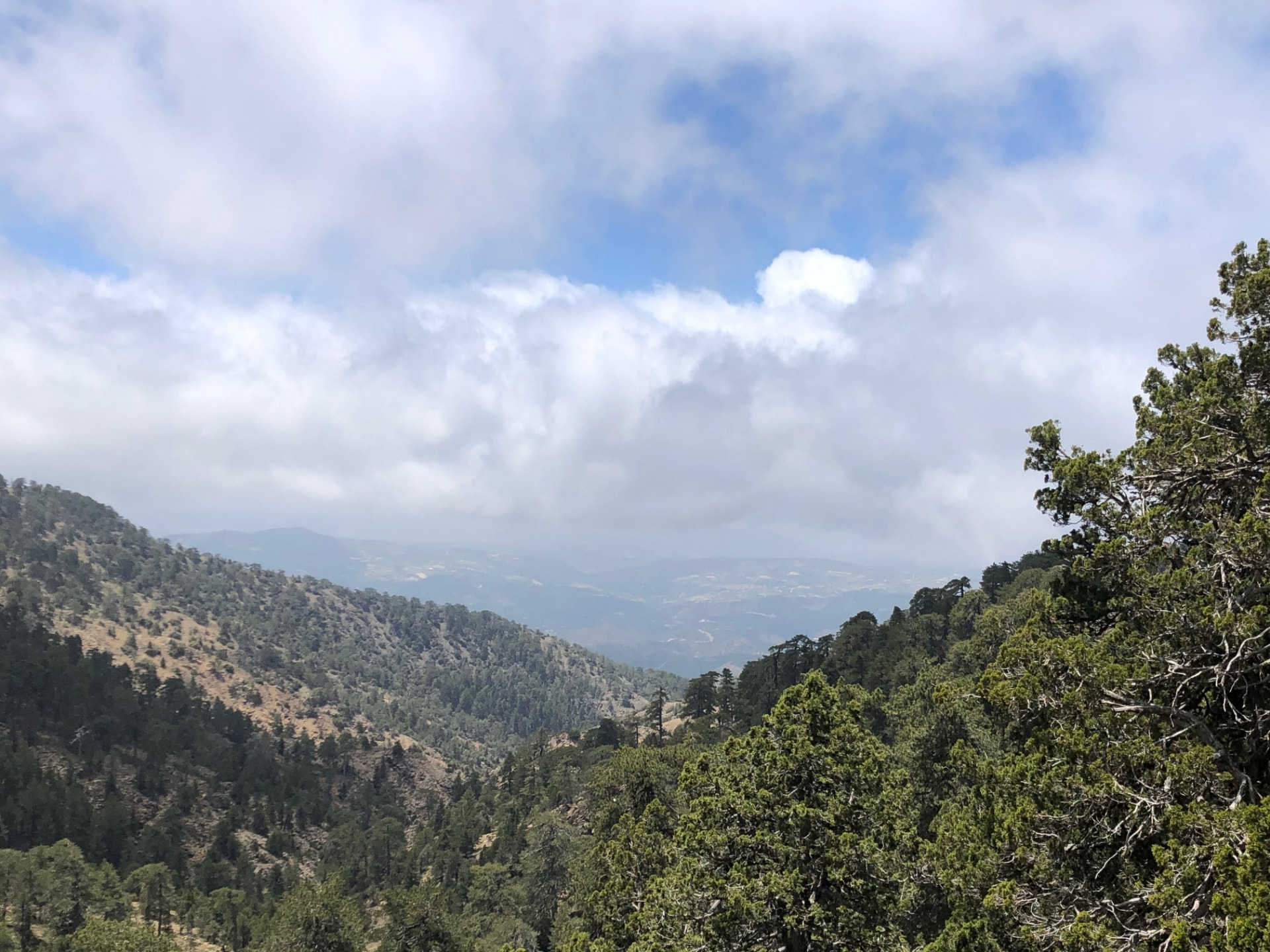
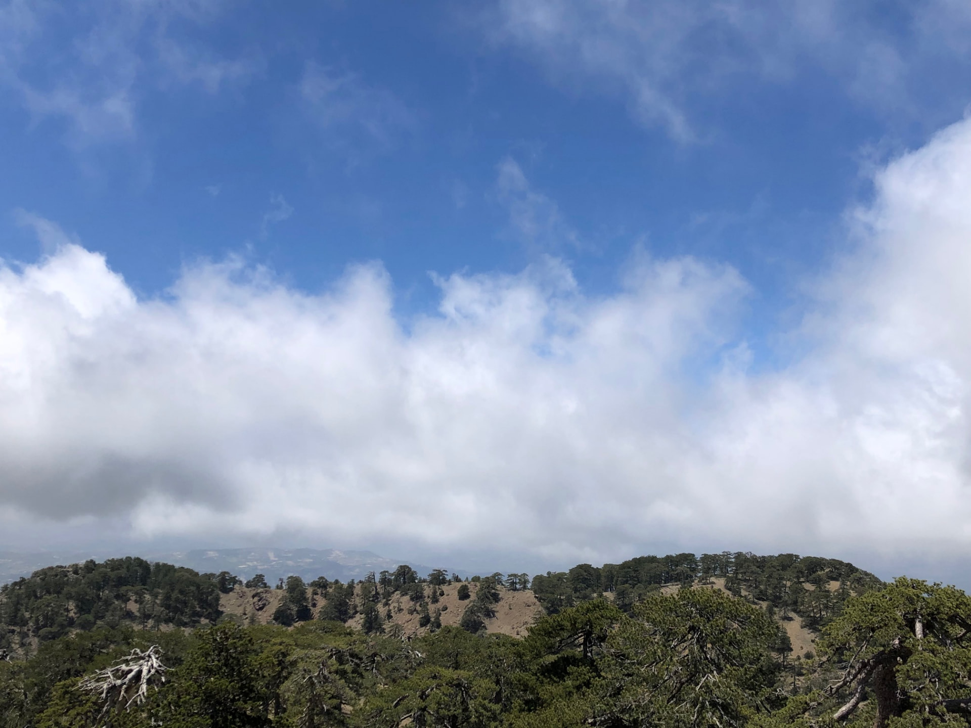
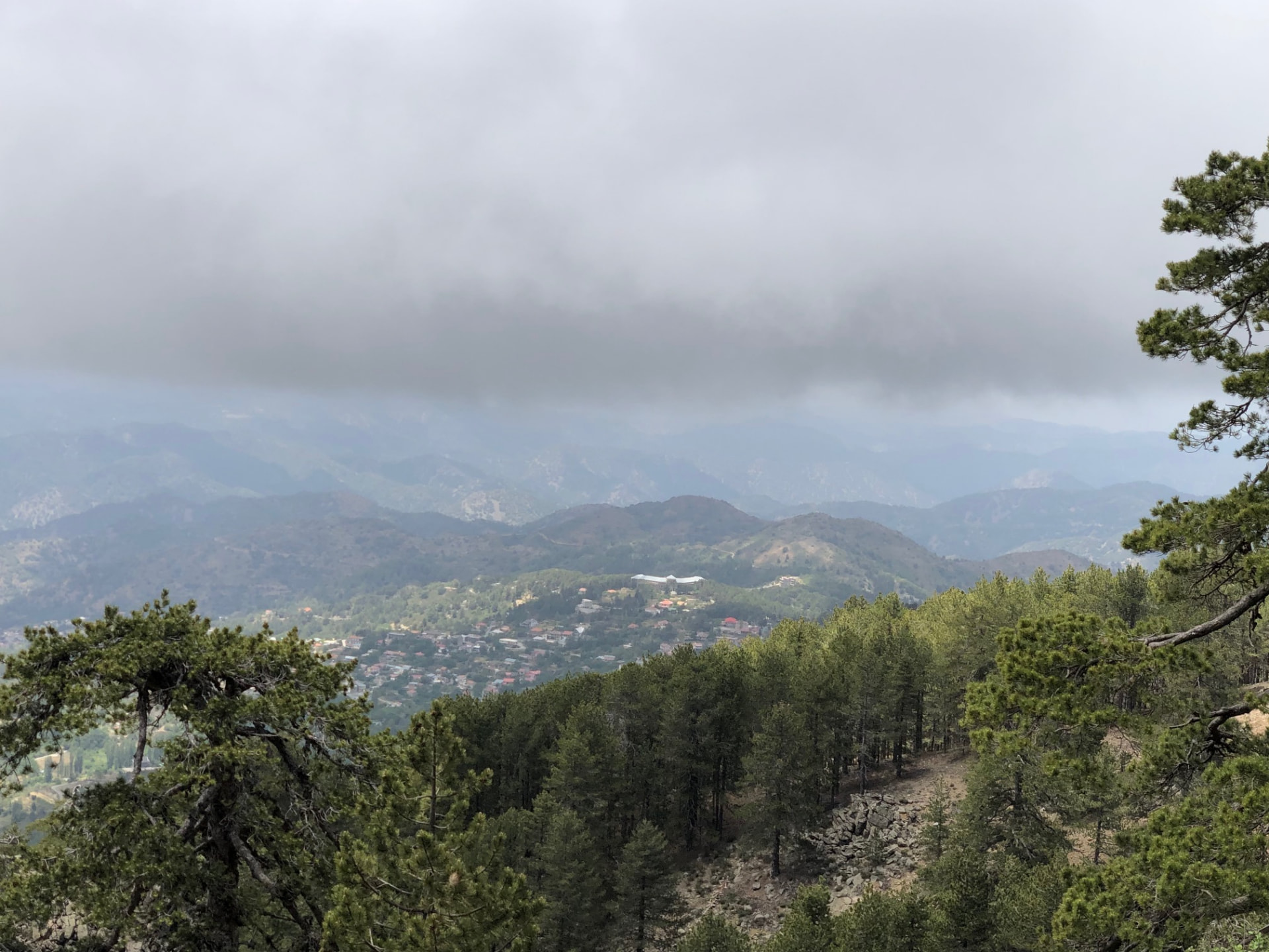
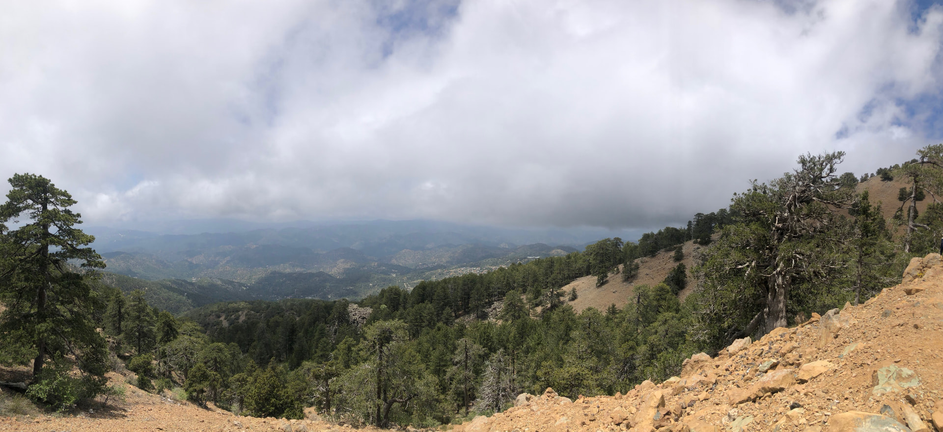
Drag sideways to see more photos
Trail notes
If you're planning to walk it
Access
The bus stops at the trail: the trailhead is Troodos Square itself, and the loop finishes back at the same square. The hard part is the thin timetable — from Limassol there is only one bus each way.
Read more
The bus stops at the trail. The trailhead is Troodos Square itself, and the distance between the stop and the first step of the loop is 70 m — about a minute. It is also a loop that comes back to the same square, so there is no second walk waiting at the end: you finish where the bus is standing. That is the whole of the difficulty here, because the timetable is thin. From Limassol there is exactly one bus each way, every day of the week: the 64 from Lemesos reaches the Square at 10:40, and the same line leaves it again at 15:30. That is four hours and fifty minutes on the hill for a 13.2 km walk — enough only if you keep moving, and nothing like a day you can linger through. Kakopetria is the better approach on a weekday: the 87 comes in at 09:44, 12:49 and 15:24 and goes out at 09:50, 12:50 and 15:50, so the morning pair gives you six hours and six minutes. From Nicosia the 408 runs from Makario Stadium on Saturday and Sunday only, in at 09:22, 12:18 (12:23 on Sunday) and 15:23 (15:19 on Sunday), back to the Stadium at 10:00, 13:00 and 16:00 — six hours and thirty-eight minutes from the first pair. The 64A from Saittas by way of Platres touches the Square at 12:40 on Saturday and 12:10 on Sunday, and leaves again at 14:15 and 13:45. However you arrive, the last useful bus out is the 15:30 to Limassol, the 15:50 to Kakopetria on a weekday, or the 16:00 to Nicosia at the weekend. Miss it and there is no following bus — you are phoning someone to come up the mountain for you.
Best season
Hike from late spring to autumn. The pines keep it cool in summer; winter can bring snow.
Read more
Shade is not the question on this trail. Forty-nine of the fifty canopy samples along the loop fall inside mapped woodland, and ninety-two per cent of the way runs as mountain track under black pine, so the sun is filtered out from the first minute to the last. Altitude and the timetable decide the month instead. The loop sits between 1,702 m and 1,808 m, and of its 508 recorded samples only seven sit on a steep gradient — 249 flat, 191 easy, 61 moderate — so this is a long, gentle undulation rather than a climb, and that is what makes the warm months possible. I walked it in June, and the cold air at 1,700 metres was the point of it: the coast was already baking while up here the forest kept the heat off the path and the quiet felt deliberate. Midsummer works on exactly that condition, with one catch — the single Limassol pair, 10:40 in and 15:30 out, puts you on the hill in the warmest part of the day and takes you off it before the light softens, so in July and August the Kakopetria or Nicosia approach is the better plan. April and May are the prettiest of it: green in the clearings, ground dry enough to hold a pace, the light long. October and November are just as good and emptier, and the year's first cold settles in without yet closing anything. Winter is the honest no. December to February the high ground belongs to frost and mud, snow reaches the Square often enough to break a plan, and a wet path at 1,750 m with the dark arriving before five is not what this loop is for. Whatever month you come in, leave time for the old Hadjipavlou mine workings the trail passes — the Geopark boards explain them, and that stretch of broken rock and shade is worth the minutes it costs.
Navigation
Follow the Atalanti trail signs from Troodos Square. This is a marked circular trail, but keep an offline map or the recorded track with you, especially at junctions. The official description notes a road crossing about 9 km into the route: cross the Troodos–Prodromos road carefully, then follow the Katoikies Chromiou forest road towards Agios Nikolaos tis Stegis for about 200 m until a wooden sign directs you back onto the trail. The remaining path runs roughly parallel to the main road and returns to Troodos Square. Watch your footing on rocks and roots, particularly when wet.
Water & food
Buy food and fill your water bottles at Troodos Square before you start. There are no food resupply points along the trail, so carry your lunch and snacks for the whole loop. A water spring is about 3 km from the start in the direction described by the official trail guide; Visit Cyprus lists it as a drinking-water fountain. Treat it as a possible refill, not your only supply: flow and water quality on the day are not checked here. Carry enough water to finish if the spring is dry or a notice advises against drinking. You can buy food and drinks again when you return to Troodos Square, subject to opening hours.
Designated trail
This is an officially designated trail. For its official description, see Monopatia.info. The recorded route, bus access, walking gap and sun exposure on this page are by Hiking Against Distance.
Support this documentation
Keep car-free access information open to everyone.
Your support helps turn bus journeys and days on foot into freely available GPS records, photographs and access observations. Contributions help with field transport, food, water, equipment and publishing; the information remains free whether or not you contribute.
Buy me a coffee