Troodos, Cyprus · June 2024
Artemis Trail
A high-altitude circular walk around the summit of Mount Olympus through black pine forest.
Car-free access to the start
The walk after the bus
- Nearby bus stop in the snapshot
- Troodos Camping Site
- Estimated access walk
- 3.17 km · ~39 min
- Walking-distance indicator
- Moderate
This is the connection to the hike's start, not the full hike. A nearby stop does not guarantee a bus at your chosen time.
Sources and missing information
- Access source
- Stored walking-route estimate and official bus-stop snapshot
- Hike recorded
- June 2024
- Transport story checked
- Not documented
- Access snapshot verification date
- Not documented
- Access-walk ascent
- Not documented
- Access terrain and road safety
- Not documented
- Access water availability
- Not documented
- Bus service frequency
- Not documented
Distance is not a safety rating. Check current buses, access, weather, daylight and water; remote or hazardous terrain may require turning back.
7.21 km
Distance
109 m
Elevation gain
—
Peak
One day
Duration
Forest
Terrain
June 2024
Date
Easy
Difficulty
Usually weak
Mobile signal
Overview
The story of this trail
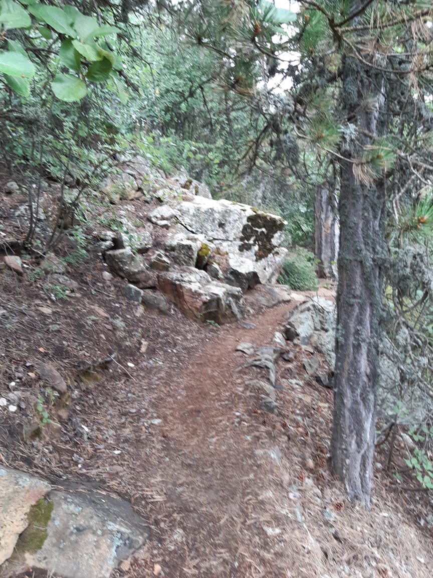
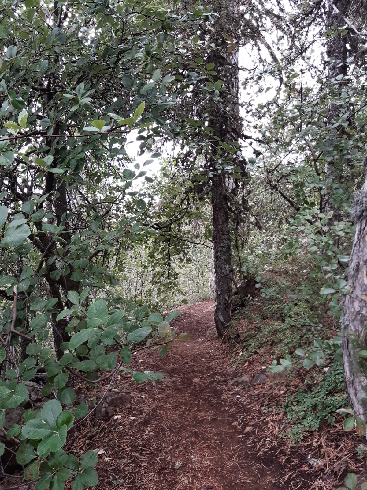
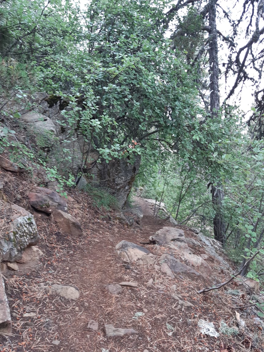
Artemis is the trail that walks you all the way around the top of Cyprus. It loops around Mount Olympus, also called Chionistra, at roughly 1,850 metres, so you never actually stand on the 1,952 m summit, but you circle just below it, with the island dropping away on every side. It is named after the goddess Artemis, twin sister of Apollo, which feels right for a path that spends most of its time among quiet, old trees.
Those trees are the reason to come. The loop runs through black pine forest, and two of the pines along the way are said to be around 500 years old. The information boards also point out the rocks underfoot, dunite and harzburgite from deep inside the Earth, and plants that grow almost nowhere else, such as Troodos sage. On one stretch you pass the low ruins of makeshift walls built in 1571 by Venetian commanders who watched Nicosia fall to the Ottomans from up here and decided to surrender.
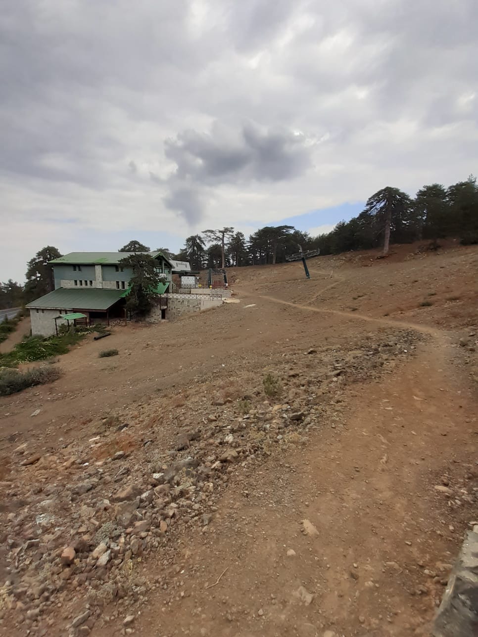
Officially the loop is about 7 km and takes two and a half to three hours. It starts around 300 m from the junction where the Chionistra road meets the Troodos–Prodromos road. It is rated as easy, with only one short climb of 200–300 m after the ski club. There is no drinking water on the route. My own track for this page measured 7.21 km with 109 m of ascent, and Monopatia lists 7.31 km. Small differences like these are normal between GPS recordings.
Sources: Monopatia.info — Artemis · Visit Cyprus — Artemis · Troodos Geopark — Artemis Geo-Trail
The route
Milestones from start to finish
Artemis Trail
Drag to move · scroll to zoom
Elevation & steepness
1816–1847 m
Distance
7.21 km
Elevation gain
109 m
Elevation loss
108 m
Highest point
1847 m
Lowest point
1816 m
Steepness by distance
Major climbs & descents
The most significant sustained climbs and descents along the route.
Major climbs
Major descents
Road type
How the route is classified across its full distance.
Weather at the trailhead
Loading the forecast…
Sun & shade through the day
Mostly shadyShade category · from Monopatia.infoCurrent date and time: …
Working out the sun along the route…
From the trail
Moments from the walk
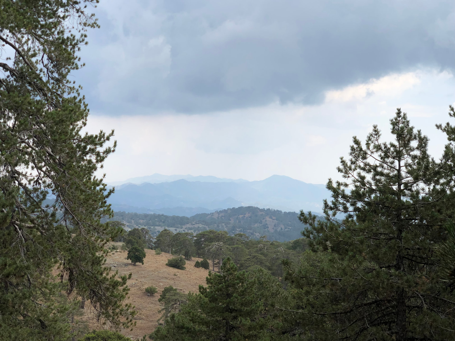
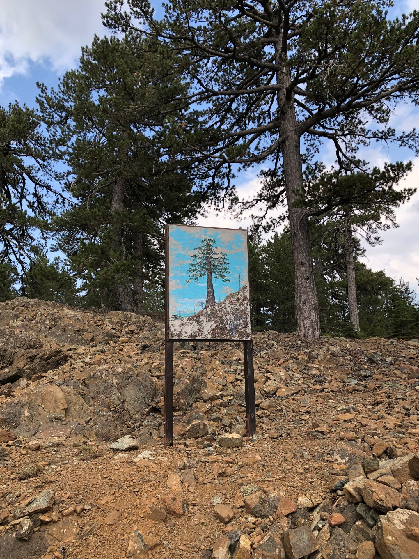
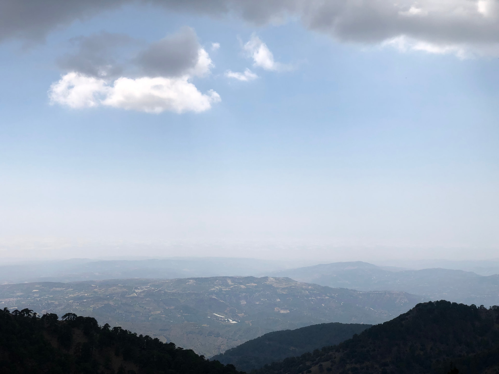
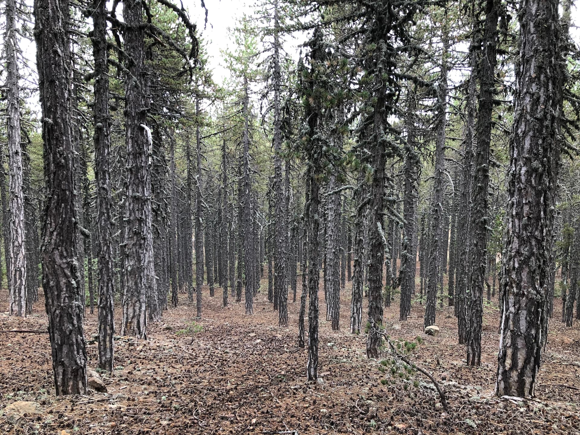
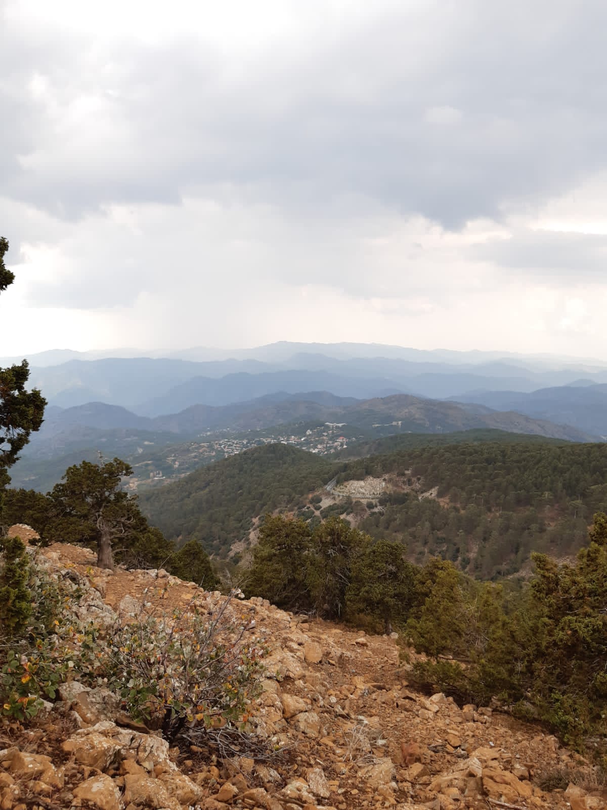
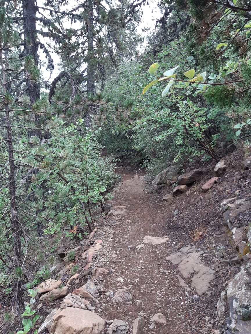
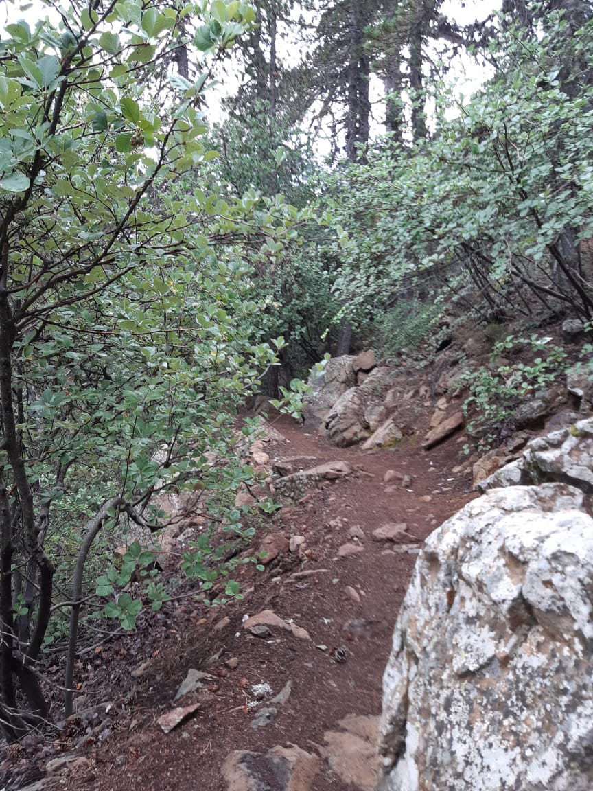
Drag sideways to see more photos
Trail notes
If you're planning to walk it
Access
No bus reaches the trailhead. Take a bus to Troodos, then walk about 3 km uphill to the start — about 40 minutes. The trail is a loop, so you walk the same 3 km back to the bus at the end.
Read more
No bus comes to the trailhead. The nearest stop is Troodos Camping Site, on the road that climbs in from Kakopetria, and this page measures the walk from there: 3.17 km, about 40 minutes, and it climbs the whole way, because the stop sits at 1,669 m and the trail starts at 1,829 m — roughly 160 m of the day happens before you reach the forest. Coming in on a weekday, you want the 87 from Kakopetria, which stops at the camping site at 09:42, 12:47 and 15:22; at the weekend it is the 408 from Nicosia (Makario Stadium), arriving at 09:20, then 12:16 on Saturday or 12:21 on Sunday, and again at 15:21 or 15:17. From Limassol there is one bus each way: the 64 arrives at Troodos Square at 10:40 and leaves it at 15:30, every day — and the Square is a different stop, further from the trail than the camping site. Going home, the same buses leave from the far side of the road: the 87 back to Kakopetria at 09:51, 12:51 and 15:51 on weekdays, the 408 back to Nicosia at 10:01, 13:01 and 16:01 at the weekend, and the 62K only on Tuesday and Friday, in at 08:37 and out at 11:12. The loop comes back to the point where it started, so the walk out is the same 3.17 km, mostly downhill, at the end of a 7.21 km day — and it has to be finished before the last bus, gone at 15:51 on weekdays and 16:01 at the weekend. In practice that means leaving the trail by about 15:00.
Best season
Hike in May and June, or September to November. Summer is fine up here; avoid deep winter snow.
Read more
Altitude does the work here. The loop never leaves the band between 1,816 m and 1,847 m — the highest ground I have walked on this site — and all fifty of the canopy samples along it fall inside mapped woodland, so the sun reaches you filtered from the first step to the last. That is why Artemis is the one hike here where midsummer is not a mistake: while the coast bakes, the pines hold the heat off the path and the air stays thin and cool. My own walk was June 2024, and cool shade at that height was the whole reason for climbing up here. What decides your month instead is the timetable and the winter. The profile is gentle — of 264 recorded samples, 146 flat, 101 easy, 12 moderate and only 5 steep, none steeper than fifteen per cent — so the ground itself asks for nothing. The buses do: the last useful ride out goes at 15:51 on a weekday and 16:01 at the weekend, and ahead of it sits a 3.17 km walk that climbs the whole way. In December and January that deadline arrives in the dark, frost stays in the shaded corners, and snow reaches this height often enough to break a plan — the ski lifts near the summit exist for a reason, and the cafe on the loop is a winter place, open when the lowland walkers have gone. So: May and June for cool air and long light, September to November for the same forest empty. April works once the snow has left. Deep winter I would leave to the skiers. And whatever month you come, carry water and food with you, because the one refill on the hill may be shut.
Navigation
The trail carries markings along its length, so you can follow it without reading the ground for a route. The loop closes on itself, which means the way out becomes the way back, and the only real decision is which way to start. A downloaded GPS track is still worth carrying for the days when cloud sits on the crest and the marks fade.
Water & food
Carry your own water and food. The nearest village is Troodos, and the loop never comes down to it, so there is nothing along the route you can count on. The one exception is the North Face cafe, about 6.1 km into the walk, near the ski lifts on the north side of the summit, where you can refill a bottle and buy something to eat. It is a ski-season place though, and in the warm months it may be shut, so treat it as a bonus rather than a plan: set out with enough for the loop and the 3.17 km walk back to the bus.
Designated trail
This is an officially designated trail. For its official description, see Monopatia.info. The recorded route, bus access, walking gap and sun exposure on this page are by Hiking Against Distance.
Support this documentation
Keep car-free access information open to everyone.
Your support helps turn bus journeys and days on foot into freely available GPS records, photographs and access observations. Contributions help with field transport, food, water, equipment and publishing; the information remains free whether or not you contribute.
Buy me a coffee